Toggle navigation
Mountains
Routes
Images
Trip Reports
Forum
What's New
People
Areas & Ranges
Articles
Trailheads
Canyons
Huts & Campgrounds
Albums
Logistical Centers
Fact Sheets
Lists
Custom Objects
Gear
Plans & Partners
WELCOME TO SUMMITPOST
SIGN IN
REGISTER
50/50 Flat
50/50 Flat
View High-Resolution Image
50/50 Flat
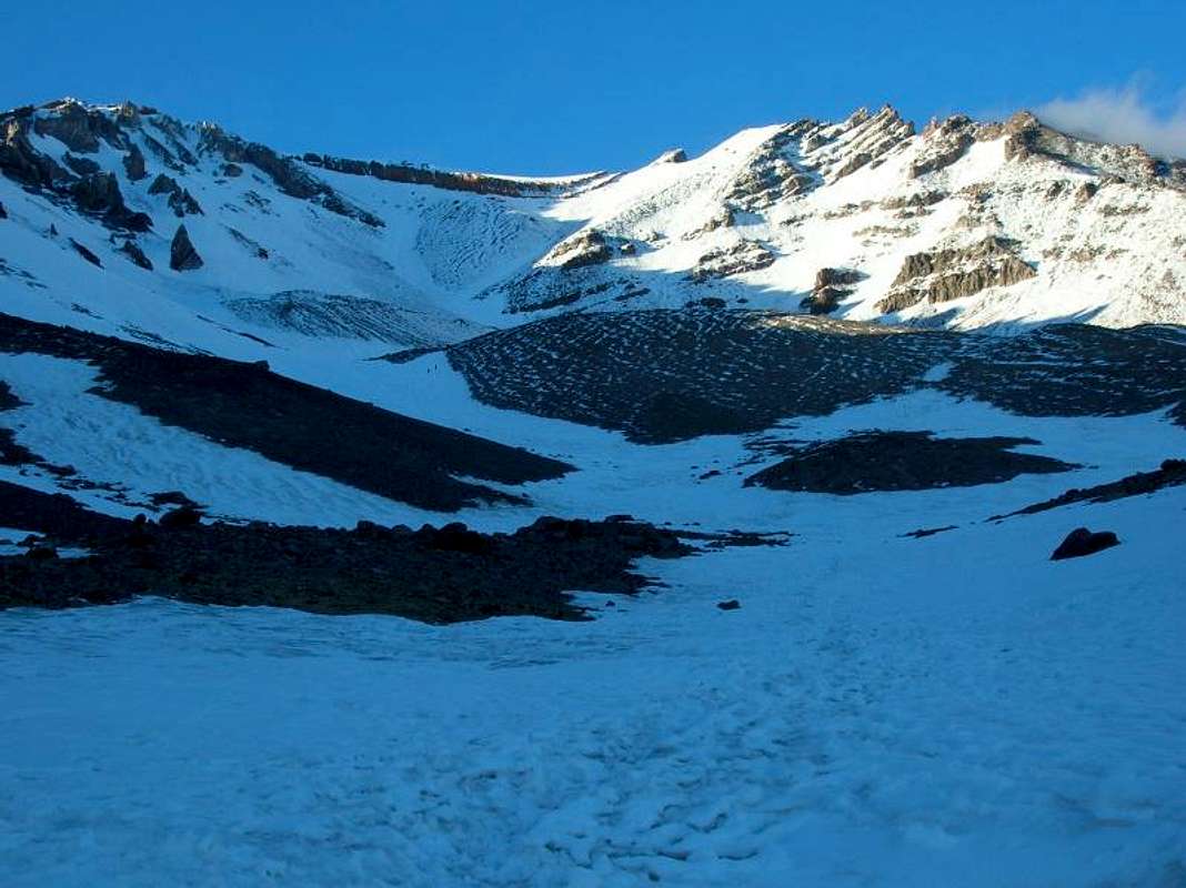
Mt. Shasta's Avalanche Route view, 3.2 miles from TH, 9,400 ft.
« PREV
NEXT »
rsg925
on
Sep 3, 2008 11:42 pm
Comments & voting
Other parents
Lat/Lon:
41.38350°N / 122.2167°W
Image Type(s):
Alpine Climbing
Image ID:
438831
858 Hits
72.08
% Score
2
Votes
Log in to vote
Comments
No comments posted yet.
to post!
Don't have an account?
rsg925's Image Gallery
« PREV
Viewing
#3 of 60
GALLERY
NEXT »
×
You need to login in order to vote!
User Name
Password
Remember me
Forgot your password?
Log me out when I close my browser.
Keep me logged in all the time.
sign in as a user
Don't have an account?
Register now for FREE
Rating available
Suggested routes for you
People who climb the same things as you
Comments Available
Create Albums
Register Here


