Toggle navigation
Mountains
Routes
Images
Trip Reports
Forum
What's New
People
Areas & Ranges
Articles
Trailheads
Canyons
Huts & Campgrounds
Albums
Logistical Centers
Fact Sheets
Lists
Custom Objects
Gear
Plans & Partners
WELCOME TO SUMMITPOST
SIGN IN
REGISTER
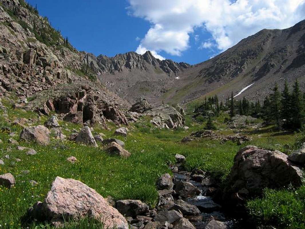
Approaching the hanging...
View High-Resolution Image
Approaching the hanging...
Approaching the hanging valley above the Pitkin Creek drainage. The south ridge of
Peak W
lies ahead. September 2005.
Jon Bradford
« PREV
NEXT »
JonBradford
on
Sep 9, 2005 6:23 pm
Comments & voting
Other parents
Lat/Lon:
39.70430°N / 106.272°W
Image ID:
125287
2004 Hits
75.81
% Score
6
Votes
Log in to vote
Comments
No comments posted yet.
to post!
Don't have an account?
Peak W
(Mountain/Rock)
You are at
the First
Image
Viewing
#1 of 1
GALLERY
You are at
the Last
Image
JonBradford's Image Gallery
« PREV
Viewing
#487 of 1444
GALLERY
NEXT »
Peak W
(Mountain/Rock)
Loading....
×
You need to login in order to vote!
User Name
Password
Remember me
Forgot your password?
Log me out when I close my browser.
Keep me logged in all the time.
sign in as a user
Don't have an account?
Register now for FREE
Rating available
Suggested routes for you
People who climb the same things as you
Comments Available
Create Albums
Register Here


