dal quale trovasi riparo solo scendendo più abbasso. Verso i primi segnali di Vita, le testimonianze dei quali permanevano ancora agli inizi degli Anni Settanta. Rimanevan segni delle argentee asce sui tronchi tagliati con somma maestria ed il controllo dell'equilibrio tra spazio e terra, sospeso su ruvida pietra scolpita a sostegno d'un grande fardello.
Poi, man mano che scendi, incontri altri villaggi ed altre costruzioni. Ma mai i cimiteri.
You have to go even further down, toward the Valsainte, which in those days was not Sainct and Salassi shunned because formed by a horrid throat above the Castle of Villair-de-Quart, built in
"recent" 1185. There inhabited exclusively by herds wolves and even a few groups bears, while above the eagles circled, ominously looking for their prey.
But we're talking about almost 6,000 years ago, that is, more than 3,000 years before Christ,
in a long period called and thoroughly known by all as the Neolithic.
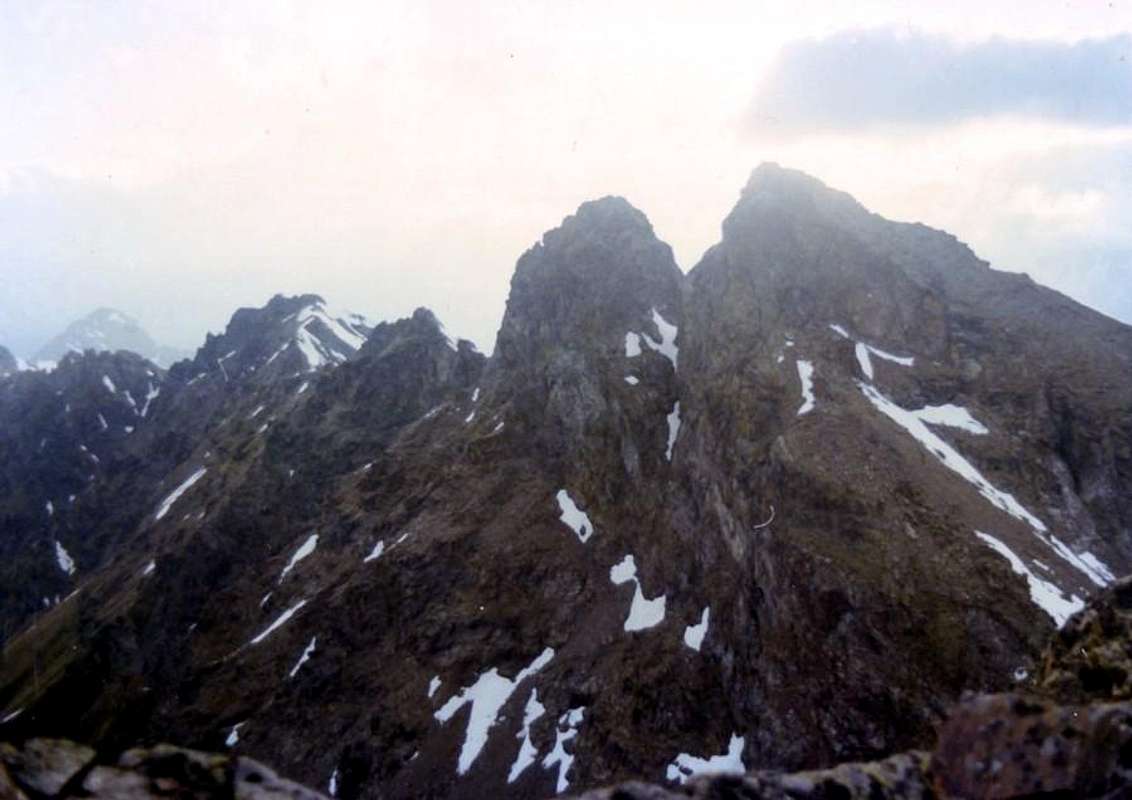
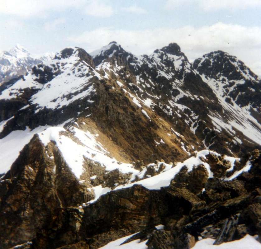
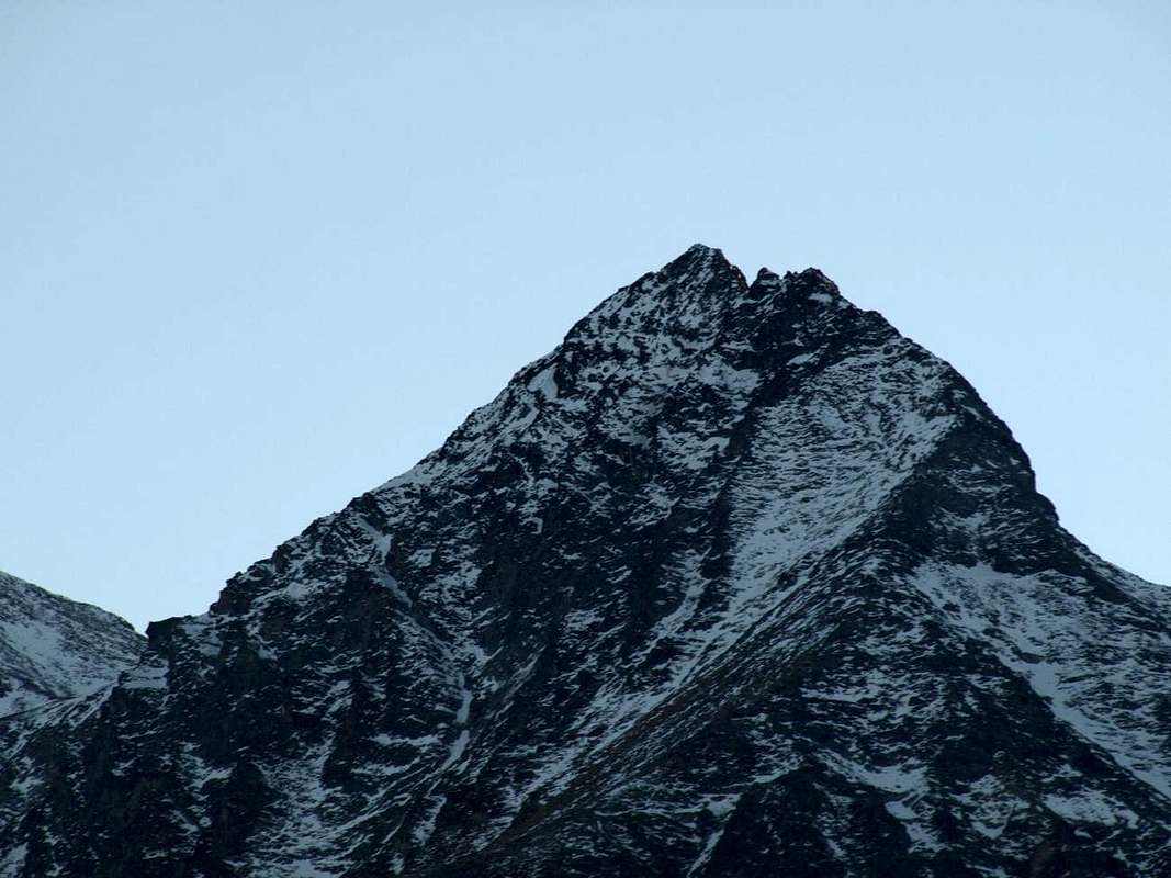
But everything has stayed the same and unchanging, from sundown on the sides of the Southern Croix de Fana, to relax the shadow of the Atlas of Rouèses there in front and to the new Dawn that flooded the large triangular pyramid of Emilius, who then simply called
Pen. A God who made the sun rise for both the Living that for the Dead.
But the Salassians, this Celtic People arrived from the Northlands, avoided the Val Sainte, this inhospitable throat, and so coming from the valley floor at the Drance as descending from the mountains bent to the East, where the hill goes to break the Torrent St. Barthélemy. There, just beyond the Village that is now called Vignil
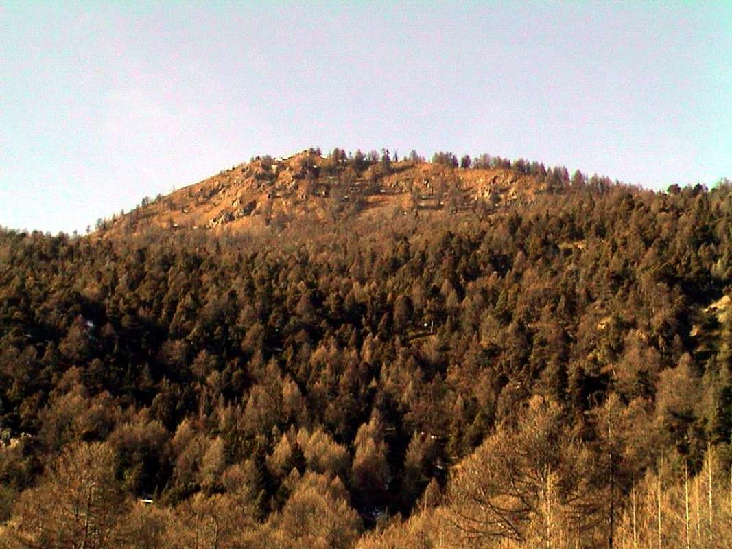
(946m), there is a large forest-rocky promontory above the smaller Vollein Hamlet
(891m). Suspended in a
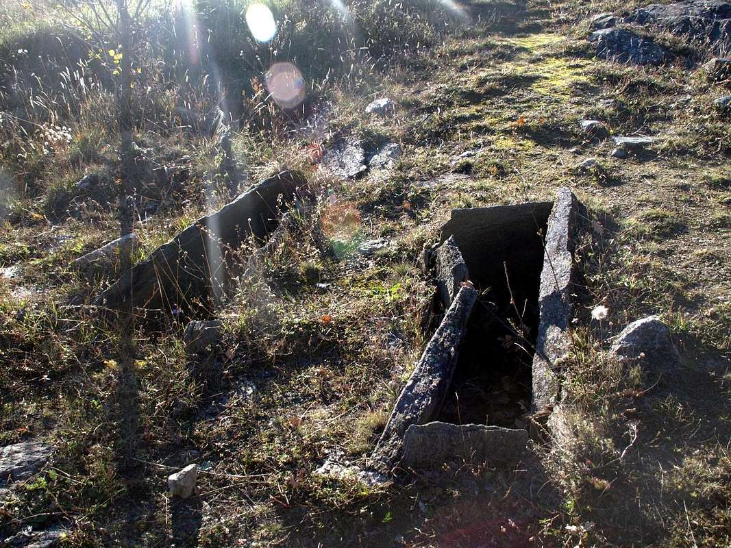
"magic area" above the course of Baltea, which floods with its perpetual shadow, he turns his face to the South looking eternally the favors of the Sun. Here the Salassian's People, amid gigantic walls and boulders in the oddest shapes, buried their dead in coffins with inhumation into a small rectangular stone built by them or simply putting the same in large crevices of the rock and then covering the cave with a large stone burial.
After the discovery of the Year 1968, I brought in the Mid-Seventies the students of my School to visit this area. I returned here on November 18th of 2015.I did not recognize the area and I had to get information from some young climbers who practiced at the entrance of the same on the big rock wall that rises immediately to the North. Time and age play tricks, but I could enjoy the feelings that I not had then received or of which almost nothing remember. The downside is that in a more mature age can be observed a greater number of shades, among which highlighted the contrast of
Death, well symbolized by this ancient burial site, and the thrust of
Life, represented by the voices of joy and love of life of these young men engaged in their challenging although short climbings. I tell of all in the next article, showing this as evident as great contrast.
Logically with proper photo shoot ...
From the rocky promontory of ancient Vollein's Necropolis towards South, by Osw November 2015
Devi scendere ancora più in giù, verso la Valseinte, che a quei tempi non era Santa ed i Salassi l'evitavano perché formata da orrida gola soprastante il Castello del Villair-de-Quart, costruito nel
"recente" 1185. Là abitavan esclusivamente branchi di lupi ed anche qualche orso, mentre in alto roteavano l'aquile, sinistramente cercando le lor prede.
Noi invece stiam parlando di quasi 6.000 anni orsono, cioé di 3.000 e più anni avanti Cristo,
in un'Epoca lunga chiamata e conosciuta da tutti qual Era del Neolitico.
Ma tutto é rimasto uguale ed immutabile, dal calare del sole sui fianchi Meridionali della Croix de Fana, al distendersi dell'ombre sulla Catena delle Rouèses là di fronte e sino alla nuova Alba inondante di luce la grande piramide triangolare dell'Emilius, che allora si chiamava semplicemente
Pen. Un Dio facente sorger il Sole sia per i Vivi che pei Morti.
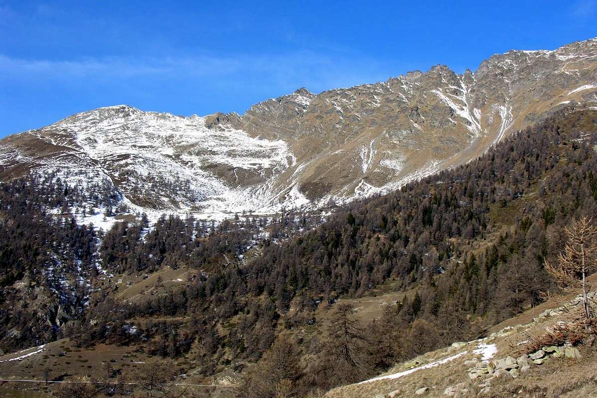
Ma i Salassi, questo Popolo Celtico apparentemente arrivato dalle Terre del Nord, evitavano la Val Sainte, questa inospitale gola rocciosa, ed arrivando tanto dal fondovalle presso la Drance quanto scendendo dalle montagne piegavano verso Oriente, là dove la collina va ad infrangersi sul Torrent de Saint Barthélemy. Lì, appena più in là del Villaggio che oggi si chiama Vignil
(946 m), esiste un grande promontorio boschivo-roccioso che precede il più piccolo di Vollein
(891 m). Sospeso in
"un'area magica" sopra il corso della Dora Baltea, che inonda della sua ombra perenne, rivolge la sua faccia verso Meridione cercando eternamente i favori del Sole, che proviene sbucando tra le due Roises, la Tour de Salé e l'Emilius. Qui, in mezzo a pareti gigantesche ed a massi dalle forme le più bizzarre, seppellivano i loro morti inumando gli stessi in bare di pietra rettangolari costruite da loro stessi, oppure più semplicemente infilando i medesimi in grandi anfratti rocciosi e poi coprendo le fonde caverne con una grande pietra sepolcrale.
Dopo la scoperta del 1968, ho portato a metà degli Anni Settanta gli alunni della mia Scuola a visitare questa area. Qui son ritornato il 18 di Novembre del 2015.Non ho riconosciuto la zona ed ho dovuto prendere informazioni da alcuni giovani arrampicatori che si esercitavano all'ingresso della medesima su quella grande parete rocciosa che si erge subito a Settentrione. Il tempo e l'età giocano brutti scherzi, però ho potuto gustare delle sensazioni che allora non avevo ricevuto o delle quali quasi nulla ricordo.
Il rovescio della medaglia consiste nel fatto che in un'età più matura si possono osservare un maggior numero di sfumature, tra le quali si evidenziava il contrasto della
Morte, bene simbolizzato da questo antico sito sepolcrale, e la spinta della
Vita, evidenziato dalle voci di gioia e dalla voglia di vivere di questi giovanotti impegnati in lor brevi scalate.
Racconterò del tutto nel prossimo nonché maggiormente dettagliato articolo con tanto di tombe sepolcrali, mettendo in mostra questo tanto evidente quanto grande contrasto.
Logicamente con adeguato servizio fotografico ...