Toggle navigation
Mountains
Routes
Images
Trip Reports
Forum
What's New
People
Areas & Ranges
Articles
Trailheads
Canyons
Huts & Campgrounds
Albums
Logistical Centers
Fact Sheets
Lists
Custom Objects
Gear
Plans & Partners
WELCOME TO SUMMITPOST
SIGN IN
REGISTER
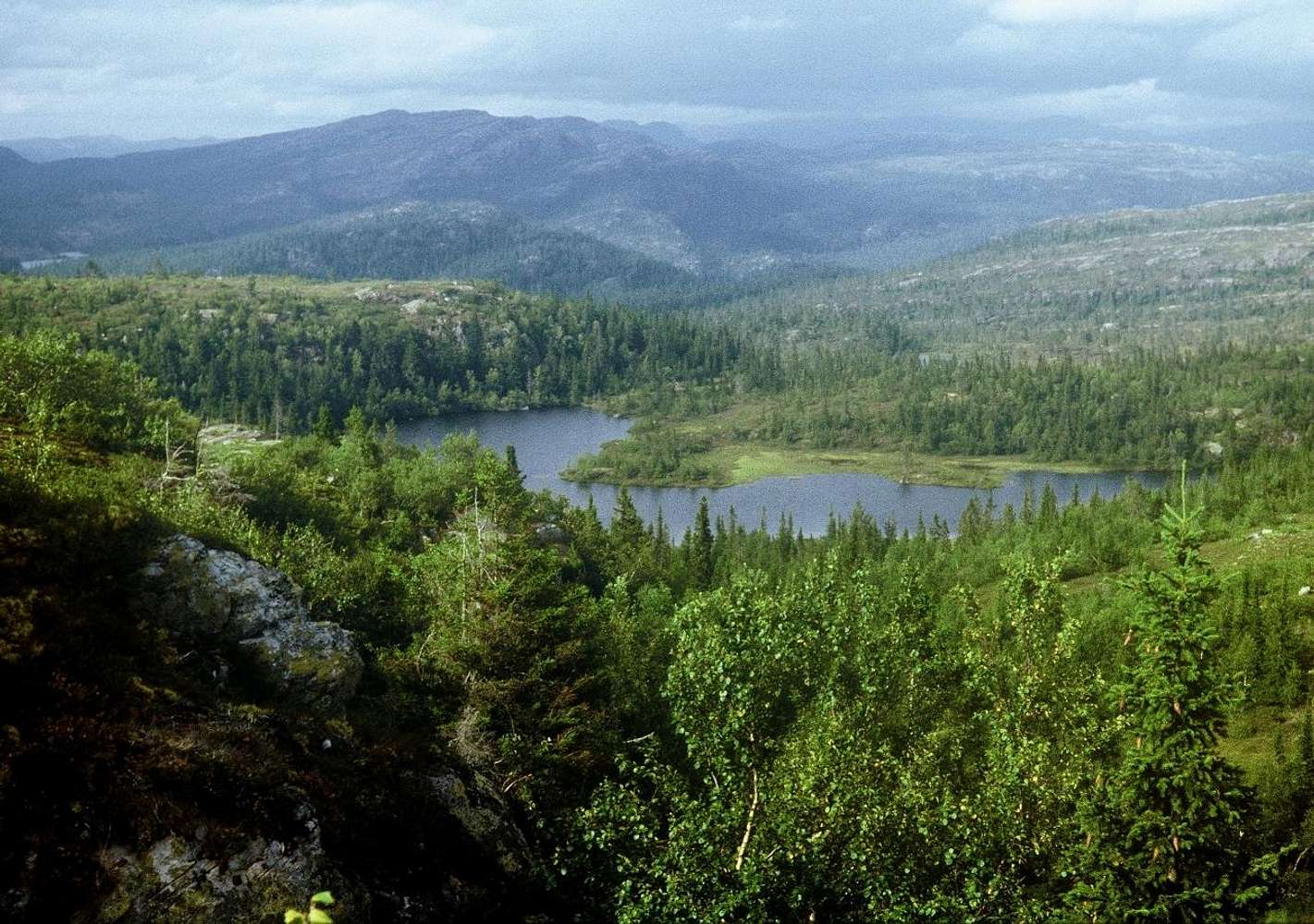
Between Oslo and Hardangervidda
View High-Resolution Image
Between Oslo and Hardangervidda
Some 100 km
WNW of Oslo
(between Eggedal and Norefjorden), where coniferous forest turns into tundra at
about 800m
.
Hardangervidda
« PREV
NEXT »
yatsek
on
Mar 24, 2009 5:45 am
Comments & voting
Other parents
Lat/Lon:
60.13486°N / 9.28740°E
Image Type(s):
Hiking
,
Scenery
Image ID:
500617
1831 Hits
85.87
% Score
21
Votes
Log in to vote
Comments
No comments posted yet.
to post!
Don't have an account?
My Long Road to Jotunheimen
(Album)
You are at
the First
Image
Viewing
#1 of 1
GALLERY
You are at
the Last
Image
yatsek's Image Gallery
« PREV
Viewing
#50 of 1265
GALLERY
NEXT »
My Long Road to Jotunheimen
(Album)
Loading....
×
You need to login in order to vote!
User Name
Password
Remember me
Forgot your password?
Log me out when I close my browser.
Keep me logged in all the time.
sign in as a user
Don't have an account?
Register now for FREE
Rating available
Suggested routes for you
People who climb the same things as you
Comments Available
Create Albums
Register Here


