Toggle navigation
Mountains
Routes
Images
Trip Reports
Forum
What's New
People
Areas & Ranges
Articles
Trailheads
Canyons
Huts & Campgrounds
Albums
Logistical Centers
Fact Sheets
Lists
Custom Objects
Gear
Plans & Partners
WELCOME TO SUMMITPOST
SIGN IN
REGISTER
Lucky Peak
Additional Parents
Image
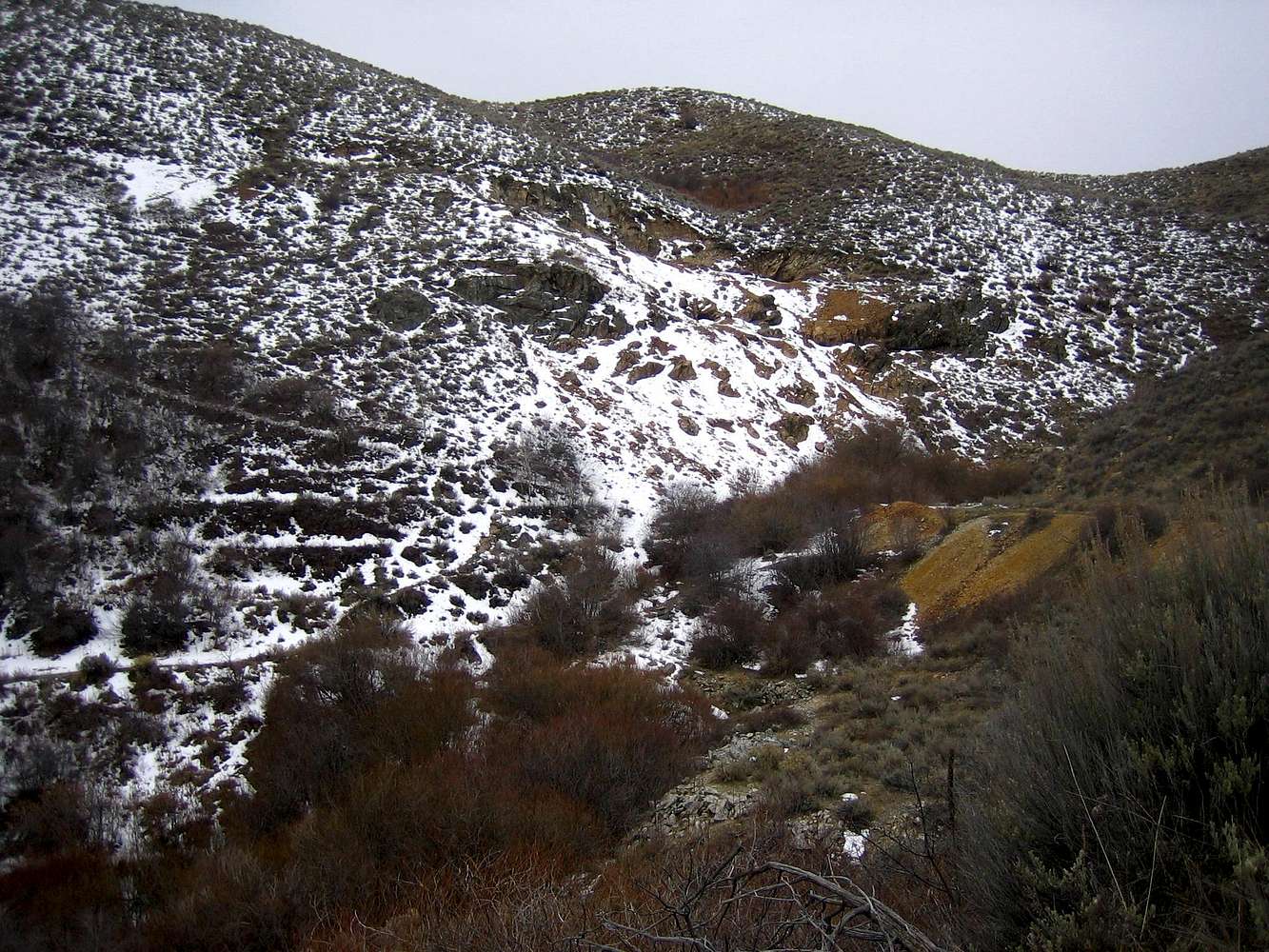
Black Hornet Mine Area
View High-Resolution Image
Black Hornet Mine Area
The trail passes through this area and becomes single track just north of this. Many of the trails in the snow here are from deer and elk.
« PREV
NEXT »
SawtoothSean
on
Mar 10, 2007 4:31 am
Comments & voting
Other parents
Lat/Lon:
43.60520°N / 116.0613°W
Image Type(s):
Hiking
,
Scenery
Image ID:
276635
3597 Hits
71.06
% Score
1
Votes
Log in to vote
Comments
No comments posted yet.
to post!
Don't have an account?
Lucky Peak
(Mountain/Rock)
« PREV
Viewing
#34 of 44
GALLERY
NEXT »
SawtoothSean's Image Gallery
« PREV
Viewing
#1784 of 1864
GALLERY
NEXT »
×
You need to login in order to vote!
User Name
Password
Remember me
Forgot your password?
Log me out when I close my browser.
Keep me logged in all the time.
sign in as a user
Don't have an account?
Register now for FREE
Rating available
Suggested routes for you
People who climb the same things as you
Comments Available
Create Albums
Register Here


