Toggle navigation
Mountains
Routes
Images
Trip Reports
Forum
What's New
People
Areas & Ranges
Articles
Trailheads
Canyons
Huts & Campgrounds
Albums
Logistical Centers
Fact Sheets
Lists
Custom Objects
Gear
Plans & Partners
WELCOME TO SUMMITPOST
SIGN IN
REGISTER
Brooks Range
Additional Parents
Image
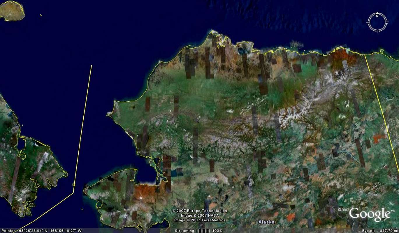
Brooks Range Satellite Photo
View High-Resolution Image
Brooks Range Satellite Photo
Northern Alaska, showing Brooks Range in white across the state from Bering Strait and Chukchi Sea to Canada's Northwest Territories.
« PREV
NEXT »
MtnGuide
on
Apr 10, 2007 7:35 am
Comments & voting
Other parents
Lat/Lon:
66.93006°N / 151.34766°W
Image ID:
284086
3525 Hits
0
% Score
0
Votes
Log in to vote
Comments
No comments posted yet.
to post!
Don't have an account?
Brooks Range
(Area/Range)
« PREV
Viewing
#97 of 98
GALLERY
NEXT »
MtnGuide's Image Gallery
« PREV
Viewing
#124 of 127
GALLERY
NEXT »
×
You need to login in order to vote!
User Name
Password
Remember me
Forgot your password?
Log me out when I close my browser.
Keep me logged in all the time.
sign in as a user
Don't have an account?
Register now for FREE
Rating available
Suggested routes for you
People who climb the same things as you
Comments Available
Create Albums
Register Here


