
|
|
Mountain/Rock |
|---|---|
|
|
37.29331°N / 112.84684°W |
|
|
Kane |
|
|
Hiking |
|
|
Spring, Summer, Fall, Winter |
|
|
Overview
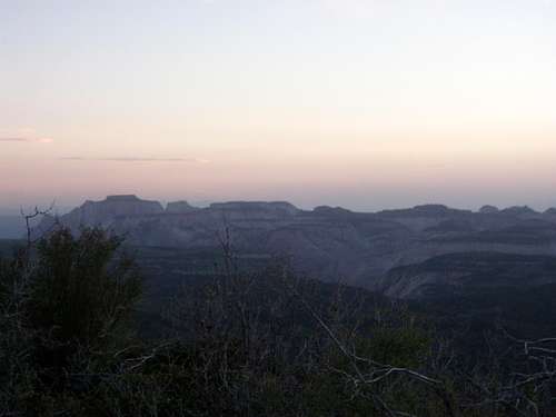
Zion National Park from Clear Creek Mountain
Note: Because there isn't a "designated" area for this peak on Summitpost, I wanted to attach this page to the Zion page so it wouldn't get lost in all of the other random peaks. I have left the elevation off the main part of the page so as not to make people think this is the highest peak inside of Zion National Park. Instead, I will just have it on the body of the page.
Clear Creek Mountain is a flattope 8,123ft peak located on the east side of Zion National Park, just outside of the park. Clear Creek Mountain can be seen from almost anywhere in the area' including most places in Zion. Most people drive right by it on the North Fork Road in order to access canyons such as Englestead Hollow, Birch Hollow, Orderville Canyon, or the Narrows. Clear Creek Mountain makes for an awesome peak to do with some downtime or just for a change of scenery while in the area. Clear Creek's summit is very broad, so the views are spread out acrossed the entire mountain. Views of from this mountain include views of all of Zion National Park, Bryce Canyon National Park, Cedar Breaks National Monument, Brian Head Peak, the White Cliffs around Mt. Carmel and much more! The summit does have a cell tower on top and roads going to the summit, but this peak is worth the hike due to the views of the surrounding area. Aside from the views, the hike up from the North Fork Road is a spectacular one due to the immense amount flora and fauna. Deer are everywhere and there are many stands of quaking aspen along with a few springs.
Hiking Info
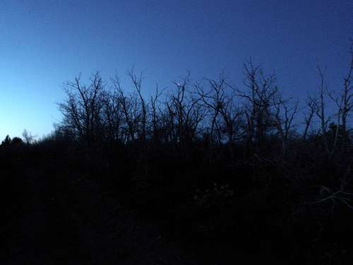
Birch Hollow Drainage- From the Birch Hollow Trailhead, follow the drainage upwards up a creek bed (which flows early in the year and drys out in the fall). The vegetation might be kind of thick at times, but gradually do an ascending traverse along the hikers right side of the creek to avoid the denser vegetation. After about .5 miles, you will reach a road.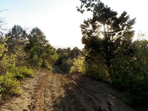
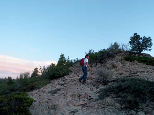
Hiking along the road at sunset
Follow the road left uphill from about .5 miles again through stands of aspen and around a big water tank to a opening and a meadow .
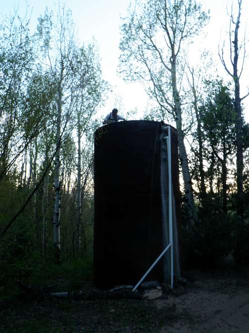
The water tank amidst stands of aspen
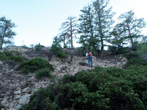
Hiking up the cliff bands..sorry for the out of focus photo
Follow this through mild schwacking until you get to a drainage. Follow it to the east in order to not loose elevation (.36 miles). There are two small forks to this drainage: an east and west fork. Cross of the the saddle at the top of the east fork and then traverse around to the saddle at the top of the west fork.
Following the ridge towards the summit
The vegetation gets kind thick again, but continue south through this to reach another road. (.33 miles). Follow the gradually ascending road towards the summit towers. The true summit is just north of the cell towers. (.75 miles).
The true summit- buried in the manzanita!
Red Tape

The summit cell tower..probably off limits to play on
Camping

Our camp with Clear Creek behind
Getting There

Flowers along the summit ridge with Zion behind
External Links
Weather ConditionsCurrent weather conditions for Clear Creek Mountain as forecasted by NOAA