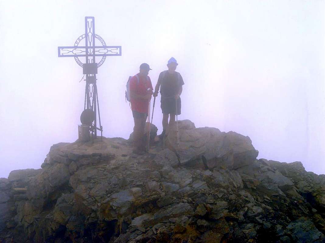
When I think of Bec or Pic Mollère or Mulère me is a sense of unease. I have gone a couple of times, but I never remember exactly where it is. In fact the first time I have wanted to climb it wrong mountain. The Camillo and the Franco said he knew the area well and we went to "hunt" of minerals. Blame the Fog?
. Stuff happens. Even at Mount Paramont I went to climb the Punta Bianca and in the midst of the fog I found myself on top of the first. I realized the incident to forty meters from the Summit, where the ruins of a hospital brought me back to reality, because there was past down in 1969, after climbing the North Wall. Even things happen to the Living. So I went to see this Bec also Pic Mollère, standing there in the bottom of the Walloon of Laris and close to Monte Nero. We crossed and we are going to eat under the North Face of the latter, where it can be seen from another angle. Then we came back again. But every time I think of him it is very difficult to place.
Quando penso al Bec o Pic Mollère oppur Mulère mi vien senso di disagio. L'ho salito un paio di volte, ma non mi ricordo mai esattamente dove sia. Anzi la prima volta che ho voluto andarvici abbiam sbagliato montagna. "Il Camillo ed Il Franco" dicevan che conoscevan bene la zona e siam andati a "caccia" di minerali. Colpa della Nebbia? Può esser, ma invece del Bec Mollère ci siam ritrovati in cima alla Punta di Vòrea. Cose che succedon. Anche al Mont Paramont ero andato per salir la Punta Bianca ed in mezzo alla Nebbia mi sono RItrovato in cima al primo. Mi son reso conto dell'accaduto a quaranta metri dalla Cima, dove un rudere di ricovero m'ha riportato alla realtà, perché lì ero passato nel 1969 in discesa, dopo aver scalato la Parete Nord. Ancor cose che succedono, ai Vivi. Così son andà veder sto Bec o Pic Mollère, che sta là in fondo al Vallone del Larìs e vicino al Monte Nero. Abbiamo traversato e siamo andaTI a maGNAR sotto la Nord di quest'ultimo, donde lo si vede da un'altra angolazione. Poi ci siam ancor tornati. Ma ogni volta che penso a lui mi vien difficile collocarlo. E' cosa molto grave?
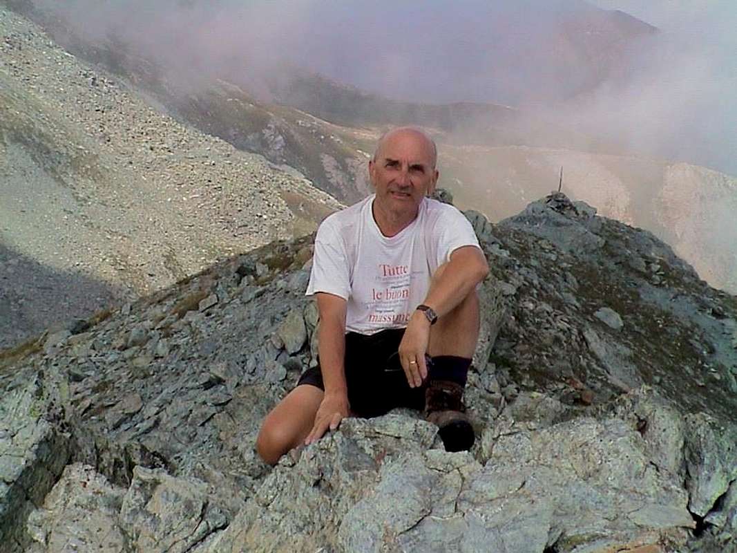
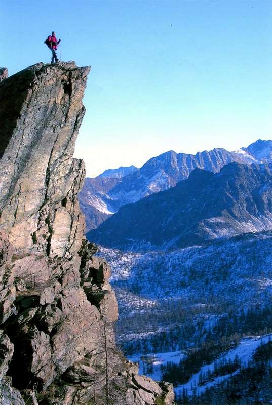
"But are you sure that we are here to Mulère Pic? Do not worry, this is just seen him from the Hill of Eastern Larissa ... ",
by emilius
A Domain above Pont Bozet, a Hamlet hidden by the Devil, where there is never the Sun
Chenessy also Canessi Points
But you 've never been to Pont- Bozet (775m )? Whenever passing with Emilius watched him from the top of road that continues in the Valley Champorcher. And every time arriving the identical observation: but how do you live year-round in a place like this. Nestled between the rocks of a gorge, where they meet the waters of Torrent Ayasse with those of Rio Laborney and then, just lower, with the Torrent of Brenve, clings to the rocks above a Medieval Bridge. A place to Wolves, indeed certainly inhabited by the Devil that hides the Sun to its inhabitants for most of the Winter. On the other side, or "Adrèt" over your head hang down the high cliffs of the Mount Charvatton
(1787m), rising up to 500 meters, where the Fantasy sees Giants ready to hurl gigantic boulders above the poor underlying population. Even the Romans, who spent going up to Champorcher, must have been a moment of fear overcome this "entrance door". If a good day starts in the morning ... Nevertheless always lived here, as evidenced by the parish church of 1500, the little Church of Gond, a national monument in the same period, the big feudal time before the town and the two Medieval Bridges up th'Ayasse, all historically confirmed by the seals of the Savoy kept in the Municipality. People sturdy old-fashioned, accustomed to living with the harshness of mountain life, for which our impressions may appear ridiculous and naive Tourists. To confirm this , the Abbot Pierre Chanoux thought it
"a green dream of peace"; for this reason the other side or "Envers", extending the vast and savage Walloons of Brenve and Manda also, in more remote times, Amanda. If you want to go to the Chenessy Point, starting from Pont Bozet Hamlet, you have to take this last and leaving at the alternative to the East Village Crest
* Ravine of the RATUS, where it seems precipitates were the enemies of the King Temple and Shrine at 1470 meters, where an ancient, pre- Christian stone altar suggests that human sacrifices. As for the Mayans and the Aztecs, many temples many sinners, as that book American "Great Cathedrals Great Sinners". In the end of this World has never changed anything.
continuing towards the South with the mule track through beautiful forests with pines, larchs and firs, reaches five lakes east of the Crest of Chenessy and the eponymous lake
(2383m) at the base of the East Face of the Point of Chenessy going to and from this it joins the Northwest the via that goes up, crossed the dividing ridge, from the Valley of Legna.
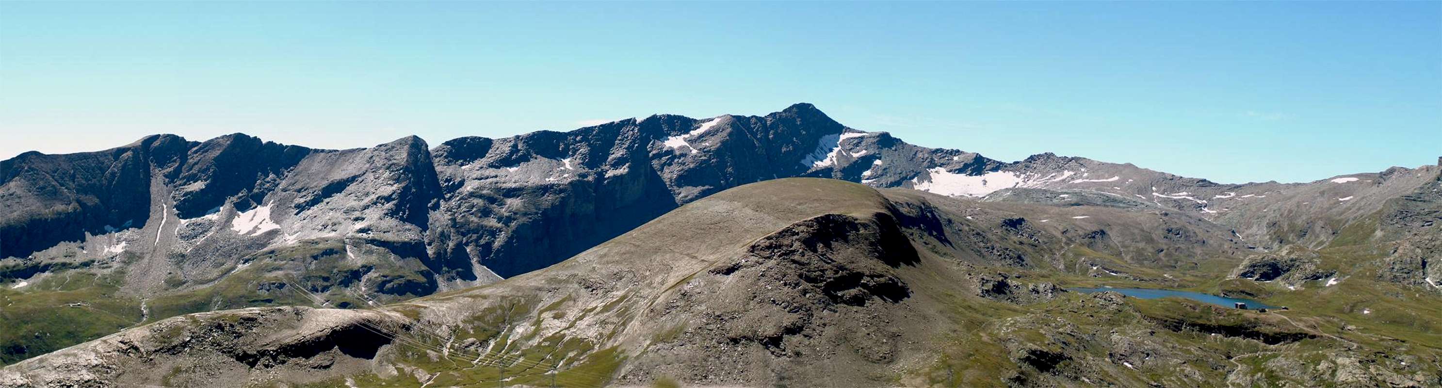
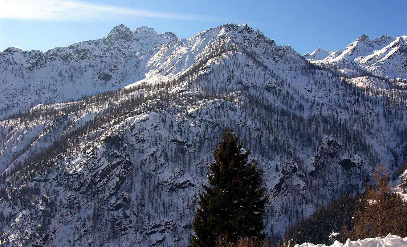
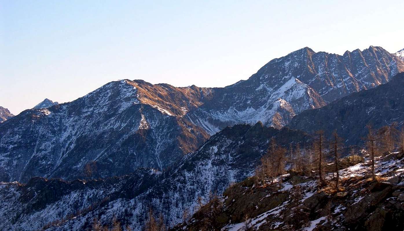
"Towards Graians Southeast: Bec delle Steje or Strie, Cima of Bonze, Chenessy Point and Crest, Fricòla Point, Mount of Corni, Vorèa Tower, Crest & Point, with Northwestern View",
by Osw
Ma voi siete mai stati a Pont-Bozet (775m)? Ogni qualvolta passavam con emilius lo guardavam dall'alto della strada proseguente per la Valle di Champorcher. Ed ogni volta arrivavam identica constatazione: ma come si fa a viver per tutto l'anno in un posto del genere. Incastonato tra le rocce d'una gola, ove si riuniscon l'acque del Torrent Ayasse con quelle del Rio Laborney eppoi, appen più in basso, col Torrent di Brenve, si aggrappa alle rocce sopra un Ponte Medioevale. Un posto da Lupi, anzi sicuramente abitato dal Diavolo che nasconde il Sole ai suoi abitanti per quasi tutto l'Inverno. Dall'altra parte od "Adrèt", sopra la testa pendon alti pareti rocciose del Mont Charvatton (1787 m), alte fino a 500 metri, dove la Fantasia vede Giganti pronti scagliar ciclopici macigni sovra i poveri sottostanti abitanti. Anche per i Romani, che qui passavano per salire in Champorcher, dev'esser stato un momento di paura superare questa "porta di ingresso". Se il buon giorno si vede dal mattino ... Ciononostante qui abitan da sempre, come testimoniano la chiesa parrocchiale del 1500, la Chiesetta del Gond, monumento nazionale dello stesso periodo, la grossa volta feudale prima dell'abitato ed i due ponti Medioevali sull'Ayasse, il tutto storicamente confermato dai sigilli dei Savoia conservati nell'Archivio del Municipio. Gente robusta di stampo antico, abituata a convivere con l'asprezza della vita di montagna, per la quale le nostre impressioni posson parir ridicole e da Turistucoli. A conferma di ciò, l'Abate Pierre Chanoux lo riteneva "un verde sogno di pace"; infatti dall'altra parte od "Envers", s'estendono i vasti e selvaggi Valloni di Brenve e Manda o, in tempi più remoti, Amanda. Se volete andar alla Punta di Chenessy, partendo da Pont Bozet, dovete prendere quest'ultimo e, lasciando ad Oriente il bivio per il Villaggio di Crest
* Orrido del RATUS, dove sembra venivano precipitati i nemici e Santuario di Re Tempio a 1470 metri, dove un antico e pre-cristiano altare in pietra suggerisce di sacrifici umani. Come per i Maya e gli Atzechi, tanti templi tanti peccatori, come per quel libro Americano "Grandi Cattedrali Grandi Peccatori". In fondo a questo Mondo non é mai cambiato nulla.
proseguendo verso Mezzogiorno con la mulattiera che, attraverso splendidi boschi di pini, larici ed abeti, raggiunge i cinque laghi ad Est della Cresta di Chenessy e l'omonimo lago (2383 m), alla base della Faccia Est della punta di Chenessy donde, salendo a Nordovest, ci si ricongiunge alla via che sale, attraversata la cresta spartiacque, dal Vallone della Legna.
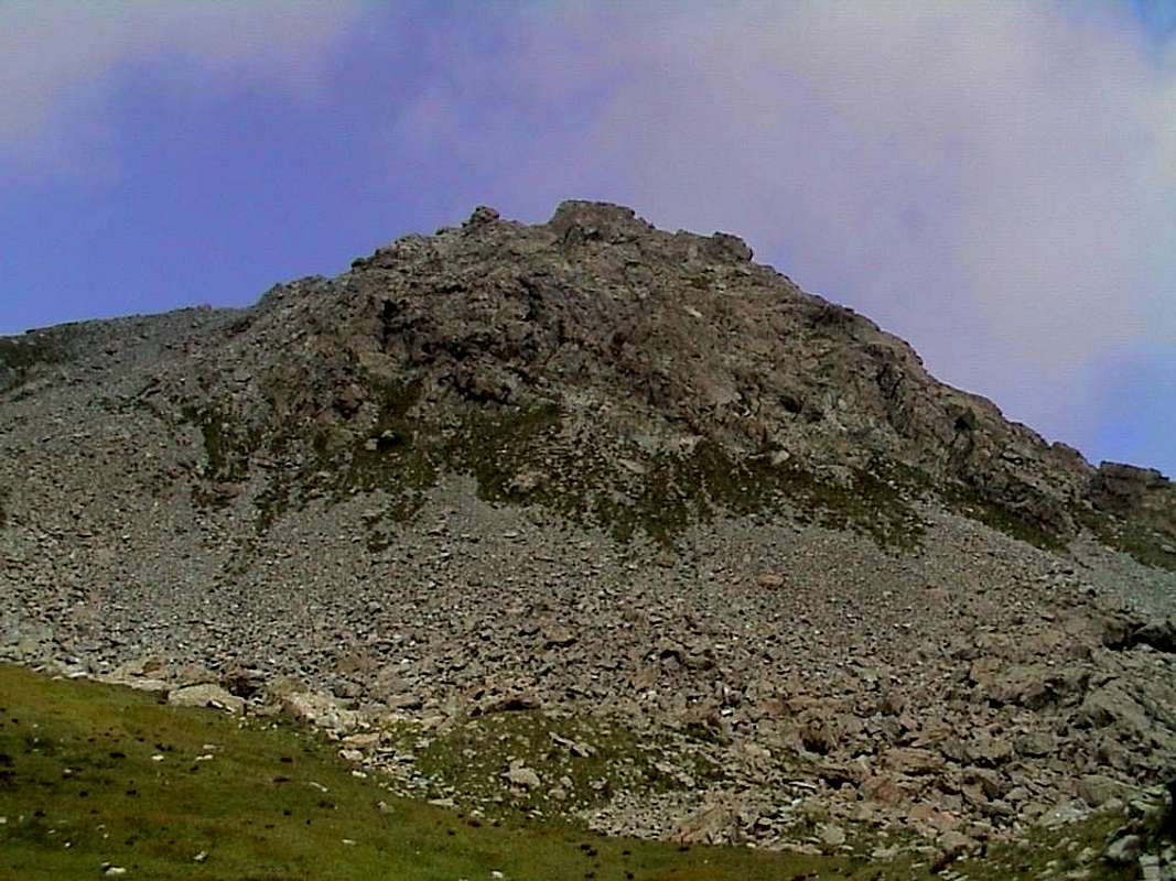
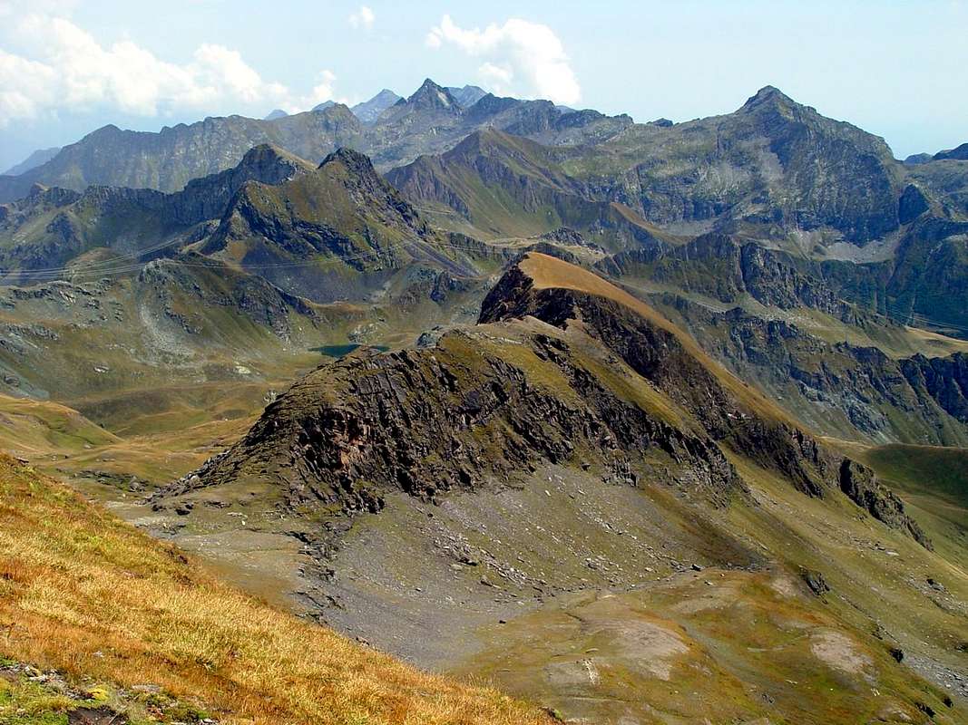
"Towards Graians Southeast: Chenessy, Vòrea and Mulère? Do not worry, thence to South, with North-northwestern View / Chenessy, Vòrea e Mulère? Tranquilli, di là a Sud ...",
by emilius
Retrieved from "Guide to the Western Alps - Vol II. Graians and Pennine" by Giovanni and Luigi Bobba Vaccarone, May 25, 1896; Edit. Turin Section of C.A.I., page 26.
Costa of Canessi m. 2631. This is the climax (trigonometric signal) of the chain attached between the walloons of the Legna and Amanda, an easy slope up from the west side, to its North lies the Cape of M. Digny - m. 2145 - to the North of which passes a path that puts in direct communication Amanda the upper basin , rich in the five lakes, with Champorcher.
"Climbing to Points of Chenessy",
by emilius
Estratto dalla "Guida delle Alpi Occidentali - Vol. II. Graie e Pennine" di Giovanni Bobba e Luigi Vaccarone, 25 Maggio 1896; Edit. Sezione di Torino del C.A.I., pagina 26.
Costa di Canessi m. 2631. E' il punto culminante (segnale trigonometrico) della catena divisoria fra i valloni della Legna e della Amanda; un facile pendio vi sale dal versante ovest; al suo nord trovasi il promontorio del M. Digny - m. 2145 - a nord del quale passa un sentiero che mette in diretta comunicazione il bacino superiore dell'Amanda , ricco di cinque laghi, con Champorcher.
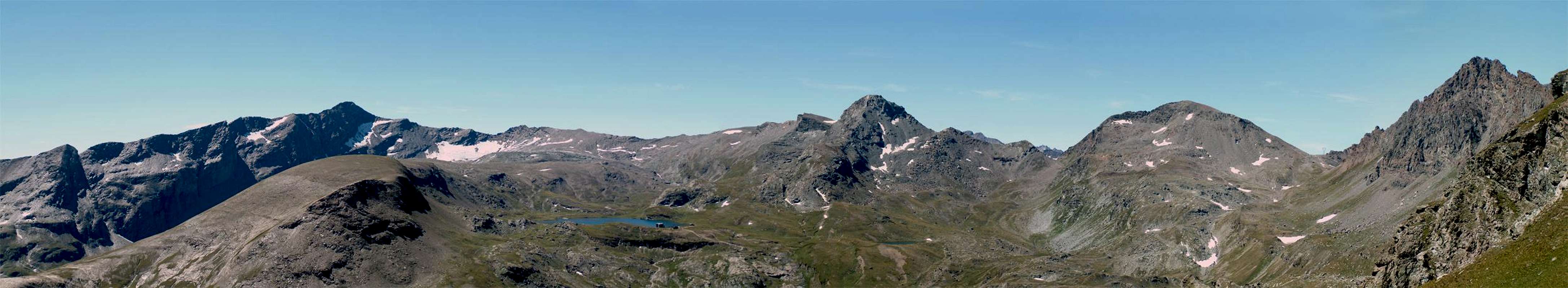
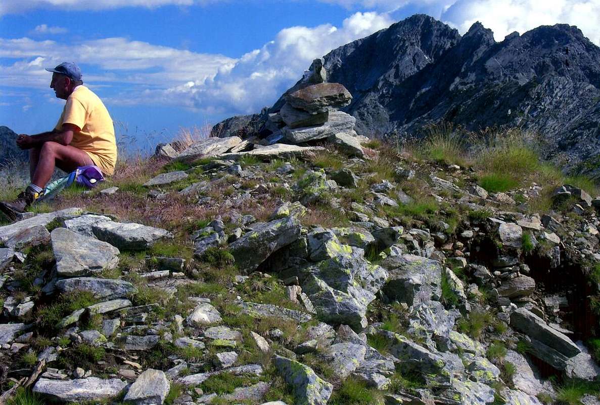
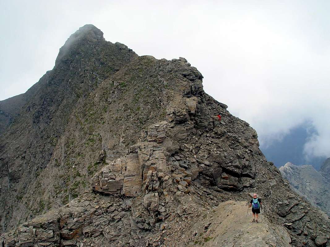
"Chenessy Summit, with Northern View to Mount of Corni",
by emilius
From Western Antesummit Mount of Corni
(2754m) descends parallel to the two preceding a dividing ridge between the Legna Walloon (West) and that of Manda, this last with beautiful Lakes Cornuto (
2450m ; Bivouac of Forestry) and Chenessy (
2383m; perfectly square shape of the base of the East Slope of the Point Chenessy), this partition form Fricolla Pass to the North
(2542m) and immediately after the eponymous peak
(2676m). Beyond the ridge unfolds a series of altitude quotas calls Chenessy Ridge (2665m, the highest) which ends with the Point Chenessy (2630m), the most well known and visited, although not the highest of the ridge itself. More to the North buttress is marked by two collars, the Manda and Detrà
(about 2380, 2365 metres) separated from each other by Quota 2414 meters above the rugged and round Mount Giavin
(2431m). Further and more in Northeast Mount Digny
(2145m) and the Crest of Lut(t)a with Plan Merlé
(1646m) and the Cross of Gual constitute the final of the watershed, above the Villages Frassiney and Trembesere. The Collars above offer the possibility of passing from one to another walloon, but are formed by steep grassy slopes for which I scarcely advisable; should lengthen the course to the North to reach the Mount Giavin, from which a good path descends to hillside to the lakes and the Walloon of the aforementioned Manda.
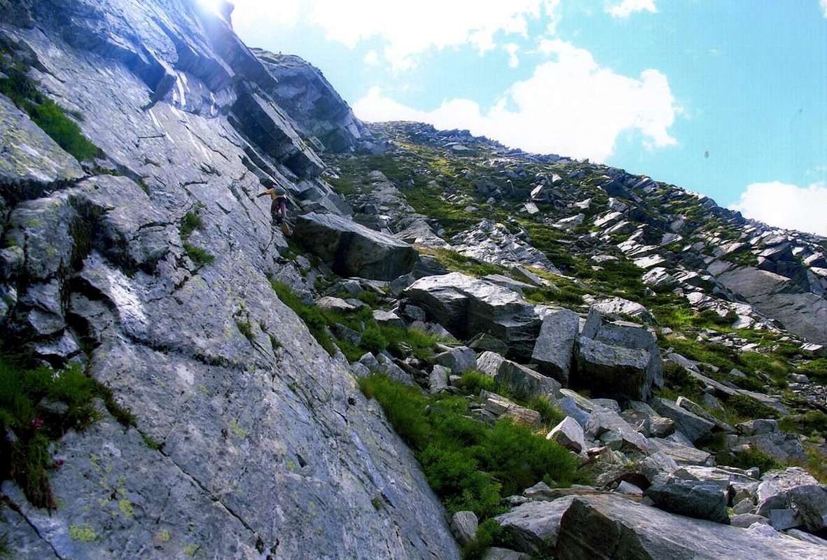
But for those who want to climb the Point Chenessy from the Walloon of Legna, after reaching from St. Anthony Pastures to Creton Alp
(1896m), can be useful to the first of the two, that is, of Manda; reached the same it is better to go through with a short descent below the steep ridge North-northeast and make the ascent on the East Face via a steep grassy slope with easy rocks, below a series of large slabs compact and smooth. In the last part we reach the ridge above which easily leads to the Summit, from where you can admire the Mount Marzo (
2756 m; most famous) and the Mount of the Corni
(2799m), highest peak from the Rosa of Banchi at the end of Graians to Valchiusella, small valley secondary compared to that of Orco-Locana-Soana-Ceresole Valley in Piedmont.
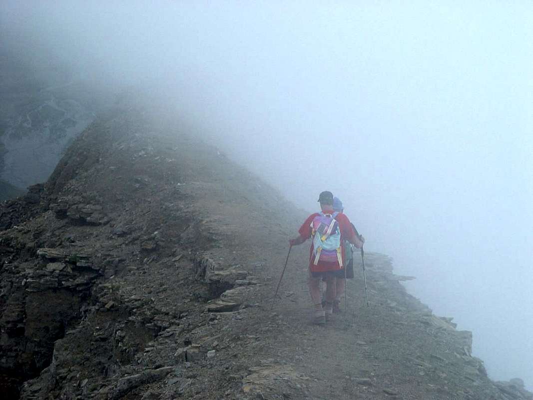
"Giavin & Chenessy Summits, with Northwestern View from Dondena Royal Road",
by emilius
Dall'Antecima Ovest del Monte dei Corni (2754 m) scende parallela alle due prededenti una cresta spartiacque tra il Vallone della Legna (Ovest) e quello della Manda, quest'ultimo coi bei Laghi Cornuto (2450 m; Bivacco della Forestale) e di Chenessy (2383 m; di forma perfettamente quadra alla base del Versante Est della Punta di Chenessy); questo divisorio forma verso Settentrione il Colle della Fricolla (2542 m) e subito dopo l'omonima punta (2676 m). Oltre la cresta dispiega una serie di quote complessivamente chiamate Cresta di Chenessy (2665 m, la più elevata) terminante con la Punta di Chenessy (2630 m), la più conosciuta e frequentata, anche se non la più alta della cresta medesima. Maggiormente a Nord il contrafforte é segnato da due colletti, della Manda e Detrà (2380, 2365 metri circa) separati tra di loro dalla Quota 2414 metri e precedenti il robusto e tondeggiante Mont Giavin (2431 m). Più in là e più a Nordest il Mont Digny (2145 m) e la Cresta di Lut(t)a con Pian Merlé (1646 m) e la Croce di Gual costituiscono il termine ultimo dello spartiacque, sopra i Villaggi di Frassiney e Trembesere. I Colli di cui sopra offrono la possibilità di passaggio dall'uno all'altro vallone, ma son formati da ripidi pendii erbosi per la qual cosa scarsamente consigliabili; conviene allungare il percorso a Nord raggiungendo il Mont Giavin, dal quale un buon sentiero scende a mezzacosta verso i laghi predetti ed il Vallone della Manda. Ma per chi vuol salire la Punta di Chenessy dal Vallone della Legna, dopo aver raggiunto dagli Alpeggi di Sant'Antonio il Creton (1896 m), può essere utile il primo dei due, cioè della Manda; raggiunto il medesimo, é meglio attraversare con una breve discesa al di sotto della ripida Cresta Nord-nordest ed effettuare la salita sul Versante Est tramite un ripido pendio erboso con facili rocce, sottostante una serie di grandi lastronate compatte e levigate. Nell'ultimo tratto si raggiunge la cresta suddetta facilmente conducente alla Sommità, dalla quale si ammirano il Monte Marzo (2756 m; più famoso) ed il Monte dei Corni (2799 m), cima più elevata dalla Rosa dei Banchi al termine delle Alpi Graie insino alla Valchiusella, piccola valle piemontese secondaria rispetto a quella di Orco-Locana-Soana-Ceresole.
This is the Top of the Battle: Leonidas fought here, Hannibal, the Partisans and Martin Luther King, Obama's wait ...
Battle for
THE Liberty
But what Battle has been carried out in the vicinity of this top? We do not know and no one says. Even Bobba and Vaccarone in their
"Guide to the Western Alps", of 1896.
And then it is really arduous & difficult thing to find out. Even Mario Aldrovandi in his
"Guide of the Aosta Valley", 1930/32. A battle between the Romans and the ancient Salassians? Uhhh, difficult! Among the Phalanges Acheas by Leonidas and the Persians? No, this never came. Hannibal passing the Alps with Elephants? Not even. Between Austrian and Napoleonic troops. Neither, Napoleon, after the Fortress of Bard, thought only to expand its Army in the Italian Campaign. A joke to hunt bison with Buffalo Bill? Not at all, because these parts are just cows. The Partisans in World War II against the Nazis? The Red Army or the Red Mao Tse Tung? Ever seen a Chinese, in those times, these parts Khrushchev and Kennedy was too busy with other small and insignificant chores. Nor is it ever Marthin Luther King to act as a mediator, as well as Ghandi, the Pope and even Obama.
And then how to get to the Historical Truth of this "Historic Battle", so important to give the name of a Mountain?
It can be. Easier to a clash between the inhabitants of the pastures nearby valleys. As in Valpelline, where there is a Plan of the Battle and the Arête a Bonnemort (Ridge of the Good, ie Right, Death) due to the clashes between farms "Valpelleneins" and the inhabitants of the Valais, which passed the border in search of new pastures for livestock.
"Ma dove si trova sta Cima della Battaglia? Giù per là vers'al Piemùnt ... / But where is this Top of Battle? Thence down to the Piedmont ... ",
by emilius
Ma qual Battaglia s'é svolta nei pressi di questa cima? Non lo sappiam e nessun lo dice. Neppur Bobba e Vaccarone nella loro "Guida delle Alpi Occidentali", del 1896. Ed allora é veramente cosa ardua e dura il scoprirlo. Neppur Mario Aldrovandi nella sua "Guida della Valle di Aosta", 1930/32. Una battaglia tra Romani e gli antichi Salassi? Uhhh, difficile! Tra le Achee Falangi di Leonidas e l'Armata di Persia? No, qui non risultan esser mai giunte. Annibale attraversando le Alpi cogli Elefanti? Neppure. Tra truppe Austriache e Napoleoniche. No, Napoleone, superata la Fortezza di Bard, pensava solo ad espander il suo Esercito nella Campagna d'Italia. Una battuta di caccia al bisonte di Bufalo Bill? Niente affatto, da queste parti trovi solo mucche. I Partigiani nella Seconda Guerra Mondiale contro i Nazisti? Può essere. L'Armata Rossa od i Rossi di Mao Tse Tung? Mai visto un Cinese, in quei tempi, da queste parti e Kruscev era troppo impegnato con Kennedy in altre faccenduole. Neppur s'é mai visto Marthin Luther King a far da mediatore, così come Ghandi, il Papa ed anche Obama. Ed allora come arrivar alla Verità Storica su questa Memorabile Battaglia, sì importante da dar nome ad una Montagna?
Più facile uno scontro per i pascoli tra gli abitanti delle valli vicine. Come in Valpelline, ove esiste un Piano della Battaglia ed una Arête de la Bonnemort (Cresta della Buona, cioé Giusta, Morte) causa gli scontri per i poderi tra i "Valpelleneins" e gli abitanti del Vallese, transitanti il confine alla ricerca di nuovi pascoli per il bestiame.
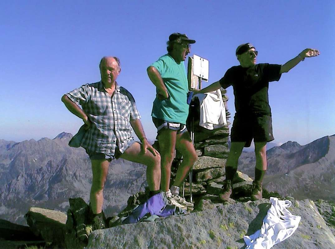
A HELLO to ALL from the Graian Alps of the Southeast!
CIAO-HI to ALL & to HELL!
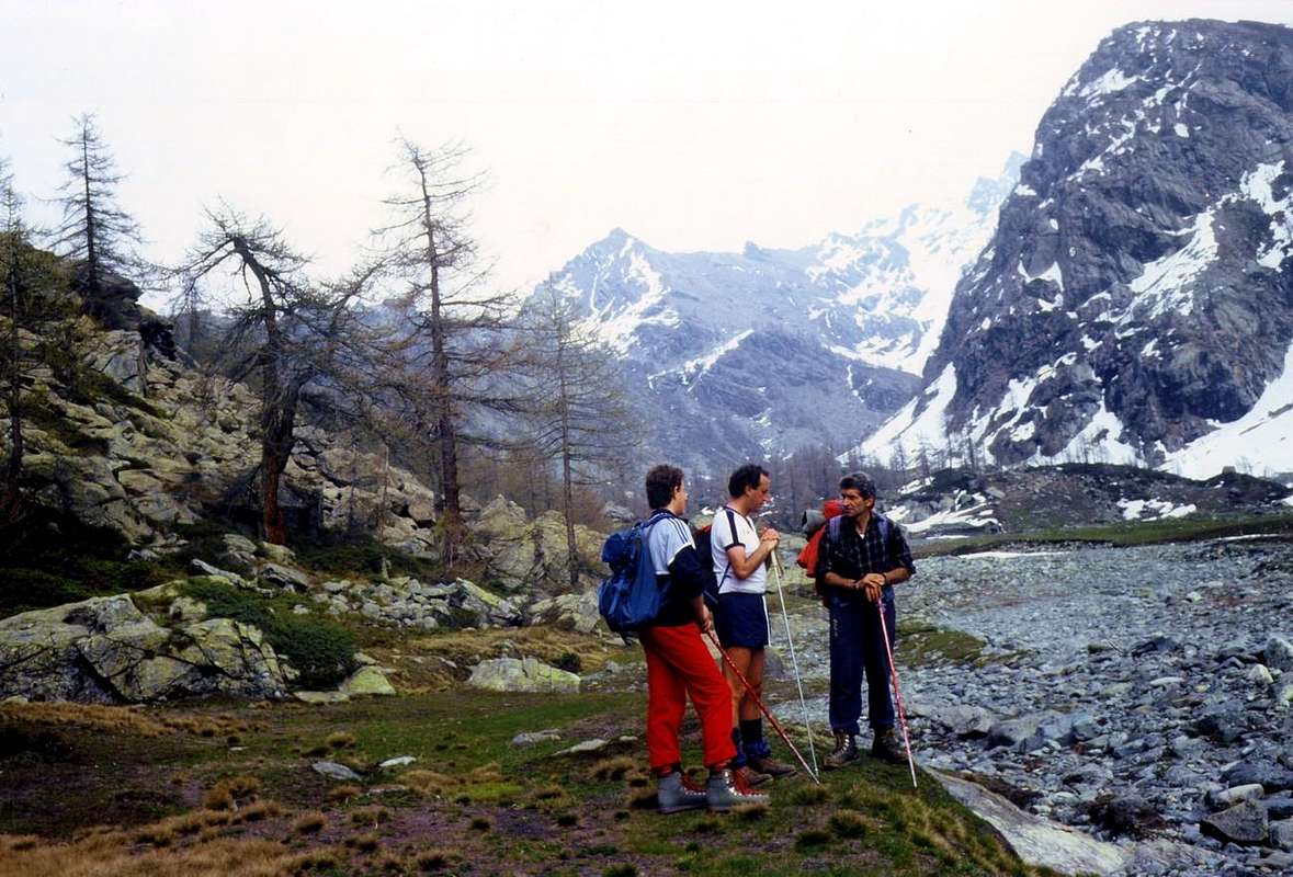
"Arriving ThunderStorm on Rosa dei Banchi Northern Ridge",
by emilius
Neat Spot Reply
Voted 9/10
What a nice spot to look out over these mountains.
Re: Neat Spot Reply | Edit | Delete
Hasn't voted
Yes, but not when it comes the lightning Storm. Better to stay down at the Bar
HELLO & THANKS
osw
"Meglio darsi 'na mossa che qui arriva l'Inferno! / Better hurry because here comes the Hell!",
by emilius
Dear Boys we joked and had fun, but now it is better to sneak away quickly run for it, because it begins to get a
Big Thunderstorm and already the Rocks fry!
"Let's go to Summit, but then we run like Devil! / Svelti in Cima, prima che venga fuori il Signor Diavolo! ",
by emilius
Cari Ragazzi abbiam scherzato e ci siam divertiti, ma adesso é meglio tagliar la corda, velocemente ed a gambe levate! Perché qua comincia ad arrivar Gran Temporale e già friggon le Rocce!
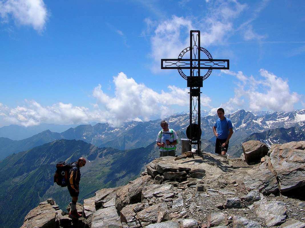
"Defying the Lightning, can say that we arrived at the Peak! Hopefully we will not go to sink to the bottom!!! / Dal Picco! Non é che finiam colar a picco!!!",
by emilius
"This Little Devil that flashes me behind my back I do not like at all ... / Sto Diavùlett lampeggiant andria non me piàs per gnènt ...",
by emilius

 4324 Hits
 77.48% Score
 8 Votes