
Central Arizona's Highline Trail provides 51
miles of spectacular views. This historic trail
was established in the late 1800s to link various
homesteads and ranches under the Mogollon Rim,
a geographical landform that deliniates the southernmost edge of the Colorado Plateau. Western writer Zane Grey built a cabin here in the 1920s. It was designated a National Recreation Trail in 1979.
Trails from the Highline to the top of the Rim
are generally steep, rocky and rugged, with
elevations ranging from 5,000 to 8,000 feet. The
Dude Fire of 1990 burned over 21 miles of the
Highline and associated spur trails from
Washington Park Trailhead to Hatchery Trailhead.
There are 14 dependable water sources along the
51-mile length of the Highline Trail, listed from
west to east:
Red Rock Spring, Pine Creek, Webber Creek, Bray
Creek, Chase Creek, East Verde River, Dude
Creek, Bonita Creek, Perley Creek, Ellison
Creek, Tonto Creek, Dick Williams Creek, Horton
Spring and Christopher Creek.
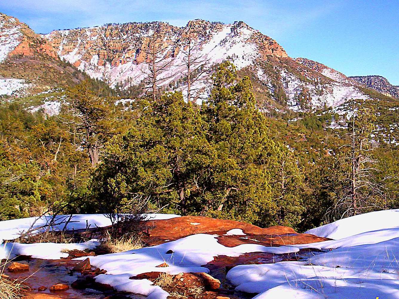
Photo was taken 1/2 mile west of the Hatchery
Trailhead. The peak in the distance is Beaver
Ridge Highpoint. The snow was rapidly melting,
forming rivlets over the rocky landscape.
(February 11, 2008)


