


-
 7012 Hits
-
 76.47% Score
-
 7 Votes
|
|
Mountain/Rock |
|---|---|
|
|
48.63665°N / 121.15394°W |
|
|
Skagit |
|
|
Hiking, Mountaineering, Scrambling, Skiing |
|
|
Spring, Summer, Fall |
|
|
8152 ft / 2485 m |
|
|
Overview

Often mislabeled as "The Needle" on USGS maps, The Horseman's Pack, with 472 feet of prominence is distinctly the second highest point on the Snowfield ice cap. Its close neighbor, The Horseman, is a technical spire rated at 5.7 and first climbed by John Roper in 1982. The rock is a dark grey crumbly orthogneiss from the Triassic Period (200-250 million years ago) and has the nick-name Needle Gneiss (probably adding further to the naming confusion).
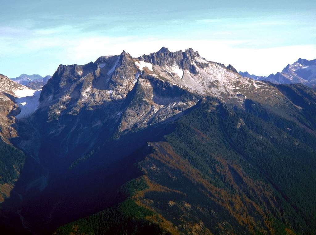
West Face of The Needle and Horsemans Pack
The base of this peak from the Neve Glacier is quite loose and parties looking to summit would do well to have a few yards of separation between each climber for safety as boulders will easily dislodge from undercut ledges. The final gully is very steep class 3 with plenty of air and very solid and ledgy holds. The views are filled with glaciers, spires and cascades making this a must climb for anyone touring the Snowfield ice cap or a nice addition to Snowfield Peak.
Trailhead directions
NOAA point Weather Forecast
Northwest Avalanche Center
North Cascades National Park website
WSDOT North Cascades Hwy 20
http://www.nps.gov/noca/planyourvisit/visitorcenters.htm
Trip Reports:
Fletcher Jordan Trip Report from 08-07-2014
Youtube video by gimpilator of a Snowfield Peak trip that included Horsemans Pack:
Getting There
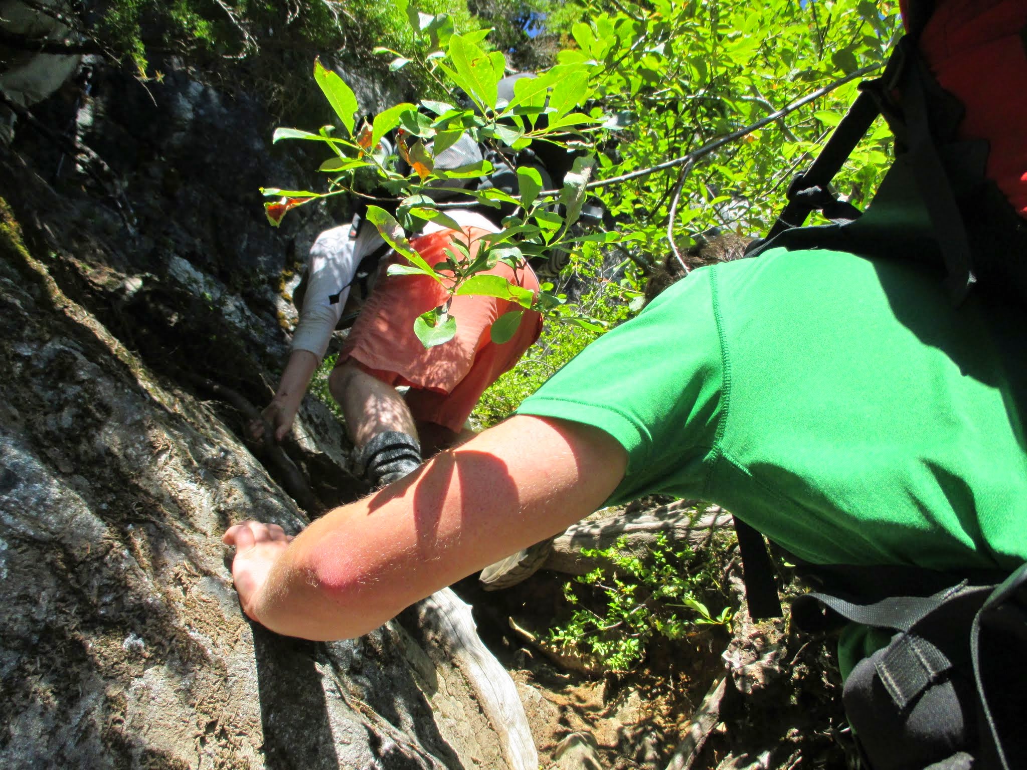
From Marblemount, head East on Highway 20 to milepost 126.8 where a small sign on the right designates Pyramid Lake Trail with a gravel pullout on the opposite side of the road (West). The trail meanders 2.1 relatively easy miles to the lake, which is a mecca for millions of nasty bugs but fortunately there is no camping allowed. The climbers trail begins going west then south around the lake and becomes quite burly in sections. If you're not up to the task, you'll know very early.
 Pyramid Lake. Taken by Fletcher Jordan 08-05-2014 | 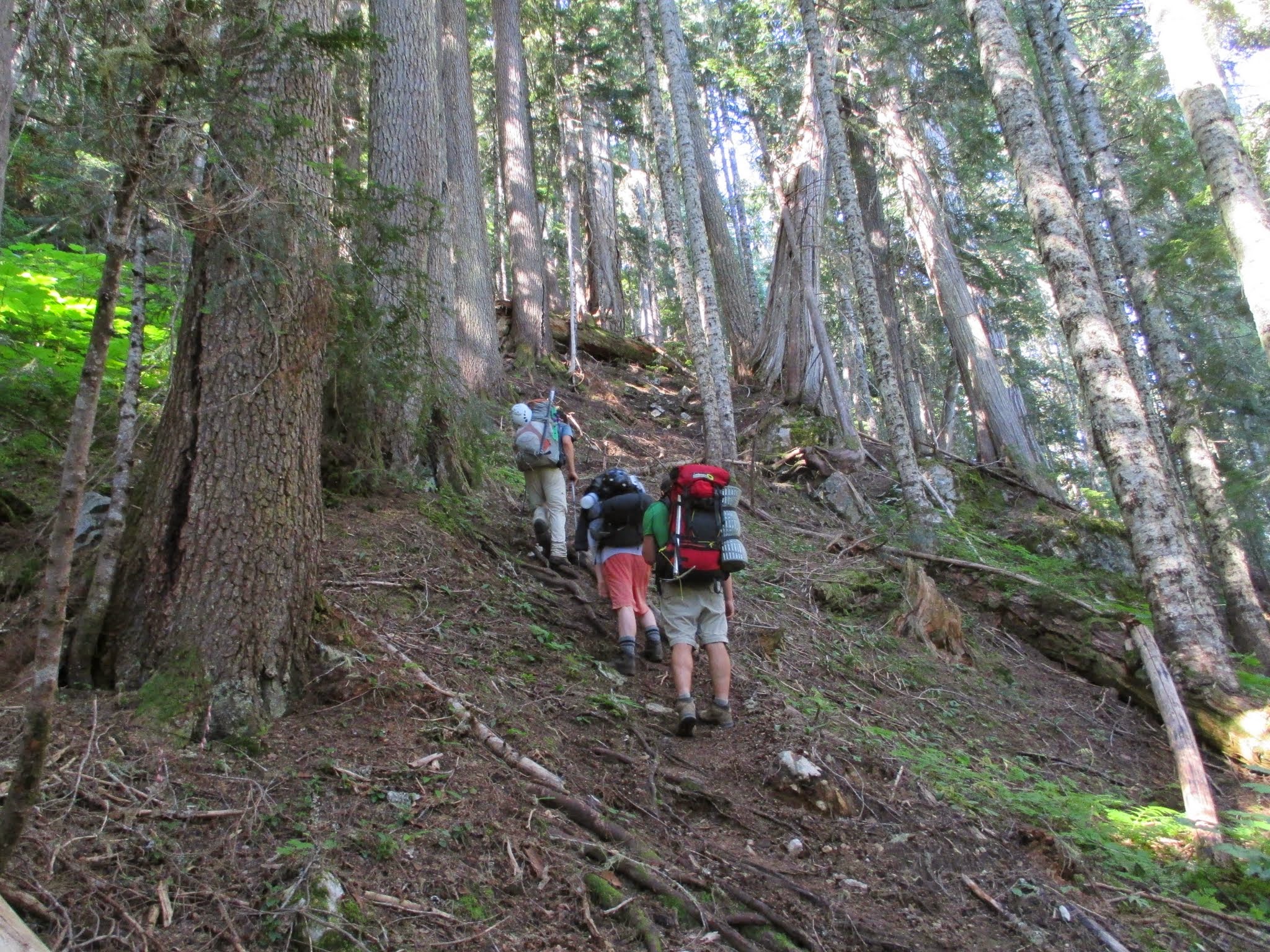 Climbers Trail taken by Fletcher Jordan 08-05-2014 |
Route
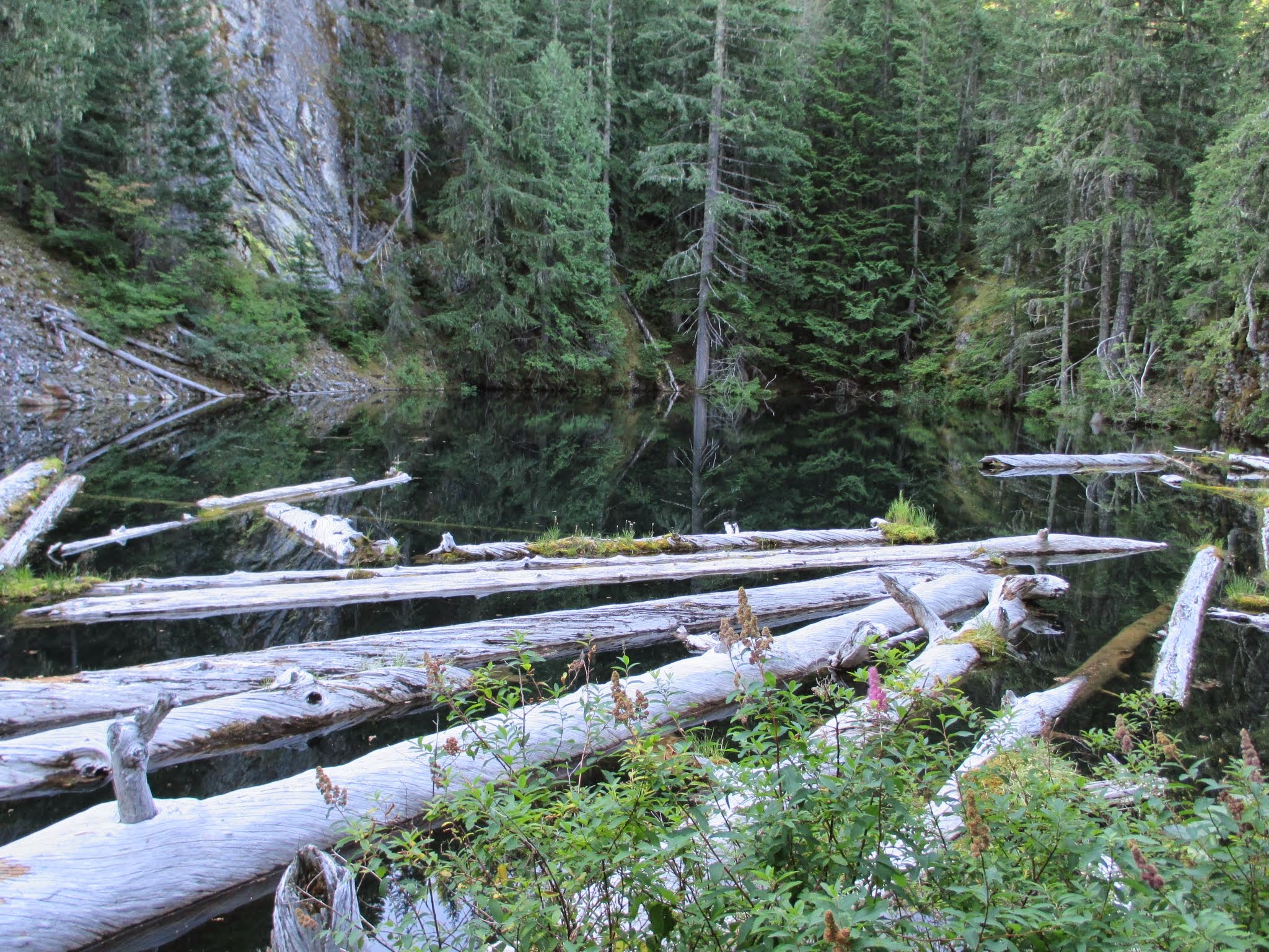
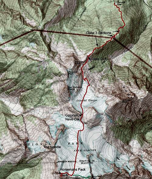 Horsemans Pack Route | From Pyramid Lake, look right across logs over an outlet brook for the climber's trail which goes counter clock-wise around the lake (West then South) following broken logs over boulders and gains a ridge which shoots very steeply and roughly up to many marked points with small tarns below them. There are sections, I kid you not, that are class 3 on the trail in the woods and may require facing in on the way back if your pack is heavy. Blueberry and Huckleberry are abundant. Views improve at about 4,000' as the route becomes more open. The trail becomes faint but is marked with cairns until a tarn at 5,400' where it turns sharply left leaving the ridge and dropping a couple hundred feet down exposed but vegetated ledges to a gully that takes you to the Colonial Creek drainage. Work your way up loose boulders or snow and traverse the base of Pyramid Peak to the toe of the Colonial Glacier where a new lake is forming. If open water is present, go left (North East) around the lake via slabs and find an easy ramp to the glacier's new terminus. Rope up here and navigate South up the Colonial Glacier negotiating crevasses as necessary until you reach the col between Colonial Glacier and Neve Glacier. This is an excellent place to set up camp if spending more than a day or going for multiple peaks. From this point, drop about 600' to the Neve Glacier and negotiate around more serious crevasses in later season gaining over 1000' to the upper reaches of the Neve Glacier. Snowfield is a mere half mile away to the West and is probably your main objective if coming all this ways. Unrope at the western edge of the North face of the Horseman's Pack at exposed rock where the glacier pulls away. From here, if you weren't wearing a helmet before, it might be a good idea now. If you have partners, spread out to avoid being crushed by falling rocks that will be kicked loose. Scramble easy but very loose boulders and scree around to a notch on the East shoulder and traverse dirt or moderate slopes to the base of the South-East face where an obvious but steep class 3 gully takes you to the summit. The moves will be airy but very solid and a big relief from the tumbling stuff on the opposite side of the peak. The final move to the summit rock has lots of exposure but it's not difficult. If you find yourself on 5th class then you are off route. |
 Class 3 on trail. taken by Fletcher Jordan | 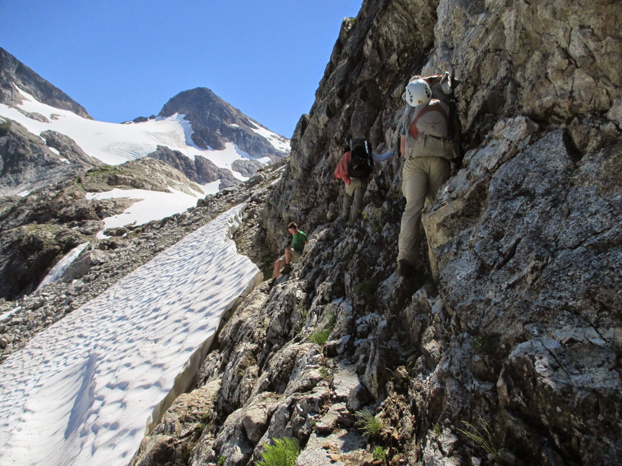 crossing above moat. taken by Fletcher Jordan | 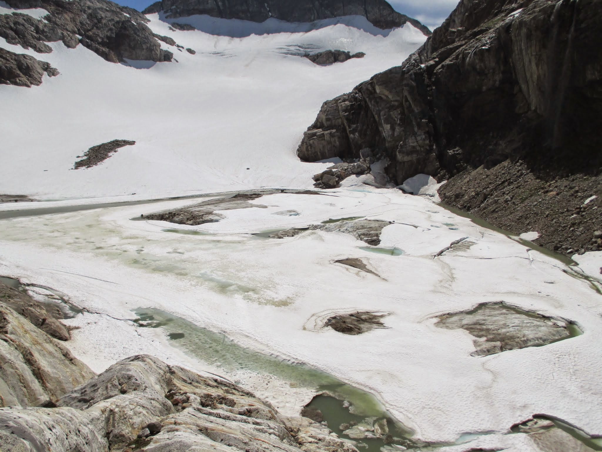 New lake at Colonial terminus. Fletcher Jordan | 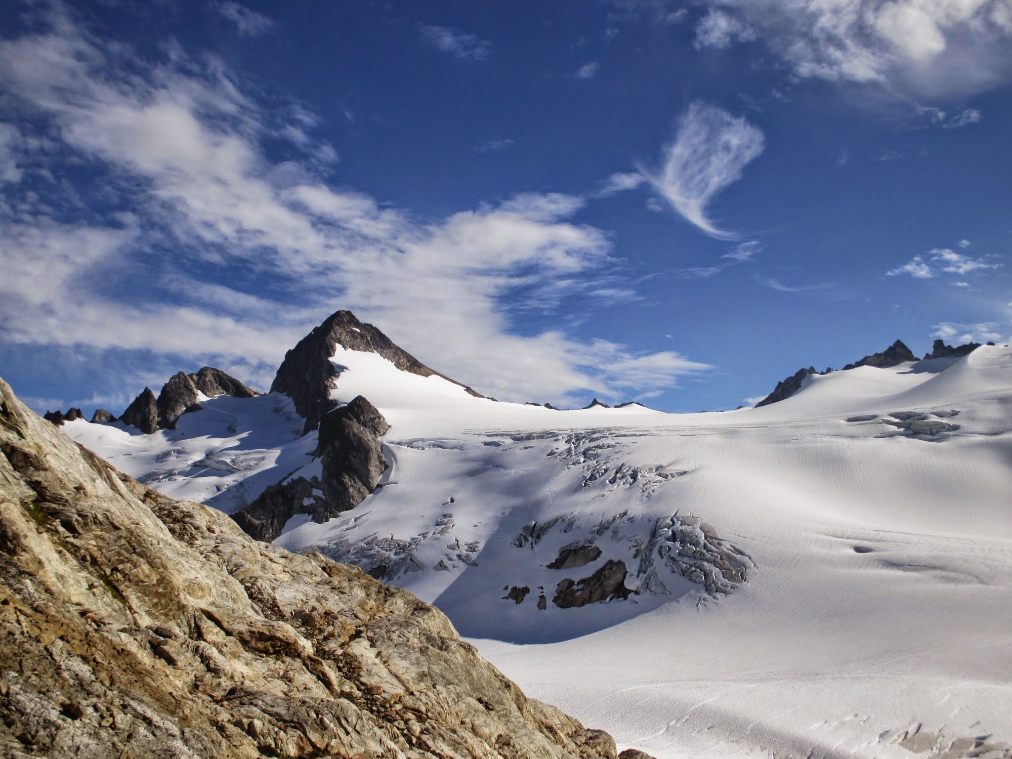 wow. Snowfield from camp. taken by Fletcher Jordan | 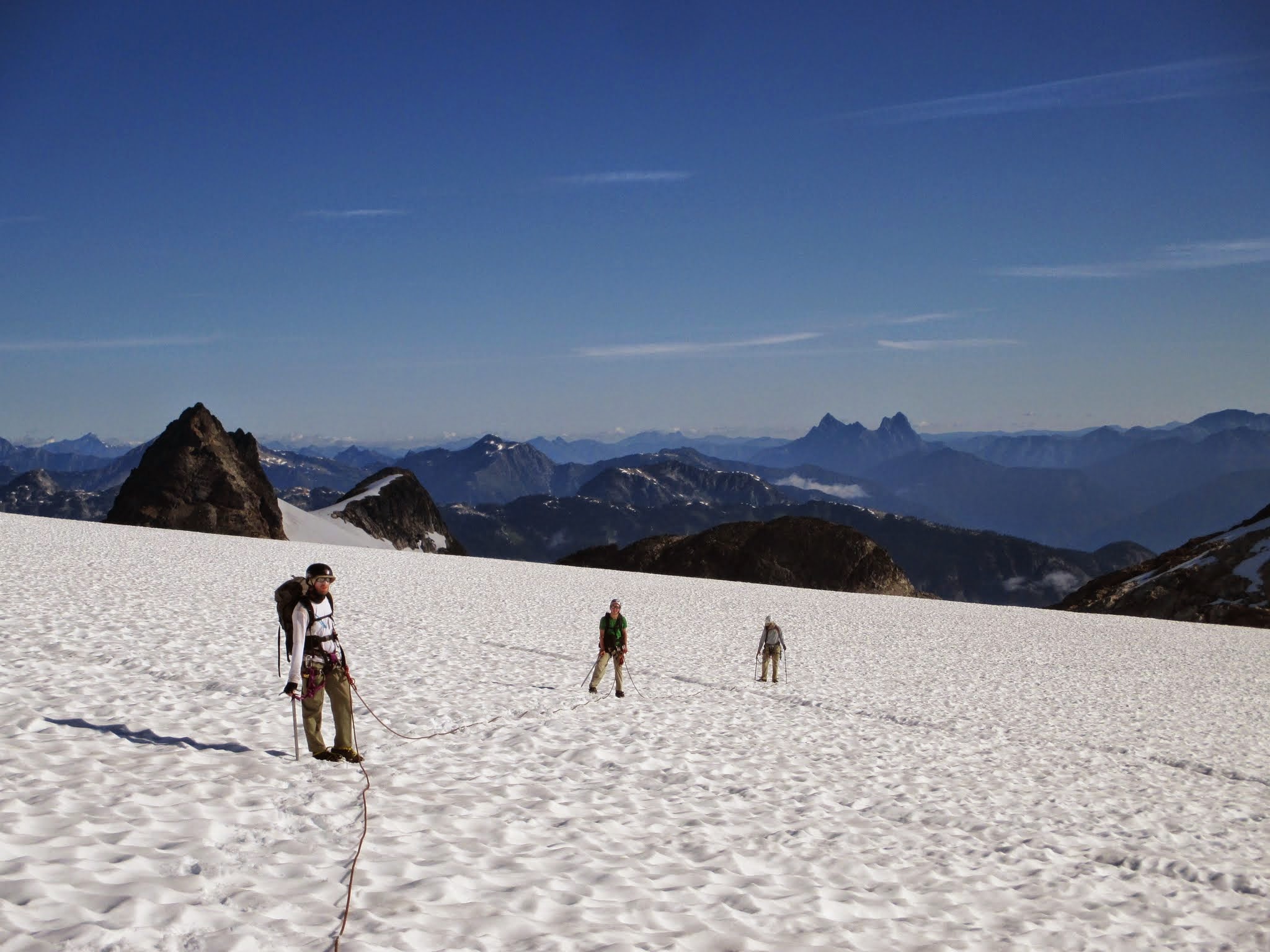 looking North from upper Neve. Fletcher Jordan |
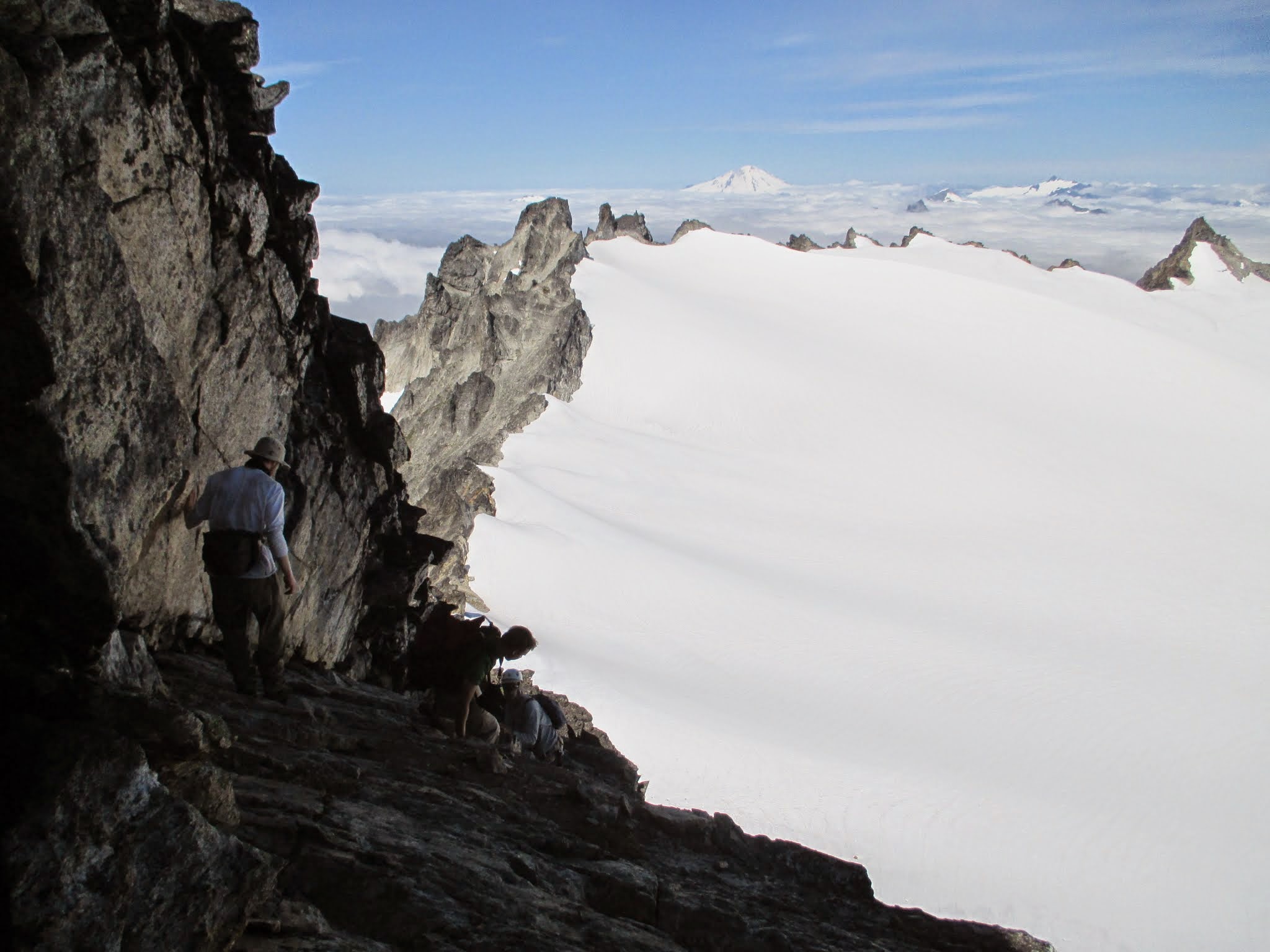 West from Snowfield. by Fletcher Jordan | 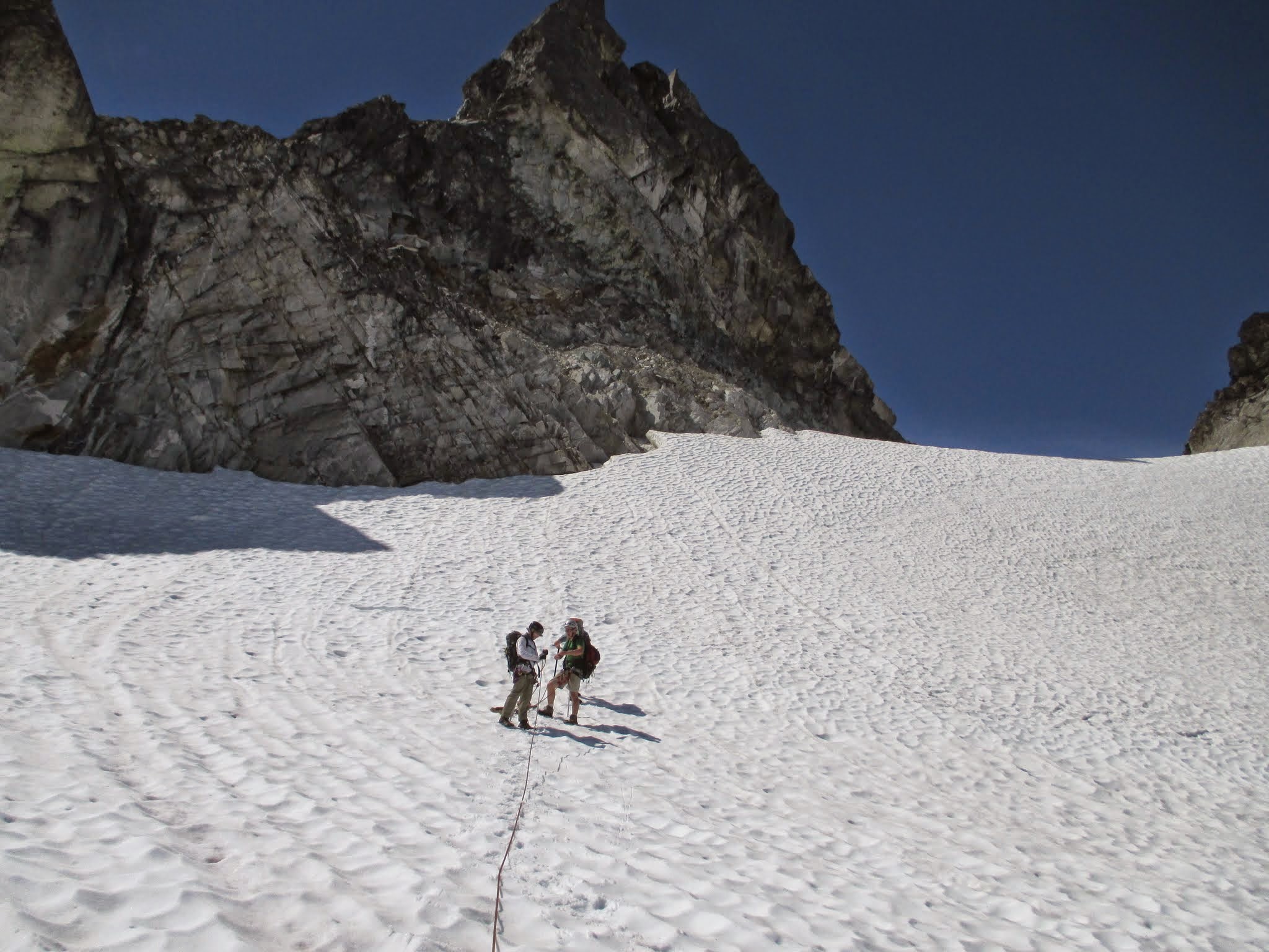 North face Horsemans Pack. taken by Fletcher Jordan | 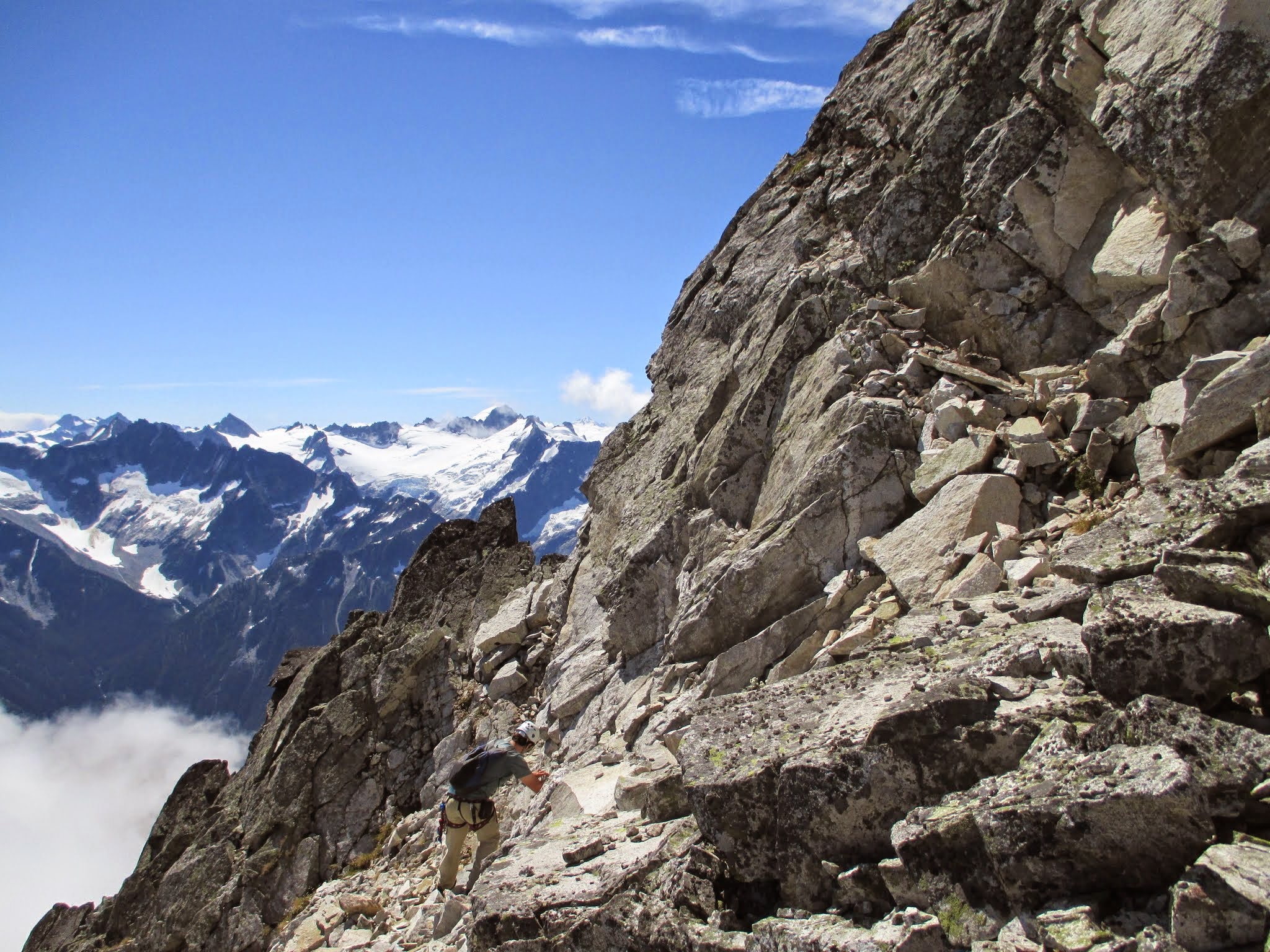 Ledges to south route. Taken by Fletcher Jordan | 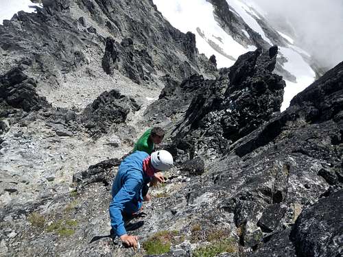 Horsemans Scramble by gimpilator | 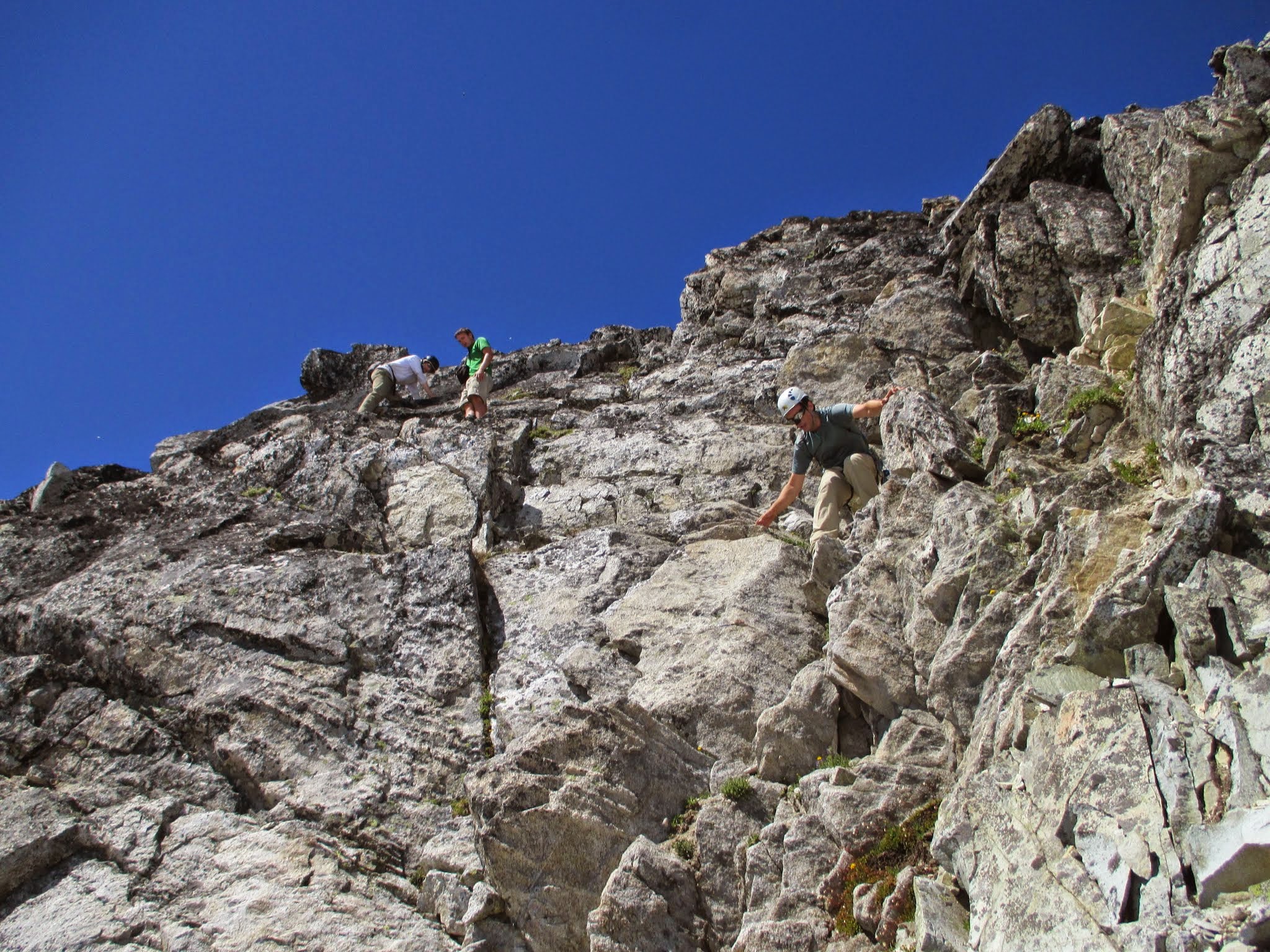 downclimbing steep class 3. by Fletcher Jordan |
Red Tape
| This peak sits wholly within North Cascades National Park and Stephen Mather Wilderness which means you must obtain a free Backcountry Permit for all overnight stays year-round. According to NPS, these are limited supply (although there are probably plenty for most places) and issued on a first come-first served basis at the Marblemount Ranger Station whose hours of operation are: Sunday - Thursday: 7:00 a.m. to 6:00 p.m. , Friday & Saturday: 7:00 a.m. to 8:00 p.m. Their Office Phone is 360-854-7245. There are no reservations and you can only get a permit as early as 24 hours prior to your stay. |
When to Climb
Best climbed June-October. The rock may be rime covered in winter and early spring making for a particularly spicy climb. Ice-axe, Helmet and crampons are a must have all year for the Neve Glacier approach. This whole area would make for a neat ski-tour but caution should be taken in later season when crevasses are open. Do not attempt when avalanche danger is high and keep proper avy gear (probe, shovel, beacon) and test slopes if traveling in winter conditions.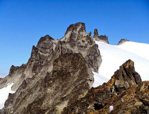 Horsemans Pack and The Horseman | 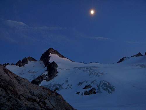 Snowfield At Night | 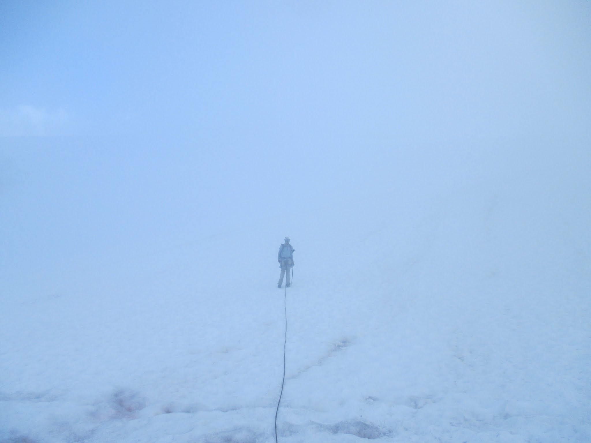 whiteout by Fletcher Jordan |
Camping
There is one south facing bivy wall at the Colonial-Neve col with room for two 84x54" tents. A constant breeze from the temperature gradient will usually keep bugs away. There is running water in later season from the base of Névé's West face. This is true wilderness so keep your food and any scented items away from camp and contained against bears (which have been known to roam the area) especially in summer and fall. It would also be wise to keep anything like rope, harnesses or boots out of reach from rodents who like to chew on gear if given the opportunity.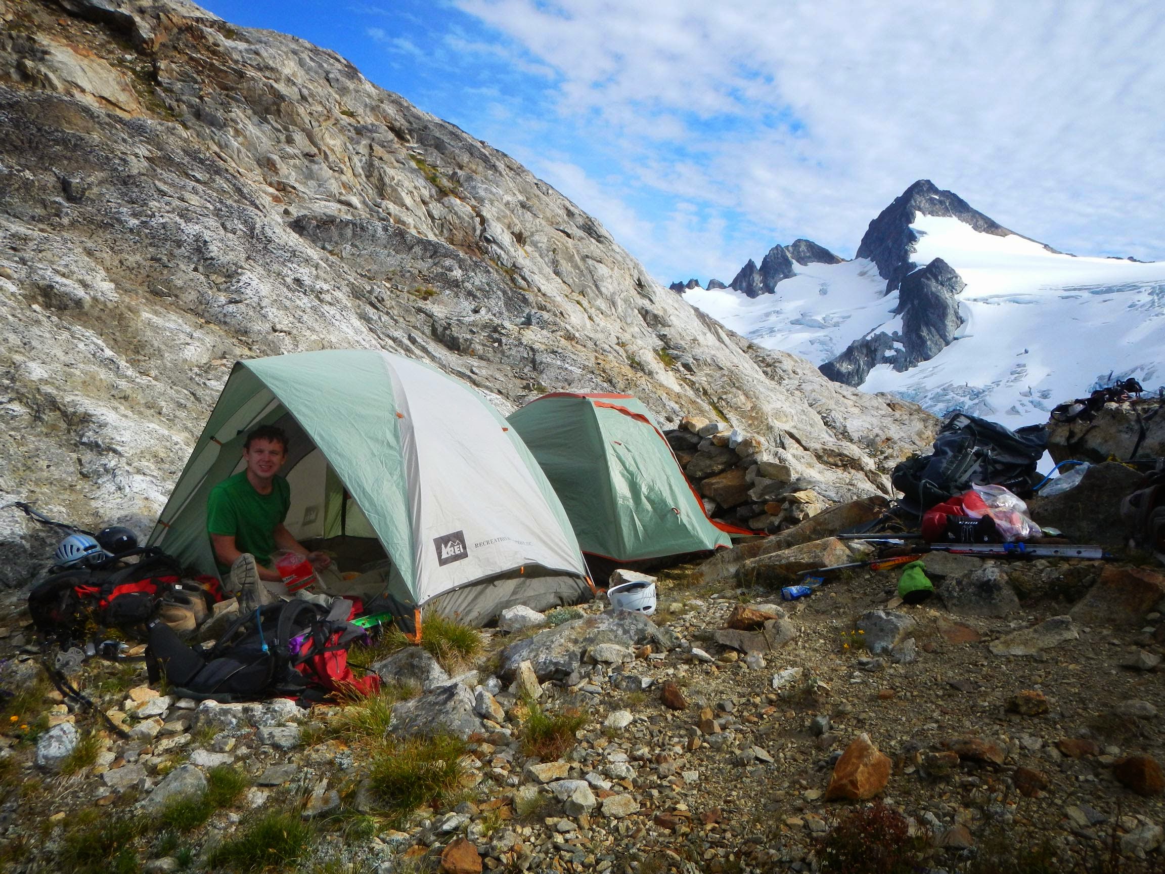 Colonial-Neve Col Camp. Taken by gimpilator | 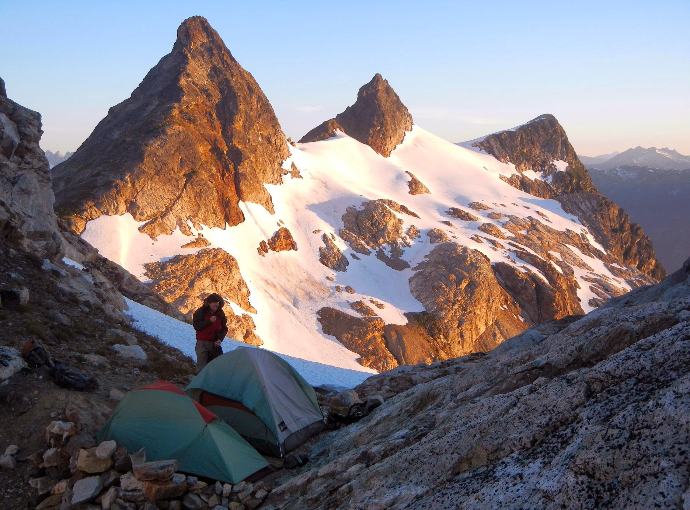 Neve Col. Taken by gimpilator |
External Links
North Cascades National Park Climb PlannerNOAA point Weather Forecast
Northwest Avalanche Center
North Cascades National Park website
WSDOT North Cascades Hwy 20
http://www.nps.gov/noca/planyourvisit/visitorcenters.htm
Trip Reports:
Fletcher Jordan Trip Report from 08-07-2014
Youtube video by gimpilator of a Snowfield Peak trip that included Horsemans Pack: