Toggle navigation
Mountains
Routes
Images
Trip Reports
Forum
What's New
People
Areas & Ranges
Articles
Trailheads
Canyons
Huts & Campgrounds
Albums
Logistical Centers
Fact Sheets
Lists
Custom Objects
Gear
Plans & Partners
WELCOME TO SUMMITPOST
SIGN IN
REGISTER
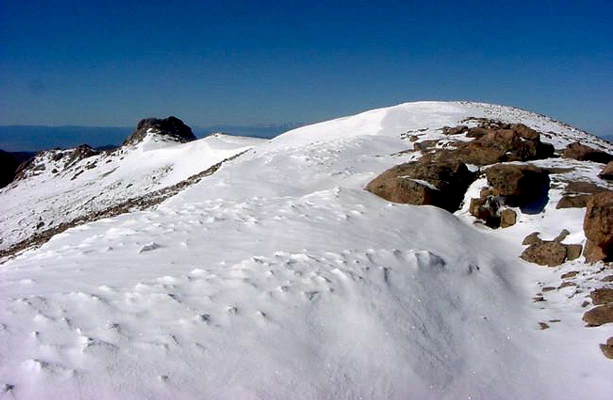
Looking south along the ridge...
View High-Resolution Image
Looking south along the ridge...
Looking south along the ridge between the west fork of Beaver Creek to the east and the Crags and Horsethief Park to the west.
« PREV
NEXT »
csmcgranahan
on
Jun 12, 2005 6:02 pm
Comments & voting
Other parents
Lat/Lon:
38.84040°N / 105.1045°W
Image ID:
109814
2774 Hits
73.06
% Score
3
Votes
Log in to vote
Comments
No comments posted yet.
to post!
Don't have an account?
Sentinel Point
(Mountain/Rock)
You are at
the First
Image
Viewing
#1 of 1
GALLERY
You are at
the Last
Image
csmcgranahan's Image Gallery
« PREV
Viewing
#313 of 660
GALLERY
NEXT »
Sentinel Point
(Mountain/Rock)
Loading....
Northeast Ridge via Devil's Playground
(Route)
Loading....
×
You need to login in order to vote!
User Name
Password
Remember me
Forgot your password?
Log me out when I close my browser.
Keep me logged in all the time.
sign in as a user
Don't have an account?
Register now for FREE
Rating available
Suggested routes for you
People who climb the same things as you
Comments Available
Create Albums
Register Here


