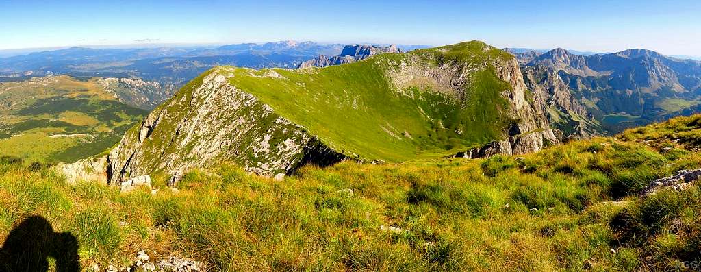
Spanning from 65° to 205°.
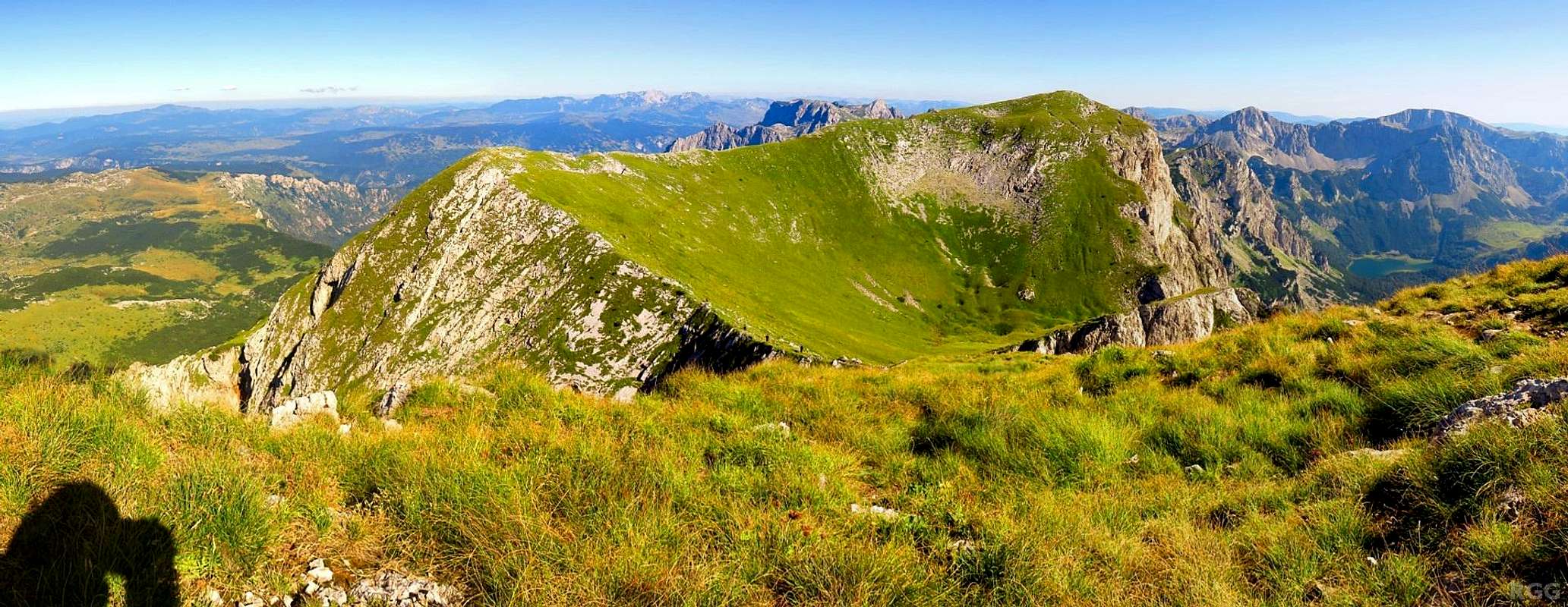
Starting at Prijevor, I've just climbed Maglić, the highpoint of Bosnia and Herzegovina. The summit is on the border with Montenegro. I'm wondering if that nearby grassy peak (just right of center), which is part of Maglić, is actually higher. Even if it is, it's not the country highpoint because it's in Montenegro. But I'll go there anyway, because the route I want to use for the descent passes that way.
Though I started rather late today, I would like to get back to the trailhead, but I don't necessarily have to. Just in case, I've packed everything for a comfortable bivvy, and all I really need is a decent source of water. A suitable place would be Trnovačko lake, visible on the far right side of this panorama.
The trail proves to be longer and rougher than I thought, and it takes me longer than I had expected to get there. By then I reckon I have just enough daylight left to get back to Prijevor, so I continue. I reach my car by dusk and camped right next to it.
14 Aug 2016.


