
|
|
Mountain/Rock |
|---|---|
|
|
46.95366°N / 123.08971°W |
|
|
Thurston |
|
|
Hiking |
|
|
1160 ft / 354 m |
|
|
Overview
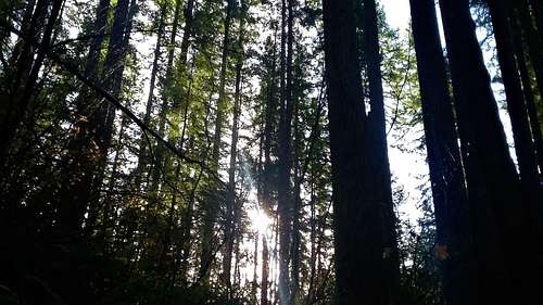
Views through the trees
Thick forest near the summit
The absolute summit does not have views but on the south side of the mountain lies clear views of Mount Rainier and Mount Saint Helens. The trails are a but confusing so please bring a map with you and pay close attention to the landscape when hiking to this summit. I have a couple stories about people missing this summit due to all of the confusing trails.
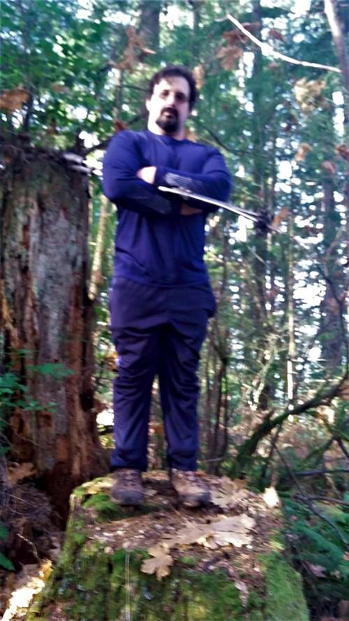
EastKing on the summit log
Directions
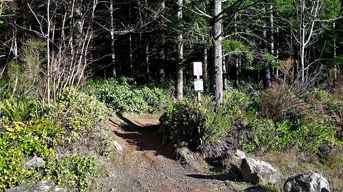
The north trailhead
VIA MOUNT MOLLY FR OM THE SOUTH: From the Black Lake Lane Exit off of Highway 101 head south for 4.3 miles (road will turn into 62nd lane). From there make a left on Delphi Road and go for 2.2 miles. Make a right onto Waddell Creek Road. When you see the turnoff to Sherman Creek road veer left and stay on Waddell Creek road. The trailhead will be on the right near the Middle Waddell Campground.
Routes
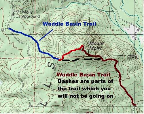
Map of the Routes from the Northwest and the Southeast
From the Southeast: Take the Waddell Basin Trail from near the Middle Waddle Campground and take it north roughly 1.5 miles until you hit a road. From there make a right and look immediately for a side trail to the right. You can also pickup the same trail from the if you continue straight and turn on the less used trail immediately to the left. This area is confusing so keep an eye on your geography. Take the trail all the up to near the the summit. Once near the summit there is a bootpath which will take you right to large cut stump. One would assume this is the summit and from all of my exploring this looks to be it.
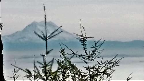
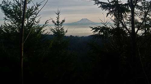
Mount Rainier from Mount Molly
For good views continue on the trail down the summit head southeast. There are views just down the slope but they are starting to fill in. In five years this will probably look very different.