Routes


North Limestone Alps, Austria, Europe
97 miles away
Route Type: ski ascentDifficulty: 35-40°
Parents: Hochschwab Massif Hochschwab

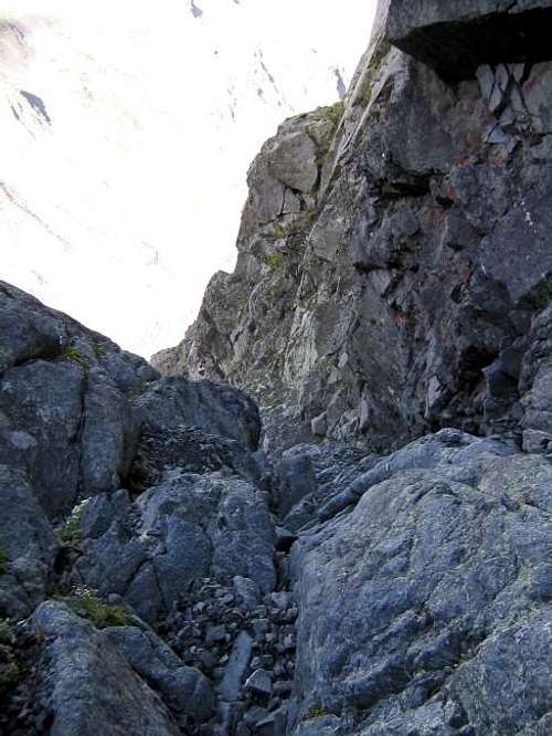
 from Weichselboden (Skitour)")
Styria, Austria, Europe
98 miles away
Route Type: Ski route (usually)Difficulty: 35° (up to 40°)
Parents: Hochschwab Massif Hochschwab


North Limestone Alps, Austria, Europe
98 miles away
Route Type: SkiingDifficulty: steepness 30°, variants up to 40°
Parents: Hochschwab Massif Hochschwab


North Limestone Alps, Austria, Europe
98 miles away
Route Type: SkiingDifficulty: easy but long ski tour
Parents: Hochschwab Massif Hochschwab

North Limestone Alps, Austria, Europe
98 miles away
Route Type: ski or walkDifficulty: 30°
Parents: Hochschwab Massif Hochschwab


Bavaria / Tyrol, Austria, Europe
98 miles away
Route Type: Mountaineering, ScramblingDifficulty: UIAA II - III-
Parents: Grosse Arnspitze Arnplattenspitze


Tyrol, Austria/Italy, Europe
99 miles away
Route Type: Basic Snow and ScrambleDifficulty: UIAA II
Parents: Sonklarspitze
Tyrol, Austria/Italy, Europe
99 miles away
Route Type: Basic Snow / ScrambleDifficulty: UIAA II
Parents: Sonklarspitze


Tirol, Austria, Europe
99 miles away
Route Type: Glacier and RockDifficulty: 2-3+
Parents: Zuckerhuetl


Tirol, Austria, Europe
99 miles away
Route Type: Mountaineering, SkiingDifficulty: Not difficult
Parents: Zuckerhuetl


Tirol, Austria, Europe
99 miles away
Route Type: Mountaineering, SkiingDifficulty: Easy
Parents: Wilder Pfaff


Tyrol, Austria, Europe
99 miles away
Route Type: Ski tourDifficulty:
- Experienced ski-mountaineers
- Elelevation gain: 1.750 meters
Parents: Ruderhofspitze


Tyrol, Austria, Europe
99 miles away
Route Type: basic glacier climb/easy scramblingDifficulty: easy
Parents: Ruderhofspitze


Tyrol, Austria, Europe
99 miles away
Route Type: via ferrataDifficulty: UIAA I
Parents: Rinnenspitze


South Tyrol / Alto Adige, Italy, Europe
100 miles away
Route Type: HikingDifficulty: Hike
Parents: Kolbenspitze / La Clava Muthspitze / Punta della Motta