
|
|
Mountain/Rock |
|---|---|
|
|
47.17380°N / 121.9733°W |
|
|
Hiking |
|
|
Spring, Summer, Fall, Winter |
|
|
1801 ft / 549 m |
|
|
Overview
 The view east to Rainier
Welcome to another small "exercise" summit located just southeast of the greater Seattle-Tacoma area. This former cinder cone located just outside of Enumclaw is home numerous trails on its north and south sides and a number of good views of the area. It should be noted that this summit actually has three separate name; Pinnacle Peak, Mount Peak and Mount Pete. Whatever you choose to call the mountain is great little backup peak when weather spoils your plans for larger mountains. Located just southeast from the town of Enumclaw this mountain of volcanic origin is a classic family hike. The peak stand 1000 feet above the valley floor and often make a good foreground peak to nearby Mount Rainier. There is very little in the way of views from the summit due to overgrowth, however at one time this peak had a lookout tower and the concrete base is still there today. As for today there are still section where there are views. Near the summit there is a view looking north. There is also a side trail from the summit are with a view off a ledge looking east. This peak is also very popular among local and among trail runners in the area.
 |
Route Page
Here is a link an official map of the Pinnacle Peak ParkThe North Side
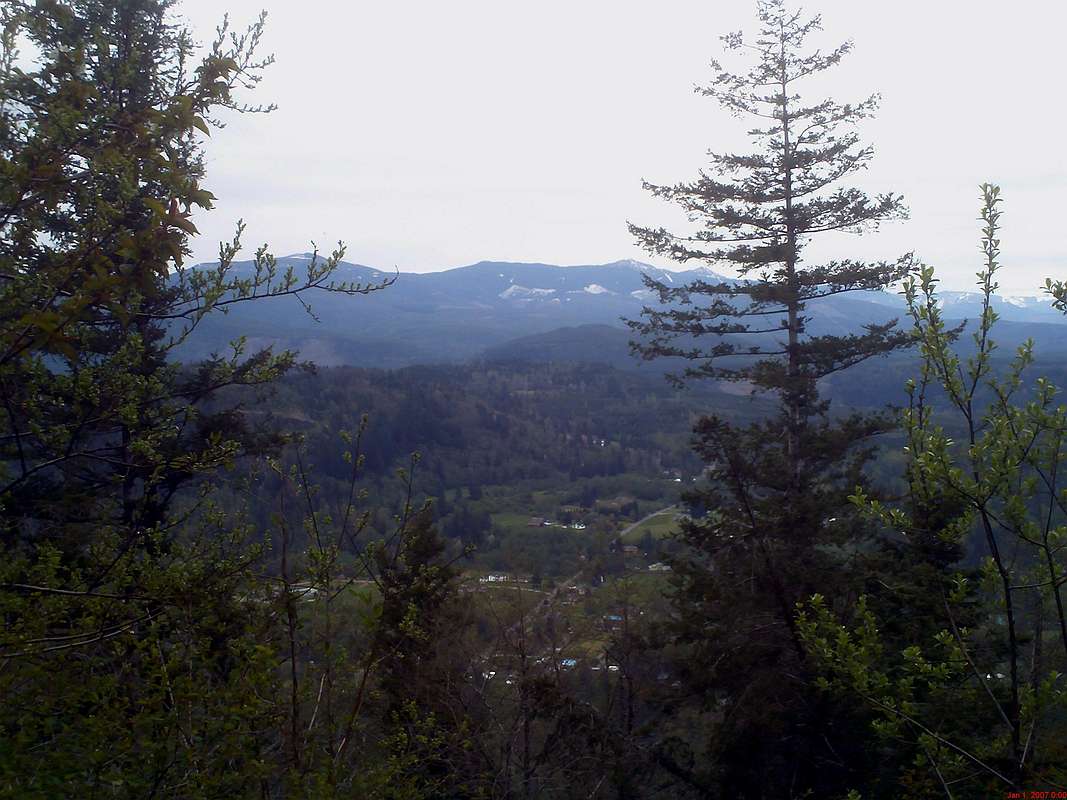
 The view north from Pyramid Peak
The trailhead from the north is the more famous way to get to the summit. The main route to the summit, the YDS Class 1 Cal Magnusson Trail is a fairly straight forward way to reach this summit. The trail remains at a constant moderate pitch and climbs a little over 1000 feet in 1 mile. There is a small wire on part of the trail to assist guest on one small washout section. There are no scrambles or even any severely steep terrain, but just a trail with a constant grade and with switchbacks from start to finish. This constant terrain and good elevation gain over such a short distance is the reason it is one of the preferred trail running routes.
 Crossing an area on the Cal Magnusson Trail Crossing an area on the Cal Magnusson Trail |  Eastern views Eastern views |
There is also an alternate trail that leaves from the same trailhead. This trail known as the Goat Trail, has one real steep section but has a good view of the town of Enumclaw. This trail is not advised in wet, slippery or muddy conditions. It is very steep in spots and the footing is poor in sections. Both trails eventually reconnect as they get closer to lead to the true summit.
The South Side
Alternatively if you want a less steep way you can now approach this summit from the south. The access is easier and the trails on the south side are less steep. The distance is much longer than from the north but the grade will be much easier.
Getting There
TO THE NORTH TRAILHEAD FROM ENUMCLAW: Take 410 east almost a mile. You want to turn right on 284th Street. From there drive about a mile and a half to near the base of the Peak. Make a right on SE 472nd Street on your right. The obvious Cal Magnusson Trailhead with be on your lefthand side. The main trail will on the left of the sign whereas the side trail with the view of Enumclaw with be on your right.TO THE SOUTH TRAILHEAD FROM ENUMCLAW: Take 410 east almost a mile. You want to turn right on 284th Street. From there drive about two and a half miles passing the Pinnacle Peak cinder cone on your right. Make a right onto Mud Mountain Road. The south trailhead will be two miles on your right hand side.
Red Tape
There is no trailhead fee to hike this mountain on either trailheads.Camping
 Sorry! You can only see Rainier during the day.
No camping is permitted in the park. Besides the mountain is only one mile long and is highly popular with families hikers and trailrunners.
External Links
Here is more information on the peakThis is a trip report on the mountain.
Official King County Page on Pinnacle Peak
Offical Page for Routes on Pinnacle Peak
