
-
 279 Hits
-
 78.27% Score
-
 9 Votes
|
|
Mountain/Rock |
|---|---|
|
|
48.77125°N / 13.85727°E |
|
|
4521 ft / 1378 m |
|
|
Topographic isolation: 41 km
Nearest higher peak: Grosser Rachel (1453 m)
Prominence: 510 m
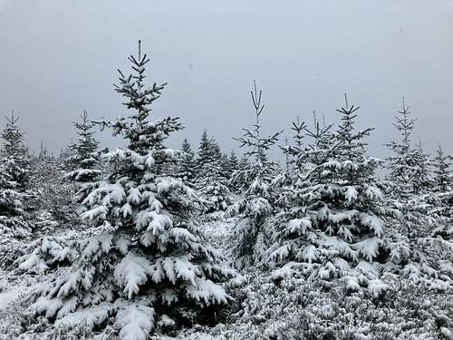
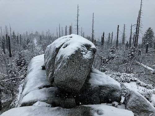
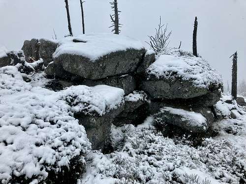
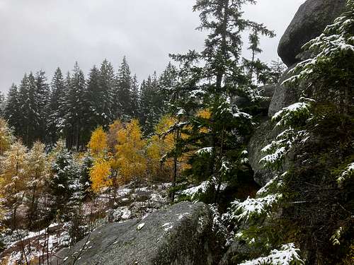
Generally we create pages here on Summitpost for peaks or mountains that are really nice places. It is not that place. It’s ugly. Why can a mountain be ugly? In most cases due to human constructions - like transmission stations or military bases - on the summit. On this mountain there is no such construction. Here nature is ugly. It is the result of bark beetle attack. Only skeletons of trees or their trunks remained. Though, in lower regions you can also find healthy forests.
Still, this mountain is important, from several aspects:
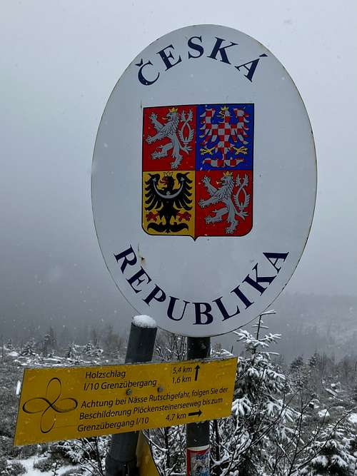
- The triple border of Germany, Austria and the Czech Republic is here
- This is the highpoint of the part of Austria that is north of the Danube, as well as the highpoint of the Upper Austrian region of Mühlviertel
- It is the highpoint of the South Bohemian Region of the Czech Republic.
The mountain is called Plöckenstein in German language and Plechý in Czech language. In the following I will refer to the mountain as Plöckestein. And I ask the Czech readers to forgive me.
This mountain belongs to the mountain range Bohemian Forest. The Czech side of this mountain range is called Šumava, and it is the area of the Šumava National Park.
Plöckenstein makes part of the main European watershed, stretching from Gibraltar to Russia. In our case it means that the streams running to the south get to the Black Sea, while the streams on the north get to the North Sea. More precisely:
- South slope: Riesbach → Klafferbach → Grosse Mühl → Danube → Black Sea
- North slope: Jezerní potok → Vltava → Elbe → North Sea.
The mountain has a 7 km long main ridge stretching from west to east. The peaks on the ridge are the following:
- Habergrasberg (1235 m) - in Germany. It's not a very interesting peak
- Hochstein (1333 m) - in Germany, with scenic viewpoint and with a small chapel
- Dreisesselberg (1323 m). The peak is in Germany, 20 meters far from the Czech border. The Czech name of the peak is Třístoličník. The peak is a spectacular rock formation and a scenic viewpoint. There is a tourist hut here, too (Berggasthof Dreisessel)
- Vysoký hřeben (1341 m) is a summit on the Czech side of the border with Germany, less than 100 meters far from the border. The German name of the summit is Hochkamm. It’s not a very interesting summit
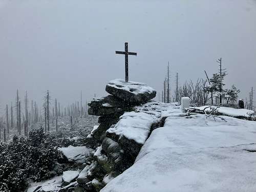
- Bayerischer Plöckenstein / Trojmezná (1362 m) - on the German-Czech border. It is the highest peak of the German side of the mountain. The peak is a nice rock formation, with a cross erected on it, offering a good panoramic view. A part of the southern slope is a scree, called Steinernes Meer. It is worth visit it
- Hufberg (1378 m) in Austria, 40 meters far from the Czech border. The Czech name of the peak is Nad Rakouskou loukou. There is a bivak formed of natural granite slabs on the summit, called Adalbert Stifter Dachl
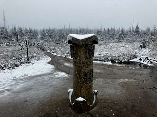
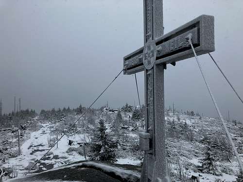
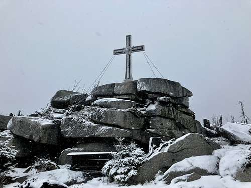
- Plöckenstein / Plechy (1378 m) on the Austrian-Czech border, formed by a big pile of granite blocks, with a cross on its very top, and with a great panoramic view around. This is the highest point of the mountain. At the Czech side of the border you can admire a unique geographical object: a glacial cirque with a lake in it: Plešné jezero (Plöckensteinsee).
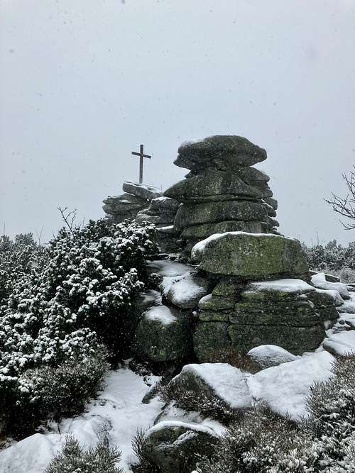
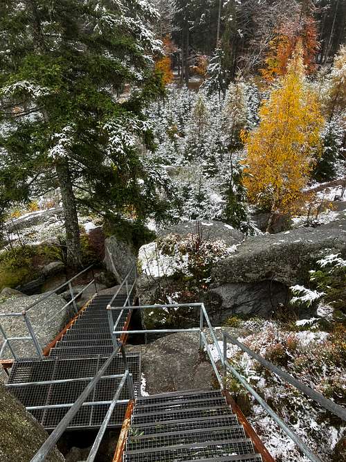
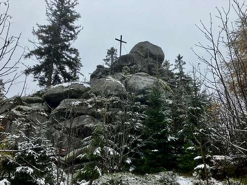
A peak of the mountain that you shouldn’t miss is not on the main ridge but south to it, 1700 meters far from the triple border, in Austria. This peak is called Teufelsschüssel (Devil’s Bowl). It’s a spectacular rock formation, with a cross erected on its top, offering a good view around. metal stairs have been constructed there, in order to make the ascend easier to the rocky peak.
Routes
The most adequate trailheads in the three countries:
- Austria: the parking place in Oberschwarzenberg, at 895 m above see level.The parking place is 5 Euro per 1 day. The shortest marked trail to Plöckenstein is 5 km long
- Germany: the parking place near the peak of Dreisesselberg, at 1225 m avove see level. The shortest marked trail to Plöckenstein is 5.2 km long
- Czech Republic: the paid parking place in Nová Pec, at 795 m above see level. The shortest marked trail to Plöckenstein is 7.3 km long
When to Climb
In any season
External Links
You can find an excellent online map here:
https://en.mapy.cz/turisticka?source=base&id=2026297&x=13.8310881&y=48.7719306&z=14