Toggle navigation
Mountains
Routes
Images
Trip Reports
Forum
What's New
People
Areas & Ranges
Articles
Trailheads
Canyons
Huts & Campgrounds
Albums
Logistical Centers
Fact Sheets
Lists
Custom Objects
Gear
Plans & Partners
WELCOME TO SUMMITPOST
SIGN IN
REGISTER
"Porcupine Peak"
View High-Resolution Image
"Porcupine Peak"
Mt. Shasta seen beyond a large meadow along the PCT, en route to "Porcupine Peak".
« PREV
NEXT »
Bubba Suess
on
Aug 13, 2008 6:21 pm
Comments & voting
Other parents
Lat/Lon:
41.40154°N / 122.21191°W
Image ID:
431377
5923 Hits
79.78
% Score
11
Votes
Log in to vote
Comments
Post a Comment
Viewing: 1-1 of 1
calebEOC
-
Sep 26, 2008 12:08 am - Voted 10/10
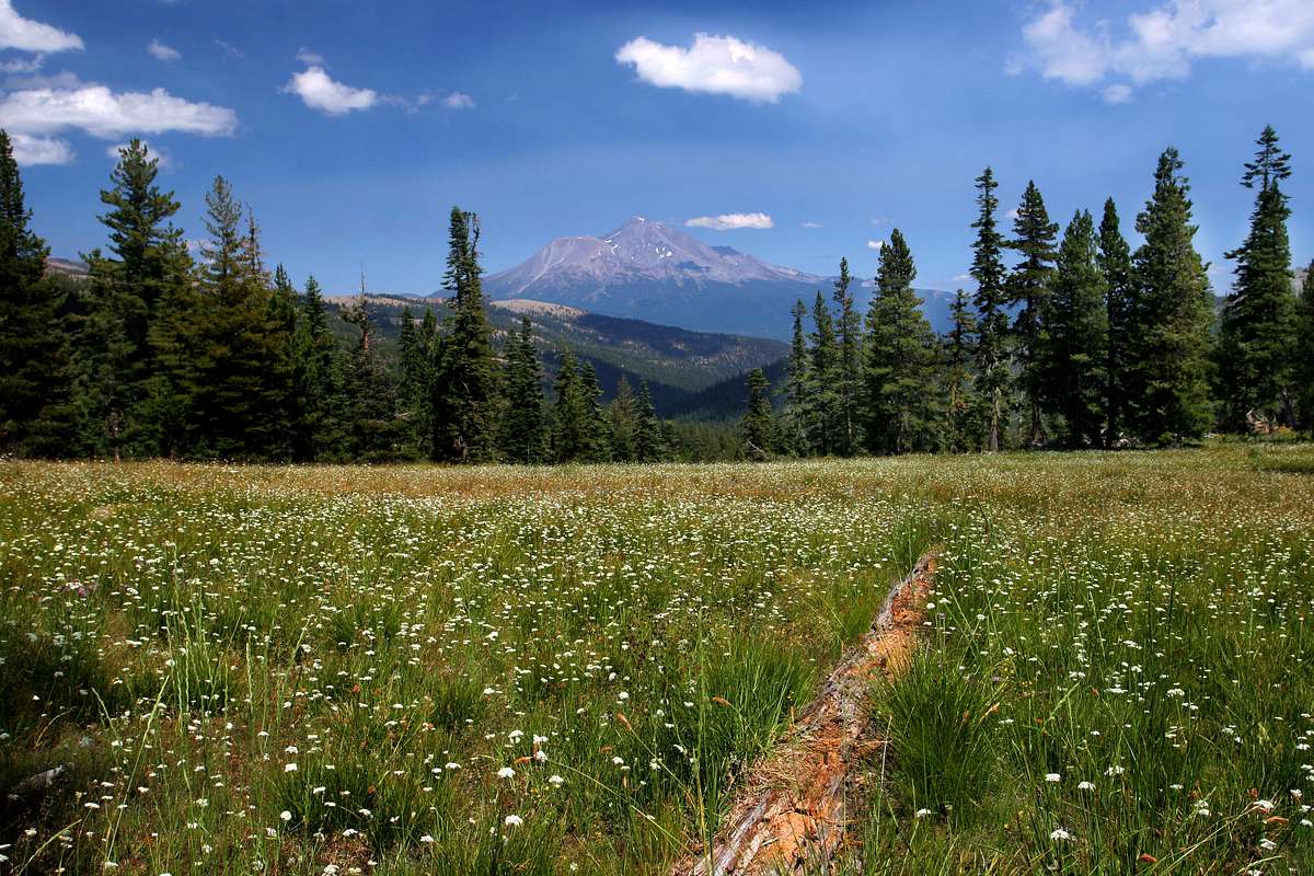
nice
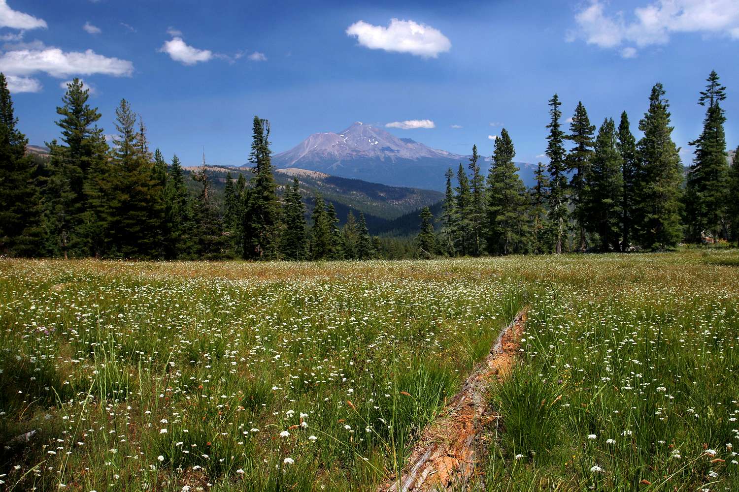
great photo at full size
Viewing: 1-1 of 1
to post!
Don't have an account?
Trinity Divide
(Area/Range)
You are at
the First
Image
Viewing
#1 of 1
GALLERY
You are at
the Last
Image
Bubba Suess's Image Gallery
« PREV
Viewing
#220 of 1258
GALLERY
NEXT »
Trinity Divide
(Area/Range)
Loading....
Mount Shasta
(Mountain/Rock)
Loading....
"Porcupine Peak"
(Mountain/Rock)
Loading....
PCT to "Porcupine Peak"
(Route)
Loading....
Mount Shasta
(Album)
Loading....
Mount Shasta: 2007-2008
(Album)
Loading....
×
You need to login in order to vote!
User Name
Password
Remember me
Forgot your password?
Log me out when I close my browser.
Keep me logged in all the time.
sign in as a user
Don't have an account?
Register now for FREE
Rating available
Suggested routes for you
People who climb the same things as you
Comments Available
Create Albums
Register Here
Comments
Post a Comment