

Comments
No comments posted yet.
|
|
Trip Report |
|---|---|
|
|
45.52697°N / 7.20088°E |
|
|
Apr 23, 2017 |
|
|
Hiking, Mountaineering, Trad Climbing, Sport Climbing, Toprope, Bouldering, Ice Climbing, Aid Climbing, Big Wall, Mixed, Scrambling, Via Ferrata, Canyoneering, Skiing |
|
|
Spring, Summer, Fall, Winter |
All pictures of this page are by Emilio Bertona, eza, Ilario Antonio Garzotto, Antonio Giani, turistoalpinista & Osw
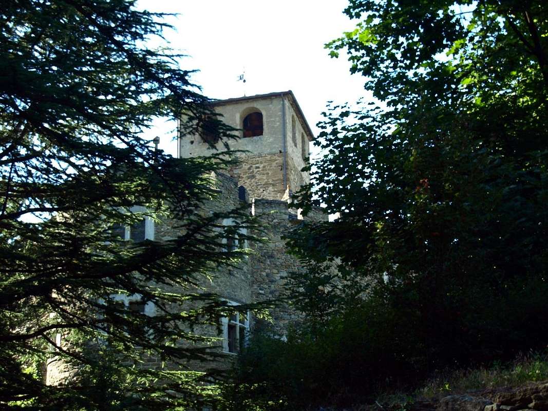
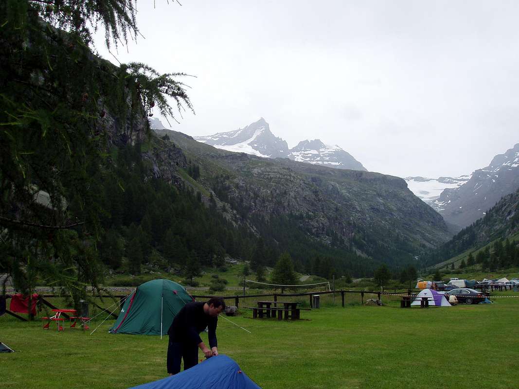
Today a road asphalt along the entirety reaching Pont (1980m), where the adventure begins. But just before the same another trail reaches a new shelter dedicated to the two famous brothers Mountaineers and Climbers Federico and Renato Chabod, great Sons of Val Savarenche. But this is also, par excellence, since 1922 the Valley of P.N.G.P. (National Park Gran Paradiso) that coinvole, but not so complete like this, the nearby Valleys of Cogne, Rhêmes and Soana-Ceresole Reale, this last in Piedmont.
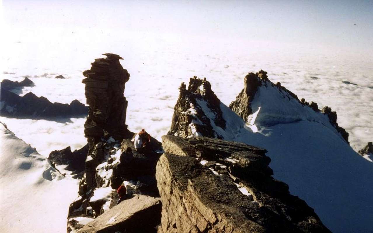
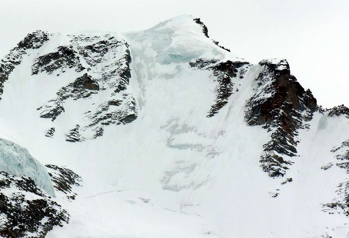
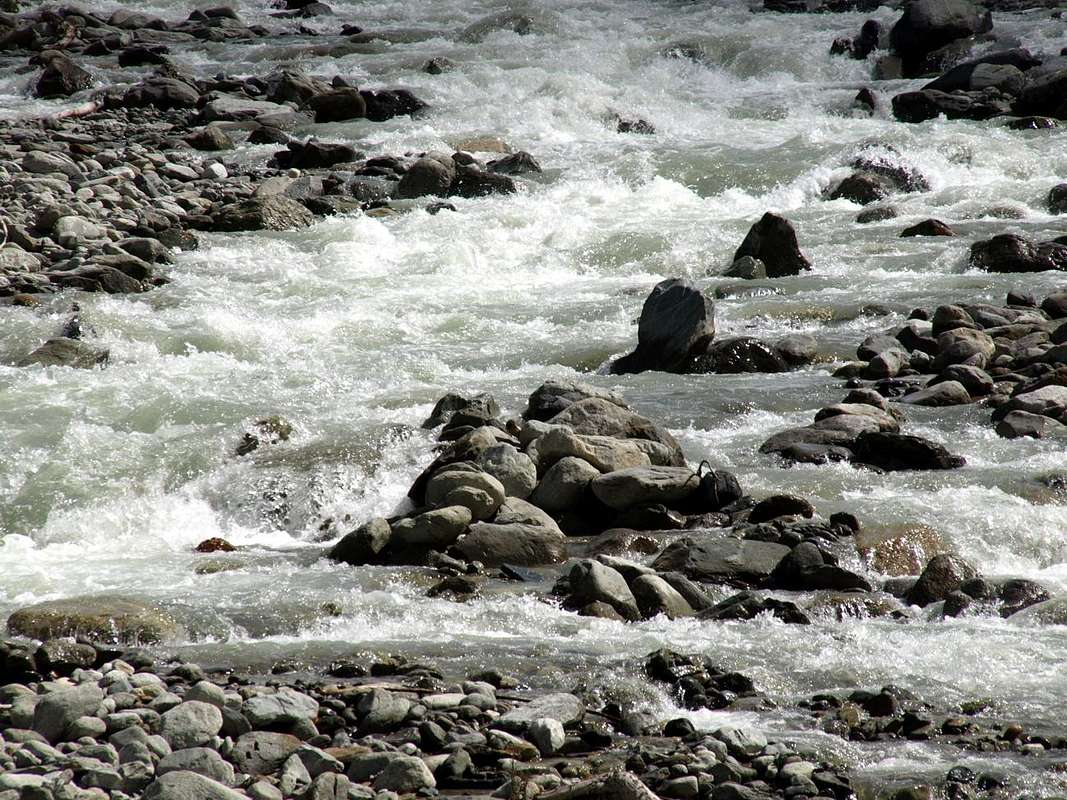
Throughout this great environment, where you can breathe an air of great classical mountaineering, many torrents flow from the three cardinal directions: from the "Meridione" or South at the slopes of the Grand Etret Glacier, contained between the Denti del Broglio and Punta Fourà; from the East with all the satellites of Gran Paradiso (4165m), ie, from South to North, Broglio's Jags, Becca of Monciair, Ciarforon, Tresenta and, beyond the Summit, Small Paradise, Becca of Montandayné, Herbetet and down up to the Col Lauson. Here the ridge rises to form the Grivola (3964m) before declining towards the Dora Baltea. Not before he formed the blackish daring and threatening pyramid of the Grand Nomenon. A whole series of streams slip, "wounding" the various valleys, from East to West to the Savara or, if you like, the Dora of Valsavarenche. The last tributaries come from the West: first with the Dora of the Nivolé, which collects the waters of a series of beautiful lakes, small lakes and ponds scattered along or just above its majestic plateau (the longest in Europe); then also here with identical characteristics of the opposite slope, flowing from West to East in the direction of the bottom valley from the watershed divide with the adjacent Valley of Rhêmes. A water concert, an orchestra going to sublimate itself in Savara. Along with this, all that remains is to go down to the Dora Baltea.
There, at the below Villeneuve, where an ancient and hardy stonebridge, "binds" this Southern orographic-hydrographic part with the opposite or the North.
Oggi una strada asfaltata la percorre integralmente raggiungendo Pont (1980 m), ove inizia questa avventura. Ma subito prima del medesimo un altro sentiero raggiunge un nuovo rifugio dedicato ai due celebri fratelli Federico e Renato Chabod, grandi Figli della Valsavarenche. Risulta anche, per eccellenza, dal 1922 la Valle del P.N.G.P. (Parco Nazionale del Gran Paradiso) coinvolgente, ma non in modo completo come questa, le viciniori Valli di Cogne, Rhêmes e Soana-Ceresole Reale in Piemonte.
In tutto questo grande ambiente, dove si respira un'aria di grande alpinismo classico, scorrono molti torrenti che provengono dalle tre direzioni cardinali: da Meridione dalle pendici del Ghiacciaio del Grand Etret, contenuto tra i Denti del Broglio e la Punta Fourà; da Oriente con tutti i satelliti del Gran Paradiso (4165 m), cioé, da Sud a Nord, Denti del Broglio, Becca di Monciair, Ciarforon, Tresenta ed, oltre la Sommità, Piccolo Paradiso, Becca di Montandayné, Herbetet e giù fino al Col Lauson. Qui la cresta si rialza per formare la Grivola (3964 m) prima di declinare verso la Dora Baltea. Non prima di aver formato l'ardita, nerastra nonché minacciosa piramide del Grand Nomenon. Tutta una serie di torrenti scivolano, "ferendo" i vari valloni, da Est ad Ovest verso il Savara o, se volete, la Dora di Valsavarenche. Gli ultimi affluenti provengono tutti dall'Occidente: dapprima con la Dora del Nivolé, che raccoglie le acque di una serie di splendidi laghi e laghetti disseminati lungo od appena al di sopra del suo maestoso altipiano (il più lungo di Europa); poi, anche qui con identiche caratteristiche del versante opposto, defluendo da Occidente verso Oriente in direzione del fondovalle dallo spartiacque divisorio con l'attigua Valle di Rhêmes. Un concerto d'acque, un orchestra che và a sublimare sé stessa nella Savara. Con questa, non rimane, ora, che discendere verso la più ch'impetuosa Dora Baltea.
Là presso la sottostante Villeneuve, dove antico ponte in pietra ardito, "lega" questa parte orografica-idrografica Meridionale con l'opposta o Settentrionale.
But they are end even those who saw us as young people roam around here, running and riding over him on "Granpa" or offering chocolate to Turin red fox.
 |
 |
 |
 |
 |
 |
 |
 |
 |
 |