


-
 3853 Hits
-
 81.18% Score
-
 13 Votes
|
|
Route |
|---|---|
|
|
45.58700°N / 7.80315°E |
|
|
Mixed |
|
|
Spring |
|
|
Half a day |
|
|
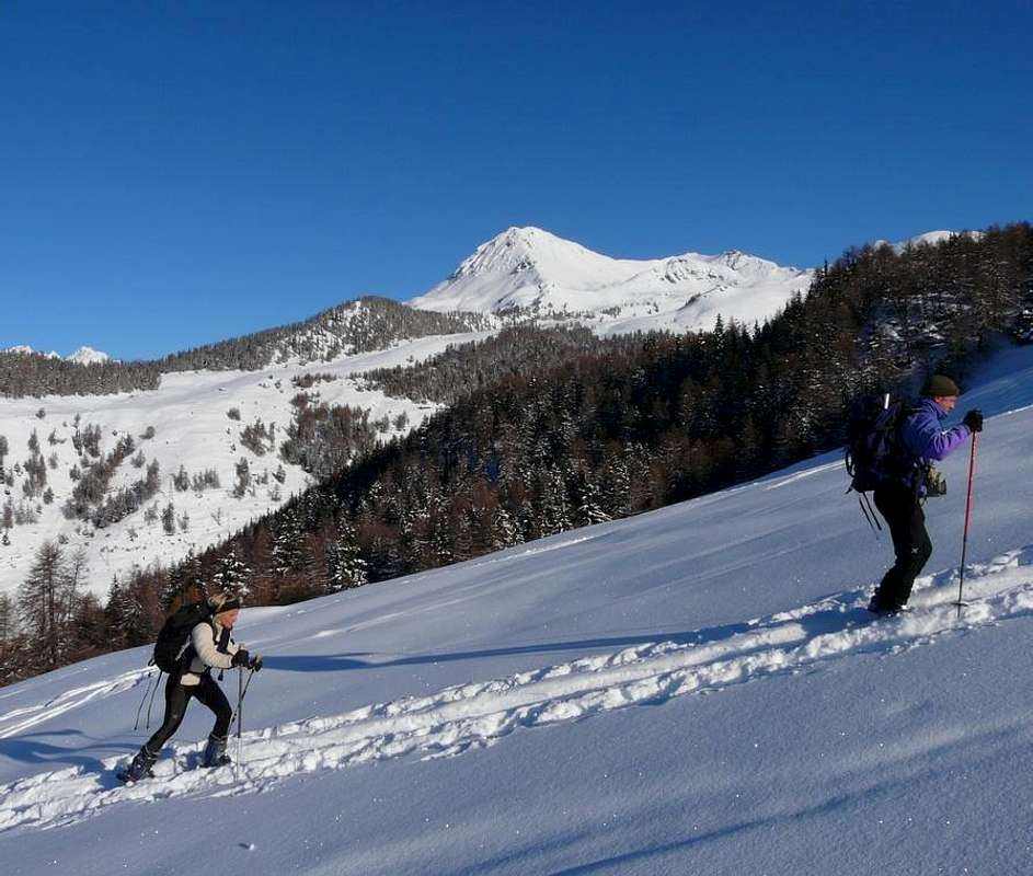
Various according to the steepness of the slopes (by snowshoes) |
|
|
Note
|
La montagna chiama i suoi figli, ed essi rispondono fedelmente al suo appello… Osvaldo Cardellina, Diario alpinistico, 1964-65 Page texts: @ OsvaldoCardellina "Osva", passed away on May 2, 2022. Page owners: Christian Cardellina e Osvaldo Cardellina. Any updates from September 12, 2022: Antonio Giani, page administrator, friend and climbing companion. Testi della pagina: @ OsvaldoCardellina "Osva", scomparso il 2 maggio 2022. Proprietari pagina: Christian Cardellina e Osvaldo Cardellina. Eventuali aggiornamenti dal 12 settembre 2022: Antonio Giani, amministratore della pagina, amico e compagno di salite. |
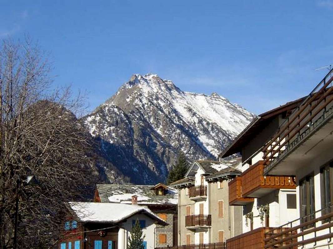
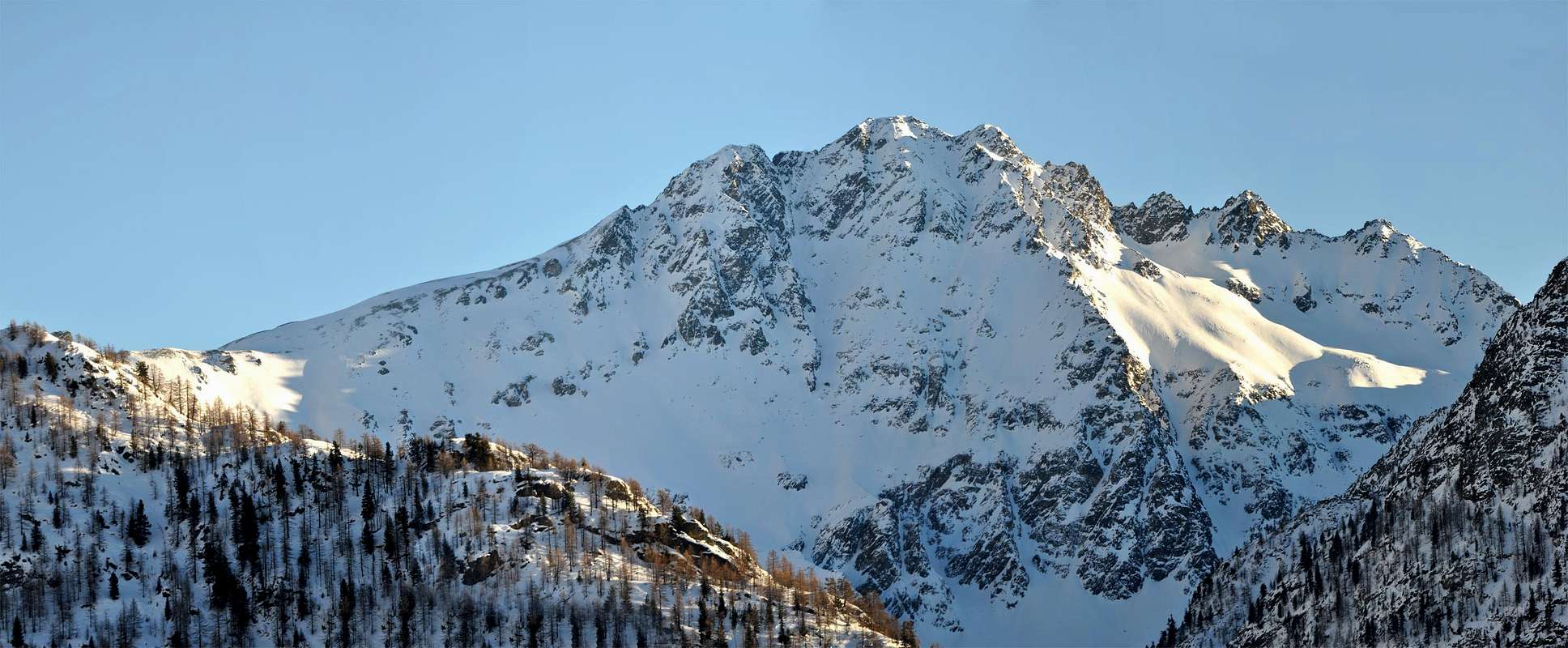
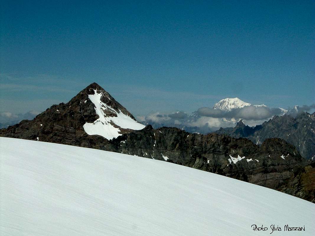
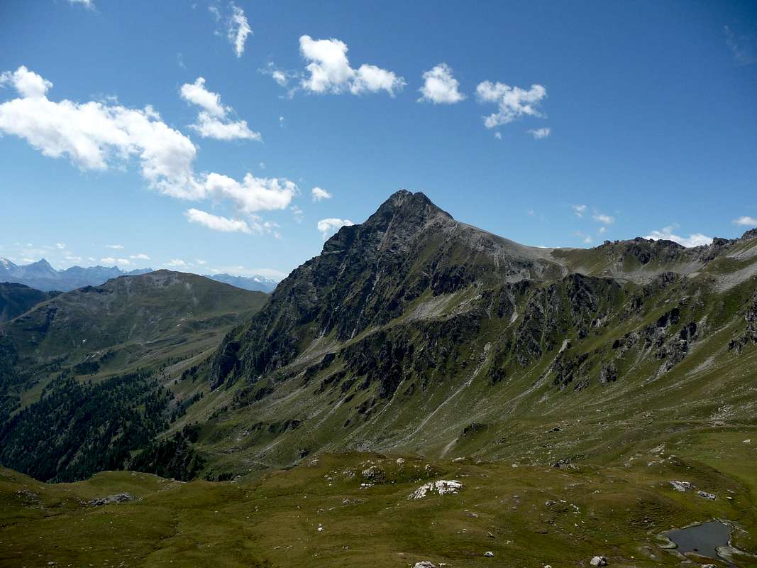
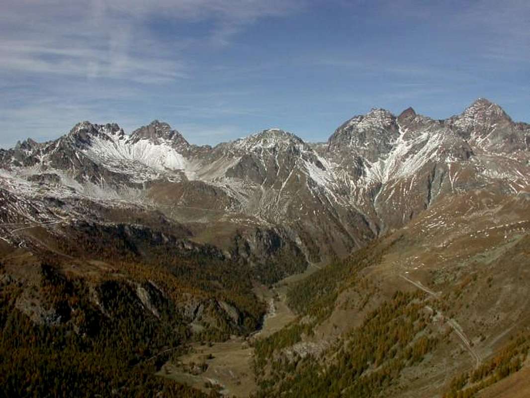
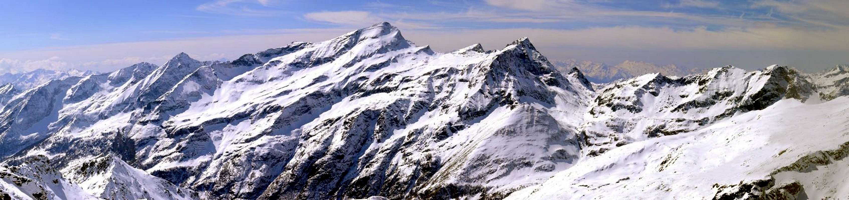
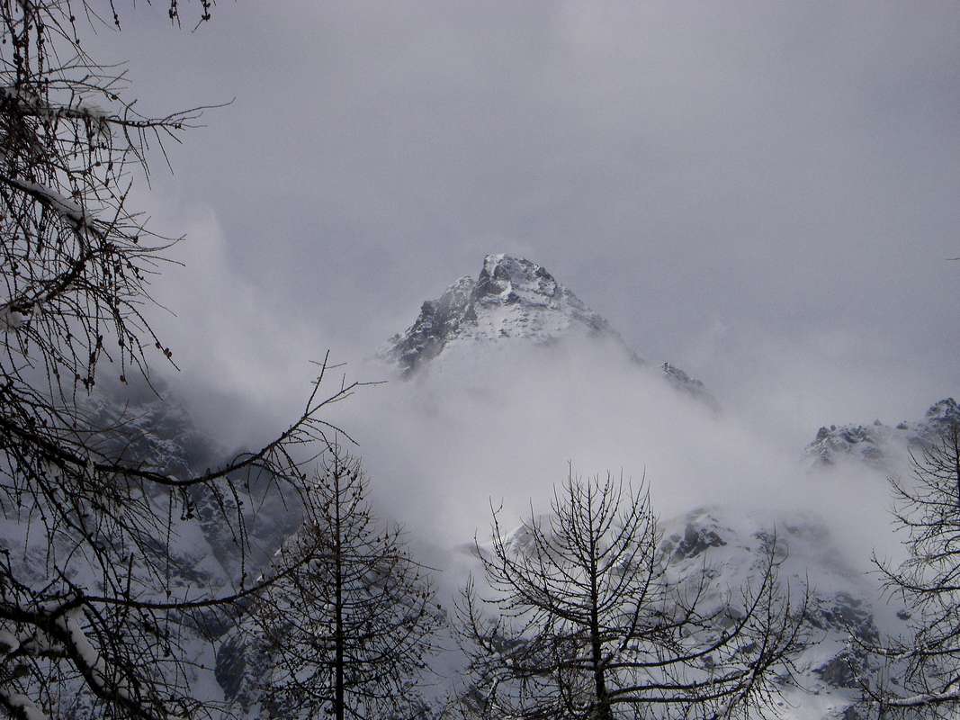
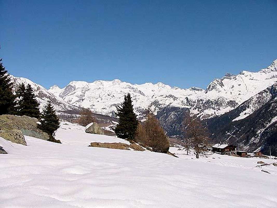
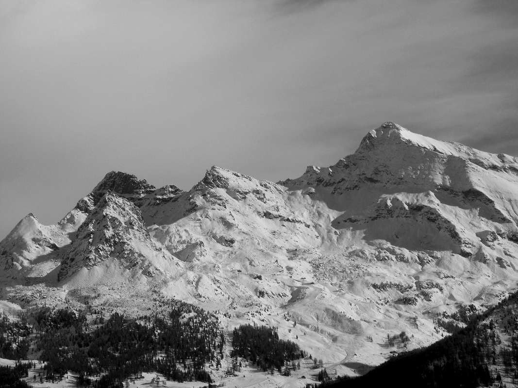
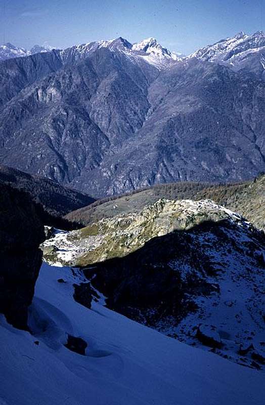
Overview Valpelline, Saint Barthélemy, Valtournanche, Val d'Ayas & Gressoney
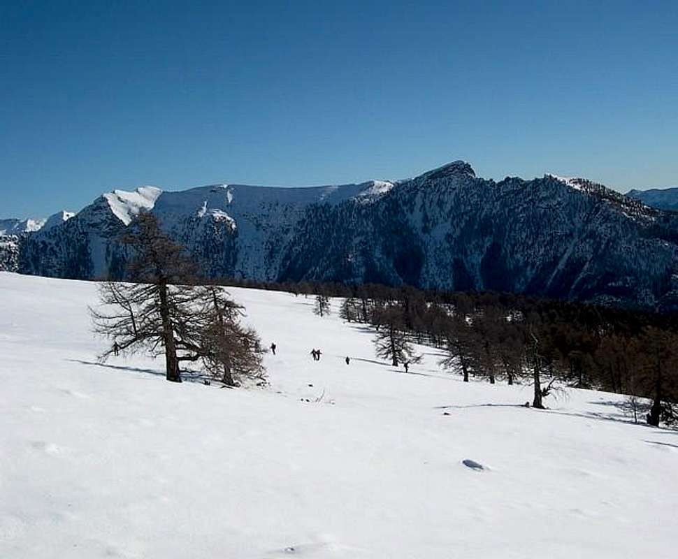
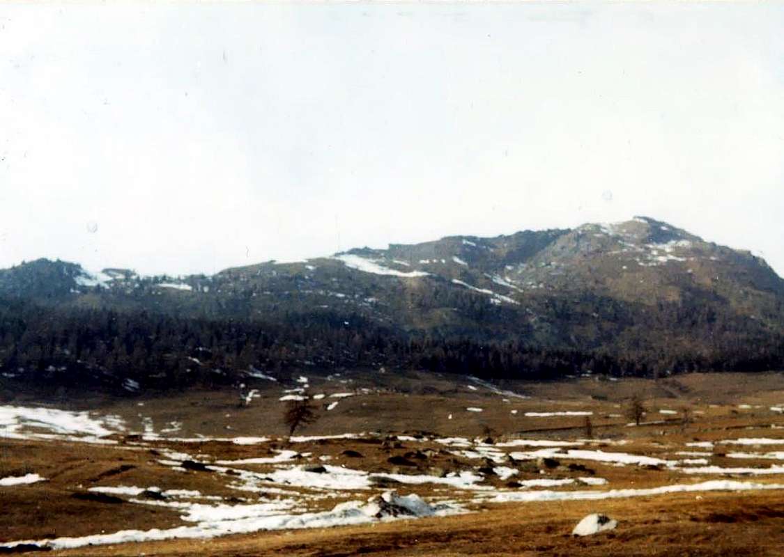
We literally "burned" the first 77 outings this North Slope (but could be even more in different raids carried out in a decade), for which what is forced to move in Valpelline those carried out in this area together with Saint Barthélemy, Marmore, Evançon and Lys Valleys in which the presence is definitely smaller. A little trick to balance better the job, without being "suffocated" by the space tyrant. Incidentally Valpelline is an area as large as extensive and well worth the space that is assigned; in contrast to the previous area of the "Coumba Freida" (Cold Basin), Great St. Bernard and Valley Ollomont comprises an area as wide, but most likely to provide a very large number of possibilities with snowshoes. We exploited by both the significantly true that on what is written on "paper". Or so it appears from the register and a personal confirmation of how this work has been designed a little in a "fancy", ie without proceeding with the measuring cup in his hand. A "growing" not planned and that transcribed the notes flowing expand over the years (mainly 1998-2007), or due to some sporadic and unpredictable flash memory (Age Ouch!). Of what you ask your pardon, but it is what moves the convent ... This area, which we treat here, begins symbolically Valpelline into Valpelline Valley to finish in Pont Saint Martin Municipality at the entrance of Aosta Valley; all trips which, however, are located on the axis Aosta/Verrès Towns have been described in the Second Part which covers the Central Valleys of Dora Baltea Stream. All the four areas described, we have signed with the point where they terminate, or Pré Saint Didier Commune for the South, Verrès for Central, Valpelline for Northwest and to the Pont Saint Martin for this last or the Northeast. A choice like any other, in fact they could be aggregated to the Central Appendices Southern Chain Monte Rosa along the watershed between the Aosta Valley and Piedmont, coming down from Signalkuppe to the small Mombarone, above the small Town of Carema, just before entering the "Valle". This is perhaps the reason for this choice, as these mountains , as well known in the "Upper" part and poorly in the "Medium-Lower" (* there is a Guidebook of the C.A.I, for the Prealps of Biella, nor other publications, except for some brief mentions in "Guide to the Western Alps" by Bobba and Vaccarone, 1896), belong equally to both the Aosta Valley Piedmont that in its three provinces of Novara, Biella and Turin. All the valleys instead mark the point of transition between Italy and Switzerland, except that the Valley of Saint Barthélemy is completely Aosta Valley; a unique case, since all the others in this region, including those in the industry or the Southern border with Piedmont or with France. So who wants to "breathe" air exclusively Italian go in Saint Barthélemy; perhaps with the telescope of its famous Observatory will find new and immense borders with Stars and Galaxies ...
Since this is a fairly wide area divide this work into two specific parts:
First Part: 1) - Gran San Bernardo Valley, in turn divided into two specific areas: 1a)- Southern Vallons. 1b)- Western and Northern Sides.
2) - Valley of Ollomont and superior By Basin.
Second Part: 3) - Valpelline.
4) - Valley of Saint Barthelemy.
5) - Valtournanche.
6) - Val d'Ayas.
7) - Valley of Gressoney.

Abbiamo letteralmente "bruciato" le prime 77 gite in questo Versante Settentrionale (ma potevano esser ancor più nelle diverse scorribande effettuate in un decennio), per la qual cosa s'é costretti a spostare quelle effettuate nella Valpelline in questo settore insieme alle Valli di Saint Barthélemy, Marmore, Evançon e Lys nelle quali la presenza risulta sicuramente di minore entità. Un piccolo accorgimento per equilibrare in modo migliore il lavoro, senza essere "soffocati" dallo spazio tiranno. Daltronde la Valpelline risulta una zona tanto larga quant'estesa e merita lo spazio che le si assegna; per contro la precedente area della "Coumba Freida" (Bacino Freddo), Gran San Bernardo e Valle di Ollomont consiste in uno spazio altrettanto largo, ma soprattutto tal da offrire un numero alquanto vasto di possibilità con le racchette da neve. Lo abbiamo sfruttato in modo notevole sia dal vero che su quanto riportato sulla "carta". Almeno così risulta dal personale registro ed a conferma di come questo lavoro sia stato ideato un poco in maniera "fantasiosa", cioé senza procedere con il misurino in mano. Un "crescendo" non programmato e tal d'ampliarsi scorrendo le note trascritte negli anni (principalmente dal 1998 al 2007), oppur grazie a qualche sporadico ed imprevedibile flash di memoria (Ahi l'Età!). Di ciò chiediam venia, ma é ciò che passa il convento ... Quest'area, della quale qui trattiamo, inizia simbolicamente a Valpelline nella Valpelline per terminare a Pont Saint Martin all'ingresso della Val d'Aosta; tutte le gite che, invece, sono situate sull'asse Aosta/Verrès son state descritte nella Second Part concernente le Valli Centrali della Dora Baltea. Tutte le quattro zone descritte le abbiamo siglate con il punto dov'esse terminano, ovvero Pré Saint Didier per il Mezzogiorno, Verrès per la zona Centrale, Valpelline per quella Nordoccidentale e Pont Saint Martin per questa ultima o di Nordest. Una scelta come un'altra, infatti all'area Centrale potevan essere aggregate le appendici Meridionali della Catena del Monte Rosa lungo lo spartiacque tra Valle di Aosta e Piemonte, che scende dalla Punta Gnifetti insino al piccolo Mombarone, sopra il Comune di Carema, appena prima di entrare in Valle. Questo forse il motivo di questa scelta, poiché queste montagne, tanto conosciute nella parte "Alta" e scarsamente in quella "Medio-Bassa" (* non esiste una Guida del C.A.I. per le Prealpi Biellesi e neppur altre pubblicazioni, se non qualche breve accenno in "Guida delle Alpi Occidentali" di Bobba e Vaccarone, 1896), appartengon in eguale misura sia alla Valle di Aosta che al Piemonte nelle sue tre Province di Novara, Biella e Torino. Tutte le valli invece segnano il punto di passaggio tra l'Italia e la Svizzera, tranne la Valle di Saint Barthélemy che é completamente valdostana; un caso unico, poiché tutte le altre di questa regione, comprese quelle del settore Meridionale confinano o con il Piemonte o con la Francia. Quindi chi vuole "respirare" esclusivamente aria italiana vada a Saint Barthélemy; magari con il telescopio del suo famoso Osservatorio troverà dei nuovi ed immensi confini con Stelle e Galassie ...
Trattandosi di un area alquanto vasta divideremo questo lavoro in due specifiche parti: Prima Parte:
1) - Valle del Gran San Bernardo, a sua volta divisa in due specifici settori:
1a) - Valloni Meridionali.
1b) - Divisorio Occidentale e cresta di confine Settentrionale.
2) - Valle di Ollomont e suoperiore Conca di By. Seconda Parte:
3) - Valpelline.
4) - Valle di Saint Barthélemy.
5) - Valtournanche.
6) - Val d'Ayas.
7) - Valle di Gressoney.
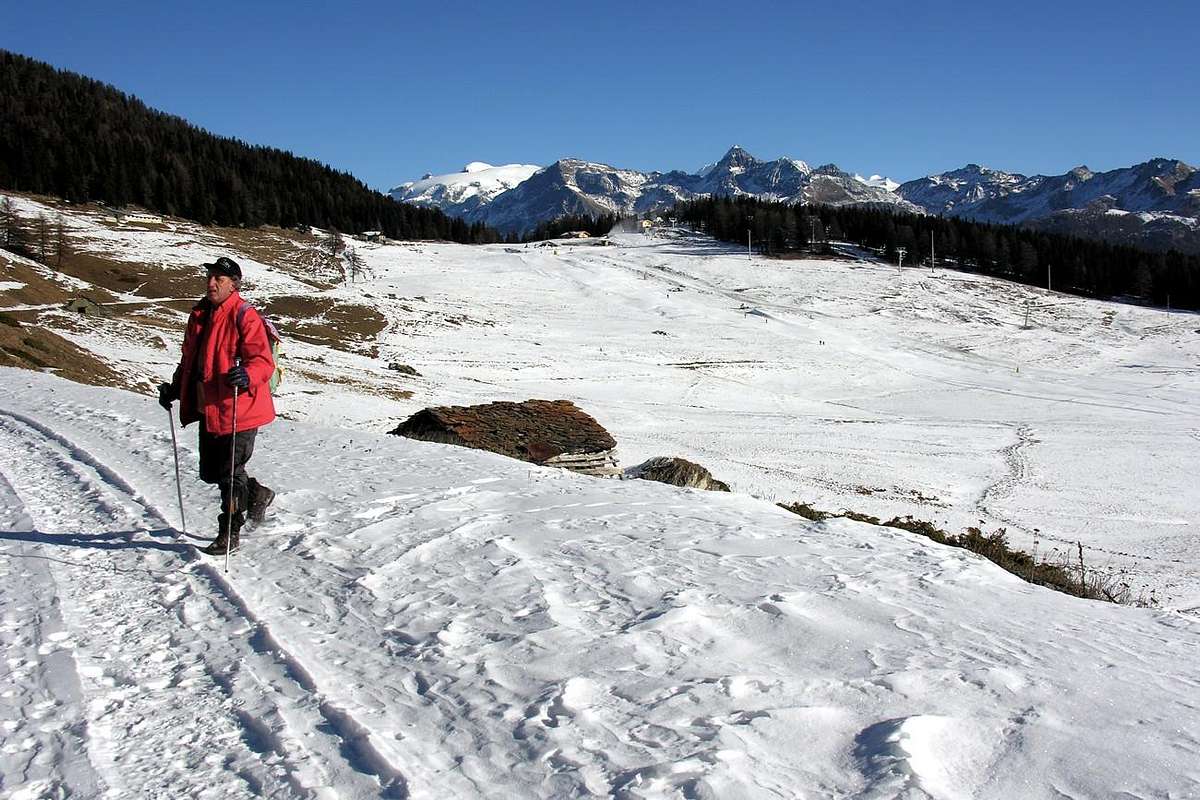
Getting There
By car:- From TORINO, MILANO, etc: Motorway A5. Exit at IVREA or Quincinetto (PIEDMONT).
From IVREA Town: in West (Southern side) to Pont Saint Martin, Verrès, Châtillon, Nus, Aosta in West and to Gignod, Valpelline, Oyace and Bionaz Municipalities in Northeast from Aosta Town. From Courmayeur Resort: in East-southeast (Norheastern side) to Aosta, Gignod, Valpelline, Oyace, Bionaz Municipalities in Northeast and to Nus, Châtillon, Verrès, Pont Saint Martin Communes to South-southeast.
 |
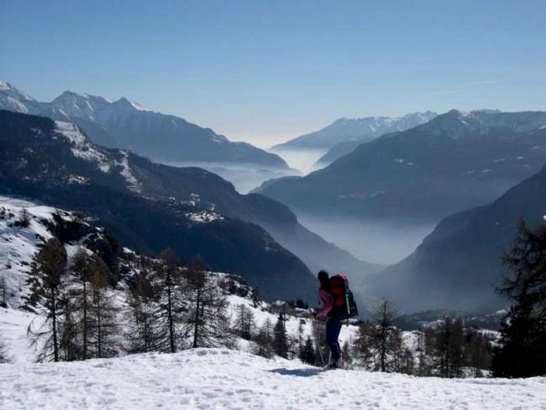
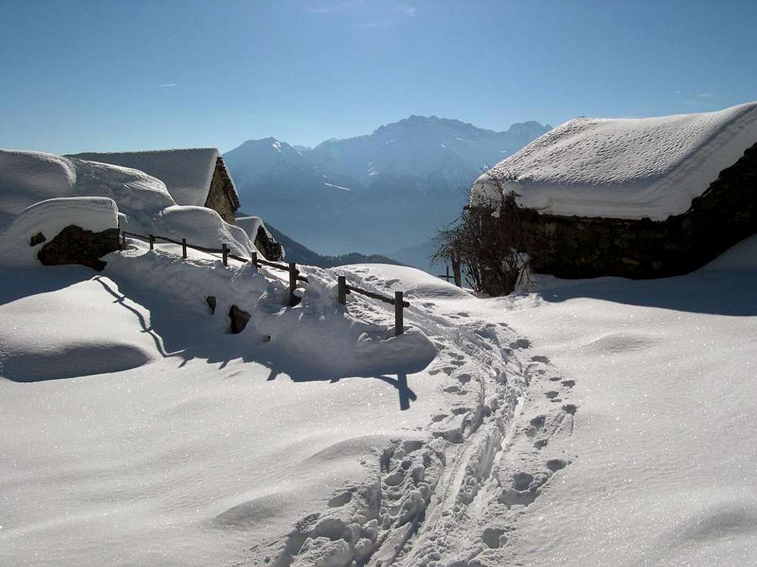
- Northeastern Side: From Valpelline towards Valpelline Valley From Valpelline (580m), with Regional Road, to Oyace Commune (1.316-1.377m); from this to Northern and Southern Vallons (Brison, Crête Sèche, Vertsan, Comba be la Tsa, Comba du Grand Chamin, Comba des Lacs and Comba d'Orein up to the entrance on Petite/Grande Murailles/Valpelline Hill Vallon. From Oyace (1.377m), with R.R., to Bionaz Commune (1.612m) and Places Moulin artificial Dam (1.970/80m) and Northern and Southern Vallons (Bella Tsa, Combes de Valcornière, Livourneaz, Montagnayes; Vessonaz, Verdonaz, Vieille, Verdzignolaz, Arpisson, Gran Comba and Roisan-Praperiaz Basin.
 |
- Southern Sides: From Nus, Châtillon, Verrès, Pont Saint Martin Municipalities towards Saint Barthélemy, Valtournanche, Val d'Ayas and Gressoney Valleys
- From Nus (960m), with Regional Road, to Lignan-Saint Barthélemy Municipality; from this, through various dirt roads and numerous paths, (1.628m) up to the Becca de Luseney (Luca Reboulaz Bivouac (2.575m neighbor the Luseney Lake), Livourneaz Pass 2.840m and Cian Fenêtre (2.736m)). From Châtillon (549m), with Regional Road, to Valtournanche and Breuil Cervinia Municipalities (2.004m); from this, through paths in West, to Tsan Bivouac, Lake (2.489m, 2.441m), Cignana Lake (2.149m) or, through dirt road and paths more in East, to Gran Sometta (3.166m). From Verrès (549m), with Regional Road, to Champoluc and Saint Jacques Communes (1.697m); from these, path in West, to Grand Tournalin Refuge (2.544m). From shelter, through path in North, to Mont Brun (2.895m); also in valley floor to Lake Bleu (2.211m) and in East to Pinter Pass (2.776m). From Pont Saint Martin (345m), with Regional Road in Gressoney Valley, to Gressoney La Trinitè (1.468m); from this, through dirt roads and paths in East, up to the Upper Bettolina Pass (3.058m); also in West to Gabiet Loch (2.363m) and from this, with path, to Corno del Camoscio (3.026m).
- From FRANCE: through the Mont Blanc Tunnel to Entrèves-crossroads to Vény/Ferret Valleys - Courmayeur. By Little Saint Bernard Pass, closed since November until half May to La Thuile Valley - Pré Saint Didier - Courmayeur. It is not necessary to take Motorway A5: you can drive on SR.26, in the direction of AOSTA - IVREA - TURIN.
- Aeroporto "Corrado Gex" Saint Christophe (Aosta).
 |
Towards Valpelline, Buthier Torrent & Places Moulin Dam

Northeast Side (From Valpelline-Arsines to Places Moulin Dam at the beginning of Valpelline Upper Valley)
2) - Basic Itinerary n° 1: from Semon, Chez la Ville, with path in North, towards Bas Brison (1.545m), Dzone Zoon (1.695m) small Villages to Brison l'Arp (2.195m; F+; 3h'15/3h'30), below Mont Berrio (3.077m)/Punta Fiorio (3.332m).
3) - Exceptional Route n° 1: from Semon, Brison l'Arp, crossing Brison Torrent in homonym Comba, to Brison or Breuson Pass (2.194m; F+; 3h'45/4h'00), between Pointes d'Ollomont (2.721m)/Mont Faceballa (+; .516m); descent West possibility to Berrio Damon Alp (1.982m) in Berrio Comba, above Ollomont (classic local crossing for inhabitants).
4) - Minimum Route n° 2 and Variant n° 1: from Oyace-Saint Michel Commune (1.316m), with path in North, towards Sergnan (+; 1.385m) Village, fork 1.467 meters to dirt road, Peson Alpage (1.661m; T; 1h'30/1h'40), neighbor Varère Torrent and below Pointe Fiorio (3.332)/Mont Clapier (3.427m)/Central Mont Morion (3.505m) great mountain range. Little Variant n° 1: from Saint Michel Fraction, with dirt road in Northeast towards Crétaz, Gallian, Sergnan (+; 1.385m)/Chez les Bredy, Close (1.457m) Villages to Peson Alp (T; 1h'20), near Varére Torrent and below Mont Morion.
6) - Basic Itinerary n° 2 with Eastern Variants: from Dzovenno to Ruz Village (1.700m) with Municipal Road; from this last towards Primo Pasture, through dirt road with old path-muletrack concomitant to alternative 1.950 meters around. With path on wooded promontory directly in North-northwest to Berrio di Governo (Gouvernement isolated Boulder) and, through short diagonal North-northwest, to following Crête Sèche Refuge (2.389m; E/F; 2h'45/3h'00. Eastern Variants: or with path more in East from a) - alternative 2.074 meters on dirt road to fork (2.249m; source into a slab); also from b) - Berrier Alps, with long diagonal path in West to source 2.249 meters, Berrio di Governo, shelter.
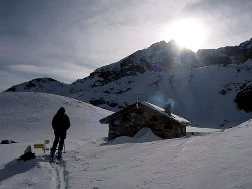
8) - Variant n° 2: from a) - Crête Sèche Refuge, through path in North along thetorrent, also from b) - Spataro Bivouac, with small path in Plan de la Sabbla (Sand Tableland) and crossing the torrent in altitude around 2.650/70 meters, with East direction towards Plateau de Crête Sèche in quota 2.917 meters; progressively tourning South, through snowfields, debris, steep moraines in initial part and rotten blocks on terminal to Berlon Pass (3.009m; M; 3h'15/3h'30 from shelter; 2h'30/2h'45 from bivouac), between Pic de Chardonney (3.284m)/Mont Berlon (3.132m).
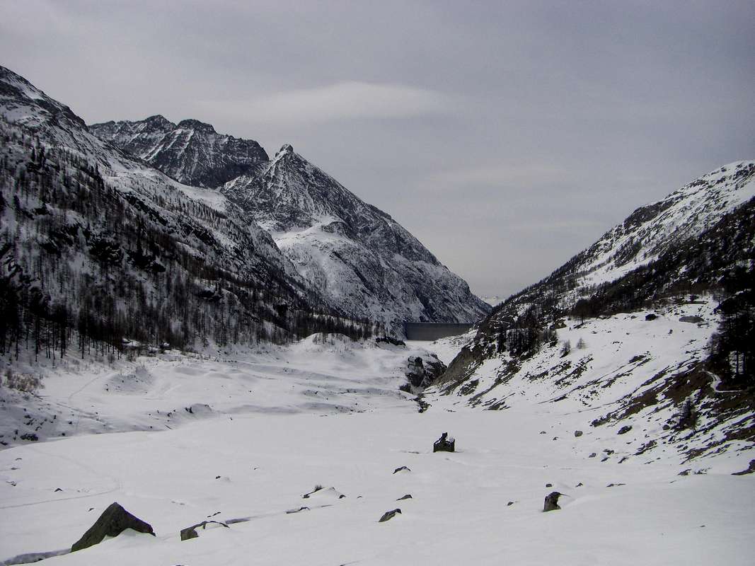
10) - Minimum Route n° 4: from Bionaz Municipality, with Regional Road, to Ferrère (1.687m) small Village, alternative 1.642 meters to Chami(e)n Hamlet (+; 1.714m); from this, through dirt farms road towards fork 1.984 meters and crossing on bridge Grand Chamin Torrent, to Grand Chamin Pastures (2.010-2.023m; source; E/F; 1h'30/1h'45).
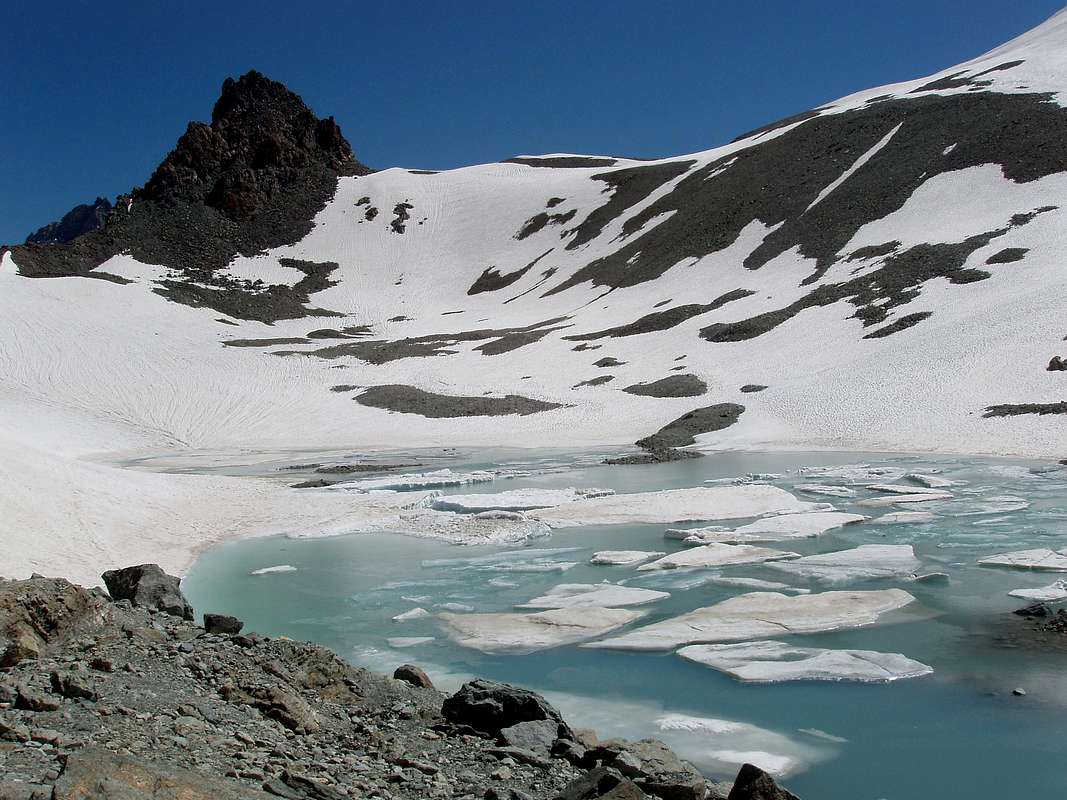
11) - Basic Itinerary n° 4: from Chamin Village neighbor Déré le Melet Alpage (1.690m), through dirt road in North, along the very old path (after the construnction of road, now in ruins completely covered with wild vegetation, altogether and fully abandoned) and easily crossing the Grand Chamin Torrent, to Grand Chamin Pasture (2.010m; source 2.023m); continue North towards Crottes Alp (2.183-92m) up to the fork 2.292 meters, below Berger de la Sassa (Rocky Shepherd above the walloon; 2.772m). From this, tourning East-northeast, with small path before along the moraines neighbor torrent, after on edge of the same over the Sassa Torrent, through a more steep terminal part on lateral right (North) moraine of the Oriental Glacier, to Ceresa/Sassa Bivouac (2.973m; M+; 6h'15/6h'30; water source about 100 meters to Northeast), sited on a rocky promontory underlying the large glacial basin formed by Becca Labié (3.463m)/Becca de la Sassa (3.497m)/Pointe de la Bouetta (3.540m)/Little Becca Blanchen (3.591m)/Grand Becca Blanchen (3.679m)/Sassa Pass (3.256m)/Becca des Lacs (3.470m)/Nez (Nose) Bovet (about 3.330m)/Mont Rouge or Becca Bovet (3.443m).
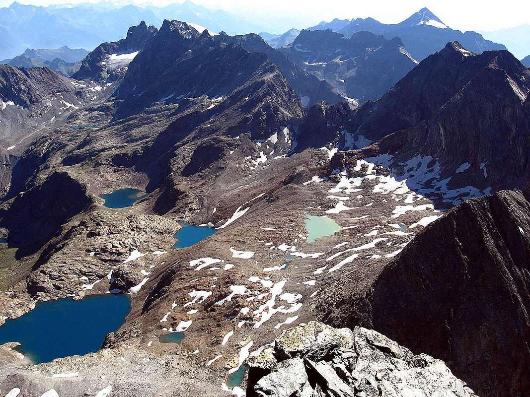
12) - Variant n° 3: with Main Road to Places Moulin (1.970/80m; parking under the front of great Dam); from this towards fork 2.101 meters, path in North, towards Mea (2.320m), Setive (2.446m) to Plan Vauon (2.578m) Alps; from this last, with path in East, to a) - Lakes du Mont Rouge and Têtes (2.628m), below Punta Balliano (2.791m)/Pointe Ollietti (2.981m). Changing direction in Northeast, to Loch Long (2.720m); also b) - from Plan Vauon Alp directly continue in North to the same last lake. From Lake Long, with short path in North, briefly to to Lac Mort (Death; 2.843m; M+/D-; 3h'30/3h'45), in center of Basin of Lakes and below the semicircular range P. Balliano/Punta Ollietti/Pointe Marguerettaz (3.146m)/Pointe Nourissat (3.320m)/Becca Bovet of Mount Rouge (3.443m)/Nez Bovet (3.330m)/Becca des Lacs (3.470m)/Aiguilles Rouges des Lacs (3.460m)/Aiguille Blanche (3.440m)/Pointe Gerlach (3.003m) in Comba des Lacs.
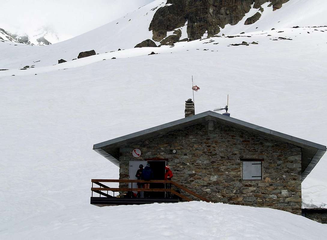
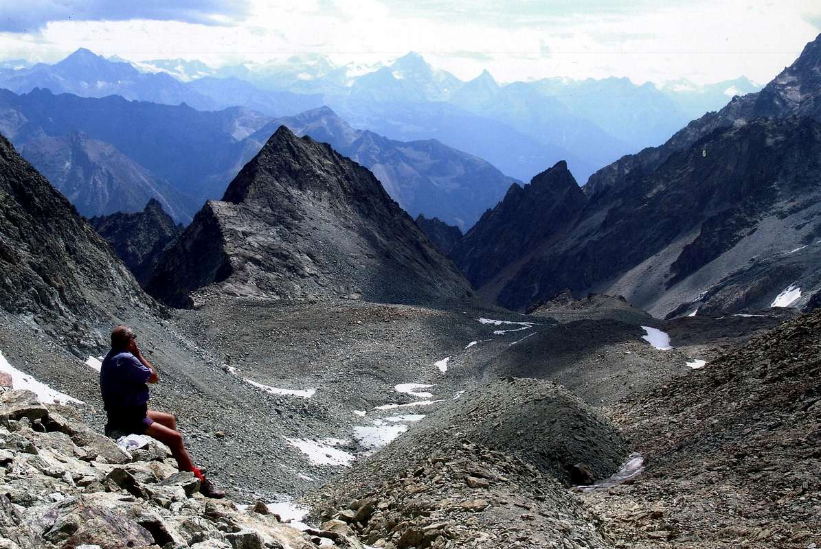
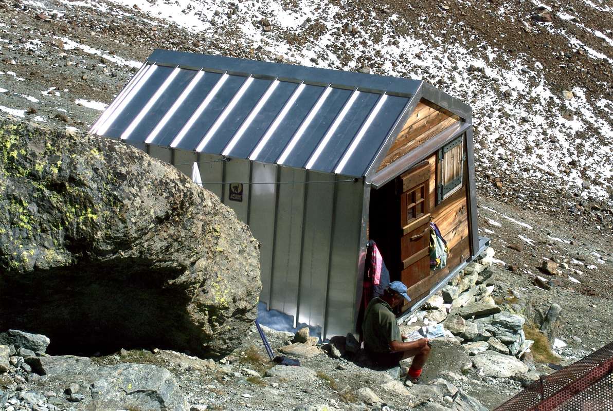
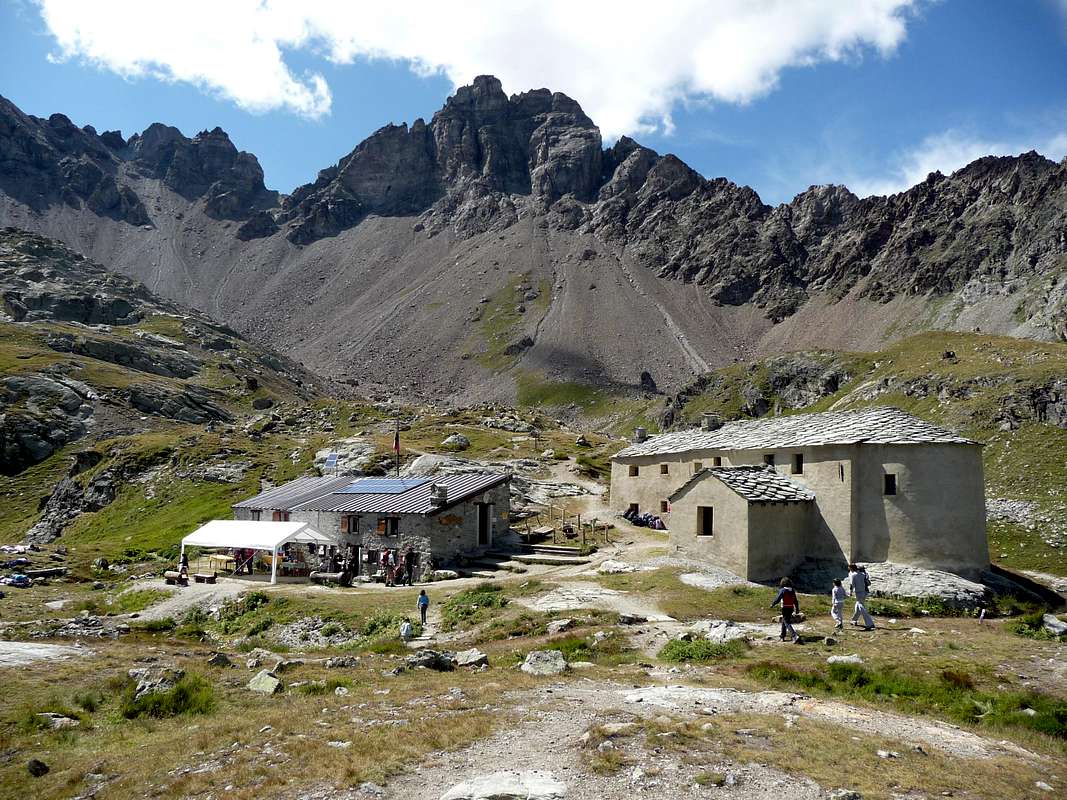
13) - Basic Itinerary n° 5: from Places Moulin, through dirt road in North, towards forks 2.075m, 2.101 meters, Grésime (2.128m), Pessaou (2.117m; source) small wooden footbridge 2.116 meters on secondary torrent; from this point, with path, towards Low Orein Wood, Bas Orein (2.140m) Alpages. (* Variant: also from parking, through lower path along North shore to Novailloz Alp nearby La Lé Chapel (+; 1.988m) at the end of dam). Leaving East-southeast the path to Prarayer Refuge, continue in North towards Praz Modzon Damon (2.153m), Grand Orein (2.165m), Garda (2.216m; source) Alpages to Grand Place (morainic tableland) reaching, over Orein Torrent, the little Orein Lake (2.460m), under the same. Doubling West the promontory 2.721 meters to fork 2.510 meters and, path in Northeast along the Collon Torrent, to following rocky promontory with Nacamuli Refuge/Col Collon Bivouac (2.828m, 2.816m; D; 3h'30/4h'00).
15) - Basic Itinerary n° 7: from Places Moulin towards Northern Shore of Dam, Prarayer Refuge, small bridge on Valpelline Buthier Torrent neighbor Praz Raye (2.021m), Plan de l'Arp (1.969m), Valconière Pasture (2.170m; source), at the entrance of homonym vallon and with path along the torrent, to Chardonney Alp (2.364m; EE/F+; 2h'45/3h'00), below Valcornière Pass (3.075m)/Dome de Cian (3.348m) and between Dome/Chavacour/Mont Redessau Glaciers.
16) - Variant n° 4: from Places Moulin parking towards Northern Shore of Dam to Prarayer Refuge at the end of the same; from shelter, through a small wooden bridge on Valpelline Buthier Torrent near and in East of Praz Raye (2.021m) and towards Plan de Prie Wood, Plan de l'Arp (1.969m), Mont Charvin Wood, above Southern shore of dam to Cote de Livourneaz, Lake (2.375m) at the entrance of homonym vallon. Continue in South on walloon floor to Tsa (Upper) de Livourneaz Alp (2.414m; EE/F+; 3h'45/4h'00), below Cima Livournea(z) (3.286m)/Pass (2.841m) and Glacier.
17) - Basic Itinerary n° 8: from Bionaz to Ferrère with Main Road; from this, through Municipal to Puillayes (+; 1.622m). Towards l'Invers de Puillayes Wood, fork near Bachal Pasture (1.899m), sources 1.930, 1.974 meters, Arp Damon (2.019m), near Forest Rangers Bivouac, along Montagnayes Torrent to Tsa de Couloz-Aquelou-Avoley Alps (2.187m, 2.382m; EE/F+; 3h'45/4h'15, below Montagnayes Pass (2.903m)/Becca del Merlo (3.297m)/Cima Franco Nebbia.
19) - Basic Itinerary n° 9: from Oyace, before with Main Road to Close Pasture (1.457m); after, through path Alta Via number 1 towards Betendaz (1.356m), Primaz (1.410m), Clos Pastures (1.525m) to Arp Nouva (1.791m) and Arp Vieille (1.944m) Alpages. From this, through path along Vessonaz Torrent, to Ardamun Damon Alp (Upper; 2.207m; EE/F+; 4h '15/4h '30), below Mont Pisonet (3.207m)/Vessona Pass (2.788m)/Mont Faroma (3.070m), in high Comba Vessona.
20) - Minimum Route n° 6: from Oyace-Voisinal (1.309m), Grenier, Vernoce Villages (1.257m), Fontaine (1.243m) to Verdona(z) Pastures (1.617m E/F; 1h'15/1h'30), below Becca de Nona (2.898m) and Little Becca of Nona (2.842m).
21) - Basic Itinerary n° 10: from Voisinal, Grenier, Vernoce (1.257m), Villages or little Fractions neighbor Oyace Commune (1.377m), through short in asphalt Municipal Roads and path in South towards Fontaine, Verdona Pastures, Broiller Alp (1.889m), unnamed alpage (2.141m) and Tsavanne Alp (2.165m) to Tsa de Verdona Alp (2.317m E/F; 4h'30/5h'00), below Vamea Pass (2.591m)/Gran Coutà (2.862m)/Saint Barthélemy Hill (2.646m) in Comba Verdona(z).
22) - Basic Itinerary n° 11: from Valpelline Center or from Les Ansermin-Gont, through Municipal Road, towards two small bridges 942m, 999 meters to Montcorvé Village (1.028m), cross 1.100 meters, Verdzignolettaz (1.379m; source), Chez-Charvin (1.408m), Curtellet (1.594m), Verdzignolaz (1.952m) Pastures to unnamed alp (2.056m; E/F; 4h'00/4h'30), below Arpeyssaou Pass (2.492m; near Lière Bivouac 2.423m; source)/Becca Conge (2.957m)/Fouillou Hill (2.437m).
23) - Basic Itinerary n° 12: from Valpelline-Prailles/Ville Grand Combin (965m), crossing the small bridge up Valpelline Buthier and through path, to Roncéaz Pasture (1.095m), fork 1.475 meters with dirt farms road from Grangette Dèsott, Planes (1.512m), Verney (1.730m), Arpisson (1.838m), Porillon-Alpe-Neuve (2.016m) to Pouillou Alpages (+; 2.087-92m; E/F; 4h'00/4h'30), below Becca Novailloz or Noail (2.587m)/Fouillou Hill/Senevé (2.928m)/Tête d'Arpisson (2.856m).
24) - Basic Itinerary n° 13: from Valpelline-Prailles/Ville Grand Combin, small bridge up Valpelline Buthier and through path, to Roncéaz Pasture, fork 1.475 meters with dirt road, Planes, Verney, Chanté de Meye (1.854m; source), crossing Arpisson, Val Freida and Gran Comba Walloons, to Rovon (1.744m) Alpages, Prapéria(z) Alps (1.737m; EE/F+; 3h'30/3h'45), below Becca di Roisan (2.546m)/Becca di Blavy (2.582m)/Becca di Viou (2.856m) Southern watershed.
26) - Minimum Route n° 7: from Roisan Commune-Crétaz (905m), through dirt road, to Champvillair (902m), winding road above Baravex (884m), Bérrio Némoz (1.141m) Pastures to Blavy lttle Hamlet (+; 1.471m; fountain; T/E; 2h'45/3h'15), below small range from Becca of Roisan/Becca of Blavy (2.546m)/Becca of Viou Western watershed. 27 - Exceptional Route n° 3: from Praperia(z) Alp (***important and useful ENDORSEMENT can also be reached from the Village of Blavy (1.475m) above the Communes of Roisan and Aosta via a detour from the farms dirt private road to the Alpages of Viou), with path into forest to Becca of Roisan and through moraines and blocks in more steep terminal part on Southwest Slope (EE/M+; 3h'20/3h'40 from ancient alpage; 4h'30/4h'40 from Blavy Village).

Saint Barthélemy Valley with Astronomical Observatory & Luseney Becca
Northeastern Side (from Monte Faroma to Becca of Luseney Groups)
2) - Exceptional Route n° 1: from Fontin, through path and crossing two small secondary torrents in homonym Comba, to Collet Alp and Pass (2.251m, 2.500m) through Soutern slope and on North-northwest Crest to Becca of Aveuille North Antesummit (about 2.575/80m; * from this point it is best to remove the snowshoes continuing trough the rocks on edge of the crest), Summit (D+; 3h'45/4h '00; 6h'15/6h '30 from Effraz), at the end of watershed.
4) - Minimum Route n° 2: from Clémensod Village (1.655m), through path in Northwest along Chavalary Torrent, towards Pléo(u)les Désott, Damon (1.898m) to Chaleby Alp, through dirt road and paths (1.952m T/E; 1h'00/1h'15).
6) - Exceptional Route n° 2: from Léchy Hill, between Mont Faroma/Grand Pays, easily to Mount Grand Pays, through Northern Slope and North Crest (2.585m; EE/F+; 0h'30 from hill; 6h'00/6h'15 from Effraz or Clémensod Hamlets).
8) - Basic Itinerary n° 4: from Lignan (+; 1.633m; fountain; Astronomical Observatory), through path in North-northeast, towards Saguignod Hamlet (1.699m), Place Damon (1.910m), Fontane (2.087m), Tsa de Fontaney (2.307m) upper Alpages to Salvé Hill (2.569m; E/F+; 5h'30/5h'45), between Chaleby Hill/Mont Morion and to Cuney Sanctuary.
10) - Basic Itinerary n° 4: from Lignan, through Municipal Road in Northeast, towards Vénoz (1.771m), Le Cret (1.791m), La Combaz (+; 2.010m), Larset (1.930m), nearby Porliod (1.879m), small Villages; from this last to Praz de l'Arp (1.978m) and Plaisance (2.037m) Pastures, through dirt farms road, to Tsa de Fontaney Alp (E/F+; 5h'20/5h'30).
12) - Exceptional Route n° 3: from Tsa de Fontaney or from Chavalary Alpages, through small traces on grassy and debris, to Mont Morion (2.710m; EE/M+; 2h'15/2h'30), easily through South Crest and South-southwest Slope.
14) - Exceptional Route n° 4: from Lignan Hamlet, through private farms dirt road, to Larset and Le Sarreun Alps; from this last, doubling with path in Northeast/West-southwest the Mont Morion, to Salvé or to next Chaleby Passes, through small path and traces on Northeastern Slopes (EE/F+/M-; 5h'30/6h'15), in Cuney Vallon with Sanctuary.
16) - Exceptional Route n° 4: from Cuney Sanctuary with path Haute Route number 1 in Northeast to Luseney Lake and Bivouac (2.575m); from shelter to Luseney Alp (2.588m) and Livourneaz Pass (2.840m; EE/M+/D-; 4h'30/5h'30).
17) - Basic Itinerary n° 6: from Nus (960m) towards Blavy Hamlet (1.056m), Val Dessus (1.268m), Les Fabriques (1.411m), Verney (1.586m), Les Fontanes (1.664m) small Villages or Pastures, through Regional and Municipal Roads; from this, in North with path and dirt road, towards Pierrey (1.910m), Tsa de Champagne (2.304m), Tsa de Pierrey (2.333m), Tsa de Voyoux (2.316m) Pastures, fork around 2.100 meters to 1) - Crottes Alp (2.389m) and overhanging Bivouac Luca Reboulaz (+; 2.575m; EE/M-; 5h'30/6h'30). Also from Tsa de Voyoux Alpage or from La Servaz Refuge, with tour more in North-northwest, to 2) - Ollière (2.009m) and Praterier final Alps with preceding route (2.066m; same times).
19) - Exceptional Route n° 5: from Les Fontanes Pasture, through path in North, towards Pierrey, Tsa de Champagne to Tsa de Pierrey Pastures; from this, crossing a torrent and through path on Southwestern Slope to Cime Bianche Northern Summit (+; 3.009m; EE/M/M+; 5h'30/6h'30), between Becca des Crottes (3.004m)/Mont Miracle (2.601m).
20) - Basic Itinerary n° 7: from Les Fontanes, Les Prèles Alps, dirt road-path in East, to Fenêtre Pass (2.162m; EE/F+; 2h30/2h'45), between South Crest of Mont Meabé Antesummit (+; 2.566m)/Mont de la Fenetre (2.304m).
22) - Exceptional Route n° 7: from Nus, with Regional Road, to Blavy Hamlet (1.056m); from this, leaving left the same to Lignan-Saint Barthélemy Villages, continue right through dirt road before in Northeast, after North. Reached Le Noueus, Praille Pastures (1.181m, 1.242m), to Mont de Pesse, always dirt road or path in East (1.798m). From this traverse on Southwestern watershed and Southern slopes to the above Mont Ander (1.931m; E/F+; 3h'15/3h'30).
Valtournanche or Marmore Valley to Matterhorn
Western Side (from Bornes Hill to Cignana Lake)
4) - Basic Itinerary n° 2: from Torgnon (Pecou Fraction), Bagnoy (1.658m), Chaté (1.676m) Villages, fork 1.697 meters, Chatelar Dèsott Pasture (+; 1.791m); from this, through Municipal Roads, to, with path, Mont de Chatelar (+; 1.848m). In North, through dirt roads, towards Chatelar Damon (1.874m), Brusoney (1.895m), Betsoloz (1.895m; source), Courthoud du Meitin, Damon (2.059m, 2.068m) Pastures, Crot des Labies (2.356m), Tsomioy or Chomioi Alpages (2.450m; E/F+; 4h'00/4h'15), below Southern slopes and Eastern Crest of Cima Bianca or Cime Bianche (3.008m).
5) - Variant n° 1: from Alp to Chomioi Pass (2.603m; EE/M-; 0h'45/1h'00), between Cima Bianca South/Mont Miracle.
6) - Exceptional Route n° 2: from Chomioi Alp, through small path and traces, toward point 2.755 meters on Eastern Crest and through the Northern side of the same, always small path and traces, to Southern Antesummit (2.972m); from this with North crossing on South rocky and easy Crest to Cima Bianca North Summit (EE/D-; 2h'30/2h'45 from Alp; 6h'30/7h'15 from Torgnon Commune), between Tours des Crottes (2.859/60m)/Monte Miracolo (2.601m).
7) - Basic Itinerary n° 3: from Betsoloz (1.895m) towards Courthoud du Meitin, Damon, through dirt road, to Chavacour Hospice (2.058m), Crot de Loup (2.159m) Alps; from these to Tsan Bivouac, with path, Lake and Cabane (2.489m, 2.441m, 2.479m; E/F+; 2h'45/3h'00), below Pointe de Chavacour (3.191m)/Pointe Cian or Tsan (3.322m).
Eastern Side (from Motta de Pleté/Gran Sometta to Portola Hill)
10) - Exceptional Route n° 4: from Valtournanche-Crétaz (1.515m; parking) with Haute Route number 1 towards unnamed pasture 1.537 meters, Promindoz (1.845m), Cheneil Village (2.104m; parking. Hotel Panorama Bich 2.097m. * Also through Municipal Road from Valtournanche-Evette (1.578m) to Cheneil). From parking under the Village, through path in Northeast, towards Lezard (2.131m), Aran (2.325m), fork neighbor Ledzan Damon (2.688m) Pastures and Alps to Becca d'Aran, through grassy Northeast Slope with small path and traces in final part (2.953m; M-; 3h'30/4h'15 from Cheneil Village; 6h'00/6h'30 from Crétaz Fraction), between Dents d'Aran (3.074m, 3.068m)/Mont de Molar (2.502m).
Ayas or the Valley of Evançon Torrent to Champoluc & Breithorns
between Corno Vitello/Punta Valnera. From Estoul, towards Fenillettaz, fork 1.871 meters, Moucherulaz Pasture (1.926m; source), with path crossing Moucherulaz Wood, cross 2.335 meters, source 2.381 meters to 10) - Estoul two Lakes (2.434m, 2.451m; E/F; 3h'00/3h'15), under Punta Valnera/Bocchetta d'Eclou (2.522m).

Gressoney by Walser or Lys Valley to Monte Rosa
Eastern Side (from Corno del Camoscio to Costey Village in Giassit Vallon)


5) - Minimum Route n° 2: from Gaby Municipality (1.042m), through dirt road in East, to Chanton (+; 1.444m), Niel Villages (+; 1535m; T/F; 2h'40/3h'00), below Punta Pianeritz (2.540m)/Lazoney Hill (2.395m) and Lazoney Summit (2.579m)/Niel Bocchetta (2.430m)/Punta Tre Vescovi (2.501m)//Mologna Great and Little Mologna Hills (2.364m, 2.205m).
6) - Basic Itinerary n° 2: from Fontainemore (760m), through dirt road in East-northeast, towards Espaz, Pian Pervero (895m), Chucal, Clapasson, Pillaz (1.250m), Cloz (1.356m) Pastures, fork 1.303 meters, Tronc (1.435m), Cleva Bella, Matta, Vargno/Vargnit Alpages to Vargno Lake (1.670m; E/F; 3h'30/4h'00), below Punta Lei Long (2.326m)/Oropa Hill (2.261m)/Monte Rosso (2.374m)/Mont Mars (2.615m)/Punta Leretta (1.997m), in Nature Preserve.

Campings
Remember that free camping is forbidden (except for emergency reasons, over 2.500m, from darkness until dawn).Mountain Condition
- Meteo: you can find all the needed informations at the official site of the Valle d'Aosta Region:
- Valle d'Aosta Meteo
Important Information
- REGIONE AUTONOMA VALLE D'AOSTA the official site.
- FONDAZIONE MONTAGNA SICURA Villa Cameron, località Villard de la Palud n° 1 Courmayeur (AO) Tel: 39 0165 897602 - Fax: 39 0165 897647.
- A.I.NE.VA. (Associazione Interregionale Neve e Valanghe).
Useful numbers
- Protezione Civile Valdostana località Aeroporto n° 7/A Saint Christophe (Ao) Tel. 0165-238222.
- Bollettino Meteo (weather info) Tel. 0165-44113.
- Unità Operativa di Soccorso Sanitario Tel. 118.