
-
 8624 Hits
-
 70.36% Score
-
 1 Votes
|
|
Trailhead |
|---|---|
|
|
Custer |
|
|
Spring, Summer, Fall, Winter |
|
|
6500 ft / 1981 m |
Getting There
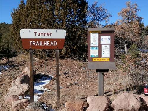
Tanner Trailhead
Parking for Tanner Trail is clearly marked. There is an information board at the trailhead with hiking and camping information, as well as local regulations. There are no fees to use the area and there are no facilities in the area. Wildlife is abundant including elk, deer and turkey. Due to the mild winters in the Arkansas Valley, Tanner Trail is usable nearly all year round.
The Trail
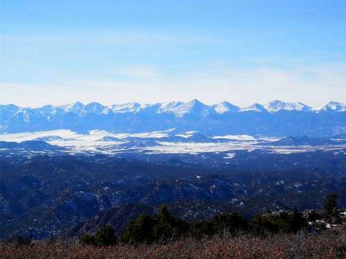
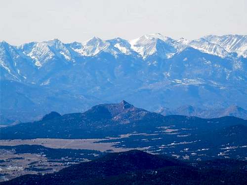
Sangre De Cristo Mountains
Photos
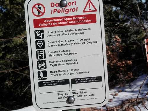
Unsafe Mine Shaft Warning
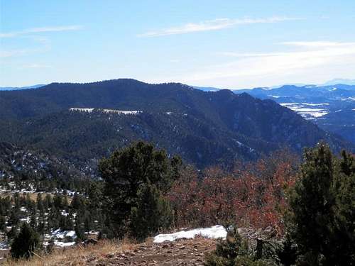
Curley Peak from Tanner Peak
Sangre De Cristo Mountains