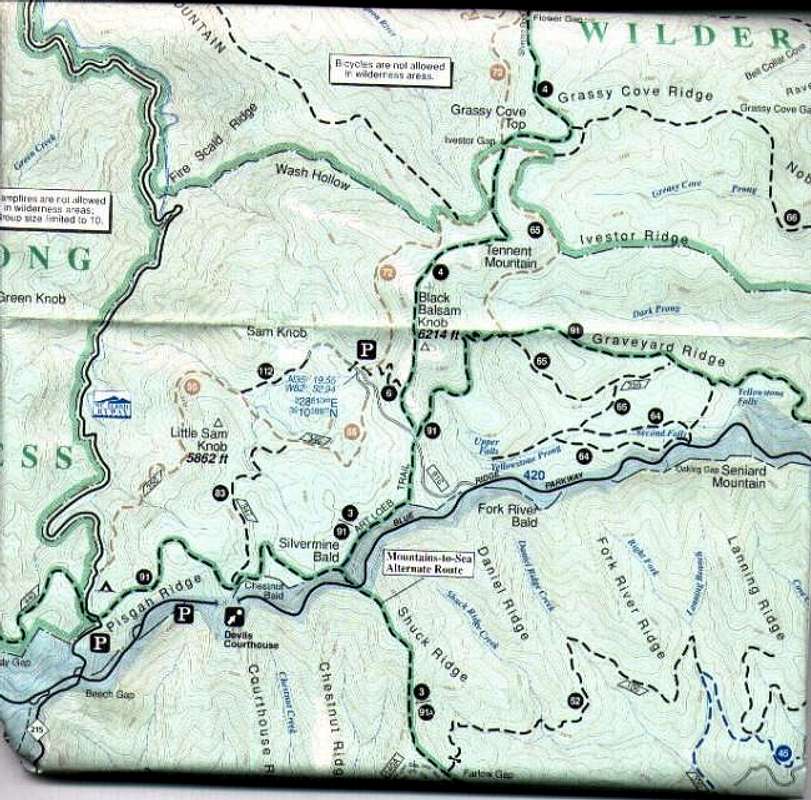
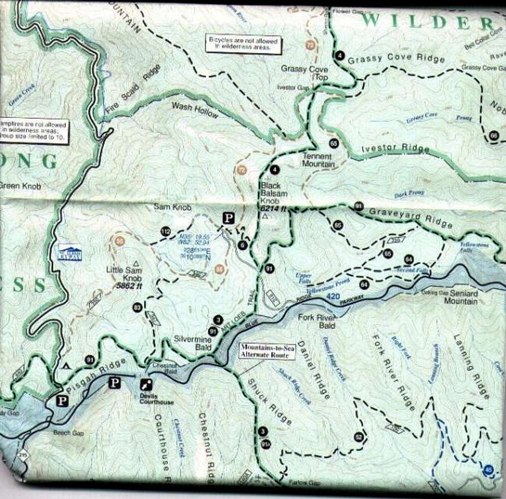
This is from the Pisgah Ranger District map by National Geographic Trails Illustrated.
Because of its large size I had to divide it into northern and southern halves. This is the SOUTH half. It shows the Art Loeb Trail (highlighted in GREEN) from the Black Balsam Trailhead to Flower Gap.


