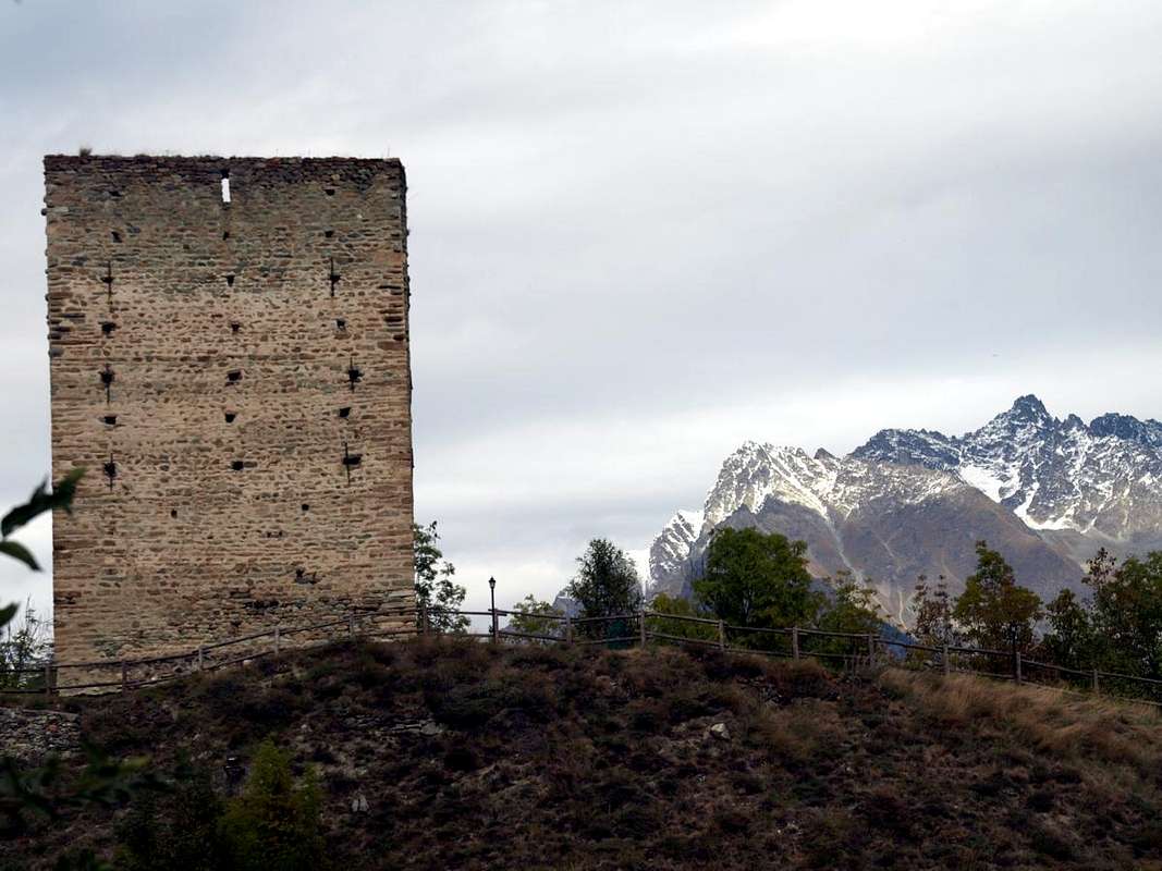
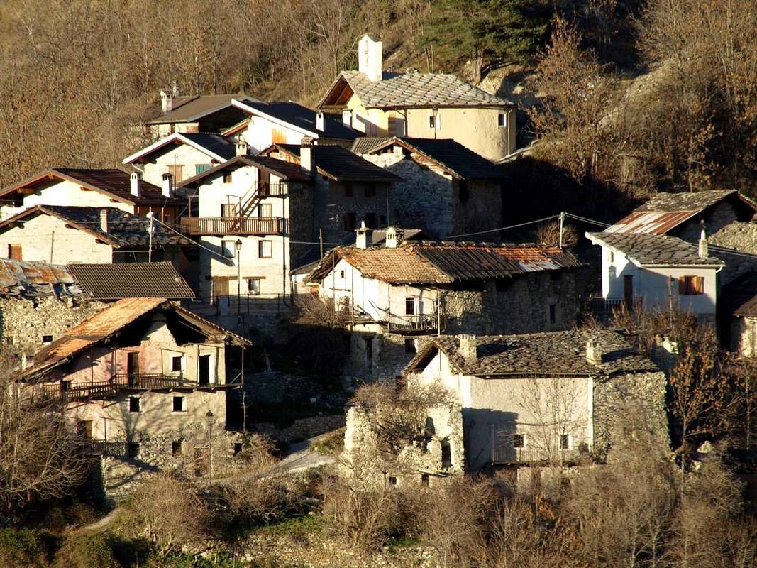
é un Villaggetto appena al di sotto di quello di Blavy, a sua volta alle pendici dell'antica Becca di Viou e sopra la roccioso-boschiva Collina di Aosta, conosciuta come Quota B-P, ovvero Baden Powell. Sovrastante il Villaggio di Busseyaz e giusto al confine tra i Comuni di St. Christophe ed Aosta. Lì vivevano gli
, come dimostra un Tumulo eretto per un loro Principe, molto prima che i Romani costruissero
. Almeno fino dai tempi di
, lor primigenia Capitale (1158 a. C.). Avevano visto, passare attraverso colli ed impervi passi,
.
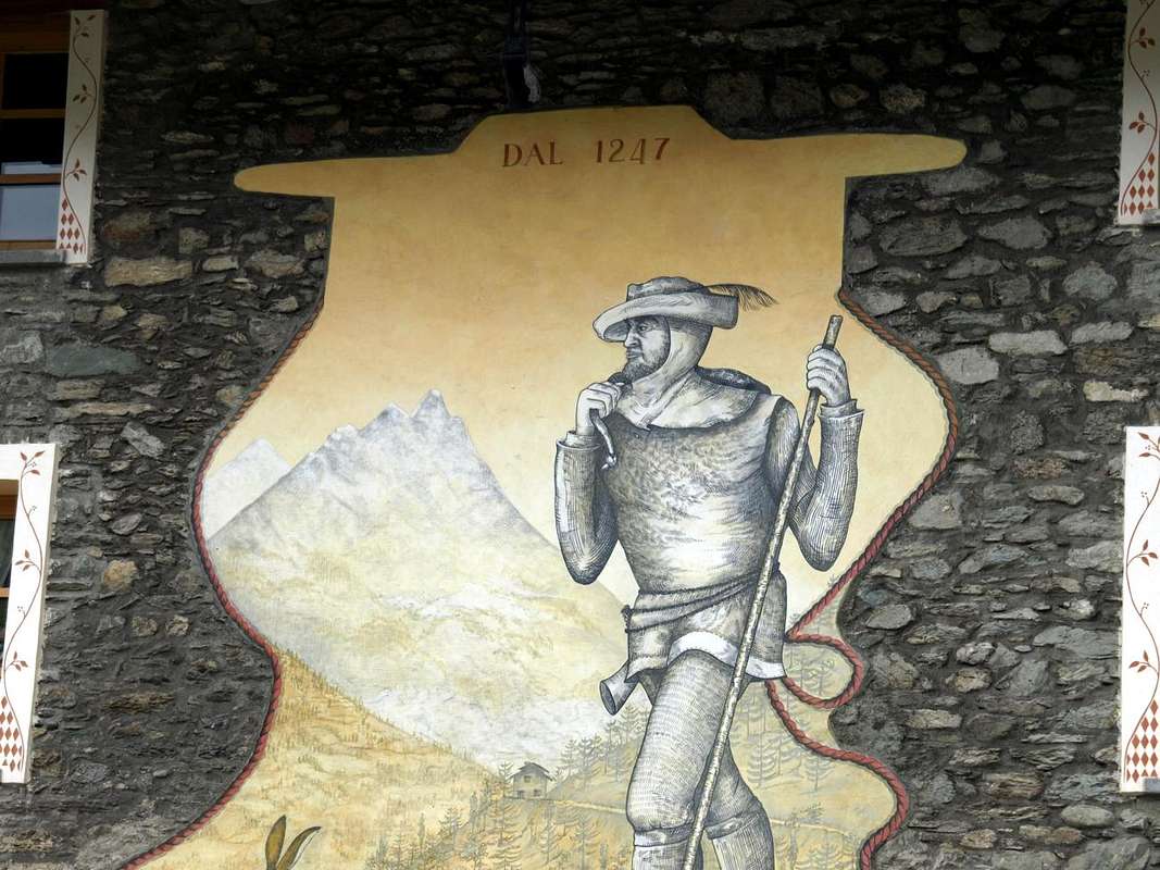
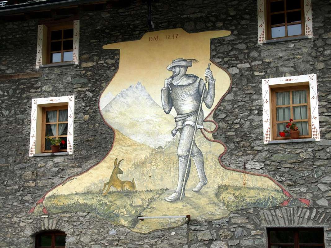
tra Amsterdam e le Venezie. Dal passo ed essendo solo, direi nessuna delle due. Forse solo un Contrabbandiere od un Brigante che arrivando dal San Bernardo passava a La Clusaz per rifocillarsi. Punendo gli uomini con il lungo bastone ed ammaliando le donne con il suo arguto pizzetto e la piuma di gallo cedrone sul cappello calato sopra il passamontagna. Ma anche un Esperto Esploratore del Passaggio delle Alpi, come conferma il contesto e come dimostra il corno di caccia appeso alla sua cintola lasciva sui fianchi.
All this is what transpires from the detail of the first picture, but if you look better to the overall environment in the second could be a Powerful Man of this Era.Walking around like a forerunner Hiker, as demonstrated by the roe of deer eyes watching him so fearful and alerted but also with due subjection to a high distinguished rank.
Or simply a local inhabitant downhill from Etroubles and surroundings to the Town of Aosta. From tight and sure-footed, which descends towards the plain passing directly to Gignod and bypassing safely through the narrow passage of the closed or La Clusaz and no need to take the
Via Francigena just above or on the other inside and from Roisan Saint Christophe and the
Napoleonic Route. Incidentally the General came from the Great along with 35,000 men, 3,500 horses and 40 artillery pieces and passing since 14 until 20 May 1800 it was forced to reason contingent to widen themselves like a fan, as he had done 2000 years before the Army of Hannibal crossing several hills, to cover their backs, and then spread to Rome. To check and stock up on all the near villages.
As we do, but proceeding to the opposite slope and in the contrary route ...
![]()
Tutto ciò é quanto traspare dal dettaglio della prima foto, ma se osservate meglio il contesto generale nella seconda potrebbe essere un Potente di quell'Epoca.
A spasso da antesignano
Escursionista, come dimostra lo sguardo del capriolo che l'osserva sì timoroso ed allertato ma anche con dovuta sudditanza verso un elevato rango.
Oppure semplicemente un locale abitante in discesa da Etroubles e dintorni verso la Città di Aosta. Dal passo stretto e convinto, che scende verso la piana passando direttamente verso Gignod e transitando sicuro attraverso la strettoia della chiusa o la Clusaz e senza bisogno di percorrere la soprastante
Via Francigena oppure, sul versante opposto e verso Roisan e Saint Christophe, quella
Napoleonica. Daltronde il Generale arrivava dal Grande insieme a 35.000 uomini, con 3500 cavalli e 40 pezzi di artiglieria e transitando dal 14 al 20 Maggio 1800 era stato costretto per motivo contingente ad allargarsi a ventaglio, come aveva fatto Annibale 2000 anni prima passando attraverso diversi colli, per coprirsi le spalle, per poi espandersi verso Roma. Per controllare e rifornirsi in tutti i villaggi circostanti.
Come facciamo noi, ma procedendo alla rovescia ...
![]()
Two itineraries with several possibilities
So for the whole tour you can opt for two rising and falling solutions. One can proceed with several alternatives according to the means that you want to use:
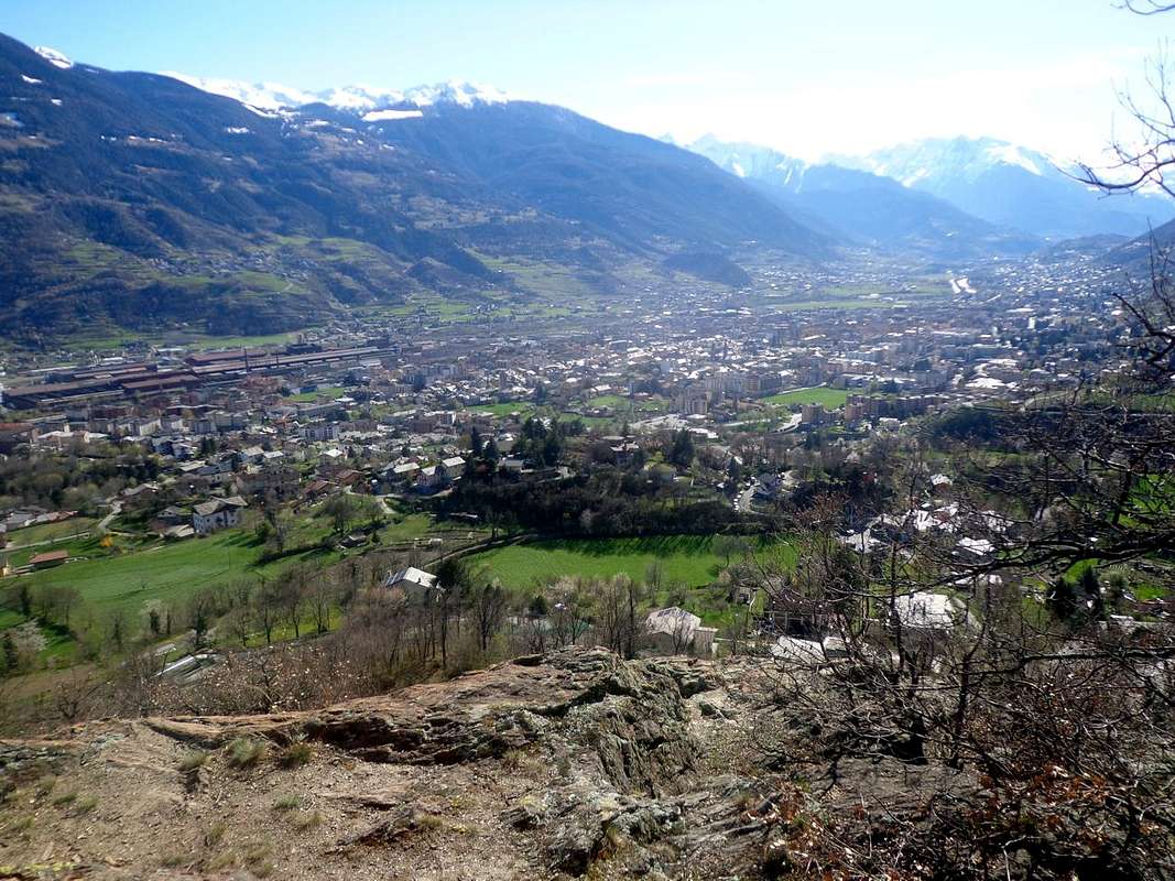
A)- By making the climb on the Eastern side of Buthier Torrent starting between the Common of St. Christophe and the Senin Fraction and through to Roisan, Valpelline reach.
B)- Going up from the City of Aosta on the opposite side to Gignod, La Clusaz, Echevannoz and Etroubles and down with the previous route, crossing to Doues and Allein.
It is also possible to proceed in different solutions, according to which somewhat depends on the time available, the travel time as well as how to employ the same in the path:
1)- a fully distance traveled on foot, worthy of other times and that requires a good workout and a full day available. In both directions of rotation, as just described above.
2)- a mixed way with traits drive and various hiking alternatives that, in dependence on the various solutions made, may coincide with an abundant half day. Say 6 to 7 hours.
3)- a photographic journey made almost exclusively alternately by car with short visits in places with special and particular features. Provide 3 to 4, or less than half a day.
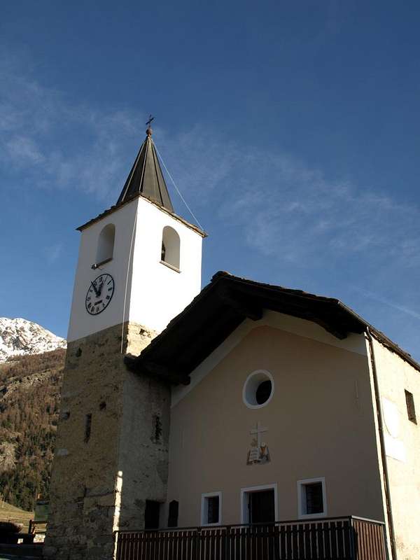
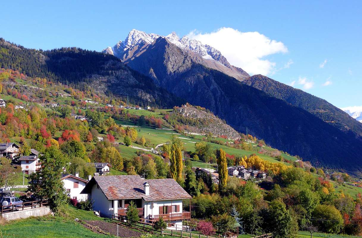
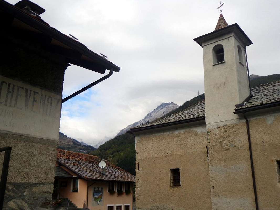
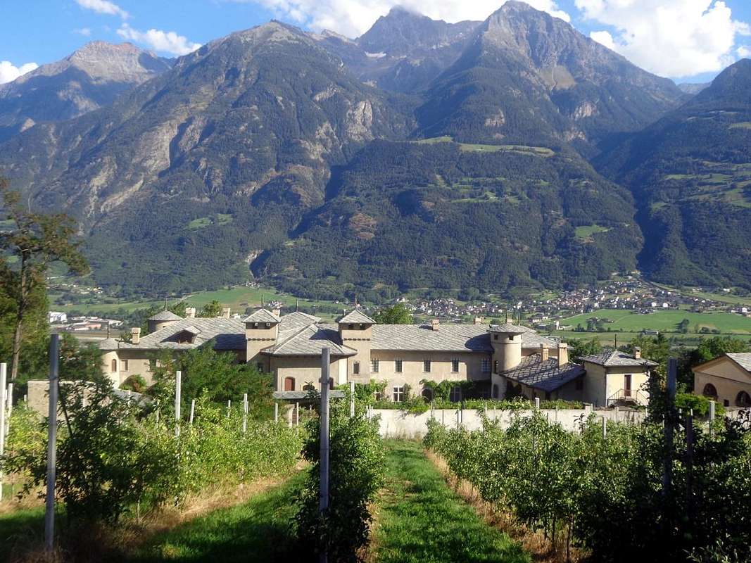
All this through small villages dotted along the
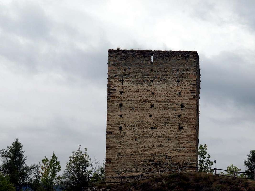
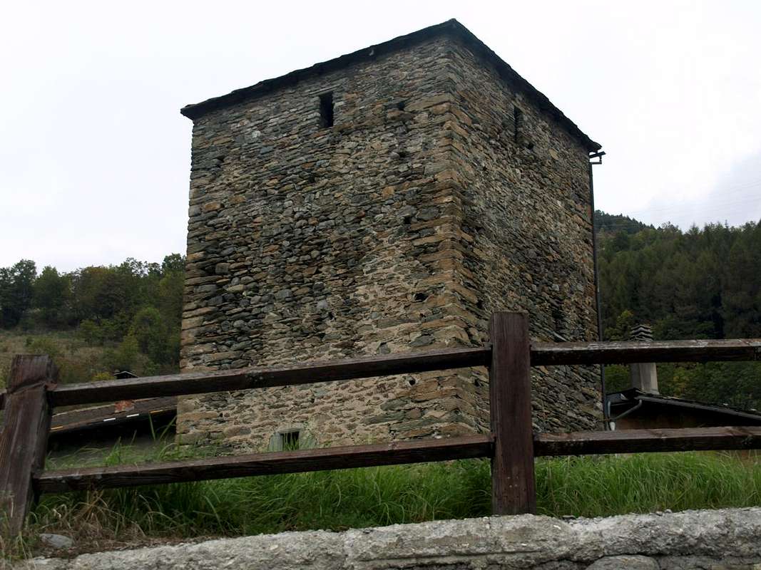
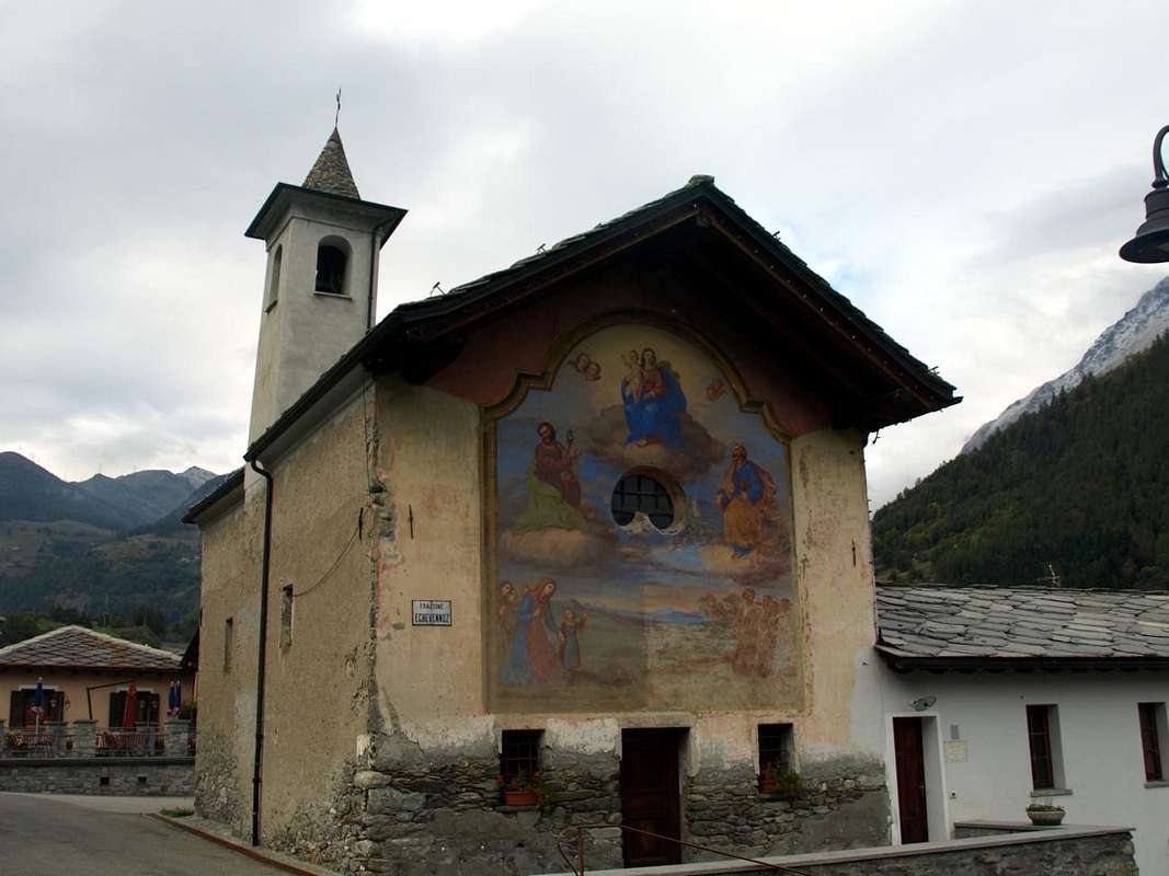
"Comba or Coumba Freida", rich in civil and religious traditions voiced by Churches, Steeples, votive Chapels, ancient fountains, Ru irrigation, Fortified Houses and some Castle or Tower observation.
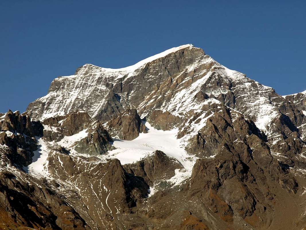
Always in the shadow der mighty Grand Combin de Grafeneire and his squire Velan ...
![]()
Quindi per l'intero Tour è possibile optare due soluzioni di salita e discesa. Si può procedere con diverse alternative secondo i mezzi che si vogliono utilizzare:
A)- Effettuando la salita sul lato Orientale del Torrente Buthier partendo tra il Comune di St. Christophe e la Frazione di Senin ed, attraverso Roisan, raggiungere Valpelline.
B)- Salendo da Aosta sul versante opposto fino a Gignod, la Clusaz, Echevannoz ed Etroubles e scendendo con l'itinerario precedente, attraversando verso Allein e Doues.
Inoltre é possibile effettuare diverse soluzioni nel procedere, in base alle quali dipende alquanto il tempo a disposizione, quello di percorrenza nonché come impiegare lo stesso:
1)- percorso completamente effettuato a piedi, degno d'altri tempi e richiedente buon allenamento e intera giornata a disposizione. In entrambi i sensi di marcia, come sopra.
2)- un tragitto misto con tratti in auto e varie alternative escursionistiche che, a seconda delle scelte, può coincidere con una abbondante mezza giornata. Diciamo tra 6 e 7 ore.
3)- viaggio fotografico effettuato quasi esclusivamente in auto con visite in località di particolari caratteristiche e peculiarietà. Prevedere da 3 a 4, cioé meno di mezza giornata.
Tutto attraversando villaggetti disseminati lungo la
"Comba o Coumba Freida", ricchi di tradizioni civili e religiose esternate da Chiese, Campanili, Cappelle votive, antichi fontanili, Ru d'irrigazione, Caseforti e qualche Castello o Torre d'osservazione.
Sempre all'ombra del possente Grand Combin de Grafeneire col suo scudiero Velan ...
![]()