Comments
No comments posted yet.
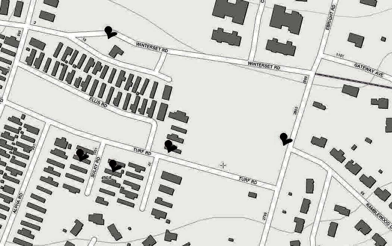
Point A is where the Ebright Blue sign is but this is not the original location of that sign - it was originally across the street from the tower sort of behind Doreens house, and there it was surveyed at 447.849 ft in 1985 (see William Schenck Letter). Point B is what ListOfJohn use as the 451 feet highpoint. Point C is where the second benchmark is at the old farm house on Winterset Road, and it seems like it is in PA not DE. Point D is where Paul Zumwalt (in the letter Doreen gave me) found a high point of 450.85 feet which he says is likely man made. Point E is where the world topo claims a spot at 450 ft. The azimuth mark on Ebright Rd is just north of the corner of Ebright Rd and Turf Rd. We simply don't know where the highest natural point of DE is!!!
This image is attached to the The exact highest natural point of Delaware was never located while it was natural, and now is lost forever.


