The ridge in the background is the Stutennock S / SW ridge. That is, from the summit the ridge starts out more or less to the south, but much later, after flattening out, it turns to the southwest.
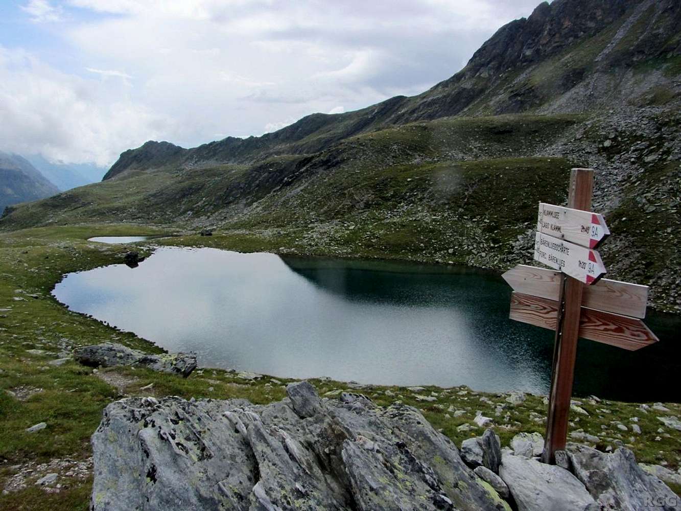
According to my map there should be a trail from the Kofler Lakes to the crest of the ridge, but it's not on the signs yet, neither on this side nor the other. But that doesn't mean all that much, for if the map is correct, the junction should be further to the west.
Click here to see the other signs.
28 July 2014.


