-
 1227 Hits
-
 73.06% Score
-
 3 Votes
|
|
Mountain/Rock |
|---|---|
|
|
32.23400°N / 104.754°W |
|
|
Sport Climbing |
|
|
Spring, Fall, Winter |
|
|
5600 ft / 1707 m |
|
|
Overview
A pretty wall with a collection of easy and moderate routes, Breakfast Wall would be a polished mess if located closer to a large city and/or if reachable by much less driving and hiking. Instead, it has fun routes on sticky rock in a wilderness-like setting.
Routes range from 5.4 to 5.10, and there currently are seven of them between 40' and 50' in length; the 5.7 here is one of the best you will find for the grade and the length. Although potential for several more exists, there is a bolting ban at this time, so do not jeopardize access by doing any rogue bolting.
The bolt spacing is what I would call "comfortable"; on the five routes I climbed there, I did not feel sketched out by runouts. Some routes have easy-clip anchors, but others just have chains, so be ready to hang and clean your own anchors.
Getting There
The MP page has these directions: "From US 285, ~8 miles N of Carlsbad, head West on Highway 137 to Queen(~38 miles). On the far end of Queen, just after Mile Marker 18, turn right onto Forest Road 525 (signed). There are numerous spur roads, just follow the main track. You will encounter 2 cattle guards and two gates. After ~3 miles, make a hard left onto 525A (signed), and continue 1 more mile to the parking lot overlooking the canyon, passing an old shack."
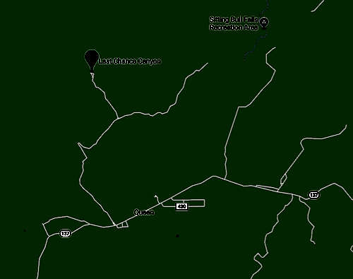
There is at least one other way, and it makes more sense if you are leaving from Carlsbad or approaching from Whites City (the little town outside Carlsbad Caverns NP). Somewhere around halfway between Whites City and Carlsbad, look for a road signed for National Forest Access, including for Sitting Bull Falls. Follow this road into the desert. When it intersects another paved road, turn left. You are now on the way to Queen and should use the directions above.
I can't remember the mileage, but the drive in from Carlsbad Caverns took about 90 minutes.
From the parking area, find the trail marker and hike down into the canyon. Once you reach the bottom, go right (down-canyon). Breakfast Wall is on the left and is for now the last developed wall as one heads down the canyon.
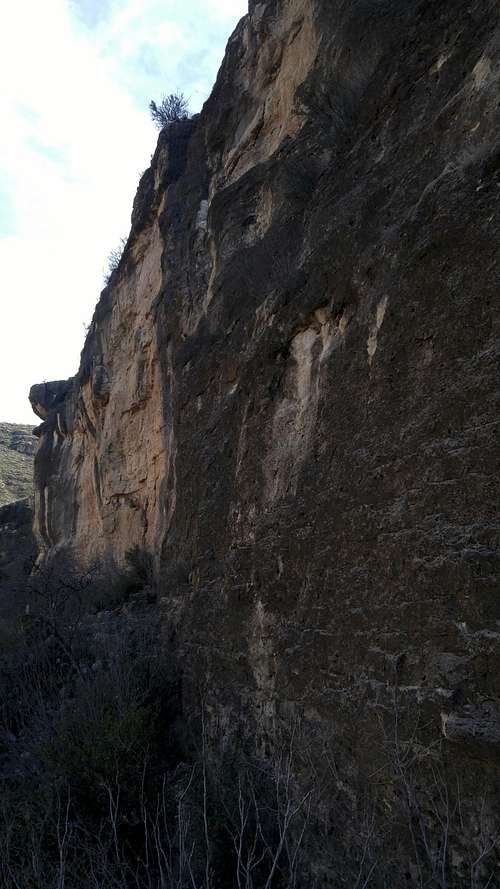
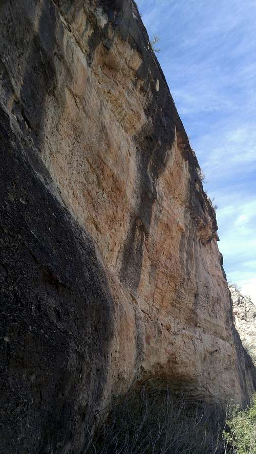
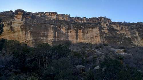
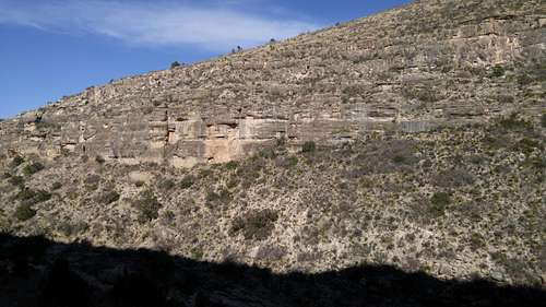
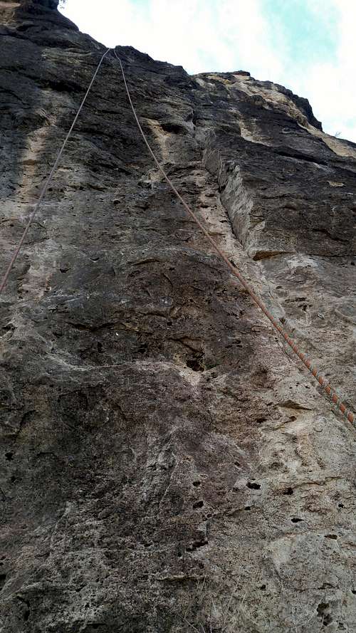
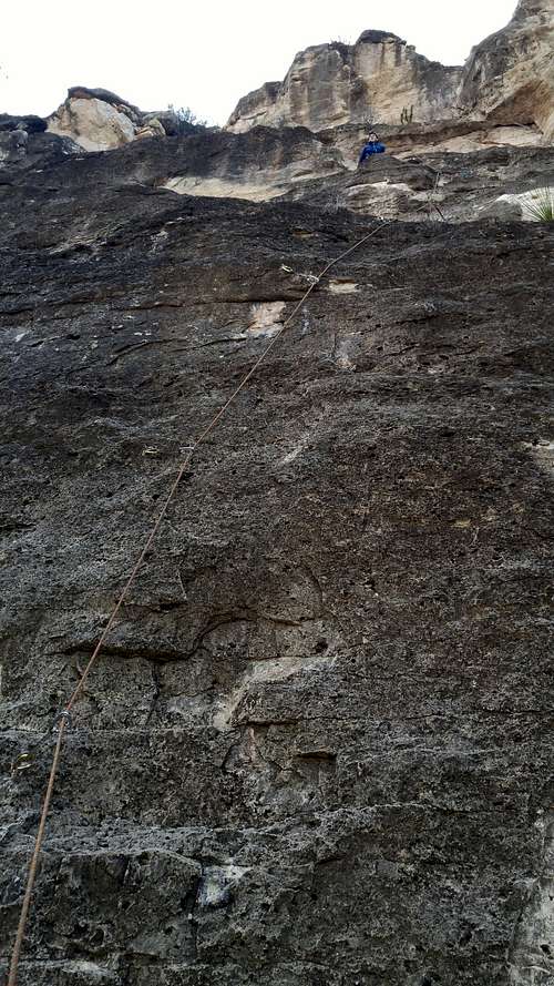
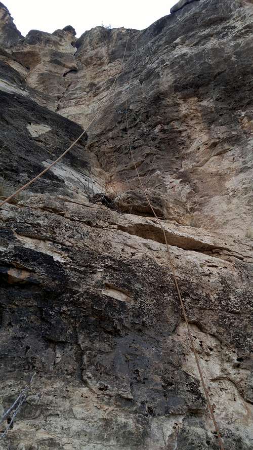
The first picture below shows the wall as seen from the canyon floor, and the second shows the view of the other side of the canyon. Hopefully, they will help when looking for a trail that climbs up to the base of the routes.
Routes
From left to right, the routes are as follows:
- Rice Kris Pies, 5.10
- Lucky Charms, 5.10a
- Cream of Wheat, 5.10a
- Malt-O-Meal, 5.4
- Oatmeal, 5.4
- Frosted Flakes, 5.7-- One of the best single-pitch sport routes at this grade you are lucky to find.
- Erika on Toast, 5.10a/b-- The person who submitted the MP page for this route calls it the best 5.10 in the canyon. I've only been to the canyon once and have only climbed two 5.10s there, but this one definitely was a lot of gun. Start as for Frosted Flakes and drift right or make a direct start on chossy, easy 5 rock that might take some trad pro but likely wouldn't hold a fall. I did the latter, but without the pro.
Red Tape
There is a bolting ban in effect; you may not bolt new routes without permission from whoever oversees the area.
When to Climb
Fall through spring. You could try chasing shade in summer, but it probably wouldn't be much fun.
Camping
There is free camping by the trailhead. You can also camp down in the canyon.


