
-
 2464 Hits
-
 0% Score
-
 0 Votes
|
|
Route |
|---|---|
|
|
39.04220°N / 106.06°W |
|
|
Download GPX » View Route on Map |
|
|
Hiking |
|
|
Spring, Summer, Fall |
|
|
Less than two hours |
|
|
Overview
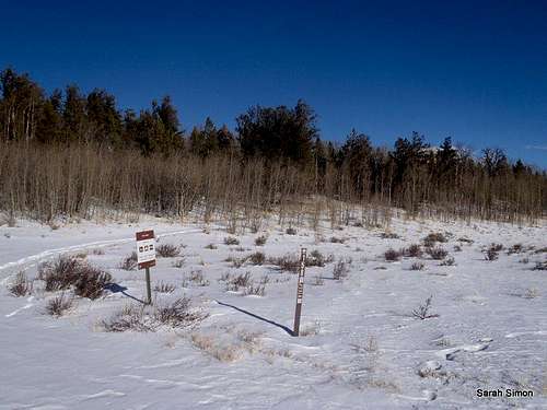
The walk along FS 158; this section can be driven when passable (outside of snow season) if desired | 23 Dec 2012
I present here a simple route page for a simple route! This is a nice outing to save for when you are short on time or when the weather is ferocious in the high-country, but the trailhead is not yet unreachable due to snow. Approached from the south, an ascent of Jones Hill is a mellow mostly off-trail walk through forests and meadows. Some deadfall around 10,500 feet is the biggest obstacle of this hike.
Actual mileage and elevation gain may vary depending on the season: Shorter if you drive part-way up FS 158 to the western shoulder of Jones Hill, and longer if all or part of FS 431 is blocked with snow.
Roundtrip Distance: 4.5 miles
Elevation Gain: 500 feet
Planning Map: Trails Illustrated #110
Leadville | Fairplay
Bushwhack Grade:B1+
Getting There
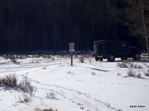
Parking at the intersection of FS 431 and FS 158 | 23 Dec 2012
At the time of my visit, the Forest Service roads were all very well marked | 23 Dec 2012
- From Hwy 285 south of Fairplay, head west for 6.5 miles on FS 431 (Buffalo Peaks Road)·
- Park at the intersection of FS 431 and FS 158.
FS 431 is a graded dirt in pretty smooth condition and is drivable in dry conditions with a passenger car. A 4x4 will be needed in snow season. Deep drifts can make this road completely impassible in the winter.
Route Description
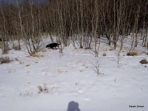
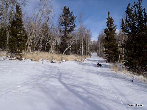
Rotti mix Angel roaming the woods on the southwest slopes of Jones Hill | 23 Dec 2012
See the attached GPX file for map and elevation profile.
- From the parking area, head north on FS 158 for roughly 1 mile
- Depart the road and strike out northeast toward the summit of Jones Hill
- Enjoy a gentle ascent through forests and meadows
- At the time of my visit, the summit was marked by a cairn and included a summit register jar
Essential Gear
 Deadfall on the SW slopes
•Map & compass and/or GPS
•Comfortable hiking boots or shoes
•Outerwear appropriate to the season
•Snowshoes for flotation in snow season
•Water and snacks
•A camera to save memories of the high country views
•First aid kit
•Other standard day hike essentials