
-
 6011 Hits
-
 71.06% Score
-
 1 Votes
|
|
Route |
|---|---|
|
|
40.83101°N / 9.15211°E |
|
|
Hike |
|
|
A long day |
|
|
Walk-Around |
|
|
Approach
From Olbia get on motorway SS131 north around the city of Olbia on the western side. At the intersection with SS127 turn west into direction Telti. Shortly before you reach Telti, SS127 turns right sharply and heads through the town. At km 30 - shortly before you reach an abandoned train station in a road pass - there is a parking place on the left hand side and it is here that the trails to Monte Limbara start
Route Description

Though “only” an easy hiking trail this route offers views and sights which are among the best on Sardinia. From the trailhead at the abandoned train station of Calangianus to its end near Punta Beritta it winds for roughly 16km through some of the most beautiful macchia patches of the island. Add the numerous domes of Monte Limbara which follow each other along the way (and which get ever more impressive as you follow the trail) and you probably will understand the name I gave to this route. Probably the nicest set of granite structures this side of Yosemite.
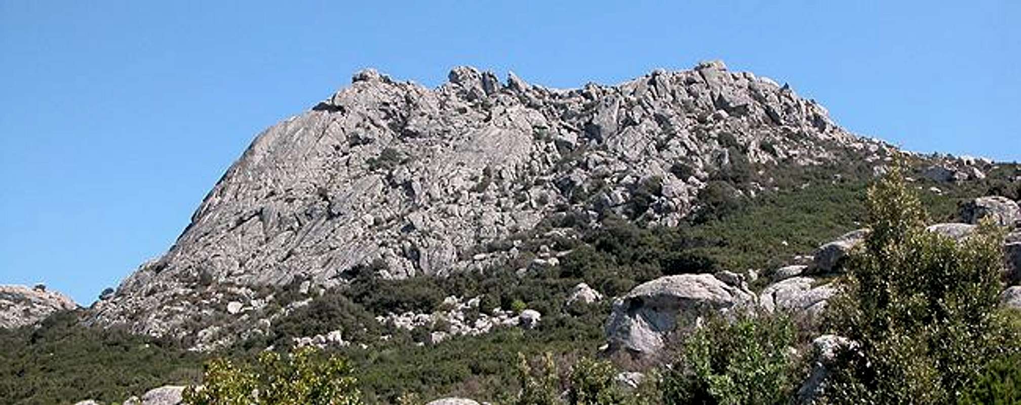
For the first part the trail follows a forest road which climbs a short way to a saddle from which you get your first glimpses of the Limbara Domes. At both of the two intersections which follow shortly after the trailhead keep on the right hand side. From the saddle the trail narrows and descends into a creek valley slowly circling Punta di li Cupuneddu and Monte Lisgiu. It heads in the general direction of Monte Biancu which you can clearly seen in the west.
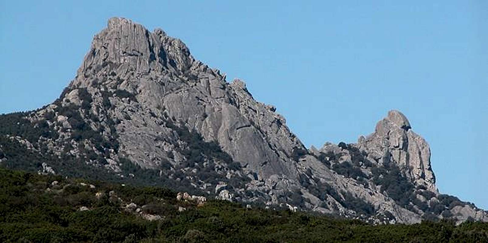
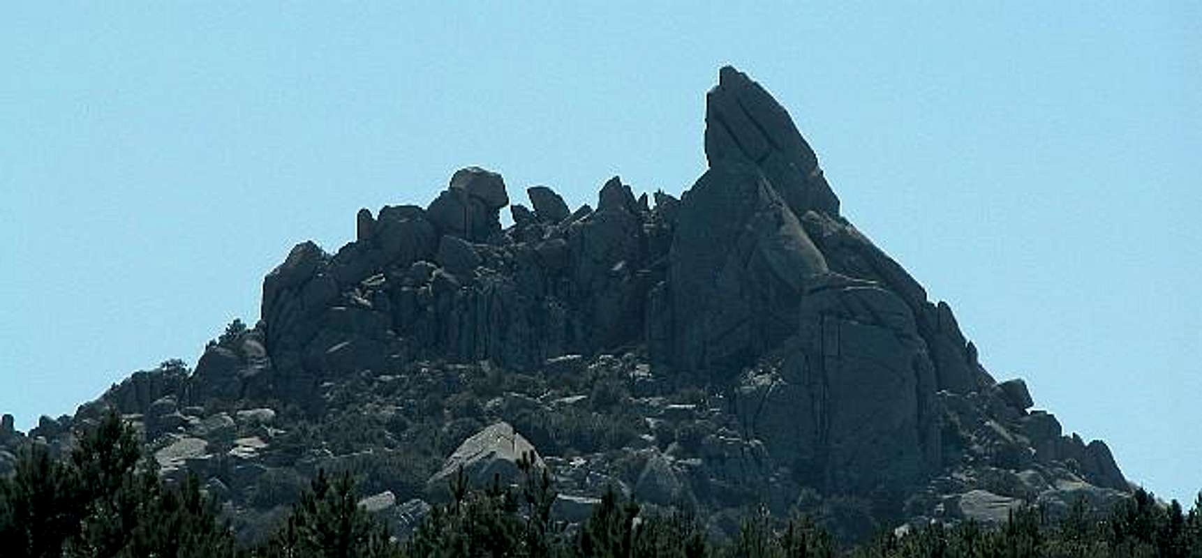
Shortly before reaching Monte Biancu the trail turns into a dirt road again and heads upwards to Passo di li Conchi between the Punta of the same name and Monte Biancu. Close up views of Monte Biancu get better and better as the trail climbs southward and touches the pass. To the south Domes X and Y can be seen together with Punta Balestreri, Monte Limbara’s highest summit, which is marred by an astonishing amount of TV, radio and radar antennae. To the east, Monte Nuddoni with its famous leaning summit can be seen.
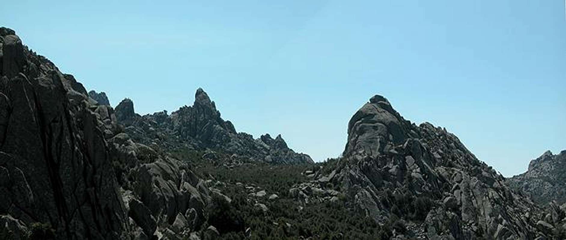
From Passo di li Conchi the road descends into the valley of Riu Littaghiesu. Again two intersections follow at both of which you take the right hand trail. Shortly after crossing the river (500m) on the left hand side a narrow trail heads up through (and under) the brush (You could follow the forest road as well and take the left road at the next intersection). It heads upwards steeply and get clear of the brush to follow a great panoramic trail running along the northern slopes of Punta Balestreri. The forest road is regained and followed upwards to the left and after another 2km you’ll get to a huge panoramic heap of boulders. These are a good resting place and – if you want – a perfect place to train your granite climbing abilities.
Note aside: unfortunately I had almost dislocated my shoulder the day before (slipping on gravel on the descent of Punta Catirina) that bouldering was no option for me.
Essential Gear
For the route normal hiking gear is sufficient if you think of bouldering (and you don’t need to go all the way to do that) bring rope, harness and climbing sneakers.