-
 1939 Hits
-
 75.61% Score
-
 6 Votes
|
|
Route |
|---|---|
|
|
24.7198°S / 68.53674°W |
|
|
Download GPX » View Route on Map |
|
|
Mountaineering |
|
|
One to two days |
|
|
PD |
|
|
Overview
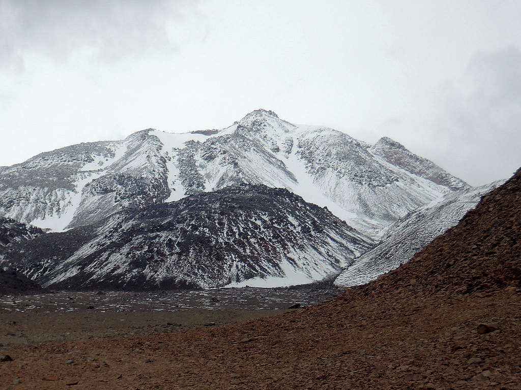
In early 2018, we scoured on satellite imagery south of Llullaillaco a car track reaching higher than the start of the normal route and a potential gully ascent from there. Despite finding only one report of a southern route (Lisi and Monti, AAJ 1998) and being unsure if it was the same, we went for the adventure. Due to exceptional snowfalls and low visibility, it presented to us as a postholing and “camp-finding” challenge, but in normal conditions, it should be a straightforward and non technical, although rocky, route.
Getting There
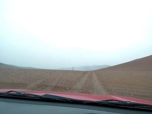
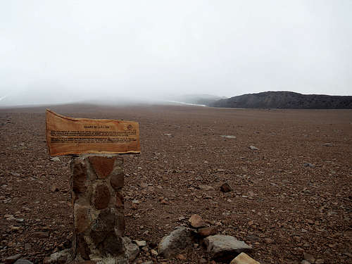
See GPS track. From Chile, unlike on the main page, we left the highway 6.0 km after Imilac. At the CONAF hut, we were lucky to meet rangers, but they had no route information. Proceed south then into Argentina for 32 km to the highest point of the car track, at S24°46.117’ W68°32.083’ and 5040 meters (1 hour from the hut, 5 from Antofagasta nonstop). We saw possible signs of base camping around 5200 meters, and it may even be possible to drive to 5400 meters without snow. On our way out, following by mistake the signs to Mina Escondida was for us slightly faster though on a rougher track. The only checkpoint was upon leaving the mine, where we had no problem.
No one will check, but from Chile, one should clear immigration beforehand or, maybe, cross Socompa pass and reach the track from Argentina (S24°35.296’ W68°12.350’).
Route Description
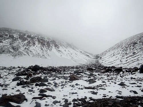
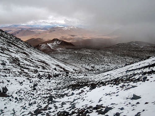
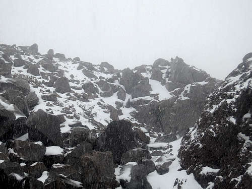
Simple. Reach the base of the gully at 5400 meters, then find the path of least resistance all the way to the top. Generally, the terrain is easier in the gully than on the lava flows.
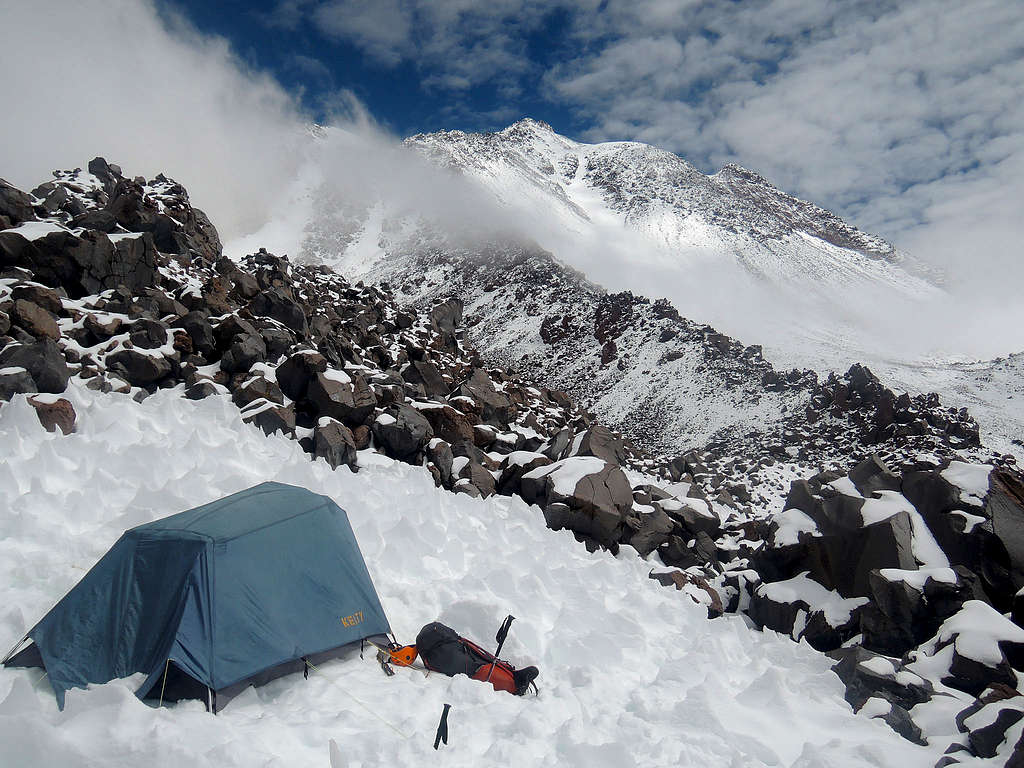
We needed GPS to find the start of the gully in low visibility. We saw one bivouac site at 5650 meters. We climbed out of the gully to find a better spot at 5800 meters as our map showed flatter ground, but it proved to be a mistake both for the effort to reach the ridge and the lack of non rock-strewn terrain (we had to hack a platform in a rare penitente field). Once in good visibility, we saw a much better site at 5900 meters by the gully.
Essential Gear
Generally no need for ice axe or crampons. In our unusual case, it was more a case of snowshoes or skis past 6000m.
Tent for a 5900m unsheltered camp. Plenty of rocks to anchor. Snow for water likely.
Extra fuel and off-road emergency gear (our rental company lent us shovel, spare tire, chains and gasoline container, consider traction mats or wood planks and air compressor). We spent 75 liters on a 4x4 diesel truck from the last fuel station, at La Negra. A gasoline engine has less risk of not starting at 5000 meters, and a high clearance 4x2 is adequate.

