
|
|
Route |
|---|---|
|
|
46.29761°N / 9.07196°E |
|
|
Hiking, Scrambling |
|
|
Spring, Summer |
|
|
A long day |
|
|
Overview


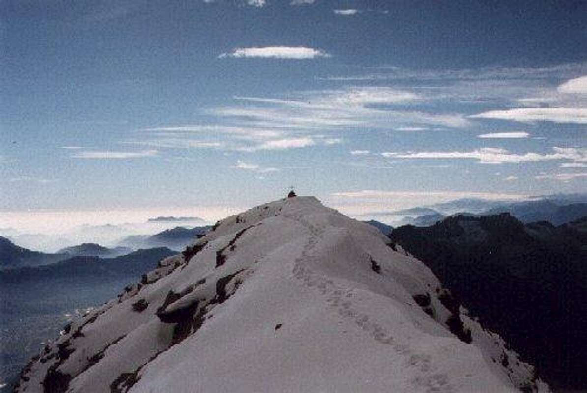
View from the summit towards Lago di Canee
Pizzo di Claro has 4 main routes to its summit, this page is dedicated to the Brogoldone Route, which is in my opinion the most beautiful of the 4 main routes. Another one of the four routes (on SP) is the Normal Route
The Brogoldone route starts at the village of Lumino. In this village a little cableway goes up every hour to Monte Sauru (1215m)
From here you will ascend Pizzo di Claro via Capanna Brogoldone (1904m) and you will head over the mountain ridge with impressive views towards the Calanca valley in the east and the Leventina valley in the west.
It's an impressive route with a great hike over the mountain's sharp North-South orientated ridge. The path is marked very well by, for Switzerland common, red-white-red stripes. The uppermost part of the route, in which you climb the 'summit pyramid' is marked by blue-white-blue. This part is not marked as well and involves more scrambling compared to the lower part marked white-red-white. The upper part is graded T4, the lower part T3.
Hiking experience is a must for this last part ascending the summit block of Pizzo di Claro!
This route is great for the enduranced hiker/scrambler to do in a single day. A good alternative is a 2 day trip with a sleep-over in the Brogoldone Hut which you pass on your way. (the Hut is hosted from march until oktober)
At the summit views are really nice, you can see as far as Bernina and Monte Rosa and the view to the city of Bellinzona alone makes it already worthwhile climbing this mountain!
Pizzo di Claro Summit
Getting There
 Pizzo di Claro, W-Face from Claro | 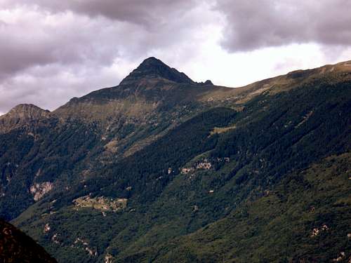 Pizzo di Claro SW-Face from Bellinzona | 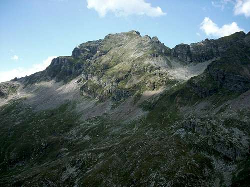 Pizzo Claro E-Face from Mot Ciarin |
Coming from the Gotthard passway (North), drive down towards Bellinzona and go off at 'Bellinzona-Nord' From there follow the signs 'Lumino' and eventually you will see signs 'Lumino-Monte Sauru Cableway', where the starting point of this route is located.
Coming from Italy it's the same thing. On the highway (there's only one going through Ticino) go off at Bellinzona-Nord.
Route Description

View towards Pizzo di Claro, you can see the summit Block and the connecting ridge you cross before it
-> Starting altitude: 1215m
-> Summit altitude: 2727m
-> Height difference: 1510m
-> Ascend time: +- 6 hours
-> Descend time: +- 4 hours
The route starts at the top of the Lumino-Monte Sauru cableway (1215m), from here you need to follow the route towards 'Capanna Brogoldone' (1904m). This part is a very well marked route, with little elevation gain.
From Brogoldone the route gets really beautiful. The path goes up to the long, sharp ridge of Pizzo di Claro which devides the Calanca and Leventina Valleys. The route may contain some loose stones, so watch your step. The route is marked very well though.
At the end of the ridge there is a split-up. You have come to the point where the impressive summit pyramid is right in front of you.
From here you turn right where the route leads up to the summit over the eastern-part of the mountain.
This last part of the climb is not as well marked as the first part and involves some (easy) scrambling. A LOT OF LOOSE STONES ON THE WAY!! WATCH YOUR STEP! It is neccessary to have some hiking experience before trying this summit part of the route. Finally, you will reach the summit to enjoy the beautiful views!
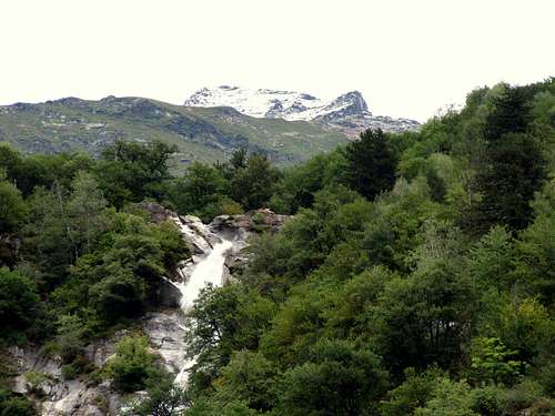
Descent tip: You can descend the same way back, but a beautiful variant is to take the normal route down, passing beautiful Lago di Canee and ending in the village of Claro.
Essential Gear
--> Good Hiking Shoes--> Warm clothes for the upper part. It can be windy and a bit cold at the summit
--> When spending the night at Alpe Peuret: Bring your own food, there is no host!