
-
 3397 Hits
-
 74.01% Score
-
 4 Votes
|
|
Route |
|---|---|
|
|
42.75713°N / 0.53777°E |
|
|
Download GPX » View Route on Map |
|
|
Spring, Summer, Fall, Winter |
|
|
Half a day |
|
|
Hike, ski tour |
|
|
Overview
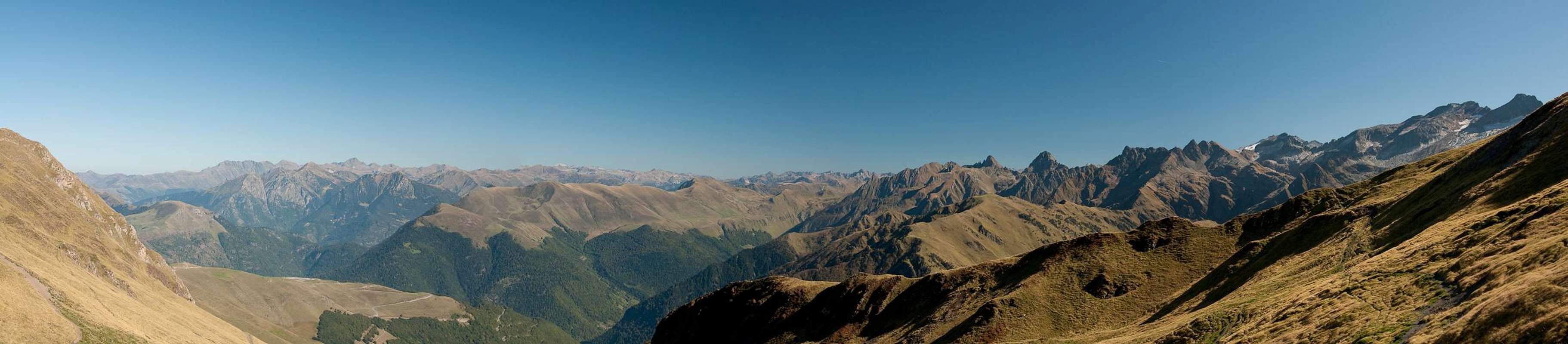
 Chemin des Crêtes follows the ridge from right to left Chemin des Crêtes follows the ridge from right to left |
The hike / ski tour from Superbagnères is the shortest ascent to Pic de Céciré. It takes little more than two hours and for about half of its way it is very easy, running along a broad ridge. Once beneath the Céciré south face - away from the Superbbagnères ski runs - the slopes get steep, the path gets narrow and there are a few rocky sections. Exposure remains low, however.
The detour through Col de la Coume de Bourg (see below) can be avoided by climbing the east ridge directly. Here, however you'll find UIAA II - III climbing on rather loose terrain, which is actually discouraged by guidebooks.
Getting There
The hike starts at Superbagnères. See the main page for the itineraries.Route Description
 Looking back east from Chemin des Crêtes
- Start altitude: 1794m
- Summit altitude: 2403m
- Prevailing exposure: S
- Type: Hike
nbsp; - Protection: None
From the huge parking lot in Superbagnères head down the access road for a few hundred metres. Cross the road and follow a dirt track, which heads for a ski lift top station. At the ski lift turn onto the broad ridge in south-westerly direction.There is a dirt road and a footpath which both head for another, though defunct ski lift cabin at the end of the Céciré east ridge.
 |  |  |
Here the road ends and instead a footpath crose to the beginning of Céciré's south face, descending for about 50m before heading up again in a long traverse of the face. The path is narrow, the slopes are steep, a rather enjoyable hike. A big buttress appears which needs to be negotiated. The path rises steeply to circle it an pretty loose ground. After this the path levels and Col de la Coume de Bourg appears.
  |
You can now hike towards the saddle for views into Val d'Astau. The summit path, however, eaves already some 100m beneath the saddle (from the Col another heavily eroded footpath can be used as a shortcut). The path negotiates the Soum de la Coume de Bourg south face before heading into the saddle, which separates it from Pic de Céciré.
From the saddle the path now stays underneath the ridgeline of the Céciré south-west ridge, following it closely but some 50m underneath. It aims beyond the Céciré summit for a point on the upper north ridge, from where the remaining last steps take you back south to the summit.
 |  |
Recommendation: from the summit head out for a few (100m) onto the east ridge, from where you have wonderful views of the steep Céciré north-east face.