Crossing half a dozen of highest peaks in the group is the most what Sau Alps can offer. Choose a very clear day, the biggest value of the tour lies in enjoying endless panorama. As explaind on the parent page, tour logistic is very important. Here, I'm describing a bike & hike proposal.
General Information
Sau AlpsDifficulty (gradings are on the Swiss Hiking Scale): All parts of the tour are very easy, mostly T1 with a few T2 sections.
Orientation: The whole crossing is well marked. The tour is doable even without a map (or with any online map). Just stick to the main ridge.
Exposition: No exposed sections, the tour is suitable for anyone.
Objective dangers: The main ridge is flat and broad, don't attempt the tour in fog!
Best season: Any time in the year, but recommended from June till September, when the hut busses are driving.
Gear: Good shoes and poles.
Tour start: Ofner Hütte, 1668 m.
Tour end: Klippitztörl, 1644 m. Then you bike down to Wolfsberg, 463 m.
Highest point: Ladinger Spitz, 2079 m.
Altitude to overcome: some 600 - 700 m only (ups and downs by the ridge).
Distance to overcome: good 15 km.
Time for the hike: 5 h. Due to logistic, plan the whole day.
Logistc: Choose a Monday in summer - the bus drives only then! Leave the bikes on Klippitztörl. Drive with car down to Wolfsberg. Catch on the railway station (middle of the square before the station - no inscription!) the bus to Ofnerhütte. Start the hike by the hut, cross the whole ridge to the bikes. Bike down to Wolfsberg via the hamlet of Preims
Route Description
The hut bus stops on the road just below the Ofnerhütte, some 1660 m. Take the road towards the Wolfsberg Hütte, below the hut take a shortcut up. From the hut, 1827 m, take the marked path towards the NW. You'll hit the main ridge on the point 2029 m, from this fore-summit continue northwards on the Ladinger Spitz, 2079 m.
Ladinger Spitz ascent
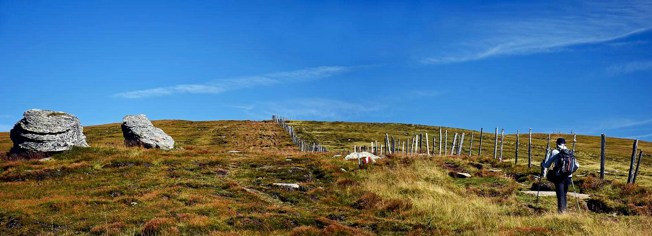
From the highest point continu by the main ridge, first towards the NW (to Kaiserofen, 2037 m), then towards the N. Ascend Getrusk, 2044 m, the sharpest summit of the massif. Descend towards the N on the saddle with the cross (Eisernes Kreuz), 1958 m. From the NW, there joins the marked ascent from the Weißberger hut. Don't descend there, but continue along the fence, in the northern direction, slightly upwards. The flat and rounded summit of Kienberg, 2050 m, is just a bit right of the trail.
From Kienberg continue slightly down and up again, along the main ridge, in the NE direction. The next ridge elevation are the rocks of Hafnereck. Actually, they are the highest point of Forstalpe, 2034 m. From there, a long, gentle descent awaits you - in the N-NE direction. So, you gain the Litzer Talen, 1829 m, the saddle before the last ridge summit. You'll probably not ascend also the Geierkogel, 1917 m, unless you are collecting summits. It's better to detour it by the western side. The path goes quite horizontally, but it's still a long section. Finally, you descend to the Klippitztörl, 1644 m.
Biking: From the road pass you ride down towards the east. You pass the tourist village, after some 5 km from the pass you deter right, on the side road. Continue steeply down to the picturesque hamlet of Preims and through it into the valley of Weißenbach. It brings you directly down to Wolfsberg. It's some 25 km of a (mostly steep) descent. Almost no biking up!
When To Do It?
The bus to Ofnerhütte is driving from July 10 to September 7 (in 2018). We got the information calling the hut master on mobile: 0664 / 392 16 02.
Parents refers to a larger category under which an object falls. For example, theAconcagua mountain page has the 'Aconcagua Group' and the 'Seven Summits' asparents and is a parent itself to many routes, photos, and Trip Reports.

 1175 Hits
 73.06% Score
 3 Votes
 On the ridge