|
|
Route |
|---|---|
|
|
40.80210°N / 107.3541°W |
|
|
Hiking, Mountaineering |
|
|
Summer, Fall |
|
|
Half a day |
|
|
Class 2 |
|
|
Overview
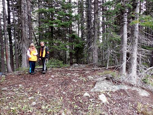
This might be the easiest route up "Forgotten Point". The route has a few steep sections, but the main obstacle is simply navigating through the thick forest.
The route we took was less than four miles round trip, but there is quite a bit of route-finding.
Getting There
From the junction of Highway 40 and 13 in Craig, turn north on Highway 13, drive north for about 13 miles to north of mile marker 102 until you see a sign posted for County Road 27. The road is posted for “Forest Service Access” and “Black Mountain”. Drive County Road 27 through private lands for 10 miles which is where you reach the Routt National Forest boundary. The road becomes FR 110. From the Forest Boundary, follow FR 110 for 7.2 miles to FR 133 (A.K.A. West Prong Road).
Turn left on FR 133 and follow it for 4.6 miles to the Roaring Fork Trailhead. The trailhead should be signed. If not, look for the old road and gate on the left side of FR 133 at the 4.6 mile mark.
Route Description
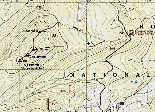
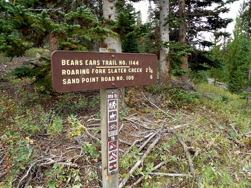
From the trailhead, follow the old road past the gate (this is part of the Bears Ears Trail). After a short distance an old road goes straight and the trail goes left. Turn left and follow the trail west which is an old logging road at this point. The trail is well used by Elkhead Mountain standards, but you are unlikely to see anyone outside hunting season.
There are many route variations possible, and you should head towards the peak sometime before the trail begins to drop towards Slater Creek.
We left the trail headed southwest at a point where the marked trail turns right and the old logging road continues straight. This is the only real landmark around.
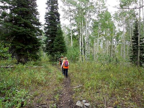
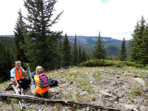
Using a map and compass, head west and southwest through the fairly open, but lush and green old growth forest towards Point 10,196. Although you can go around this summit and it takes some extra effort to climb it, it is highly recommended that you climb over it because the views are limited from the true summit. Point 10,196 offers the best views of the climb, even though they are also somewhat obscured by timber in some directions.
From Point 10,196, drop down the steep slope slightly west of south to the obvious saddle. From here you will climb (steep in some places) up to the "first summit".
Maps give no indication of which summit is higher, and it is hard to tell from the ground, but Listsofjohn.com claims that the last summit is slightly higher. Either way, you might as well climb all three just to make sure.
From the first summit, follow easy ground southwest to the second summit. From here you will drop southwest to a saddle.
The most difficult part of the climb is just ahead, though it's not that serious of an obstacle. You must climb over and through a blowdown and over several logs. Once above the logs, continue the climb up the steep, but easy slope to the summit.
There is a register under the rock cairn. It was placed by the famous peak bagger Mike Garrett, who climbed the mountain alone in July 2006. The register remained completely untouched and with a still sharpened pencil until we climbed the peak in September 2013. It is likely that only a handful of people have ever climbed this peak.
You can return the same way, but most people will want to take a shorter route down and bypassing Point 10,196.
After returning to the "First Summit" (see map and description above) you can follow the indistinct ridge to the east and back to the trailhead. There aren't many obstacles, but make sure to pay attention to the map and compass (or GPS) since it's easy to get off route.
Near the Bears Ears Trail some of the trees are marked blue with paint. I imagine that the paint is very old and that the trees were marked for logging decades ago.
Once back on the Bears Ears Trail, follow it east and back to the trailhead.
Essential Gear
A good pair of boots is needed. A good map, compass and/or GPS is mandatory.


