
|
|
Route |
|---|---|
|
|
47.40712°N / 120.792°W |
|
|
Hiking, Mountaineering |
|
|
Spring, Summer, Fall |
|
|
Half a day |
|
|
Class 2 |
|
|
Overview
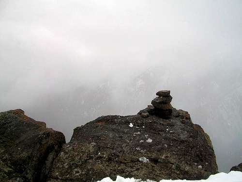
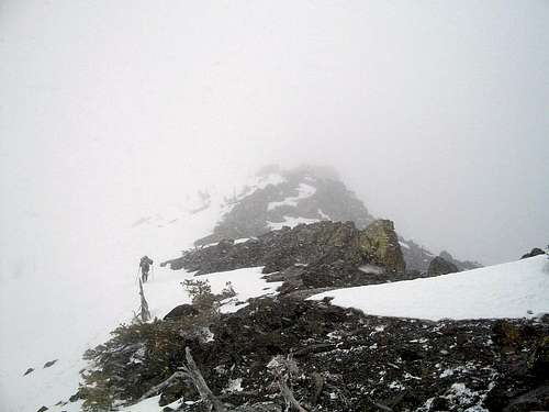
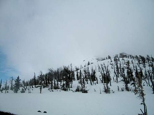
This is strictly the direct and fastest route to Freedom Peak (Little Navaho). There are a number of other variations to Freedom Peak especially if you are peakbagging in the area. Ideally you would want to hit this route in spring when snow is still in the area because you will have great footing and a strong possiblity of a good glissade for descent. In summer this gap becomes more of a steep bushwack in the lower section and a screefest in the upper section. Views on the summit on a clear day are well worthwhile from Freedom Peak (Little Navaho) and you can see Rainier as well as many of the Teanaway Region mountains from this summit.
Getting There
VIA STAFFORD CREEK TRAILHEAD: From Highway 970 5 miles east of Cle Elum, take the Teanaway River Road north about 13 miles to 29 Pines Campground. Merge right onto forest road 9737 and stay on the road for about 1.25 miles. Make a right on road 9703. Take 9703 2.5 miles, where the Stafford Creek Trail will be on your left and the trailhead parking will be on the right 100 yards to to the east.Route Description
If you are interested in just Freedom Peak then you want to take the Stafford Creek Trail roughly 3 miles north. It will mostly be a gently grade uphill as it runs parallel on the east side to Stafford Creek. At three miles you see a large pointy peak off to the right hand side. Look for the gap to the left (north) of the towering point and right at the creek merge off the travel and bushwhack straight up the gap (Class 2). Once in the gap head right (south) up to the summit of Little Navaho (Class 2). Freedom Peak is 9 miles; 3400 feet and will take an average hiker 4-7 hours to complete depending on conditions.
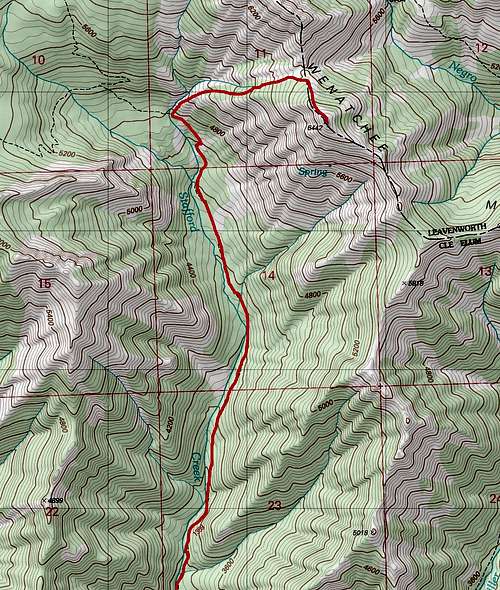
Map of the Route up Freedom