-
 653 Hits
-
 76.66% Score
-
 7 Votes
|
|
Route |
|---|---|
|
|
Scrambling |
|
|
Spring, Summer, Fall |
|
|
Most of a day |
|
|
II |
|
|
Overview
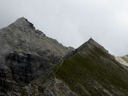
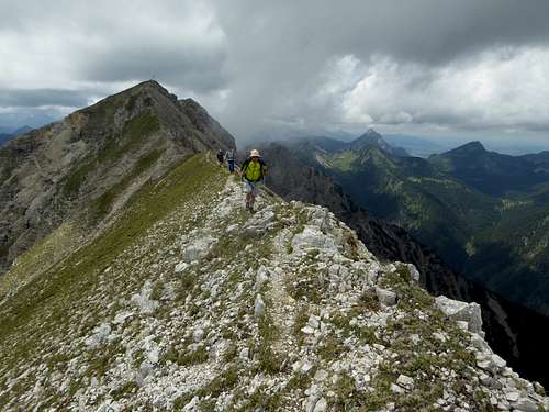
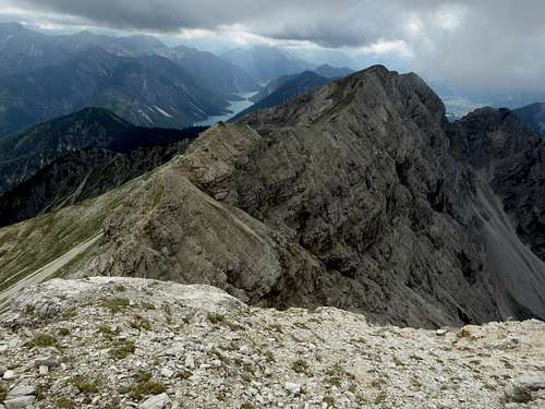
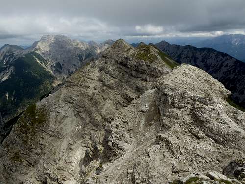
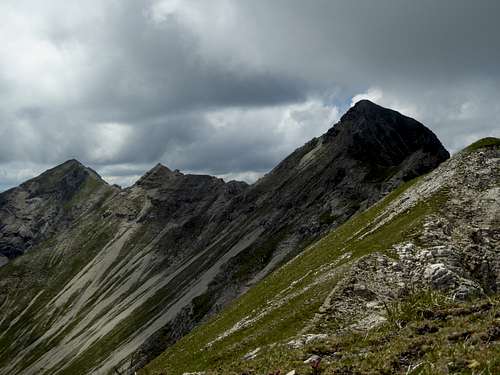
The Geierköpfe ridge is a short but very nice traverse within Ammergauer Alpen. Long walking sections and short scrambling sections characterize this traverse which can be done in different ways from two trailheads, either returning to the same trailhead or using a bike (or two cars) between these trailheads.
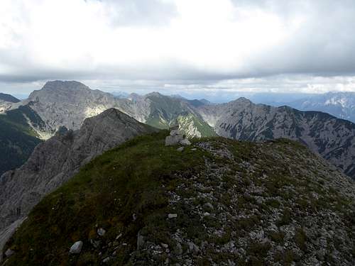
On this traverse you climb all three peaks of Geierköpfe. Whereas the western summit is frequented, the main summit already is much less visited and the eastern summit is a real lonely one.
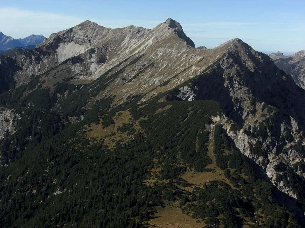
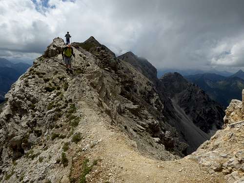
The route is marked with cairns. There are short climbs with UIAA grade I – II moves and you can even navigate round the most difficult part of the traverse.
Normal hikers will need most of a day for the traverse and the return to one of the trailheads. Its one of my favourite traverses within Ammergauer Alpen.
Getting There
The eastern trailhead is the parking area “Bei den Sieben Quellen” at the German / Austrian border along road number St2060.
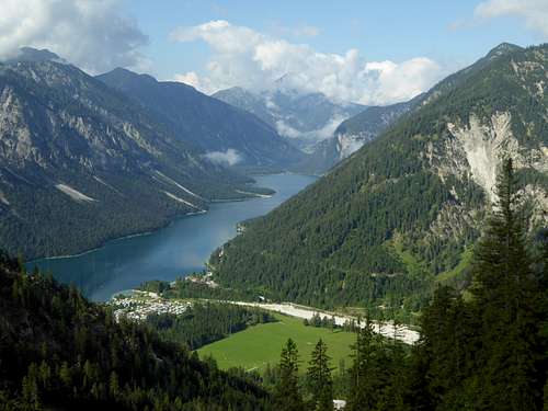
The western trailhead is the parking area “Am Plansee / Musteralpe” “day fee required) at the northeastern end of that lake.
See the Geierköpfe main page how to reach these trailhead by car or public transportation.
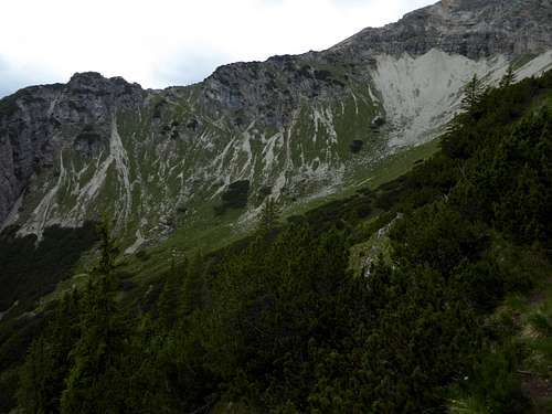
From the parking area “Bei den Sieben Quellen” follow southbound the scree field on its right (orographic left) side until the trail to Neualpl col starts. Follow that nice trail up to Neualpl col.
From the parking area “Am Plansee” follow the signposts to “Geierköpfe”, first on a forest road, after 500 m on a trail, which branches off to the right and climbs up to Zwerchenberghütte. This hut can be reached, too, on a trail, which starts about 2 km north of Plansee (not many parking lots). Follow then the trail up to Kreuzjöchl col.
Route Description
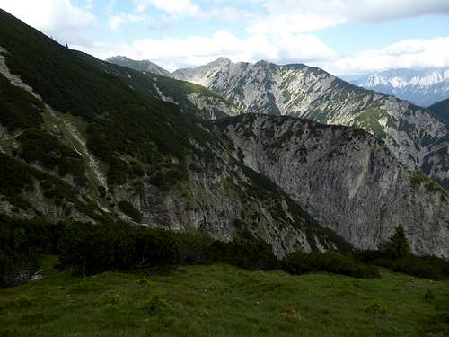
Between Kreuzjöchl col and Neualpl col the so called Südhangsteig (south slope trail) offers a good and easy option to navigate between these two cols at the western and eastern end of the Geierköpfe ridge.
- From Kreuzjöchl col follow the marked trail up the south ridge to Geierköpfe west summit (2143 m; short rock step with some scrambling).
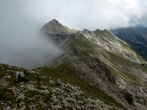
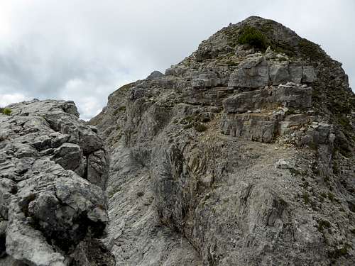
- Turn right then onto the west – east running Geierköpfe ridge. Follow this ridge on a path to a small notch in front of Geierköpfe main summit (mostly walking, short scrambling section). A small scree trail leads up to the main summit (2161 m).
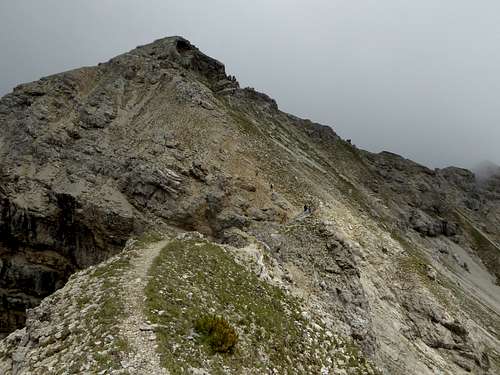
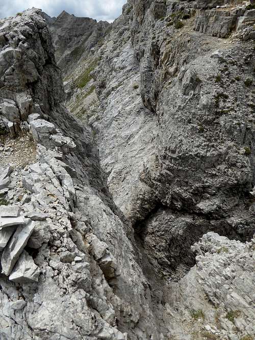
- Descend then following the ridge and climb down a chute (UIAA grade I) or navigate round the chute on its northern side. Follow the cairns down some rock steps until you reach a near level part of the ridge with perpendicular walls on its north and south side.
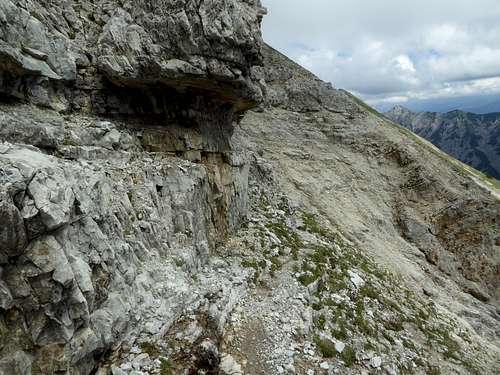
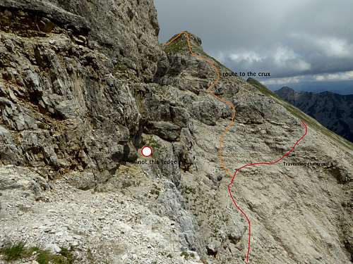
- In front of this level part of the ridge turn right and descend the south side until you are at the bottom of the rock walls. Don’t enter the level ridge part despite of the good trail; there is no easy route to continue!
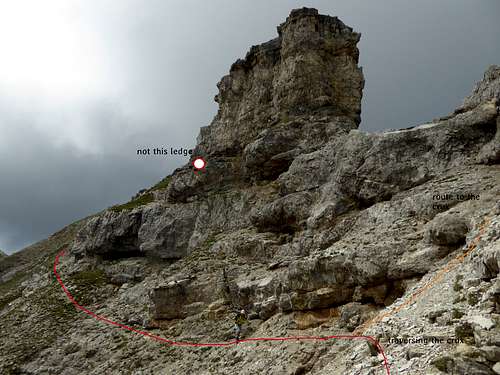
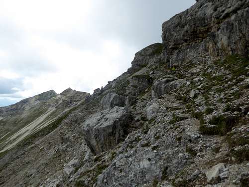
- Traverse at the bottom of the rock wall to the east following the cairns. Don’t stay too high, there is a promising looking ledge with some cairns which ends at slippery and frail slabs!
You then have two possibilities:
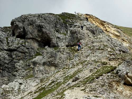
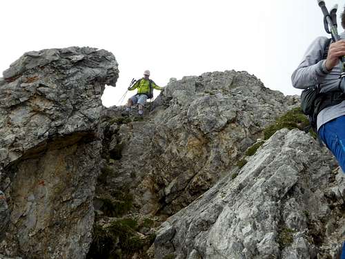
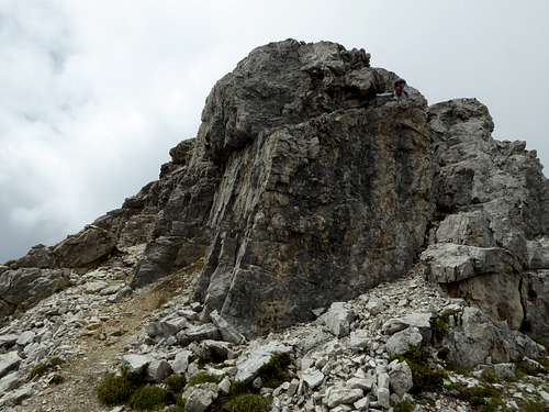
- Climb back to the ridge where there is a notch east of the near level ridge section and climb the rocky head east of the notch (UIAA grade I). Follow the ridge shortly heading down to a second notch which can be reached south of the ridge over short ledges and a steep rock step (UIAA grade II, short crux section). From the notch climb up a short chute (UIAA grade II) back to the ridge and follow it over some easy rocks until the rock part of the ridge ends.
- Alternatively follow some cairns near level and traverse below the above described rock part of the ridge until you reach a grassy slope on which you gain again the ridge where the above described crux section ends.
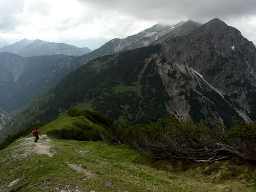
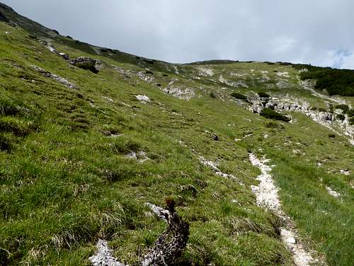
Follow now the easy meadow ridge over some bumps, descending at last into a grassy col in front (west) of the eastern summit of Geierköpfe. The east summit can be reached within 5 minutes (2060m). Descend back to the col west of the east summit and descend over steep meadows until you reach the already visible south slope trail.
- Turn right and follow the south slope trail in some ups and downs back to Kreuzjöchl for the descent back to Plansee trailhead,
- or turn left and follow the south slope trail shortly to Neualpl col for the descent to the trailhead “Bei den Sieben Quellen”.
This traverse can be done
- as described
- first using the south slope trail and then ascending to Geierköpfe east, starting the traverse from there to the west
- coming up to Neualpl col, south slope trail to Kreuzjöchl and then the traverse as described above or
- first summiting Geierköpfe east from Neualpl and the south slope trail and continuing to the main and western summit
A lot of opportunities for one traverse!
Essential Gear
That is a late spring, summer and autumn outing, depending on snow conditions.
It can be done in winter with little snow cover, too.
You need hiking gear and a helmet, if you feel the need.
As belaying is difficult in this frail rock you should master UIAA grade II terrain without belaying. Then it will really be a lovely outing.


