Mount Columbia / Mount Harvard Winter Traverse
My wife Jola and I were looking for a challenging winter ascent, and decided to go for the Mount Columbia / Mount Harvard traverse. The route we chose is via North Cottonwood Creek Trailhead, up Mount Columbia West Slopes, followed by lower traverse to Mount Harvard, and back down via Mount Harvard South Slopes.
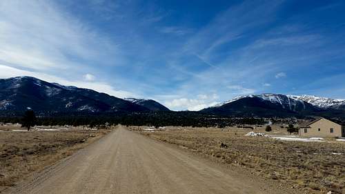
On Friday, January 16th we drove down from Denver area to Buena Vista. The guide book talked about parking around 9200 ft in the winter, as the road would not be plowed past that point. We drove up to about 9000 ft of elevation, but had to go back and park around 8700 on the side of the road, as we didn't have chains and the 4WD had trouble going up the snowy uphill.
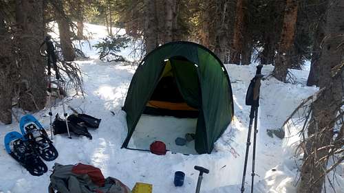
We left the car around 10pm and hiked in up to roughly 9100ft, just past the boundary of the San Isabel National Forest, where we pitched our tent on the snow. Given that next day's 8 mile hike didn't promise to be too difficult, we set the alarm for 7:30am, and went to sleep around midnight.
On Saturday, January 17th we got up around 7:30am, and started moving by about 9am after having breakfast and packing up.
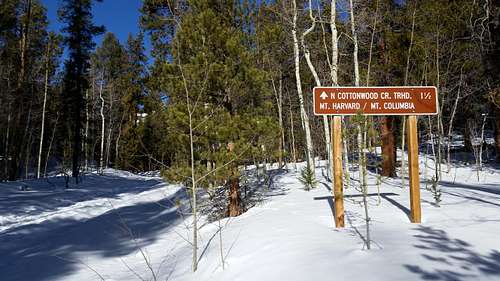
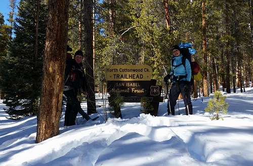
The road was nicely packed almost all the way to the North Cottownwood Creek Trailhead. We put on snowshoes around 9500 ft. Once we got to the trail head, we wanted to sign the log book, but were unable to find it.
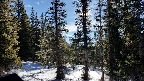
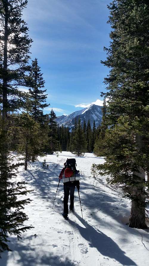
The hike to the "high camp" site was a pleasant one, but the trail wasn't always easy to follow, as parts of it were completely covered with snow, so at times we used GPS to navigate. At some point we passed intersection with snowshoe steps leading to Mount Columbia South West Couloir. We kept going, and camped around 11500, not far from intersection with the West Slopes turn.
There was over 3 ft of snow by our camp site. Since we got to our day's destination and it was still light (it was about 4pm), we decided that since there was no trail to follow to Mount Columbia West Slopes, we would do some reconnaissance, and break the trail for the next morning. We dropped our packs at the place where we decided to camp, and broke the trail up to the start of steeper part of Mount Columbia West Slopes. After tracing back our steps to the backpacks, we set up the tent, boiled water for freeze dried dinners and to keep us warm at night, had dinner, and went to sleep.
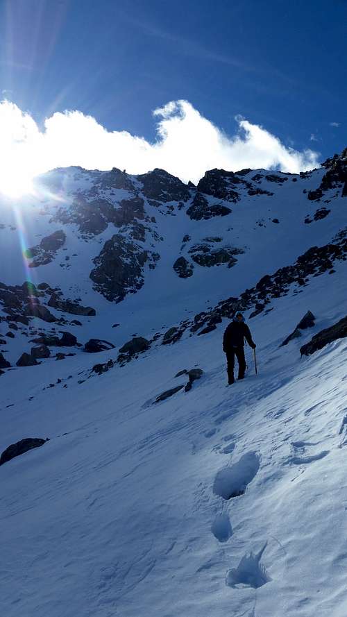
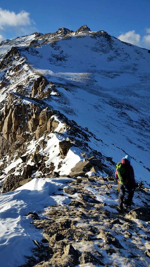
Next morning, on Sunday January 18th, we got up at 5am. After boiling water for breakfast and for the climb, we ate, packed up, and headed towards Mount Columbia West Slopes around 6:45am. We used snowshoes for about 0.25 mile, then got to the steeper parts covered with loose rocks, and put on microspikes. The start of the climb was pretty rocky, alternating between loose rocks, scree, and snow patches.
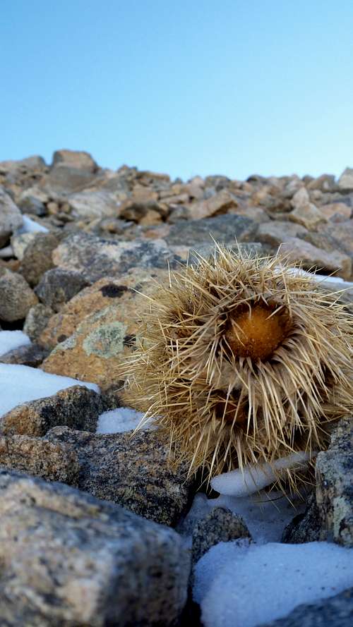
We encountered a couple of these little guys, working hard to survive among the rocks.
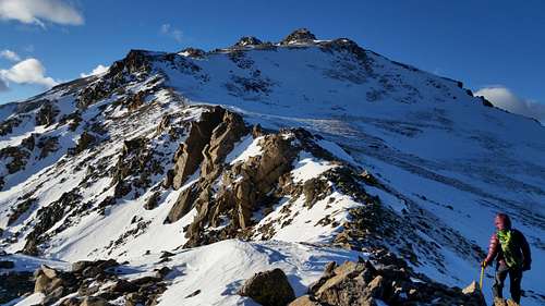
The wind wasn't bad most of the time, except occasional gusts of what felt to be over 30 mph, where we had to stop and bunker down. Last 2/3 of a mile on the top of the ridge was relatively gentle and easy uphill. We got to the top of Mount Columbia around 11:20am.
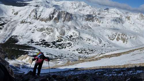
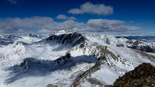
This was the view from Columbia to Harvard and the ridge line.
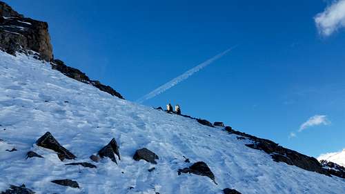
Traverse from Columbia to Harvard was difficult, with much snow. We were passing under some snowy slopes - but the snow felt solid enough. The trail would be very hard to follow without GPS (cairns weren't easy to spot - we saw only a couple the entire way). At some point Jola almost fell through into a snow-covered hole between rocks that was almost 6 feet deep.
And, the rabbit:
It took us a lot longer to get from Columbia to Harvard, mainly due to terrain and navigation challenges. The deep snow near / between rocks slowed us down considerably. Once we got up back to the ridge line, things became considerably easier.
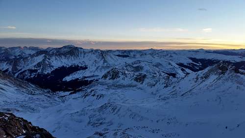
We almost made it to the top of Mount Harvard by sunset, and reached the summit around 6pm.
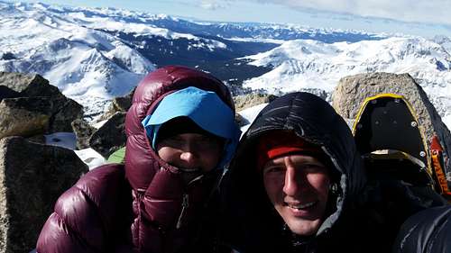
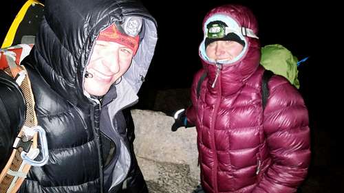
After taking the obligatory summit photo (in total darkness - the moon wasn't around!) we started to look for the way down, which didn't turn out to be obvious. The first couple hundred feet or so of scramble down was somewhat scary and sketchy, starting with a 1000-foot drop on one side, and a class 4 scramble down on the other side. Maybe this wasn't the "right" way, or maybe it just seem so much more intense in the dark. Past the first couple of hundred feet of down climbing the path turned into a combination of rock and snow patches, and we were able to see a few cairns here and there.
We did some butt-sliding down a few hundred feet by the lower elevation. On the way down we saw a helicopter fly by, with a search-light looking around the woods. I guess they saw our headlamps, and pointed the search light at me for a few seconds - I waved back, and they moved on. After a while the slope became too gentle for butt-sliding - we put on snow shoes, and hiked back out to the tent. GPS came in very useful now, as it would be hard to find our way back to the camp in pitch black.
When we got back to the camp site we saw some ski tracks leading up to our tent - someone probably stopped to say hi while we were away. It was around 10:30pm. We boiled some water for the night, had dinner, and collapsed. The climb took around 16 hours!
Next day, Monday January 19th, we got up around 7am.
After having breakfast and packing, we headed back out around 10am.
The trail back was now covered with ski tracks, as it looked like someone cross-country skied it while we were climbing.
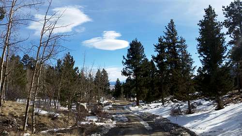
We got back to the car around 2:30pm, stopped by The Trailhead to pick up a couple of 14er summit badges, and headed home.
The weather was great the entire trip - the winds on the summits / ridge line were not too strong (weather forecast said about 20mph and that's what it felt like on the average) - it was sunny the entire trip, and it felt like the temperature never dropped below 0F even on the summit. The entire traverse (past the deep snow part) was doable in micro spikes, but I would feel a little safer with crampons at some point on the hard snow.
Here's the
GPX of our trip.
Comments
No comments posted yet.