
Comments
No comments posted yet.
|
|
Trip Report |
|---|---|
|
|
Mountaineering |
|
|
Spring |
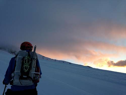
Originally, we were planning on taking the Old Chute to the summit due to my climbing partner’s two previously successful summits up that route and due to our lack of familiarity with either of the Pearly Gates variations. However, when we arrived at the Hogsback, there was a line of people heading up the right side of the Pearly Gates and no boot pack leading up the Old Chute. We decided to follow the more well-traveled route after conferring with climbers who had done the Pearly Gates recently who stated that the route was in good condition.
The narrow “gates” section would have been much faster and much safer with proper ice climbing tools. Climbing a 50 foot water-ice slab would not be bad with a combination of steel crampons and two technical tools but we were ill-equipped for this undertaking and that made it more dangerous than we had planned on. The main concern coming up this route was the run out: a long fall down a 70* snow slope that would be very difficult to arrest.
Aside from the inadvertent ice climbing, the biggest stress were the series of very sketchy and unsafely linked rope teams in front of us (and another behind us coming down the old chute)- but, unfortunately, the climb up Hood is becoming more and more well known for these types of climbers.
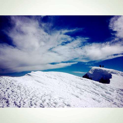
After our spicy experience coming up the Gates, we elected to come down the Old Chute which, a number of parties had also elected to do. The downclimb through this section was, at most 45* and the snow was in pretty good condition for crampon’ing and climbing.
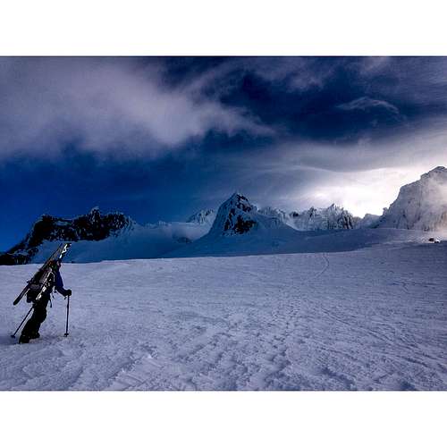
Overall, there is a lot of elevation gain during the climb (it averages out to be over 1,500′/mile- most of the gain occurs in the last mile), and a lot of traffic so be prepared to wait in line or take alternative routes. An alpine start is a must to avoid the crowds. Mount Hood offers a wide variety of climbs of various difficulty. However, even within the easier routes, conditions and the amount of recent traffic on a route can alter the difficulty level.
The Stats:
Total Distance: Approx 7.2 miles (3.5 to the summit; the GPS died)
Time: 9 hours Car to Car
Starting Elevation: 5,810’ (Timberline)
Summit Elevation: 11,236′’
Elevation Gain: 5,426′