
|
|
Mountain/Rock |
|---|---|
|
|
43.68572°N / 110.8826°W |
|
|
Download GPX » View Route on Map |
|
|
Mountaineering |
|
|
Summer |
|
|
10861 ft / 3310 m |
|
|
Overview
Mount Meek rises in Wyoming’s Teton Range to the southwest of Grand Teton. From the northeast, east and southeast, big walls block easy access to the summit of Mount Meek. The northwestern slopes, however, are gentle going down into Darby Creek Canyon. A broad, gently sloped valley that is covered by mudstone, separates Mount Meek from Mount Jedediah Smith to the west/southwest.
A trail starts at Darby Creek Trailhead to the west and takes you up Darby Creek Canyon to near a 9620 ft saddle. You can then walk up to the summit of Mount Meek via its northern ridgeline or the broad valley to the west of it. The summit of Mount Meek will provide you with great views of Grand Teton and its surrounding jagged peaks.
Getting There
Directions to Darby Canyon Trailhead:
From the traffic light in Driggs, Idaho drive 3 miles south on Route 33 and turn east onto W 3000 S. Drive 3.2 miles and turn south onto S Stateline Road. Go 600 ft to where the road turns east and changes name to Darby Canyon Road. Drive 4.25 miles to the end of the road at Darby Canyon Trailhead. Pavement goes away halfway into W 3000 S. When I was in the area, the dirt roads were well graded and appeared passable by any vehicle (in dry conditions).
Route/Trip Report
Darby Creek Trailhead Elevation: 7020 ft
Summit of Mount Meek Elevation: 10681 ft
Roundtrip Hiking Distance: 12.0 Miles
Total Elevation Gain per my GPS (including ups and downs): 4050 ft
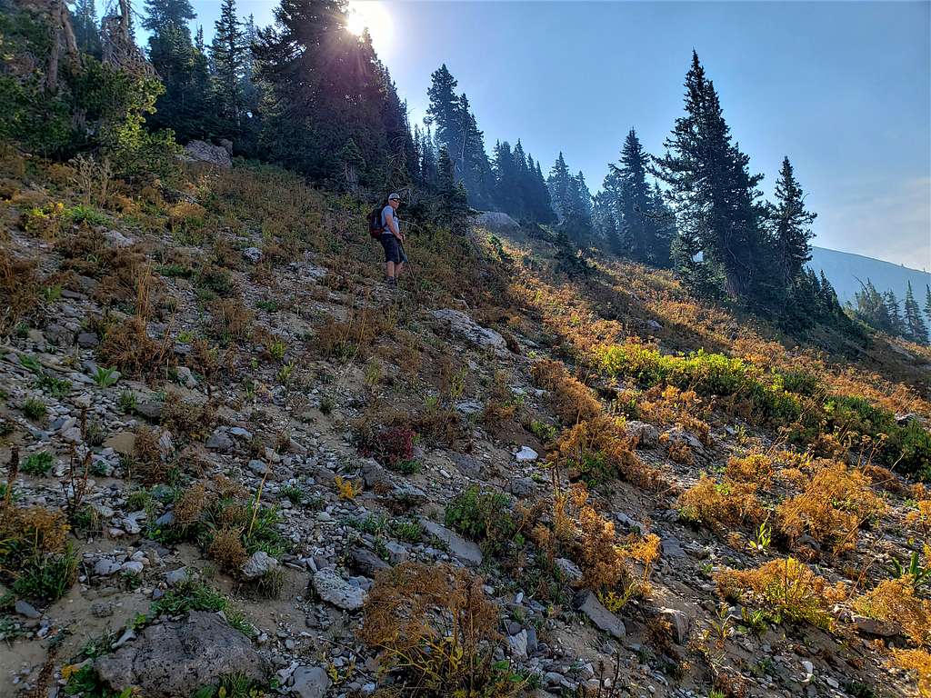
Jeff and I started our hike at Darby Creek Trailhead at 6:50 AM going on Ice Cave (Darby Creek) Trail. In 0.3 miles (before a bridge that crossed the creek), we turned left (north) onto an unsigned, lesser defined trail that began to gain elevation quickly. Across the canyon, could see the South Fork of Darby Creek Canyon, where we had been the previous day going to climb Fossil Mountain.
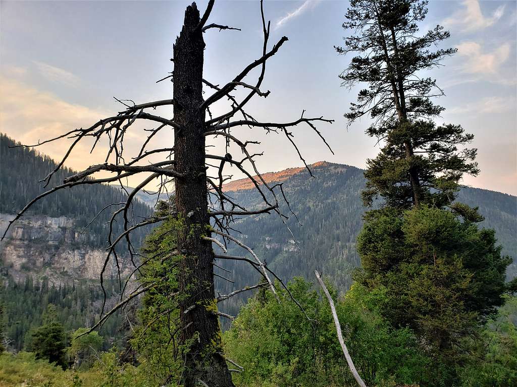
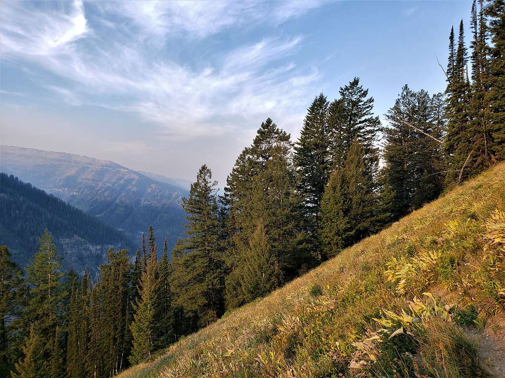
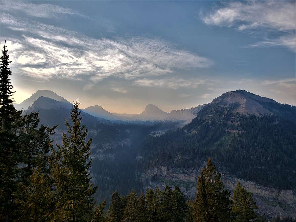
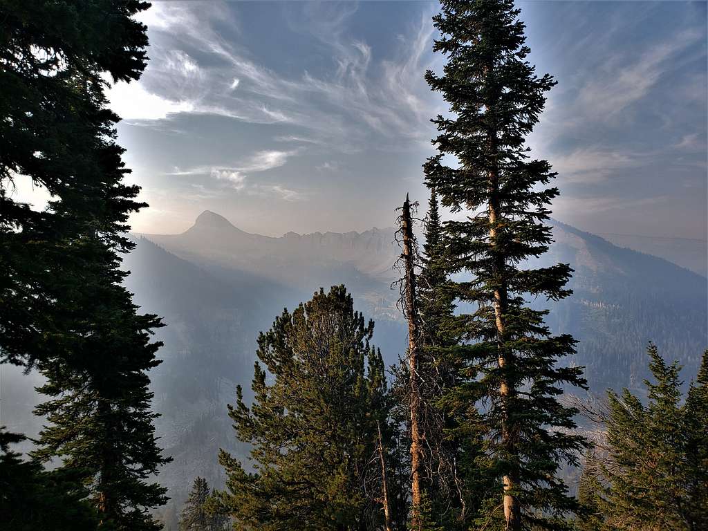
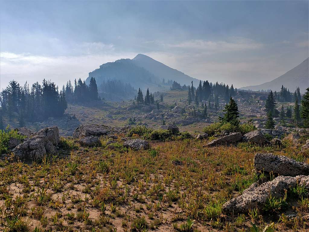
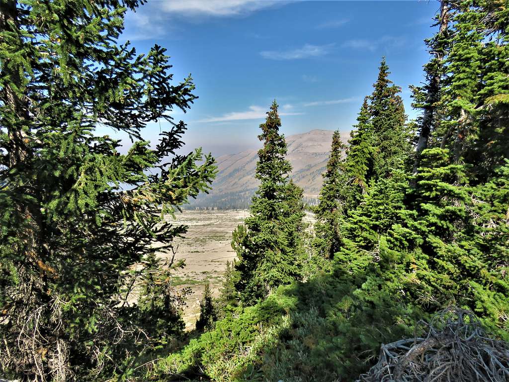
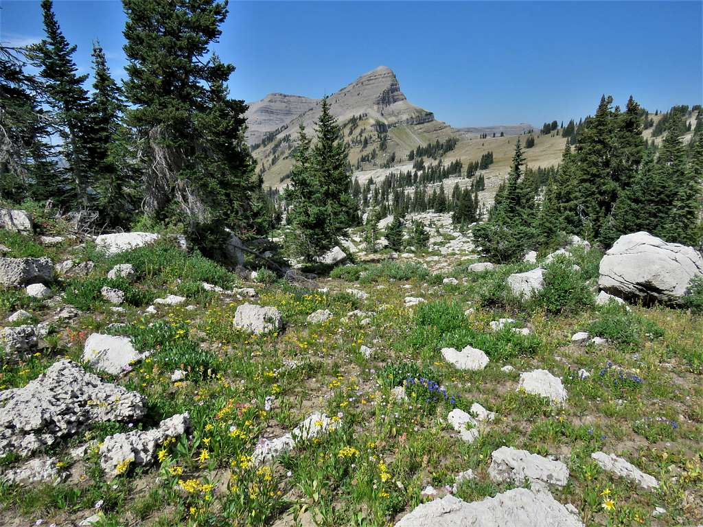
Smoke began to fill the air blurring the views. Did not know where the fire was. Views of Mount Bannon.
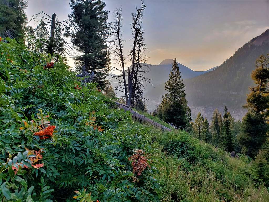
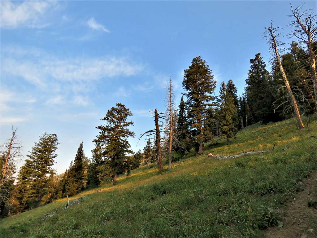
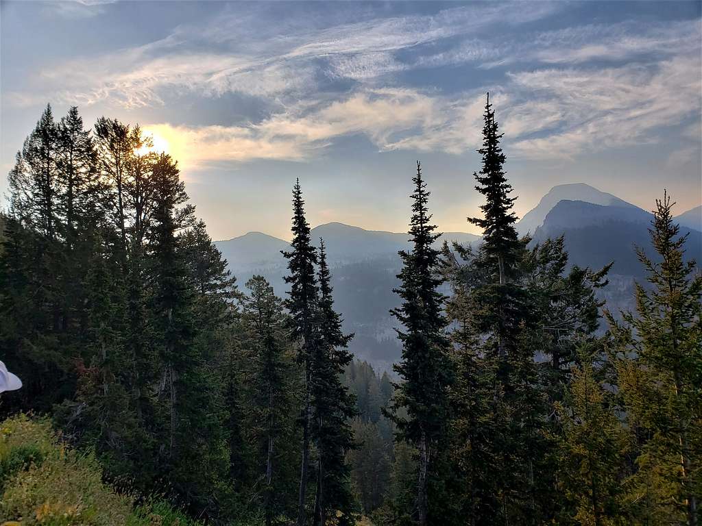
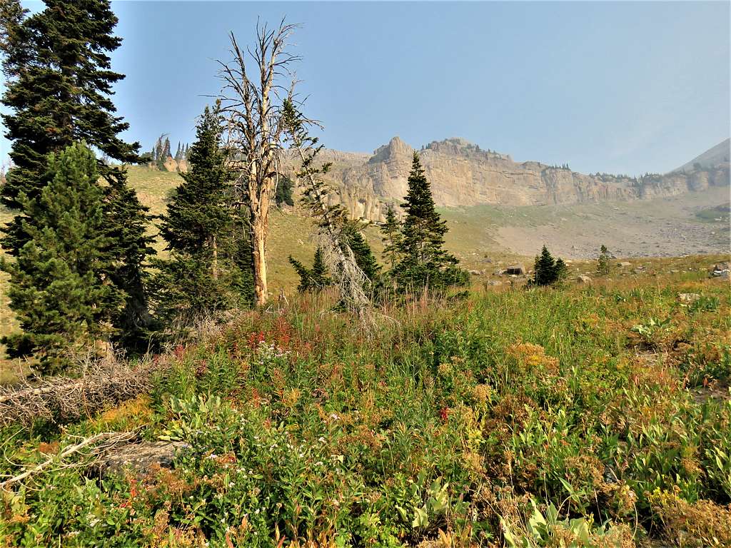
Beautiful forests and meadows.
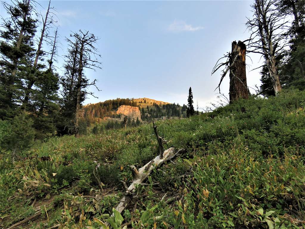
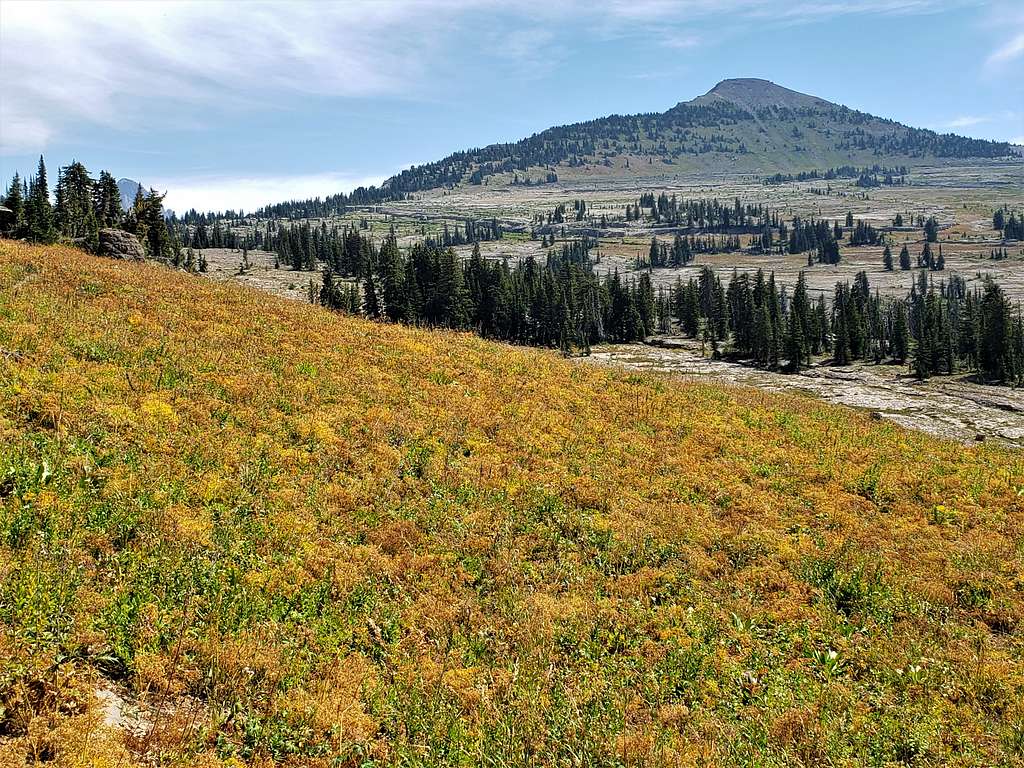
Smoke became much thicker giving an orange hue to everything. Views of Mt. Bannon and Fossil Mountain.
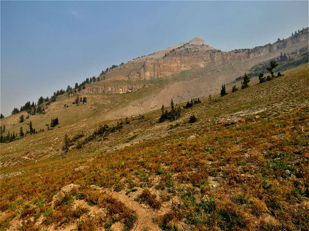
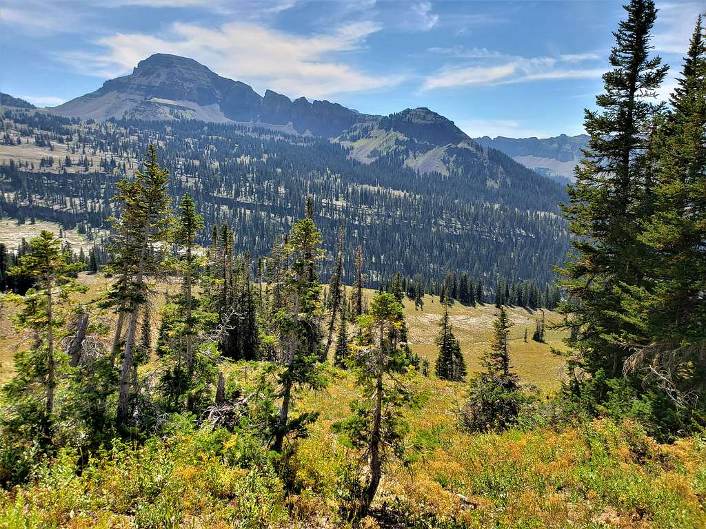
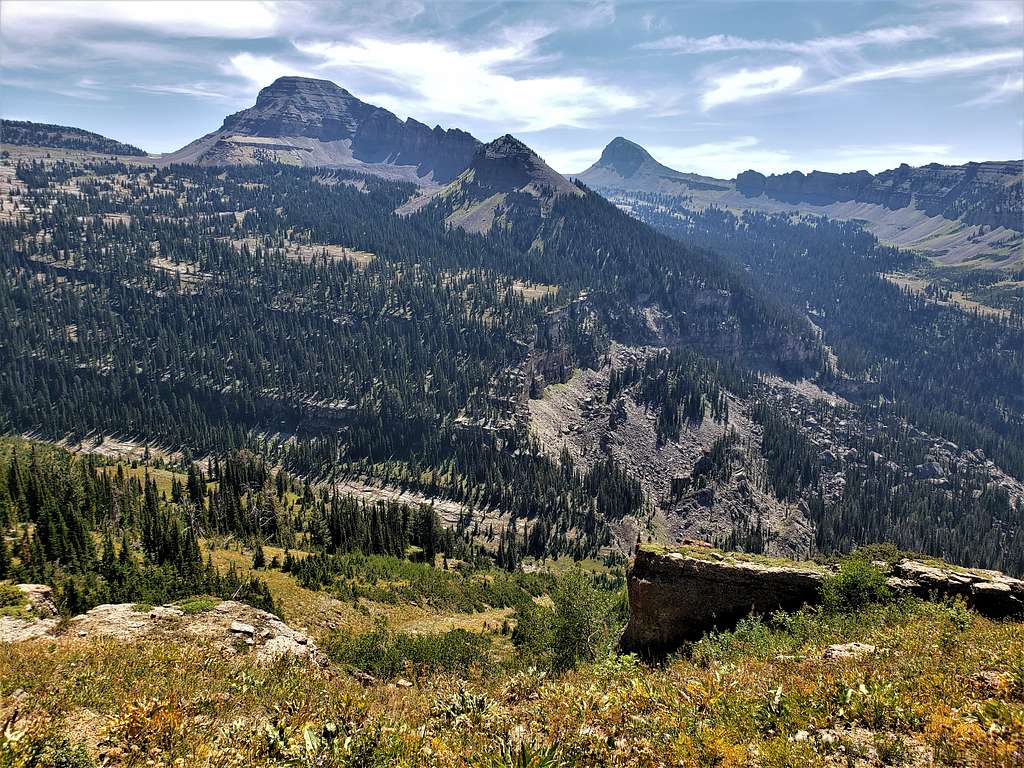
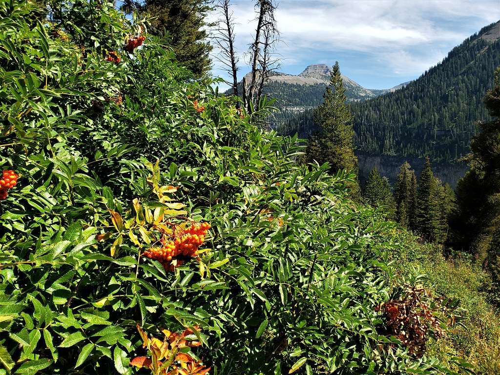
First view of Mount Meek. It still looked like a long way.
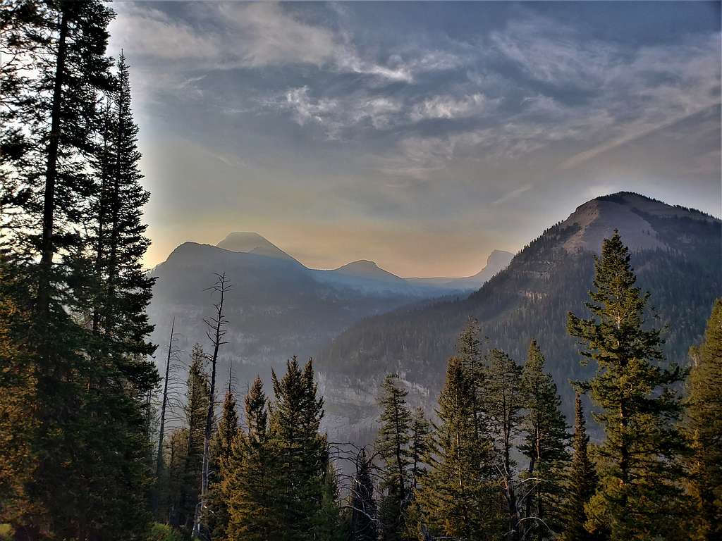
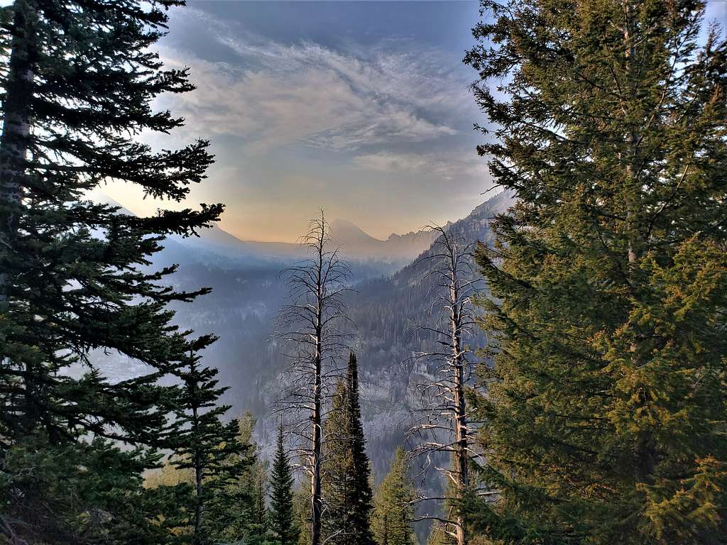
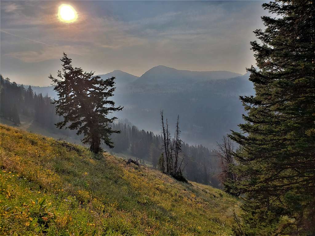
Smoke became so thick that I started to worry that we might not get any views from the summit. Wasn’t exactly healthy either, probably equivalent to smoking a pack of cigarettes for the day. Mounts Meek and Jedediah Smith.
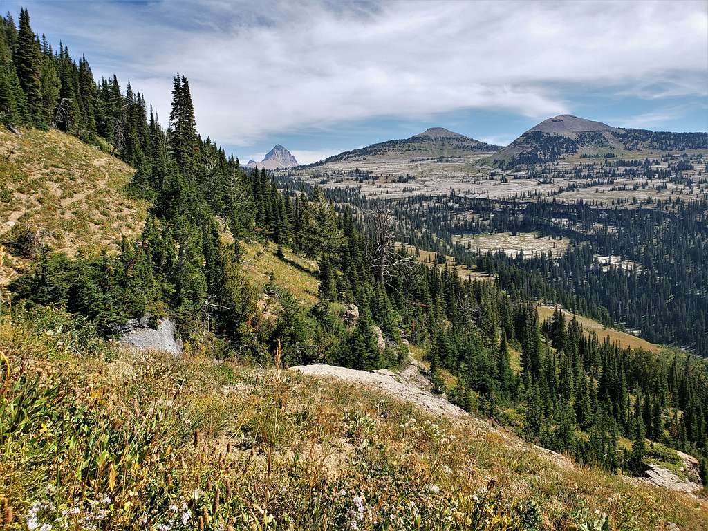
Fossil Mountain.
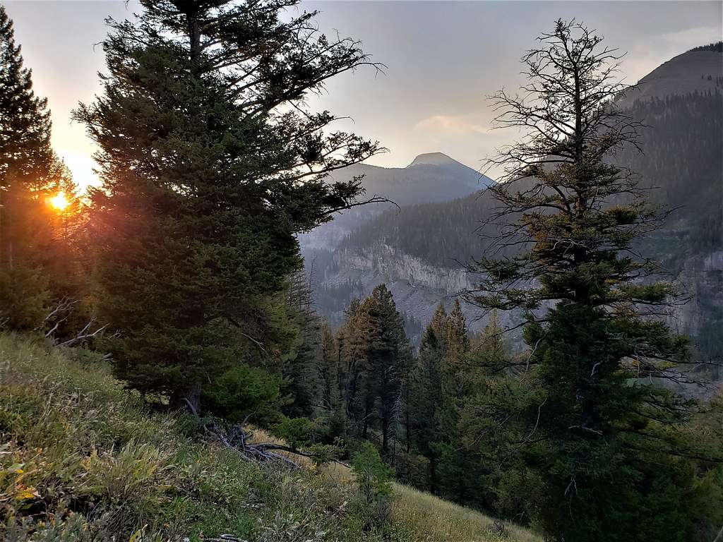
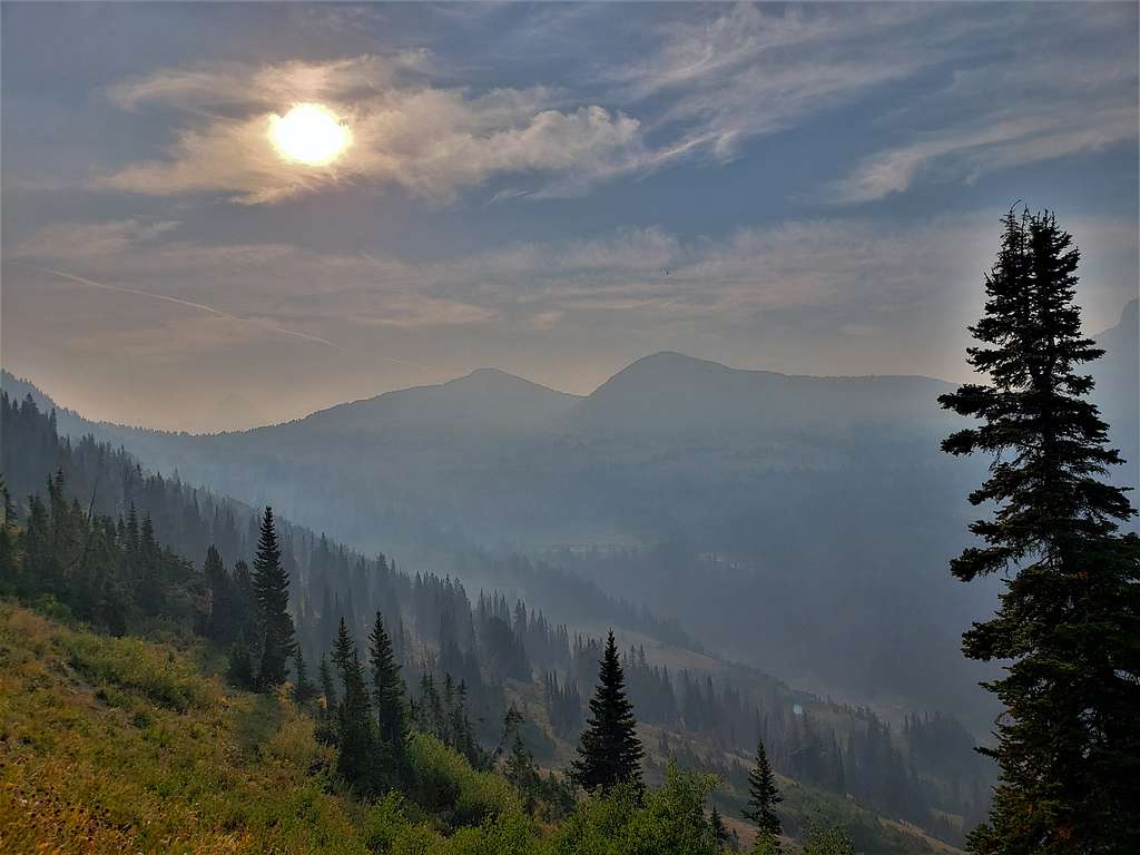
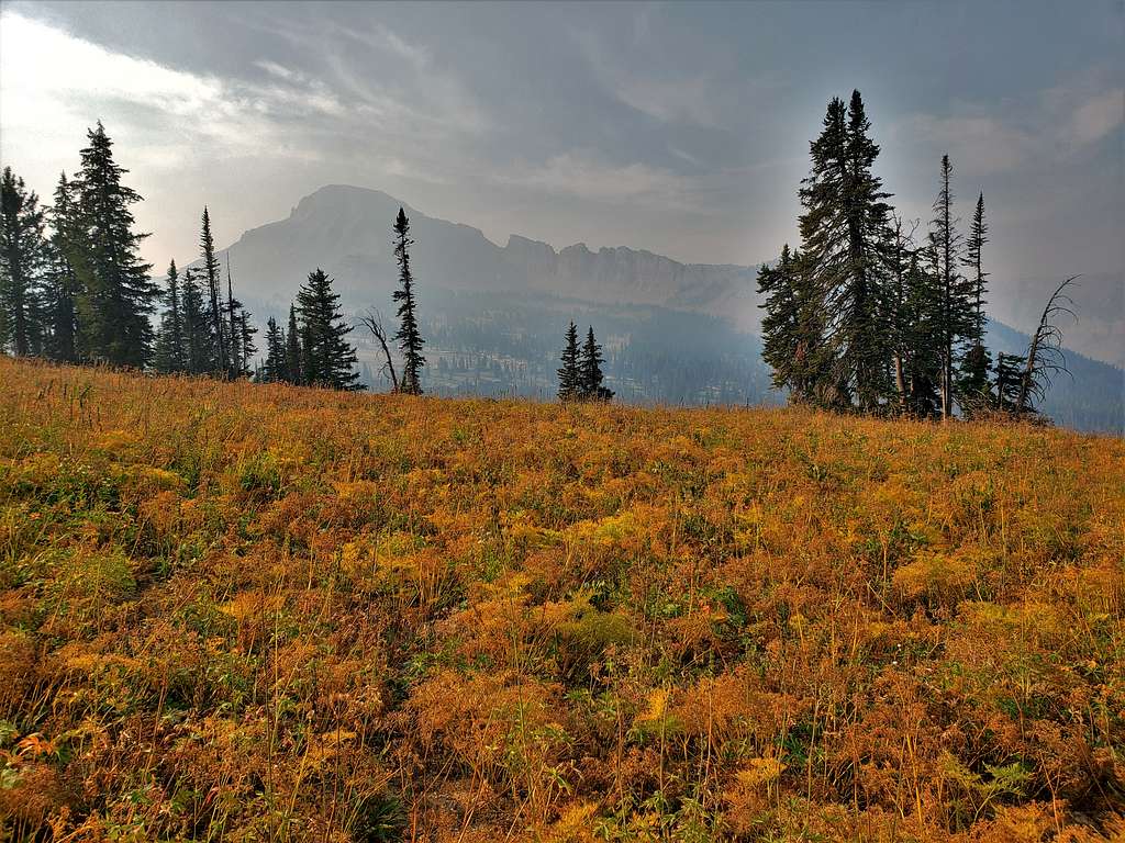
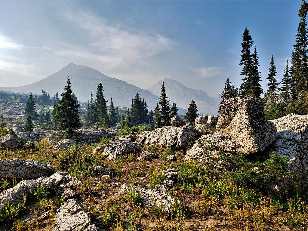
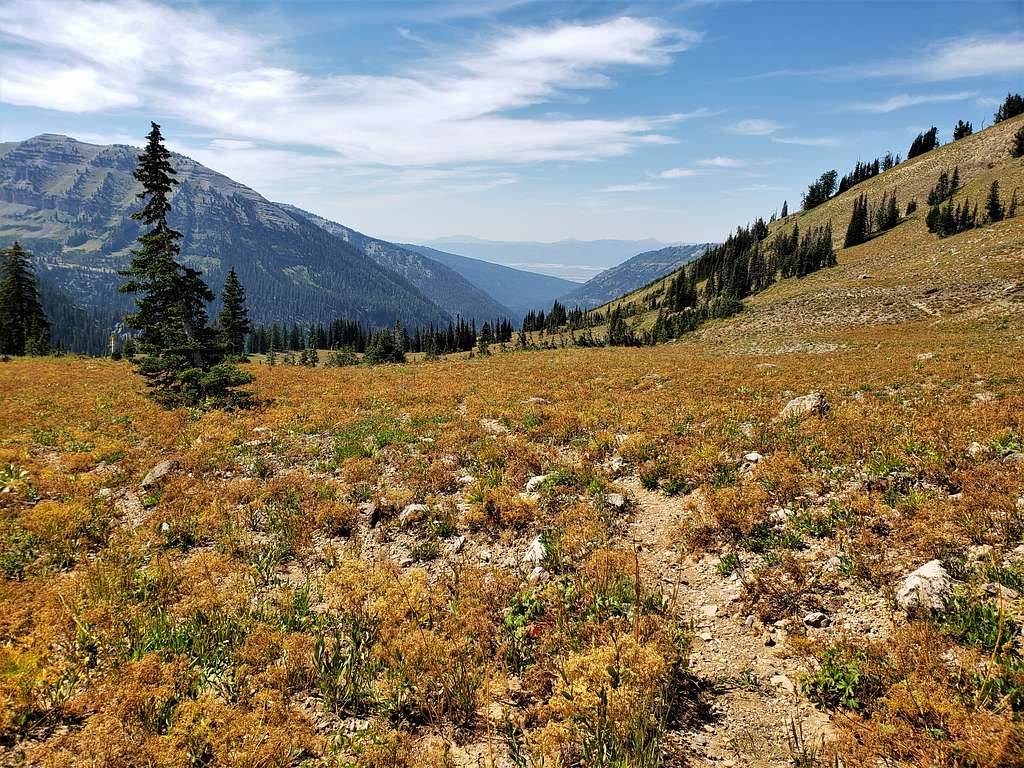
In about 3 miles, we had reached an elevation of 9200 ft. For the next 0.75 miles, the trail did not go up anymore and even did some downhill. Orange grass, sky and cliffs.
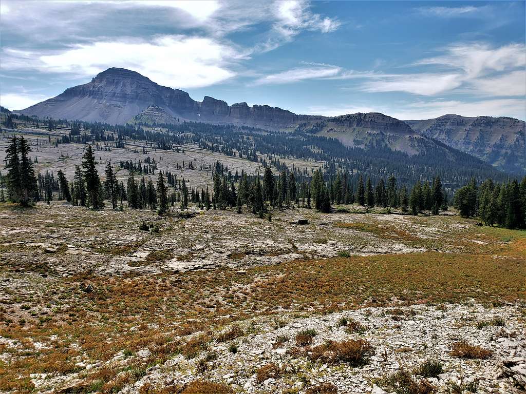
Mount Bannon.
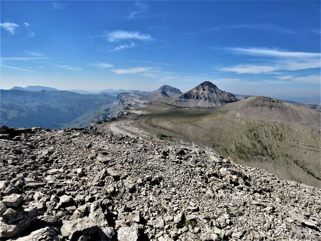
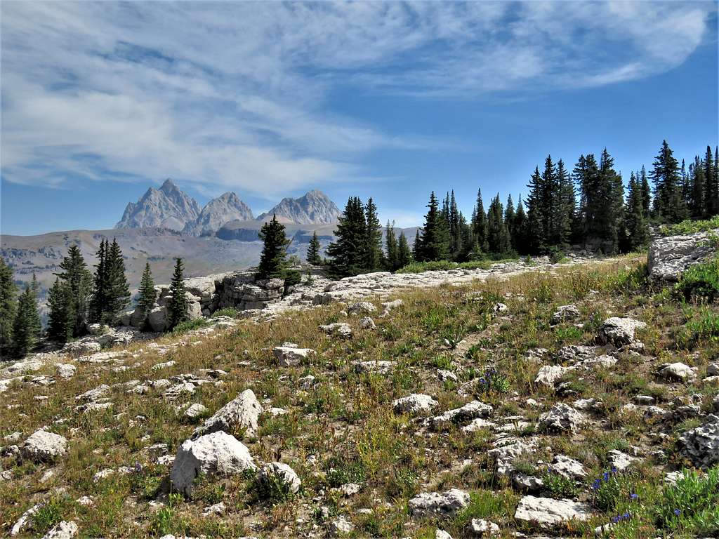
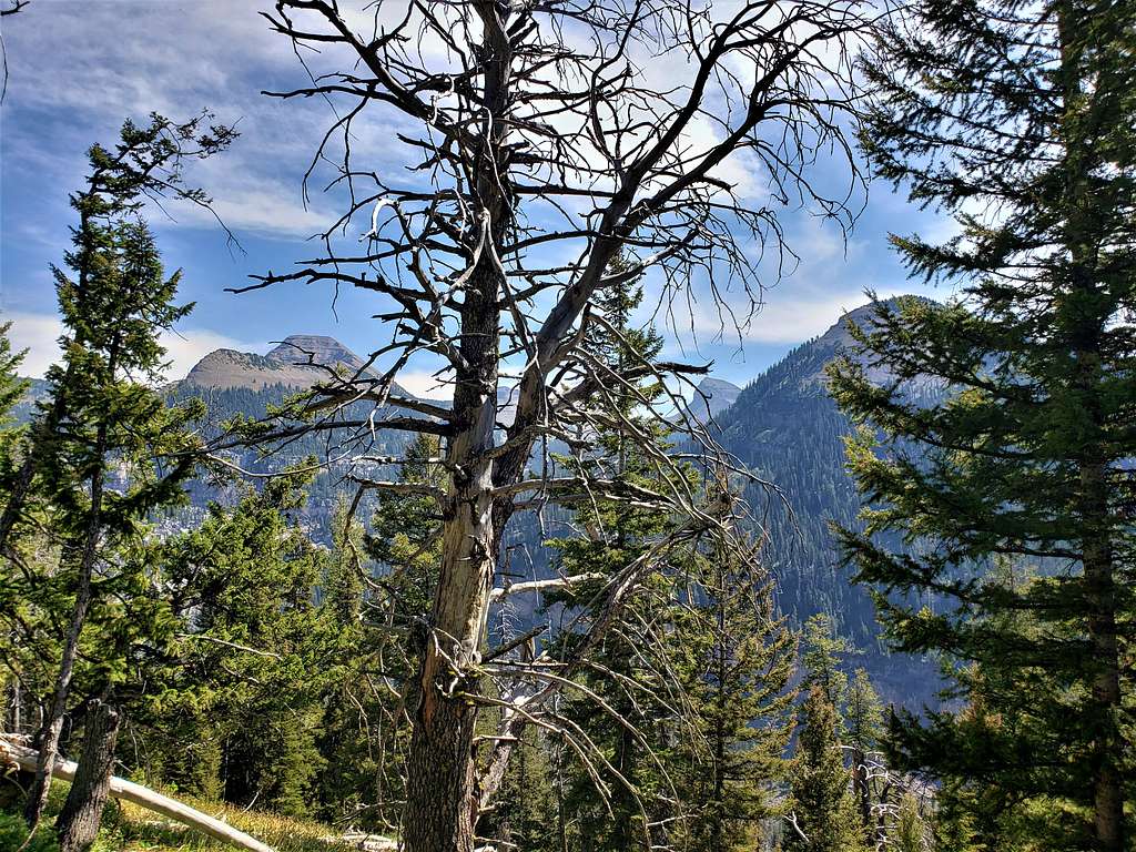
At 10:02 AM and 4.90 miles, we reached the 9620 ft saddle. Smoke completely blocked the view of the Tetons, what a bummer. Mount Meek and its north ridge.
Mounts Bannon and Jedediah Smith.
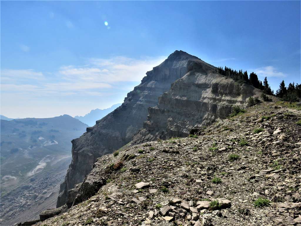
We headed southeast going up Mount Meek’s ridgeline. Looking back at The Wedge.
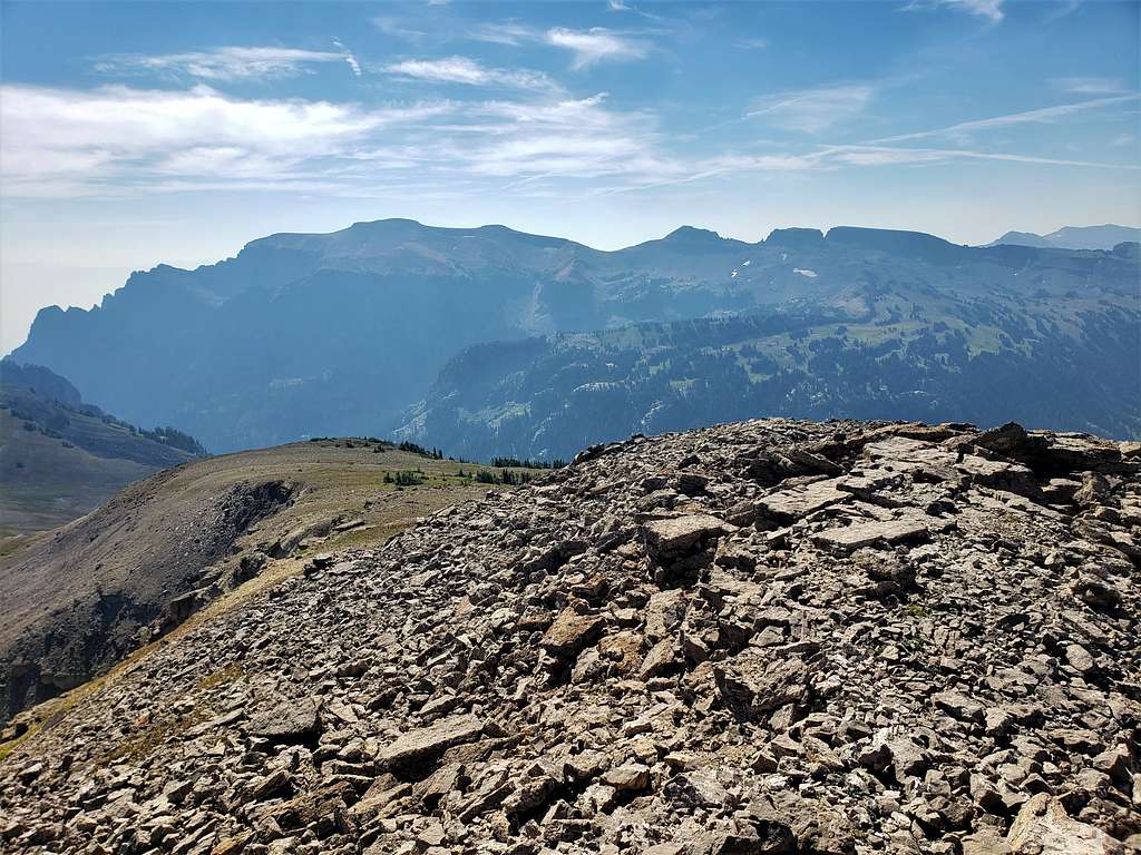
A little bushwhacking took us to the crest of the ridgeline. Looked like the smoke had begun to clear.
View of summit.
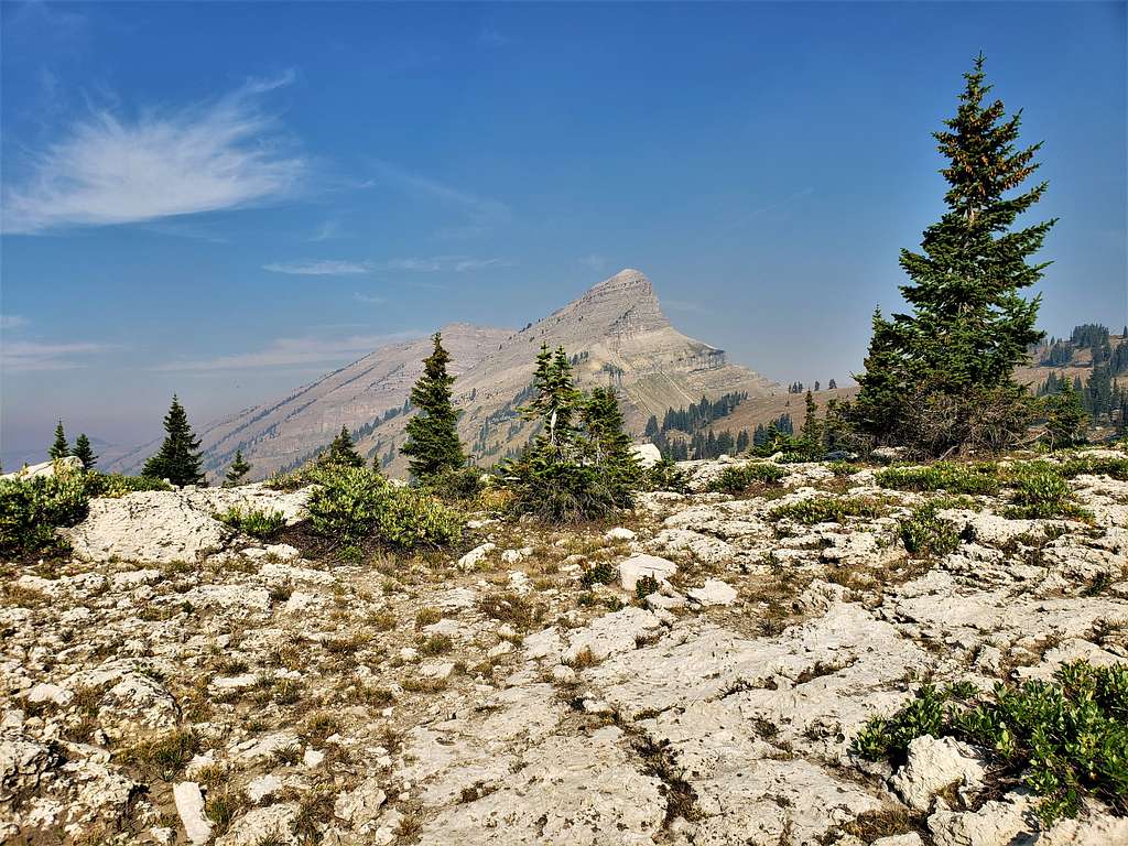
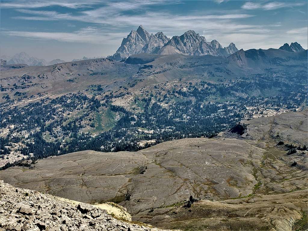
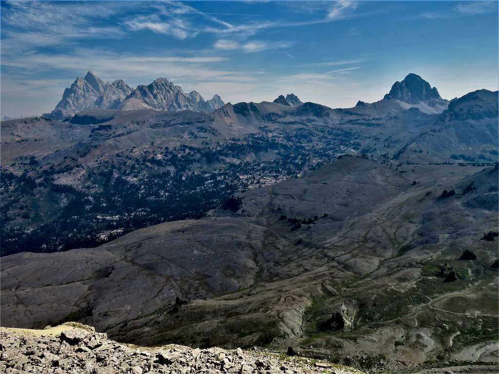
At 11:11 AM and 5.90 miles, we reached the summit. Was glad to see smoke had mostly cleared giving us great views of the Tetons. Mt. Moran unfortunately, remained lost in the haze.
Buck Mountain.
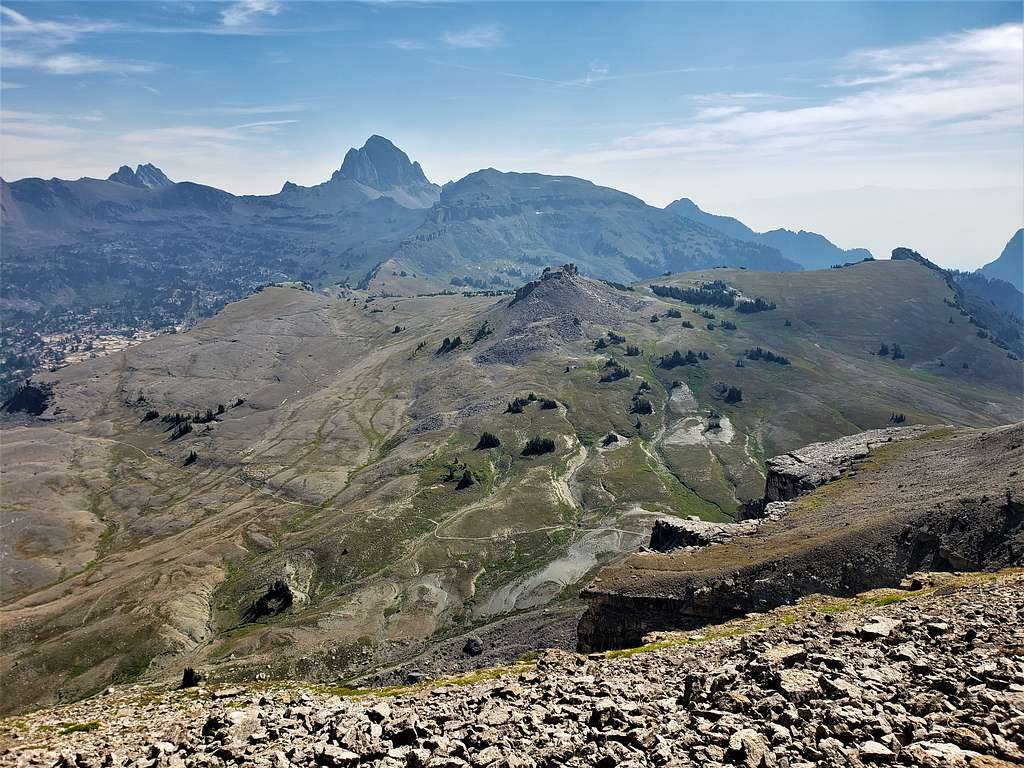
Fossil Mountain, Mt. Bannon and Mt. Jedediah Smith.
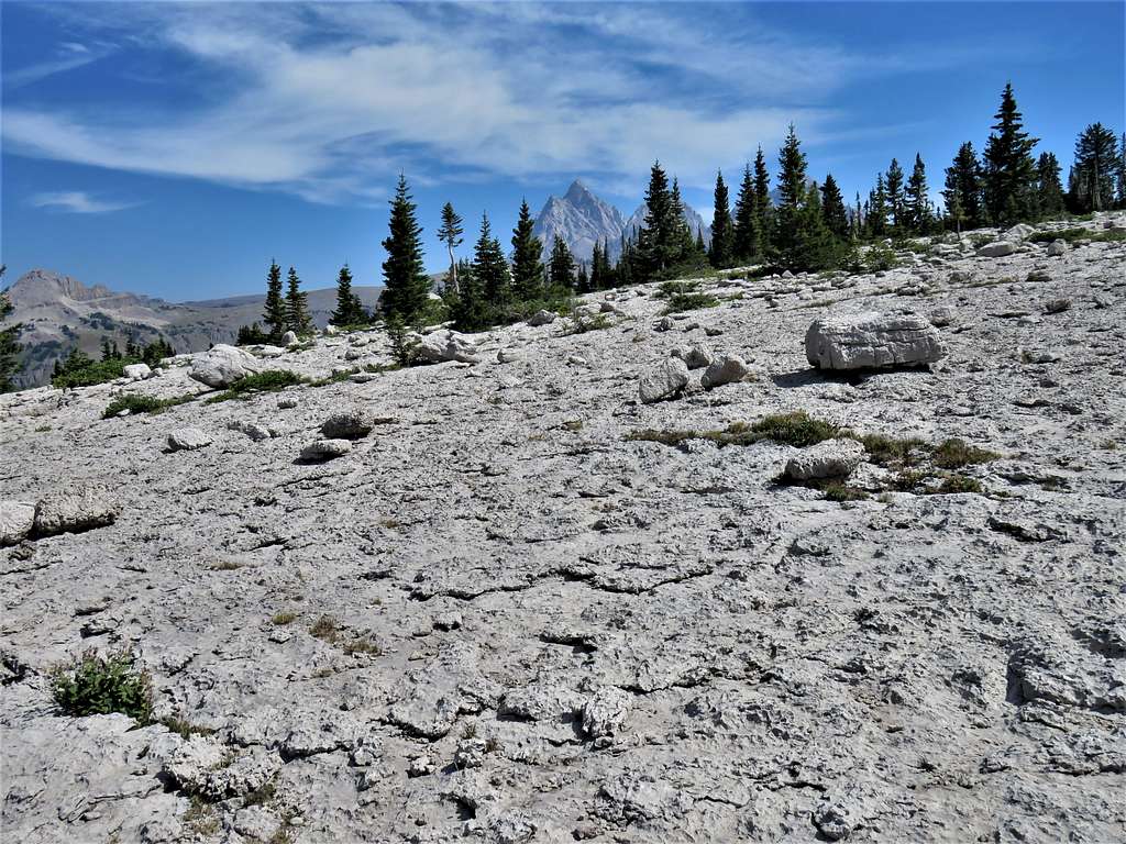
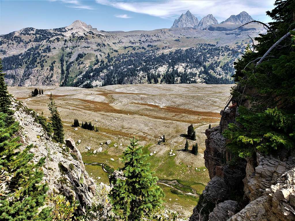
Peak 10643 ft and the broad valley (between Mt. Meeks and Jedediah Smith)
Prospectors Mountain.
After eating and resting, we left at 11:39 AM. I wanted to go into the broad valley between Mounts Meek and Jedediah Smith, so we began to go down the western slopes of Mount Meek. As I had seen on Google Earth, the floor of the valley was covered by mudstone.
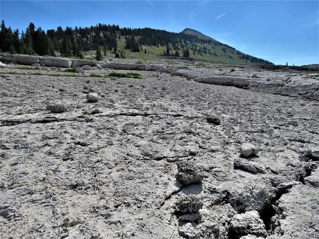
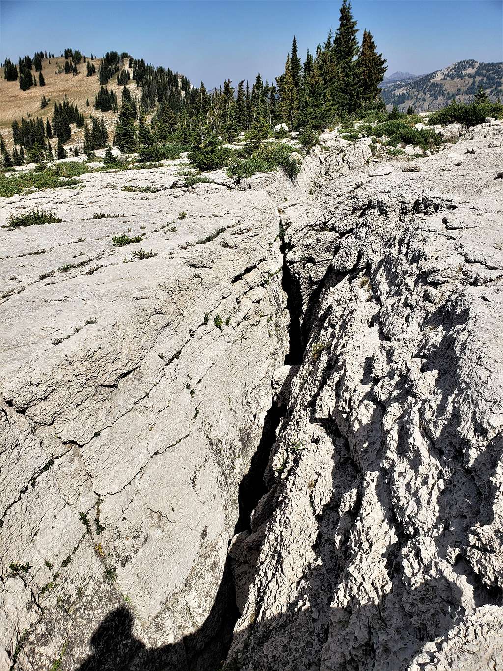
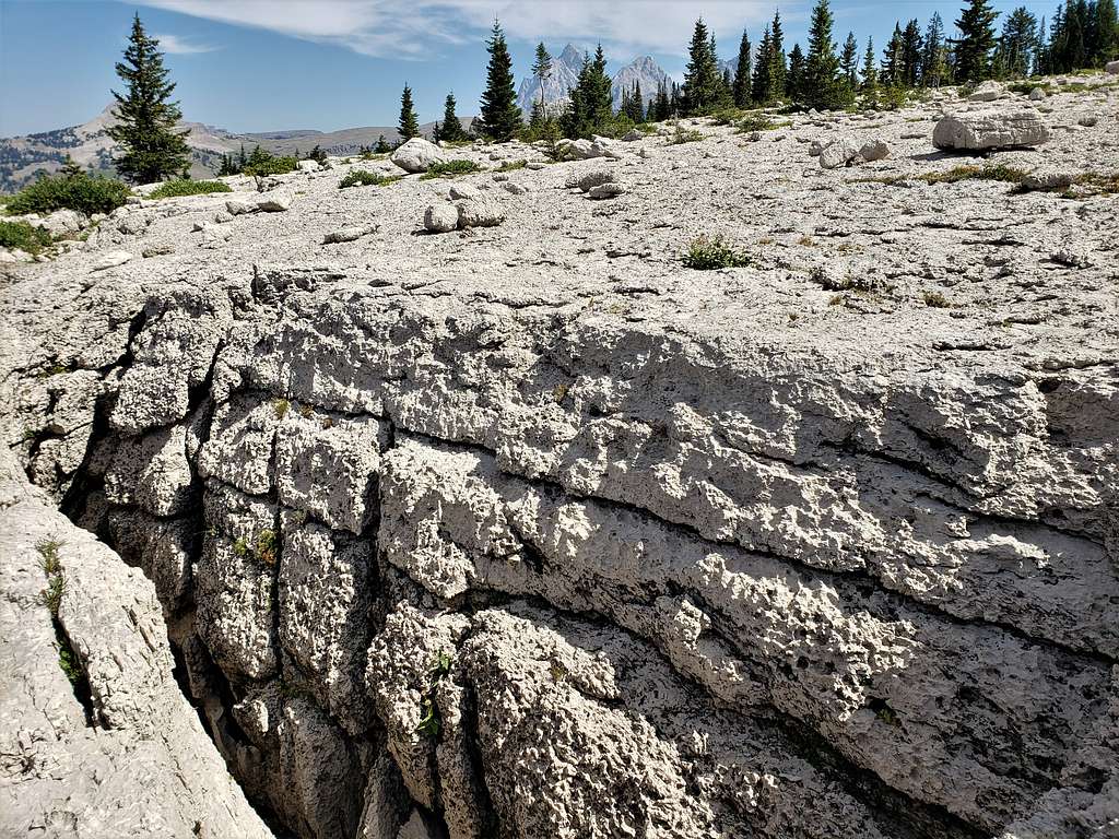
"Crevasses" in the stone.
The Wedge.
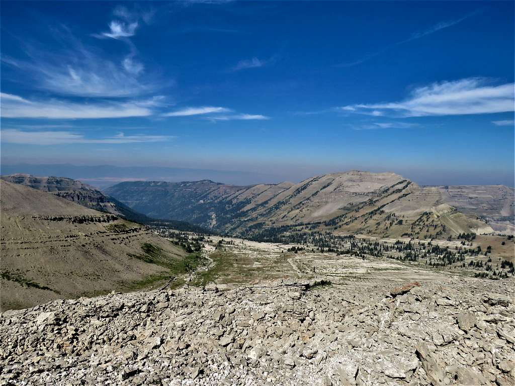
At 12:40 PM and 7.13 miles, we reached the 9620 ft saddle.
Walls below us to the east of the saddle plus The Tetons.
After a short rest, got back on the trail.

Further down.
Back at trailhead at 3:23 PM.
Red Tape
Day hikes require no fees or permits.
When to Climb
Summer.