-
 2384 Hits
-
 75.81% Score
-
 6 Votes
|
|
Route |
|---|---|
|
|
37.22890°N / 118.7215°W |
|
|
Scrambling |
|
|
Half a day |
|
|
Class 3 |
|
|
Overview
One first sees the northeast ridge of Wahoo Peak when entering the Humphreys Basin from the direction of Piute Pass. It looks a bit steep and somewhat loose at first.Getting There
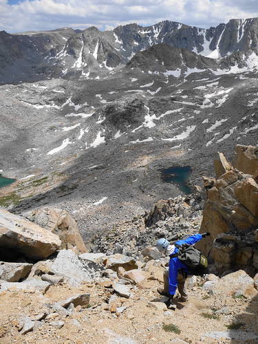
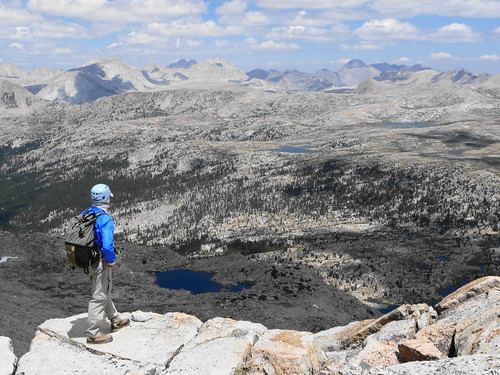
The trailhead is the same as for the Northwest Ridge (North Lake). Hike up over Piute Pass, then descend to the area of Upper Golden Trout Lake. The NE Ridge will soon be visible.Just head cross-country towards the ridge. There is a large amount of talus on the east side of the peak, and we elected to trend a bit west towards some slabby-looking ramps to avoid most of that (illustrated in this pic).

Route Description
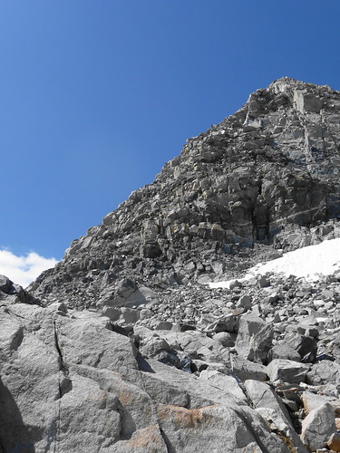
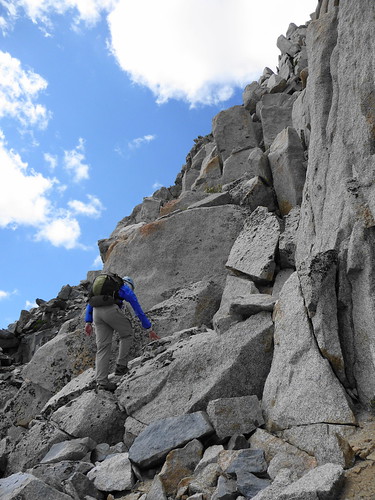
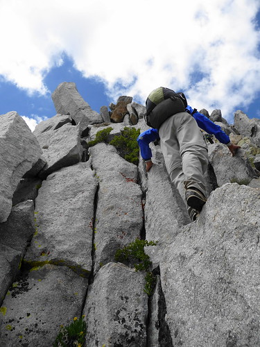
We thought the lower part of the route was somewhat loose; be careful not to knock rocks down on your partner(s). We trended a bit left of the true ridgeline to keep the difficulty down to class 3, but there were steeper sections if you prefer.Rock quality seemed to improve as we ascended. There is something of a shoulder, which on the approach looks like a false summit (see this pic). We just climbed up to it and traversed easily on class 2-3 rock to the true summit.
Here are a few more shots, courtesy of Laura Molnar -
Descent
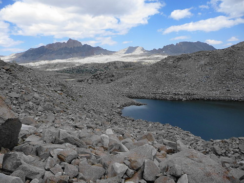
One may wish to descend the climbing route or the NW ridge.We descended the east face, which has some class 2-3 rock initially, followed by sandy slopes to the vicinity of the Wahoo Lakes. This at first seems logical -- however to get back to the trail from there required a lot of unpleasant talus-hopping.
Some more of Laura's pics of the east face descent -