
-
 1425 Hits
-
 77.48% Score
-
 8 Votes
|
|
Mountain/Rock |
|---|---|
|
|
47.34418°N / 15.50164°E |
|
|
Hiking |
|
|
Spring, Summer, Fall, Winter |
|
|
5079 ft / 1548 m |
|
|
Topographic isolation: 4.6 km
Nearest higher peak: Hochlantsch (1720 m)
Prominence: 310 m
Overview
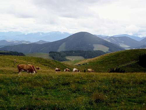
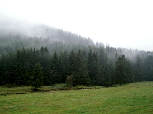
Osser is the second highest peak of the mountain range called Grazer Bergland. It is 1548 meter high. The highest peak of the mountain range is Hochlantsch. The valley of Mixnitzbach separates Osser and Hochlantsch. The valley has a wider section just between the two mountains, with a marshy land there. Teichalm with the lake called Teichalmsee can be found here. Teichalm is a popular tourist destination, with several hiking destinations from there. One of the opportunities is to have a tour to Osser. The mountain has steep hillsides, covered by spruce-fir forests. There are meadows at the hillfoot, along the valley of Mixnitzbach.
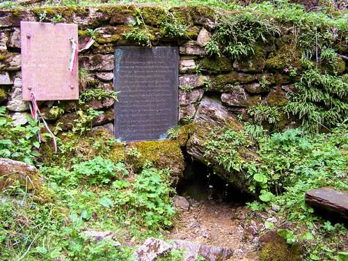
The spring of Raab can be found here, 1 km east of the peak. The spring is accessible on a marked tourist path. Raab is a well known river in Austria and in Hungary, with a length of 290 km and with a basin size more than 10 000 km2. Raab (called Rába in Hungary) confluences with the Danube at the Hungarian city called Győr. The German name of that city is Raab – the same as the name of the river.
Osser makes part of the watershed of two important tributaries of Danube: the already mentioned Raab and the even more imprtant river Drau. It means that a raindrop falling on the two sides of Osser will have a quite different journey: water on the southern and eastern slope will flow from Austria to Hungary before getting into the Danube, while a raindrop on the northern slope will get from Autria to Slovenia, and then to Croatia where it will get into the Danube.
Routes
Here are three recommended tours:
| Trailhead | What to see | Distance (with return) | Elevation gain |
| Gasthof Holzmeister | Schwoabauerkreuz | 4 km | 318 m |
| Angrwirt | nothing special | 4.2 km | 353 m |
| Passaril | Source of Raab | 18.6 km | 890 m |
Red Tape
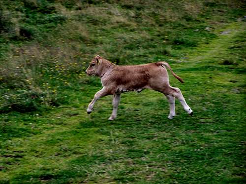
No red tape. Take care of the cows. And please respect the nature!
When to Climb
Any season
Camping
Nearest camping: Camping Almenland, in Tober, at 670 m a.s.l., in 10 km distance from the peak.
Nearest huts:
- Holzmeisterhütte, at Teichalm, at 1225 m a.s.l., in 2 km distance from the peak
- Almhütte Angerwirt, at Teichalm, at 1200 m a.s.l., in 2 km distance from the peak
External Links
My recommended online maps: