-
 126 Hits
-
 75.81% Score
-
 6 Votes
|
|
Mountain/Rock |
|---|---|
|
|
Hiking, Skiing |
|
|
Spring, Summer, Fall, Winter |
|
|
7238 ft / 2206 m |
|
|
Overview
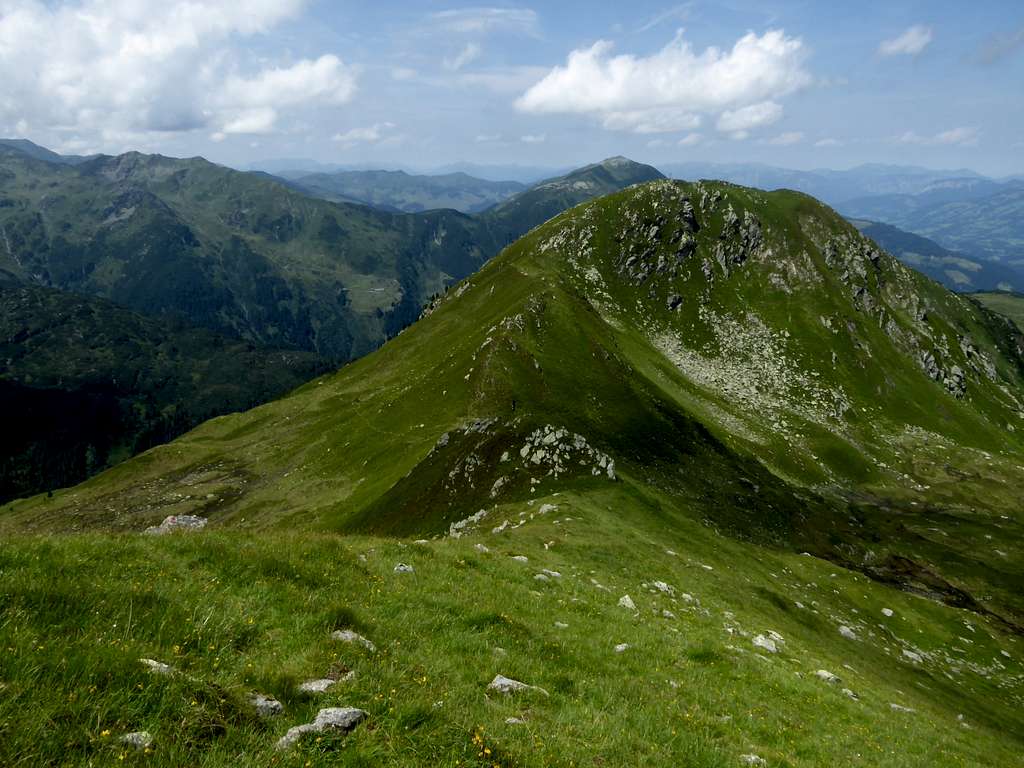
As there exist quite a lot of Gamskogel summits within the Alps: this is information about Gamskogel / Windau valley / Kitzbüheler Alps.
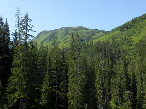
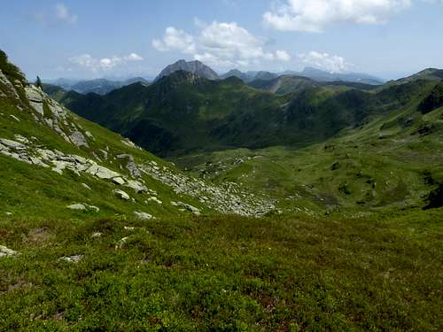
Gamskogel is situated on a side ridge of the Geigen main ridge within Kitzbüheler Alpen and forms one of the highest peaks of this subregion. Located in the south of Geigen range, Gamskogel is the immediate neighbour of the Speikkogel / Steinkogel summits, highest peaks of this region.
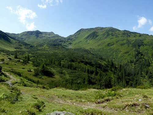
Situated between the huge Neualm cirque and Neualp valley / Miesenbach Alp to the east and Filzen valley to the west, Gamskogel is separated from Steinkogel and Speikkogel by an unnamed col.
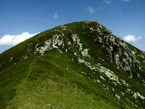
Trails reach Gamskogel only from the north, a southern access is possible only by a traverse of Steinkogel. The northern ascents, however, are beautiful and in parts very remote. Though being an easy hiking undertaking, the Gamskogel ascents need a good sense of orientation, especially the north ridge route (see below).
The hiking routes are mostly the ski tour routes, too. As the upper Windau valley toll road opens up late in spring you normally have to start far away from the summer trailhead (Krumbach parking area) at the Steinberg alpine inn parking area and a good part – nearly 7 km! – has do be done by foot or on skies on the toll road to reach the summer trailhead. So I think, is a very special ski tour …..
Getting There
The main trailheads for Gamskogel are
To the north:
- Windau valley, parking area below Foisching Alm
- Windau valley, Krumbach parking area
To the south:
- Trattenbachtal parking area
Windau trailheads by car
- On Austrian highway A 12 (toll road), exit Wörgl Ost
- Go on road number 178 and then on road number 170 direction Hopfgarten
- Proceed on road 170 to Westendorf
- For Windau valley trailheads cross Westendorf center and proceed on the road “Dorfstrasse”, then “Holzham” and “Vorderwindau to the toll station.
- Follow the toll road (named “Hinterwindau”) to the above listed trailheads / parking areas
Pinzgau trailhead by car
- Pinzgau valley can be reached from the Zillertal valley via Gerlos Pass, from Kitzbühel region via road number 161, Pass Thurn and from Salzburg region via road number 311.
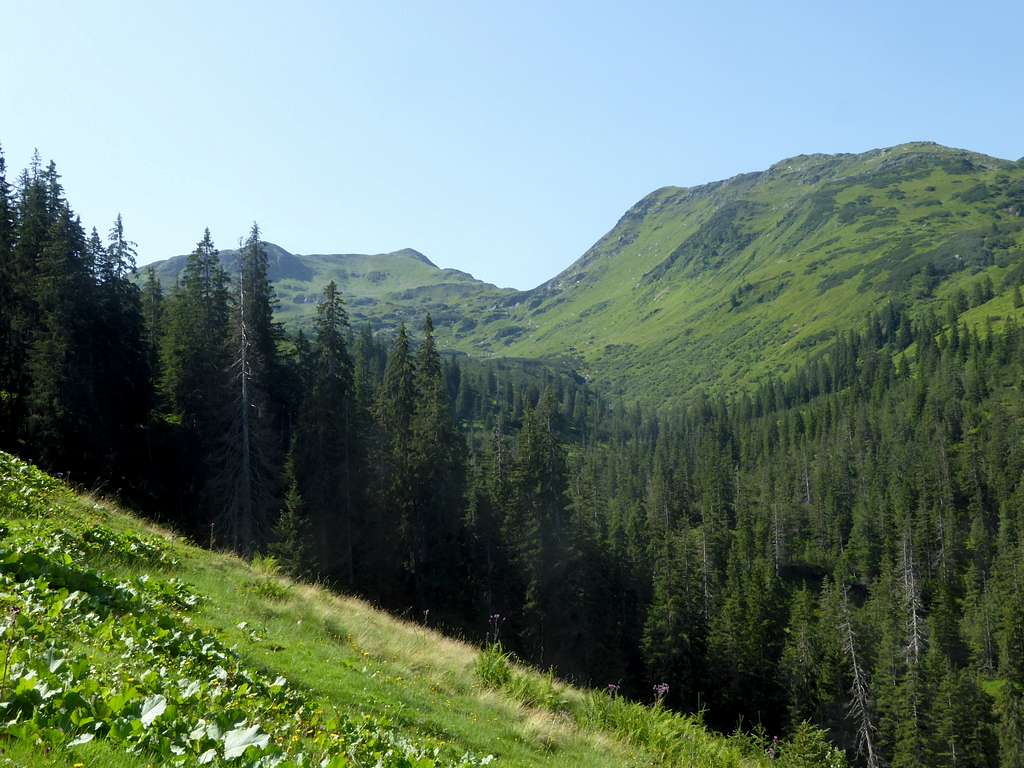
- Cross the center of the village Neukirchen am Großvenediger and go on road “Roßberg”, which leads you up to the Trattenbach parking area, located on a height of 1310 meters.
Public transportation
- Windau trailheads cannot be reached by public transportation.
- The nearest railroad station is Westendorf. Bus 4051 goes as far as Westendorf village center.
- Nearest railway station for Pinzgau trailhead is Lokalbahnhof Neukirchen. Bus number 670 serves the roads in Pinzgau.
- There is no public transportation for the trailhead Trattenbachtal.
Routes Overview
North routes
Parking area Krumbach
- Take the forest road to Oberfoisching Alm
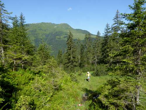
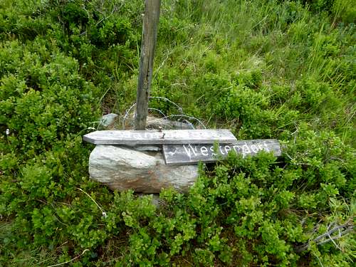
- Follow a trail leaving to the left above Oberfoisching Alm hut up to the broad north ridge; the trail has some old marks and is not maintained. It disappears when arriving at the abandoned Alm region of the lower Gamskogel north ridge, called Tagweider Tretl.
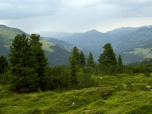
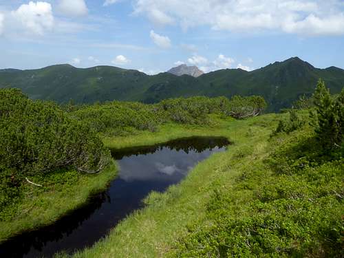
- Pass a small lake and look out for foot tracks to your left, leading up the dwarf pine zone of the north ridge.
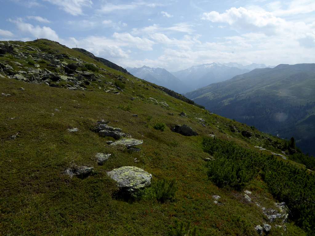
- Some 100 meters up you will regain the still unmaintained and unmarked trail which leads you up the ridge to the summit.
I recommend this route as descent route!
This is one of the two ski routes, too; normally it’s the downhill route!
Parking area below Unterfoischingalm
- Take the forest road to Unterfoisching Alm.
- First possibility: Take the forest road and, at its end, a trail up to Oberfoisching Alm and continue as described above.
- Second possibility: At the road junction at Unterfoisching Alm go straight on and follow the forest road into an small valley.
- Take the marked and signposted trail, branching off to the right and ascend into Neualp valley, corssing Neualpbach on a wooden bridge.
- Gain the forest road and follow it to Miesenbachalpe.
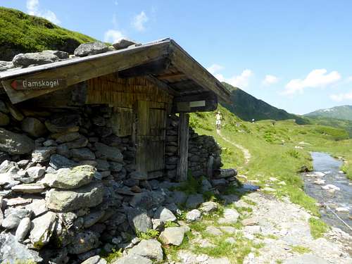
- Follow the marked trail into upper Neualp cirque to an abandoned hut.
- After the hut take the right hand trail up to the unnamed col and gain the summit steeply via the south ridge.
I recommend this route as ascent route!
This is the second ski route to Gamskogel, too. Normally its done as ascent route.
South route
- The south route needs to cross Steinkogel / Speikkogel. Look there for the south route to these summits.
- To gain Gamskogel descend from Speikkogel on the north ridge to the unnamed col south of Gamskogel.
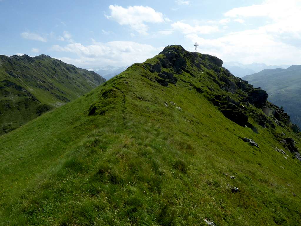
- Gain shortly the summit on its south ridge.
Red Tape & Accommodation
Red Tape
No Red Tape, as far as I know.
The road to the trailheads into Windau valley is a toll road.
Accommodation
Mountain huts:
no mountain huts around
Gear & Mountain condition
Gamskogel is an easy hiking summit and requires good hiking gear. Hiking poles and gaiters can be useful in late spring and late autumn.
Gamskogel is a ski tour, too. It is done in winter and early springtime. You need full ski tour gear and avalanche gear.
See the avalanche bulletin here.
Valley weather Kirchberg / Tirol
Mountain weather Steinkogel
Maps
Alpenvereinskarte 1 : 50.000; Kitzbüheler Alpen West, Nr. 34/1, Deutscher Alpenverein, 2010; - topo map with trails
Alpenvereinskarte 1 : 50.000; Kitzbüheler Alpen West, Nr. 34/1 S, Deutscher Alpenverein, 2010; - topo map with ski routes
Austrian Topo Maps:
Österreichische Karte 1 : 50.000 - UTM (ÖK50): number 3219, Neukirchen am Großvenediger


