
|
|
Route |
|---|---|
|
|
36.25230°N / 137.64638°E |
|
|
Hiking |
|
|
Spring, Summer, Fall |
|
|
Less than two hours |
|
|
T1 |
|
|
Overview
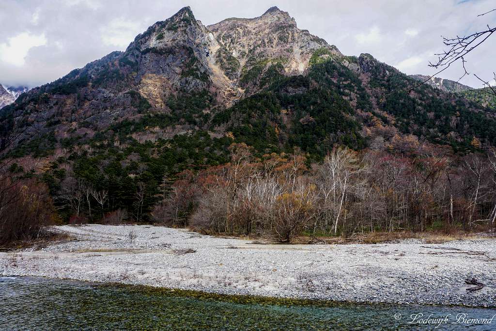
Myojin-dake peak (2931 m / 9616 ft)
The trail from the famous Kappa Bashi bridge to Myojin is a scenic easy hike along the eastern shore of the Azusa river. The trail is 3.0 kilometers long and takes 60 minutes to complete. The trail is easy and straightforward. The gradation is T1 and therefore an easy hike. The trail starts at the Kappa Bashi bridge, which is near the visitor center and the bus stop. Because the Kappa Bashi bridge is near the bus station, there are always ( a lot of) people present here. But most people do not go further than the bridge, so if you start on the trail to Myojin, soon you will be alone again.
The trail along the Azusa River leads from Konashi-daira to the forest. You should have a view of Mt. Choga-take as you progress along this path. Also you have views on Mount Myojin Dake. Following the trail you will come across traces of volcanic mud flows at Shimoshira-sawa on the bank of Azusa-gawa River. You can also see some young plants such as willows and alders in the forest. The trail ends at the Myojin bridge after about 60 minutes of hiking. From here it is possible to continue your hike further into Kamikochi by taking the trail to Tokusawu. Another option is to take the trail on the Western side of the Azusa river back to the Kappa Bashi bridge. Combing both routes makes for a great day outing in Japan's Kamikochi.Route Overview
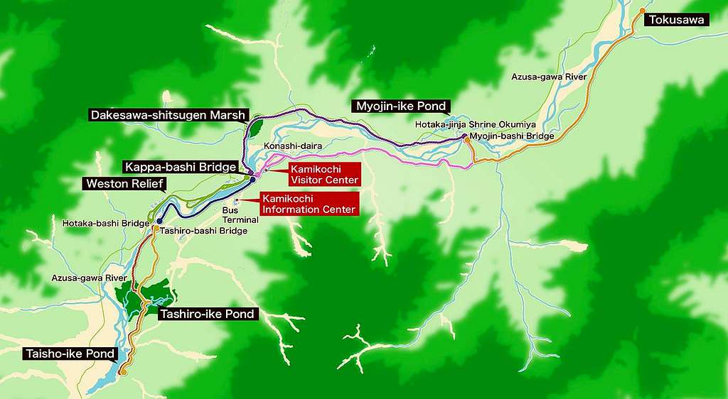
Kamikochi Trail Overview Map
Route Map
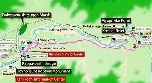
Kappa Bashi - Myojin Trail (East-shore) MAP
Route description
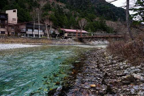 | The route starts at the Kappa Bashi bridge, which is a 5 minute walk from the Bus station. Leave the bridge on the east side of the Azusa river. |
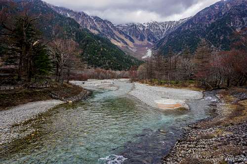
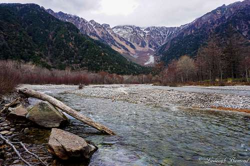 | The view towards Hotaka - Dake as seen from near the Kappa Bashi Bridge. The trail starts on the east side of the river, which is on the right side on this photo. |
 | The trail starts by passing some marshes and enters the forest directly after the Kappa Bashi bridge. |
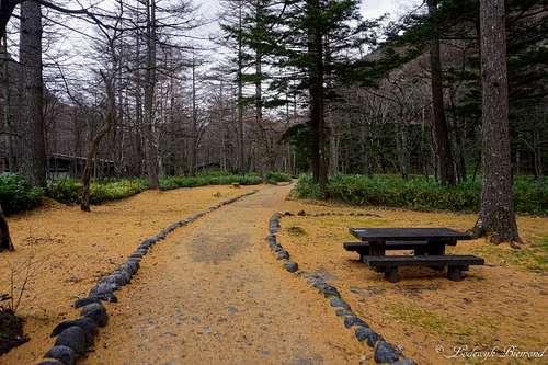 | On the trail: The trail is relatively flat and is easy to recognize. The gradation is T1. The first part goes through the forest. |
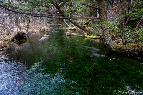
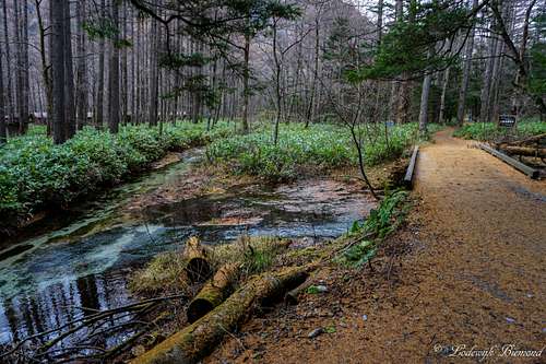 | The trail passes many small marshes and streams and keeps going through the forest on the eastern shore of the Azusa river. |
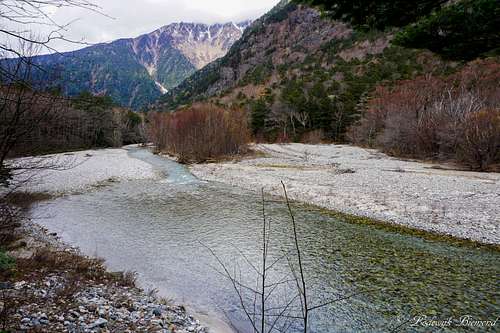 | Eventually the trail comes closer to the Azusa river and offers nice views of the river and surrounding mountains. |
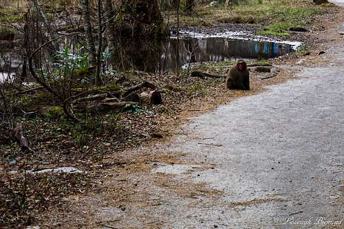 | This is shortly before Myojin. A Macaque monkey is checking us out from the trail. You can spot these monkeys occasionally. |
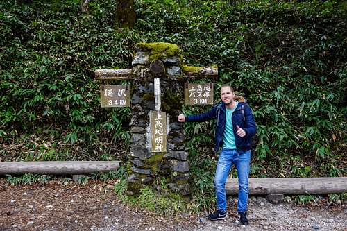 | Eventually you will reach this road sign. Take a left towards the Myojin bridge. |
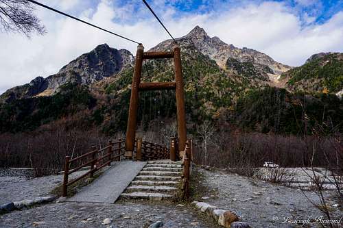 | The Myojin Moshi bridge is the end of this route. From here it is possible to take the route along the westerns shore of Azusa back to Kappa Bashi. Another option to go further into Kamikochi and take the trail to Tokasuwa. |
Essential Gear
Hotaka Dake (3190m) and Azusa river
Weather & Climate

Kamikochi Climate Map