-
 1413 Hits
-
 75.81% Score
-
 6 Votes
|
|
Route |
|---|---|
|
|
Hiking, Scrambling |
|
|
Summer, Fall |
|
|
A long day |
|
|
parts grade I+ |
|
|
I |
|
|
Overview
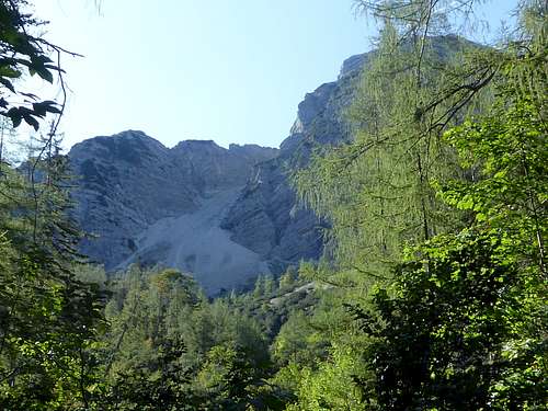
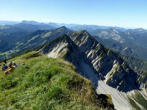
Sonntagshorn, the highest peak of the whole Chiemgau Alps, has two different faces. Whereas the southern side is gentle, sunny, easy going hiking, the north side of Sonntagshorn is a wild, rugged and rocky landscape. Carved in the north face of Sonntagshorn are three valleys, the south – north orientated Kraxenbachtäler.
They are called Vorderes Kraxenbachtal, Mittleres Kraxenbachtal and Hinteres Kraxenbachtal. All three meet near Schwarzachenalm and lead into Schwarzachen valley and Laubau, the northern trailhead for Sonntagshorn.
There are two routes, one up Mittleres Kraxenbachtal and the other up Hinteres Kraxenbachtal. Both routes include some rock scrambling up to UIAA grade I+/maybe II, the route up Mittleres Kraxenbachtal being the more difficult route. Both routes can be combined and are a very satisfying traverse of Sonntagshorn.
Kraxenbach valleys are my preferred routes for summiting Sonntagshorn. I recommend Mittleres Kraxenbachtal for the ascent and Hinteres Kraxenbachtal for the descent. As the north routes are rather long and include some rock scrambling you will not meet many co-hikers.
Getting There
Trailhead for the north routes is Laubau hiker parking area.
You reach Laubau by car:
From Munich or Salzburg leave the highway A 8 at exit “Traunstein / Siegsdorf”. Go on road number B306 in direction of Inzell. At the first rotary go on road number ST2098 to Ruhpolding. Turn right on road number B305 after Ruhpolding and proceed to Labau; the parking area is at the end of the village to the left.
Public transportation:
The next railway station is at Ruhpolding. Bus number 9506 goes to the busstop Laubau / Holzknechtmuseum right in front of the trailhead.
Route Description
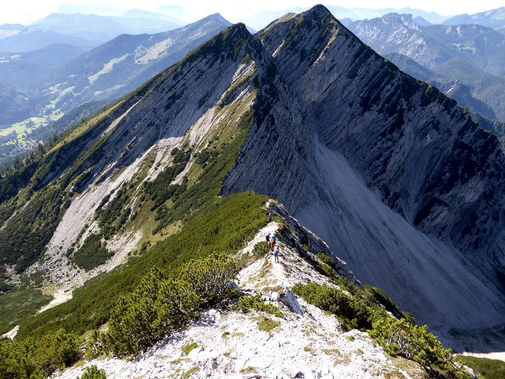
Sonntagshorn Routes Overview
From the Laubau parking area follow the forest road to a road junction, go left, cross the Schwarzachen and follow the forest road to Schwarzachen Alm.
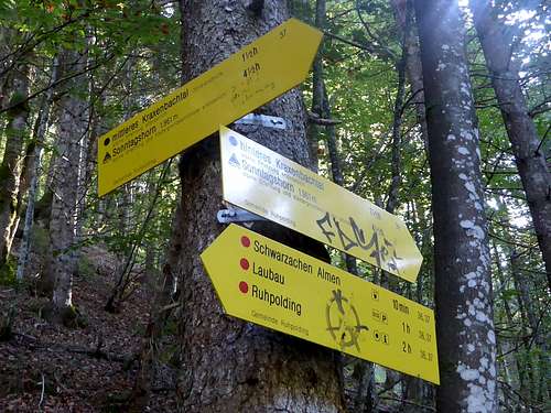
Turn right and enter Kraxenbach valley system on a narrow trail. This valley system has three main valleys: Vorderes Kraxenbachtal, Mittleres Kraxenbachtal and Hinteres Kraxenbachtal. Pass by Vorderes Kraxenbachtal. You then reach a trail junction with signposts to Mittleres Kraxenbachtal and Hinteres Kraxenbachtal.
Mittleres Kraxenbachtal route:
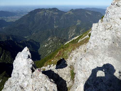
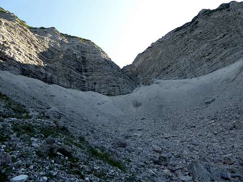
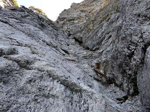
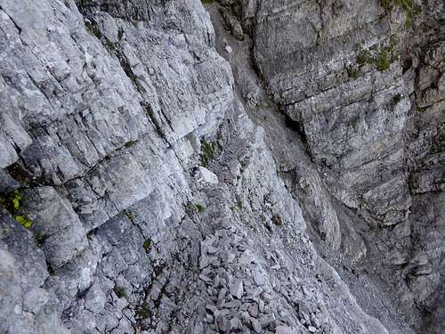
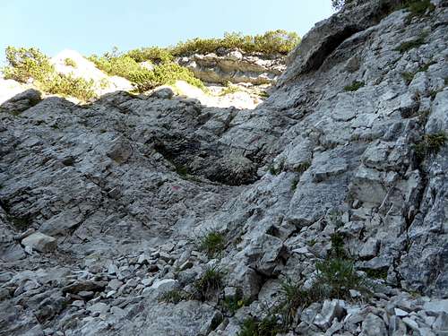
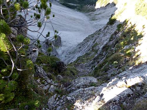
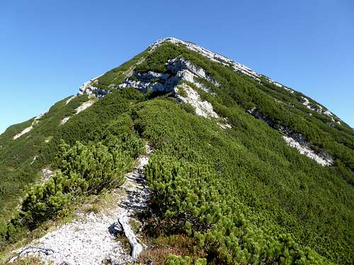
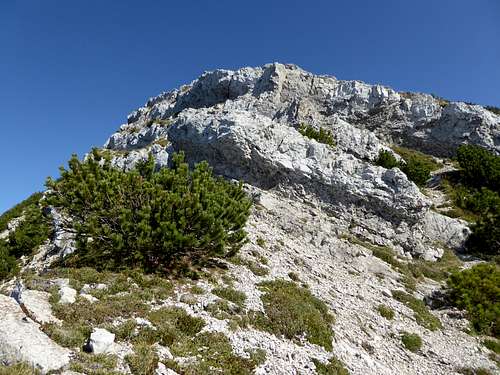
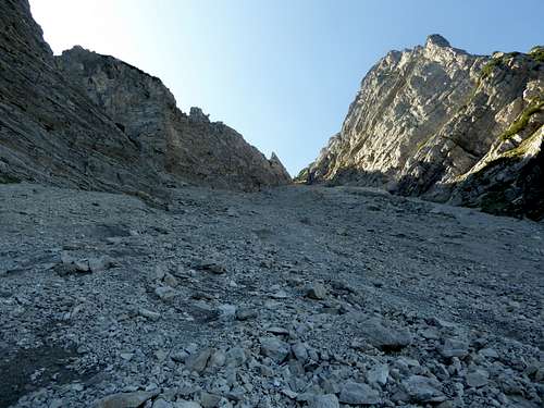
Turn right, cross Kraxenbach and ascend steeply the Mittlere Kraxenbachtal on a narrow trail through dense woods. Above the timber line you reach a scree field, called “Großer Sand”. Ascend the scree on a good track on its east side until you reach a chute. Ascend the scree filled chute (some slings at rocky steps) to a small ledge, leave the chute there and follow the ledge to some rocks. Scramble up the rocks, first straight on then more to your right (grade I+) until you reach the col between Sonntagshorn and Reifelberge. Turn left there and follow the Sonntagshorn west ridge until you arrive at the south route trail some meters below the summit. The west ridge requires some grade I – II moves. Very entertaining route.
If you descend on that route: Leave the south route trail where it turns left for the first time and leaves the west ridge. There are some rocks to your right and a small red dot. Climb down the rocks in northern direction where this dot is; you will reach the west ridge trail at the bottom of these rocks.
Hinteres Kraxenbachtal route:
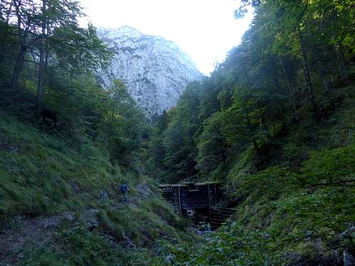
Go straight on at the above mentioned trail junction. The trail soon gets steep and climbs up Hinteres Kraxenbachtal. You pass by Kraxenbachklause, an old wooden dam where water was dammed for log transportation down the valley in the 19th century.
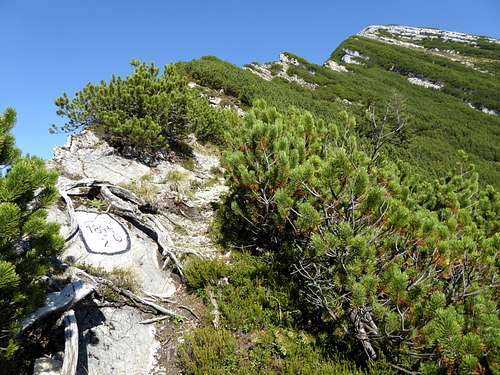
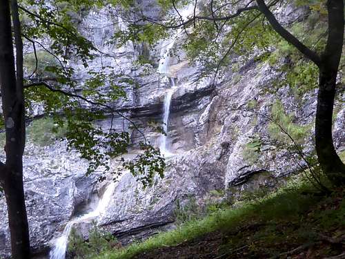
The trail crosses Kraxenbach creek, goes steep up to some beautiful waterfalls and zigzags up to a hunters cabin, crossing the creek some more times. At the hunters cabin the scenery opens up and you arrive the timber line and the dwarf pine zone. The trail zigzags up a steep scree field to a chute which ends at the col between Sonntagshorn and Aibleck. The secondary summits of Aibleck and/or Hochgern are not far away from that col (Aibleck 45 minutes to and fro, Hochgern 15 minutes).
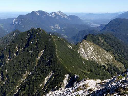
Turn right and follow the trail up the east ridge of Sonntagshorn to the summit. Some easy rock scramble required.
Essential Gear
The Kraxenbach valley routes are only summer and autumn outings. You need hiking gear and, maybe, for the climbing parts of Mittleres Kraxenbachtal a helmet due to loose rocks.
You need to master short climbs with grade I and II moves on the Mittlere Kraxenbachtal route. Hintere Kraxenbactal route is only easy rock scrambling near the summit on the east ridge of Sonntagshorn.
