-
 3871 Hits
-
 75.81% Score
-
 6 Votes
|
|
Mountain/Rock |
|---|---|
|
|
Hiking, Scrambling, Skiing |
|
|
Spring, Summer, Fall, Winter |
|
|
6434 ft / 1961 m |
|
|
Overview
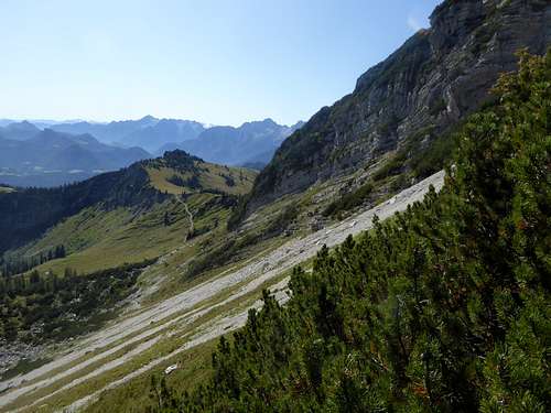
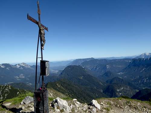
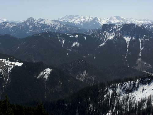
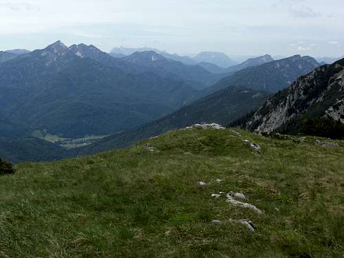
Sonntagshorn is the highest peak of Chiemgauer Alpen area. As the whole area consist of mountains with low to moderate heights, Sonntagshorn does not even reach 2000 m. Nevertheless the northern aspect of Sonntagshorn is a rather wild and rugged one and the altitude difference from valley to top is nearly 1300 m.
Sonntagshorn is the culmination point of an east – west running ridge between Unken and the Saalach valley to the south and the Schwarzachen valley to the north.
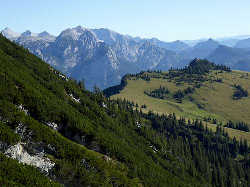
The nearly equally high Reifelberg, Vorderlahnerkopf and Hirscheck are standing to the west, the secondary summits of Aibleck and Hochgern are located to the east of that ridge. A sidekick on the south ridge of Sonntagshorn is Peitingköpfl, a nice meadow summit above the village of Unken.
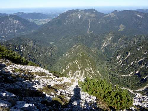
The Sonntagshorn main ridge markes the border between Germany and Austria, too, The gentle south side of the mountain belongs to Austria, this side hosts the two south routes which are frequented, not to say crowded, on sunny days. The northern German side, however, is a wild landscape with the three, south – north orientated Kraxenbachtäler (valleys). Kraxenbach valleys are my preferred route for summiting Sonntagshorn. As the north route is rather long and includes some rock scrambling you will not meet many co-hikers.
Getting There
Trailheads for Sonntagshorn are:
- Laubau hikers parking area near Ruhpolding to the north
- Unken to the south
- Heutal to the south
You reach Laubau by car:
From Munich or Salzburg leave the highway A 8 at exit “Traunstein / Siegsdorf”. Go on road number B306 in direction of Inzell. At the first rotary go on road number ST2098 to Ruhpolding. Turn right on road number B305 after Ruhpolding and proceed to Labau; the parking area is at the end of the village to the left.
Public transportation:
The next railway station is at Ruhpolding. Bus number 9506 goes to the busstop Laubau / Holzknechtmuseum right in front of the trailhead.
You reach Unken and Heutal by car:
- On road number B305 and B21 from the direction of Bad Reichenhall or Salzburg
- On road number 178 from Sankt Johann in Tirol or road number 311 and 178 from Saalfelden.
For Unken trailhead leave road number 178 at Unken and park your car somewhere in the village. The trailhead is at Niederland street.
For Heutal trailhead go on road number L251 at Unken, follow the signs for Gföll and Heutal. Before entering Heutal village turn right on a road which leads shortly to Sonntagshorn parking area.
Public transportation:
The nearest railroad station is Saalfelden. Bus number 260 goes to Unken village.
Routes Overview
Sonntagshorn Routes Overview
North Route:
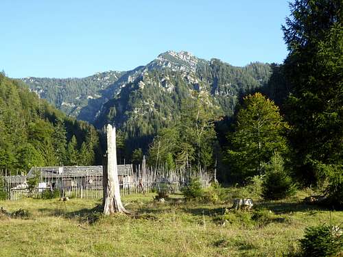
The north route uses the Schwarzachen valley up to Schwarzachen Alm and enters the Kraxenbach valley system.
There are two routes to the summit which can be combined to a nice traverse:
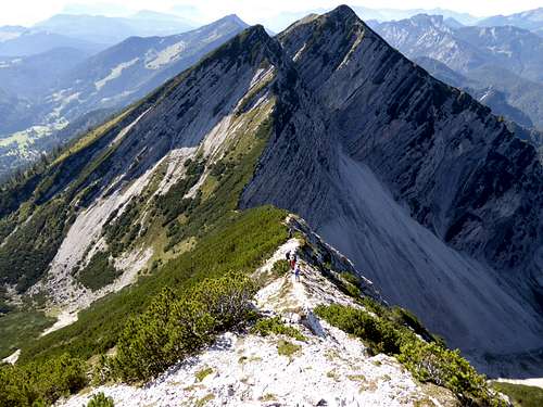
- Mittleres Kraxenbachtal to Großer Sand, then a nice climb up to the west ridge and via this ridge to the summit.
- Hinteres Kraxenbachtal to the east ridge of Sonntagshorn and up this ridge to the summit.
South route from Heutal:
Follow the road into Lahnersbach valley and ascend on a trail to Trostberger Hütte. Follow the forest road up through the Alm hut village and go straight on on a trail where the road bends to the right. Climb Perchthöhe, the col between Peitingköpfl and Sonntagshorn on that trail. Turn left and zigzag up the south slopes to the uppermost west ridge of Sonntagshorn. Turn right and climb the summit.
The Heutal route is the ski route, too.
South Route from Unken:
From the parking area at Unkener Landstraße follow a trail up to Peitingköpfl. The trail crosses a forest road several times. Descend shortly to Perchthöhe and ascend first the south slopes and then the uppermost west ridge to the summit.
A long route goes up from Unken / Melleck or from Weißbach to the ruined Unzentaler Alm and to Aibleck, From there you can summit Sonntagshorn via its east ridge. Long an unusual ascent.
Red Tape & Accommodation
The whole German part of Sonntagshorn is a Nature Protection Area. There is no entrance fee but several restrictions like:
- no camping
- no litter
- no open fires
- do not leave the trails
Accommodation of all kind can be found at:
The parking area of Laubau allows overnight stay of motorhomes and caravans.
Mountain Huts:
Trostberger Hütte, unguarded alpine cub hut
Gear & Mountain Condition
You can summit Sonntagshorn the whole year.
The north route is only possible in summer through autumn until the first snow falls. The route requires rock scramble and short climbs up to grade II.
The south routes are easy hikes in late spring through autumn. The ski tour route from Heutal is an easy one for beginners.
In summer you need hiking gear and good shoes.
In winter you need full avalanche gear. Check the Bavarian avalanche bulletin or the Salzburg avalanche bulletin.
Weather at Unken / Austria, south of Sonntagshorn
Maps
Alpenvereinskarte scale 1 : 25000
number BY19, Chiemgauer Alpen Ost, Sonntagshorn
edition 2014, with trails and ski routes, UTM grid


