


-
 3155 Hits
-
 80.49% Score
-
 12 Votes
|
|
Area/Range |
|---|---|
|
|
45.81520°N / 7.19744°E |
|
|
Hiking |
|
|
Spring, Summer, Fall, Winter |
|
|
9754 ft / 2973 m |
|
|
Note
La montagna chiama i suoi figli, ed essi rispondono fedelmente al suo appello… Osvaldo Cardellina, Diario alpinistico, 1964-65 Page texts: @ OsvaldoCardellina "Osva", passed away on May 2, 2022. Page owners: Christian Cardellina e Osvaldo Cardellina. Any updates from September 12, 2022: Antonio Giani, page administrator, friend and climbing companion. Testi della pagina: @ OsvaldoCardellina "Osva", scomparso il 2 maggio 2022. Proprietari pagina: Christian Cardellina e Osvaldo Cardellina. Eventuali aggiornamenti dal 12 settembre 2022: Antonio Giani, amministratore della pagina, amico e compagno di salite. |
Overview
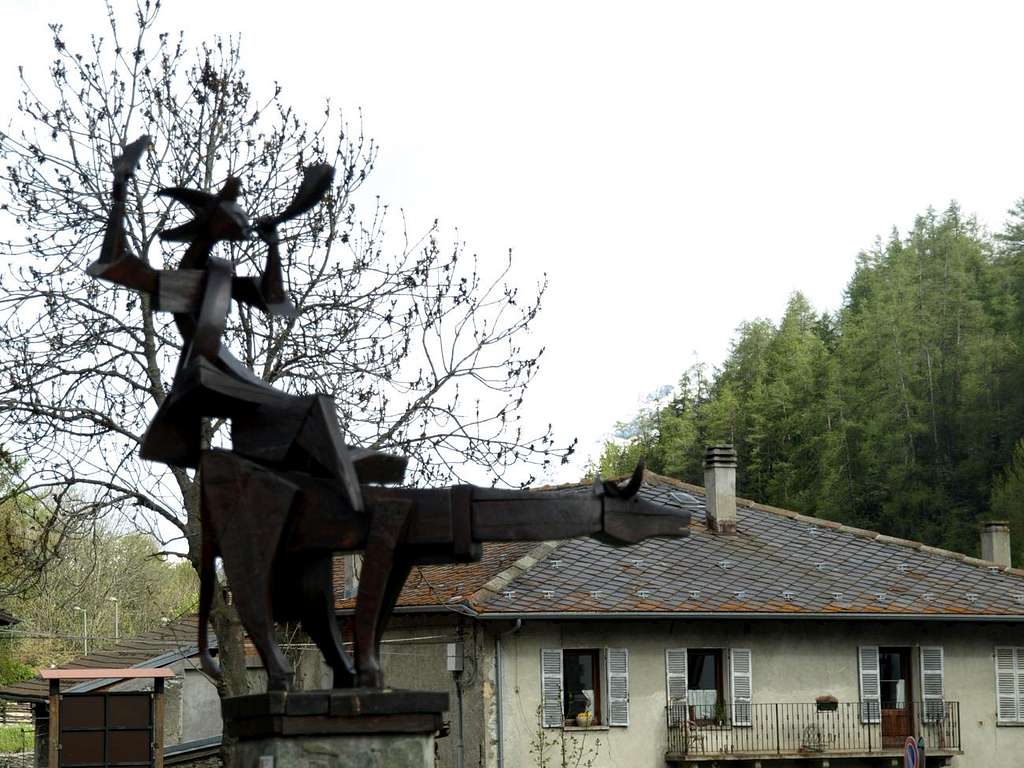
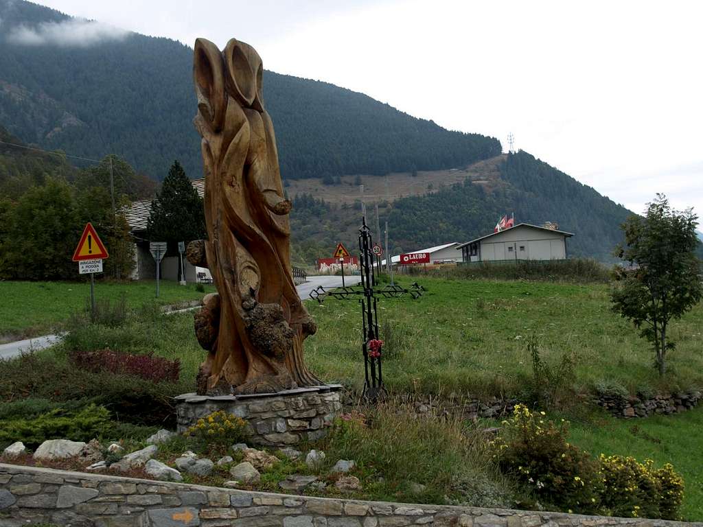
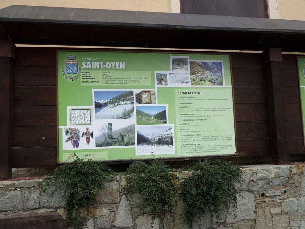
First part Gran San Bernardo, shaped as basin looming over Gignod, Etroubles, St. Oyen Commons, before St. Rhémy-en-Bosses. It extends first to the North and then North-northwest for 34 km. from the City of Aosta (583m) to the Great St. Bernard Lake (2.449m), now completely in Switzerland. But the "real" Valley begins just before the Municipality of Saint Rhémy-en-Bosses (1.619m; at Km. 23, after the unification of the two Communes), while at the bottom we have the stretch with Shared Basin By, the Valpelline and the subsequent diversion to the Ollomont Valley, the latter like a bridge between the other two. At Km. 18.2 the SS.27, after the Municipality of St.-Oyen (1.373m), leaving to the West entrance to the Motorway of the Gran San Bernardo and the surroundings of the former Common of Bosses at the entrance of with the same name Comba, preceded by the Southern "Combe de Flassin", that reaches the Flassin (2.605m), Finestra (2.729m) and Ars or Arsy (2.543m), at the borders with the Vallons of Vertosan (above Vens Village and St. Nicolas Commune), Verrogne (towards Vetan Basin) and Arsy (over Etroubles Common).
 |
 |
From Saint Rhémy-en-Bosses Valley completes its sinuous form topographically returning permanently to the North until you reach the Great Saint Bernard Pass with its ancient Hospice (2.469m), at the border with Switzerland. Accordingly a valley, just after St. Oyen, doubles with two important ramifications:
a) - the first to the North towards the "Grand" and the second
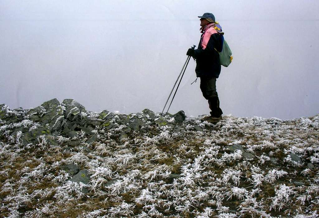
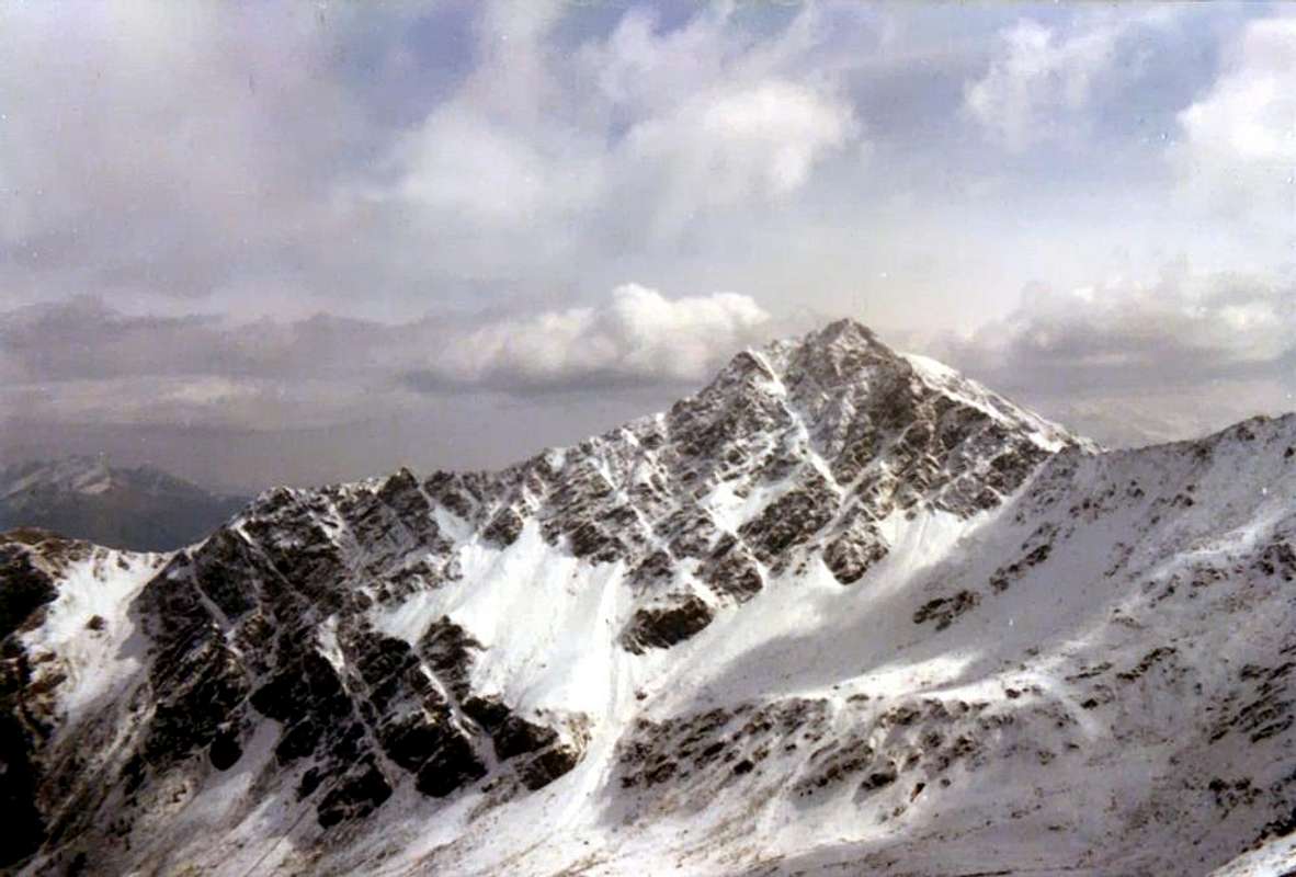
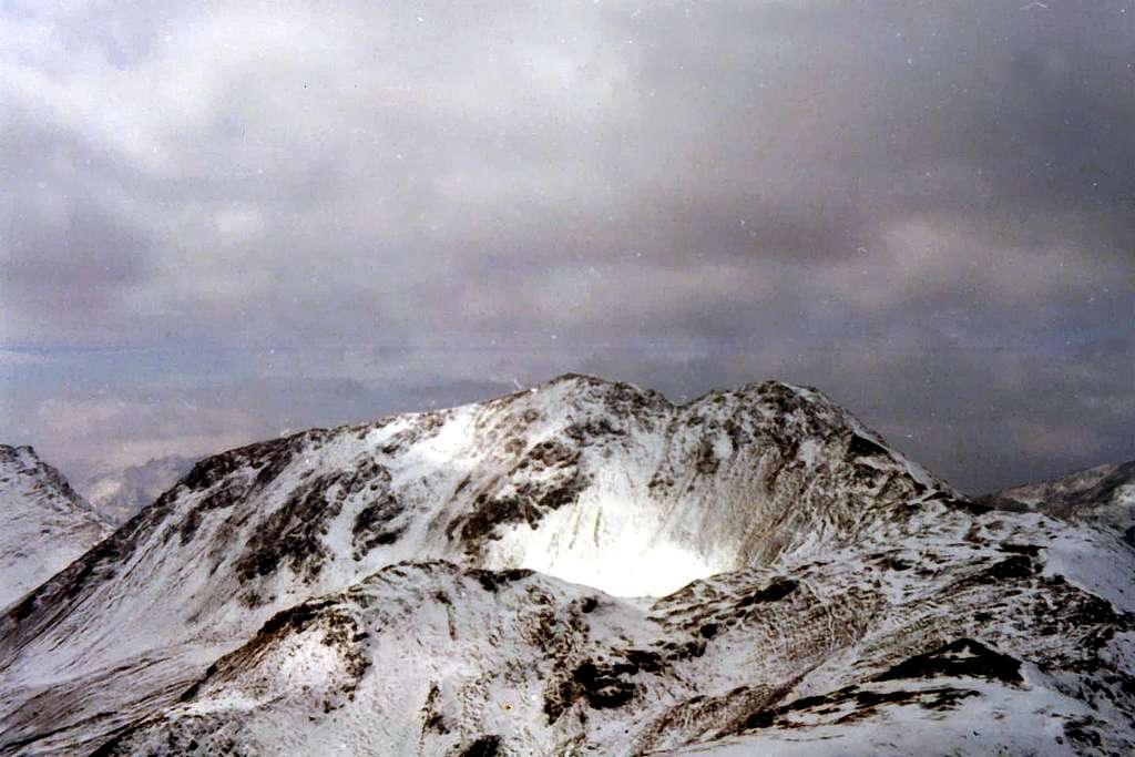
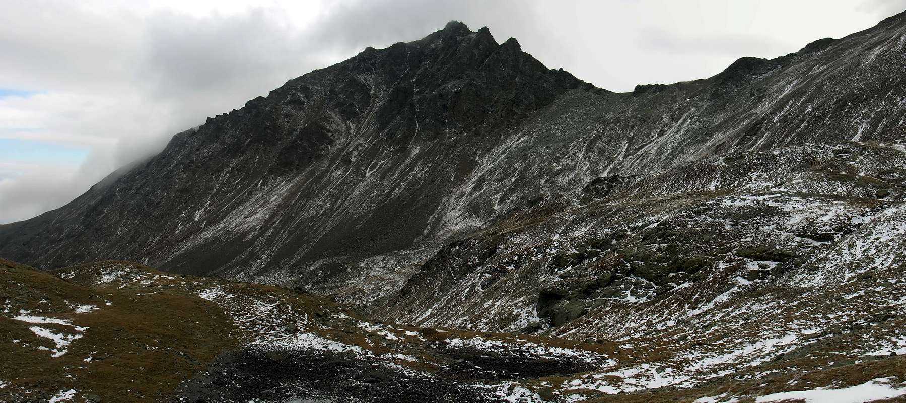
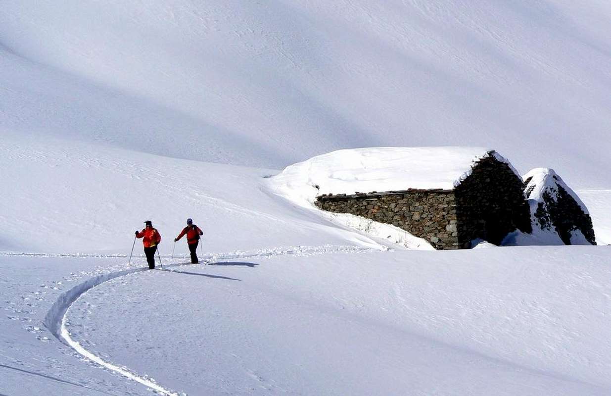
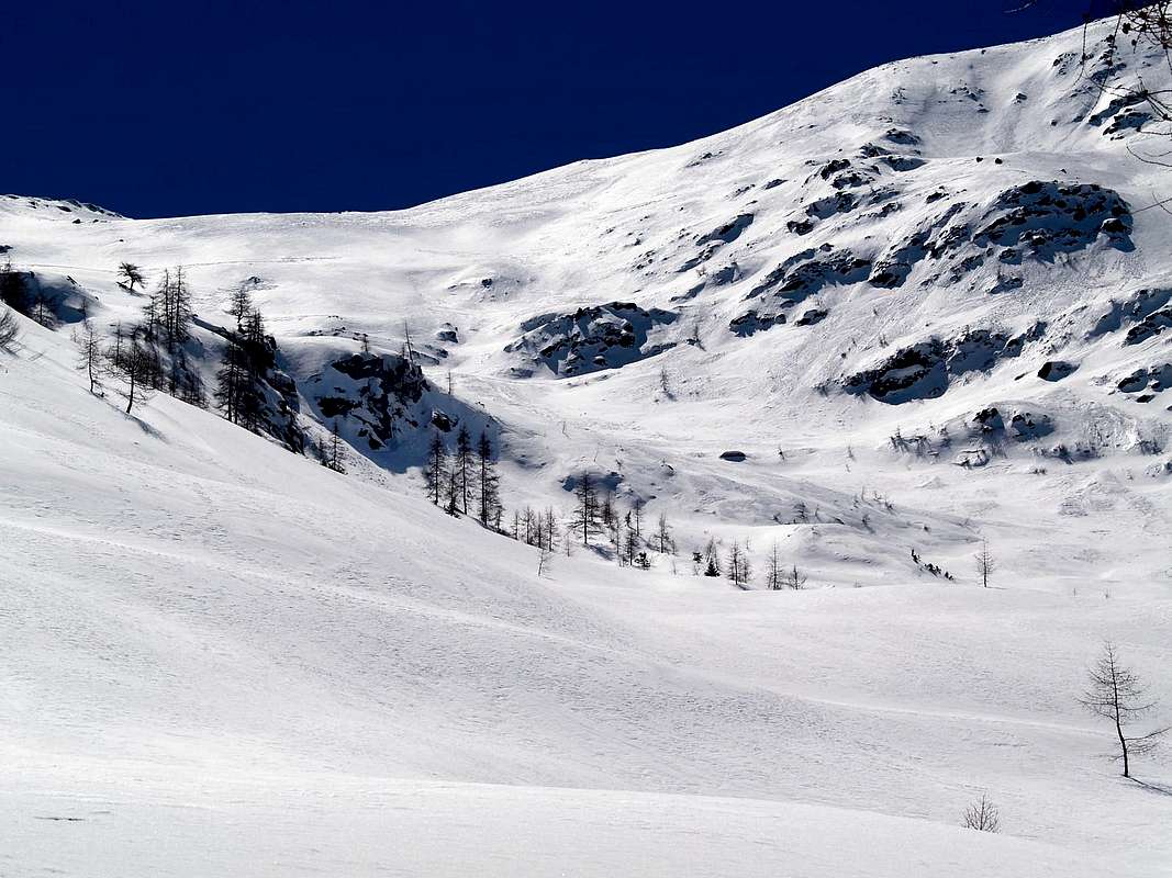
b) - to the Southwest towards the Hills Tardiva (2.400m), Arsy od Ars (2.543m), Unnamed or of Fallère (2.674m), Finestra (2.793m), Vertosan Northwest (2.689m), Flassin (2.605m), Citrin (2.484m), Serena (2.546m), Malatrà (2.928m), Bellecombe (3.000m), Saulié or "des Ceingles" (2.816m) and finally to close the circle of St. Rhémy (2.560m), where the Valley of the Great St. Bernard extends from West to East between the Aiguille de Leisasses and the Testa di Barasson on the border with Switzerland. As we see a whole series of passes that lead respectively to the East with the Vallons Buthier and Arsy, in the South to those of Clusella, Verrogne-Vetan, Vertosan and Planavalle, to the West towards the Italian Val Ferret, in the North towards the Comba Thoula and in Northwest directly at the Gran San Bernardo. Among them that of Flassin, also known as Combe de Flassin, is the third starting from the East by connecting the lower middle valley of the Great St. Bernard Pass with Vetan Basin and the adjacent Vertosan Valley above the three Municipalities of Avise, Saint Nicolas and Saint Pierre, now belonging to the Central Valley of main Dora Baltea. It has a ring of mountains not very high mountains and neither famous, but unusual for their age, surround this fairly long valley that draws its origins by Saint-Oyen or, more precisely, amongst the Pastures Montagna di Flassin Inferiore (Lower) and Superiore (Upper) or Tsa. In foreground it stretches in a semicircle starting from Gran Testa (Great Head; 2.457m) just above the Commons of Etroubles and St. Oyen the dividing ridge to the Southwest with the Vallon of Arsy reaching Mount Fallère (3.061m) forming Costa Labiez, Col d'Ars, Forestry Bivouac, Western "Spallone" (Great Shoulder; 2.973m). From this stems the terminal head of the valley that goes on in a semi-circular way towards Northwest achieving progressively Col Finestra (2.973m), Mont Vertosan and Hill (2.822m, 2.689m), Col Flassin and Mont Flassin (2.605m, 2.772m). From this it forms the Western watershed that forming Testa Cordella (2.663m), the unnamed Quota 2.509 meters and finally the Tête de Bois de Quart (2.248m) ends above the Hamlet of Saint Leonard (1.519m) between the Municipalities of St. Oyen and Bosses. Then a valley overlooking a common (Saint Oyen), but which can also be accessed from the other two (Etroubles and Bosses) through paths or roadways encircling it at its base easing somewhat the links between the three localities. Apparently so a valley locked in a dead end, but that really is open to all directions even though his lateral sides of the the watersheds are not easily passable, as formed by quite high cliffs with march rocks alternating with a canyons and gullies certainly not inviting. On the sides we are in fact only two steps with the trail n° 7D to the Valley of Arsy via the Col d'Ars in the East and the n° 7/7A on the opposite side towards the Citrin. For these reasons, as a more valley suitable for the Hiking, especially in the areas South and West, than to the Mountaineering, while regarding the Ski-Mountaineering is the most frequented in the middle parts than in those high, since exposed to the danger of snowslides and avalanches (see Col d'Ars, where not many years ago it has been a deadly disaster). Therefore, even in paths with Snowshoes, it is to recommend great caution ...
 |
 |
L'"Ouverture" al Gran San Bernardo appare qual gran vallata a forma d'espanso bacino sopra Gignod, Etroubles, St. Oyen, precedenti St. Rhémy-en-Bosses, S'estende dapprima verso Nord e poi Nord-nordovest per 34 Km. dalla Città di Aosta (583 m) fino al Lago del Gran San Bernardo (2.449 m), ormai completamente in territorio svizzero. Ma la "vera" valle inizia appena prima del Comune di Saint Rhémy-en-Bosses (1.619 m; al Km. 23, dopo l'unificazione dei due Comuni), mentre nella parte inferiore abbiamo il tratto in Comune con la Conca di By, la Valpelline e la successiva deviazione verso la Valle di Ollomont, quest'ultima a guisa di trait d'union tra le altre due. Al Km. 18,2 la Strada Statale n° 27, dopo il Comune di St.-Oyen (1.373 m), lascia verso Ovest l'ingresso per il Traforo con Autostrada del Gran San Bernardo, nonché le frazioni dell'ex Comune di Bosses all'ingresso dell'omonima Comba che, preceduta dalla Meridionale "Combe de Flassin", raggiungente i Colli di Flassin (2.605 m), Finestra (2.729 m) e di Ars od Arsy (2.543 m), ai confini con i Valloni di Vertosan (sopra il Villaggio di Vens ed il Comune di St. Nicolas), Verrogne (verso la Comba di Vetan) ed Arsy (sopra ad Etroubles). Da Saint Rhémy-en-Bosses la valle completa la sua forma topograficamente sinuosa ritornando definitivamente verso Settentrione fino a raggiungere il Colle del Gran San Bernardo con il suo Ospizio (2.469m), al confine con la Svizzera. Quindi una valle che, subito dopo St. Oyen, si sdoppia con due importanti ramificazioni:
a) - la prima a Settentrione verso il "Grande"
b) - la seconda a Sudovest verso i Colli di Tardiva (2.400 m), Arsy od Ars (2.543 m), Innominato o del Fallère (2.674m), Finestra (2.793 m), Vertosan Nordovest (2.689 m), Flassin (2.605 m), Citrin (2.484 m), Serena (2.546 m), Malatrà (2.928 m), Bellecombe (3.000 m), Saulié o des "Ceingles" (2.816 m) ed infine a chiusura del cerchio di St. Rhémy (2.560 m), dove la Valle del Gran San Bernardo si espande da Ovest ad Est tra l'Aiguille de Leisasses e la Testa di Barasson sul confine con la Svizzera. Come vedesi tutta una serie di valichi che rispettivamente conducono ad Oriente con i Valloni di Buthier, Arsy, a Meridione verso quelli di Clusella, Verrogne-Vetan, Vertosan, Planavalle, ad Occidente verso la Val Ferret Italiana, a Settentrione verso la Comba Thoula ed a Nordovest direttamente verso il Gran San Bernardo.
Tra questi quello di Flassin, conosciuto in loco anche come Combe de Flassin, costituisce il terzo partendo da Oriente mettendo in comunicazione la valle medio-bassa del Gran San Bernardo con il Bacino di Vetan nonché l'attiguo Vallone di Vertosan al di sopra dei Comuni d'Avise, St. Nicolas e St. Pierre, appartenenti alla Valle Centrale della Dora. Possiede una cerchia di montagne non molto alte e neppur famose, ma singolari per la loro vetustà, che circondano questo abbastanza lungo vallone traente l'origini da Saint-Oyen o, più precisamente, tra gli Alpeggi della Montagna di Flassin Inferiore e Superiore o Tsa. Di fronte stagliansi a semicerchio partendo dalla Gran Testa (2.457 m) subito sopra i Comuni di Etroubles e st. Oyen la cresta divisoria verso Sudovest con il Vallone di Arsy che raggiunge il Mont Fallère (3.061 m) formando Costa Labiez e Col d'Ars, Bivacco della Forestale e Spallone Ovest (2.973 m). Da questo ultimo trae origine la testata del vallone che prosegue in modo semicircolare verso Nordovest raggiungendo progressivamente Col Finestra (2.973 m), Mont Vertosan e Colle (2.822 m, 2.689 m), Col Flassin e Mont Flassin (2.605 m, 2.772 m). Da questo s'origina lo spartiacque Occidentale che, formando Testa Cordella (2.663 m), l'innominata Quota 2.509 metri ed infine la Tête de Bois de Quart (2.248 m) si conclude al di sopra della Frazione di Saint Leonard (1.519 m) tra le Municipalità di St. Oyen e Bosses. Quindi un vallone che domina un comune (Saint Oyen), ma al quale si può accedere anche dagli altri due (Etroubles e Bosses) tramite sentieri o strade poderali che lo cingono alla sua base facilitando alquanto i collegamenti tra le tre località. Apparentemente quindi un vallone chiuso in un vicolo cieco, ma che in realtà é aperto verso tutte le direzioni anche se i suoi spartiacque laterali non sono facilmente percorribili, poiché formati da abbastanza alte pareti di roccia marcia alternate a canaloni non certamente invitanti. Sui lati infatti troviamo due unici passaggi con il sentiero n° 7D verso il Vallone di Arsy tramite il Col d'Ars ad Oriente e quello n° 7/7A sul versante verso il Citrin. Per questi motivi risulta come un vallone più idoneo all'Escursionismo, soprattutto nei settori Meridionale ed Occidentale, che non all'Alpinismo, mentre per quanto concerne lo Sci-Alpinismo è più frequentato nelle parti mediane che non in quelle alte, poiché esposte a pericolo di slavine e valanghe (vedi il Col d'Ars, dove non molti anni orsono s'é verificata una disgrazia mortale). Quindi, anche nei percorsi con Racchette, é da raccomandar massima prudenza ...
 |
Getting There
BY CAR:
- From TORINO, MILANO, etc: Motorway A5. Exit at IVREA or Quincinetto (PIEDMONT) From IVREA Town:
- a) - before in West to Pont St. Martin, St. Vincent Aosta;
- b) - after Northwest to Gignod, Etroubles and Saint-Oyen Commons. From Courmayeur Resort:
- a) - before in East to Morgex, St. Pierre, Aosta;
- b) - after Northwest to Gignod, Etroubles and Saint-Oyen Municipalities. From Saint-Oyen Common towards Combe de Flassin up to the Flassin, Finestra and Ars or Arsy Hills From Saint-Oyen (1.377m), with dirt road in South towards Lower Montagna Flassin (1.700m); continue Southt-southwest to Upper Montagna Flassin (2.256m) at the end of Flassin Comba. From this with paths towards Flassin Pass (2.605m) by Southern Slope or to Finestra Pass (2.729m) by South-southeast Slope. Also in East to Col d'Arsy (2.543m).
- From FRANCE: through the Mont Blanc Tunnel to Entrèves-crossroads to Vény/Ferret Valleys - Mountain Guides of Courmayeur - La Saxe Rock Gym - Courmayeur. By Little Saint Bernard Pass, closed since November until half May to La Thuile Valley - Pré Saint Didier - Courmayeur. It is not necessary to take Motorway A5: you can drive on SS.26, in the direction of AOSTA - IVREA - TURIN.
BY PLANE:
- Aeroporto "Corrado Gex" Saint Christophe (Aosta).
 |
 |
 |
Approach & Routes
2) - St. Oyen towards Fenêtre Pass (2.729m) between West Shoulder Mont Vertosan (2.822m): by St.-Oyen always through the dirt road concomitant with trail n° 7 towards Tsa de Flassin. From this point in South with moraines below Fenêtre Pass, through North Slope with progressively more steep groundstones and blocks in terminal part until the pass (F+; 2h'45/3h'00). Is possible to continue West-southwest on watershed through the easy East-northeast Crest to Mont Vertosan (F; 0h'20/0h'30).
![]()
4) - From Saint-Oyen towards Flassin Hill (2.605m) in Southwest of Combe de Flassin: from Saint-Oyen towards the Combe de Flassin and above, to the East, the Flassin Torrent until Tsa de Flassin and overhanging Flassin Hill (2.605m), through path n° 7 and small traces amongst debris on North-northeast Slope (F; 2h'00/2h'30).

6) - Variant always Camping to the above Tête Bois de Quart (2.248m): by St.-Oyen, neighbor Flassin Camping at the beginning of Flassin Vallon, towards Lower Flassin to Tsa de Flassin Alpages, with dirt road in Flassin Comba (Basin); from this to Tête Bois de Quart, nearby Forest Rangers Bivouac (2.248m; private), through easy diagonal path n° 7 on South-southeast Slope (E/F; 1h'20/1h'40). Otherwise directly from the junction 1.971 meters near Flassin Torrent with path n° 7 A (E/F; 1h'00/1h'15).
Mountain Condition
- Meteo: you can find all the needed informations at the official site of the Valle d'Aosta Region:
Valle d'Aosta Meteo
Books and Maps
- "Guida delle Alpi Occidentali" di Giovanni Bobba e Luigi Vaccarone C.A.I. Sezione di Torino Volume II° (parte II) 25-05-1896.
- "Guida dei Monti d'Italia-Alpi Pennine" (Vol. I°) di Gino Buscaini-Club Alpino Italiano/Turing Club Italiano, Luglio 1971.
 |
 |
- Kompass "Monte Bianco Valle d'Aosta Sentieri e Rifugi" Carta turistica 1:50.000.
- Ediz. Bottega D'Arte Alpina Coumayeur "Carta Turistica della Valle d'Aosta" di Alessio Nebbia 1:100.000.
- I.G.M. Istituto Geografico Militare 1:25.000.
Others important informations
- REGIONE AUTONOMA VALLE D'AOSTA the official site.
- FONDAZIONE MONTAGNA SICURA Villa Cameron, località Villard de la Palud n° 1 Courmayeur (AO) Tel: 39 0165 897602 - Fax: 39 0165 897647.
- A.I.NE.VA. (Associazione Interregionale Neve e Valanghe).
Useful numbers
- Protezione Civile Valdostana località Aeroporto n° 7/A Saint Christophe (Ao) Tel. 0165-238222.
- Bollettino Meteo (weather info) Tel. 0165-44113.
- Unità Operativa di Soccorso Sanitario Tel. 118.