-
 1260 Hits
-
 77.48% Score
-
 8 Votes
|
|
Mountain/Rock |
|---|---|
|
|
Hiking, Skiing |
|
|
Spring, Summer, Fall, Winter |
|
|
7274 ft / 2217 m |
|
|
Overview
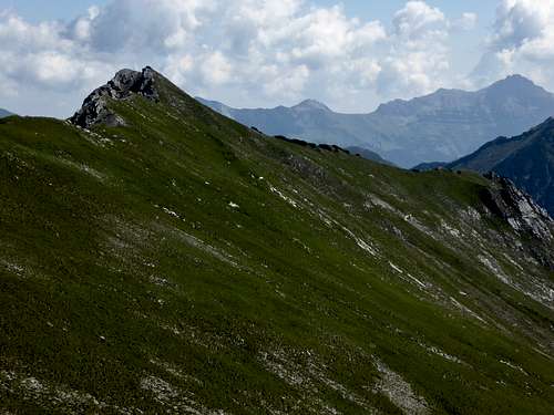
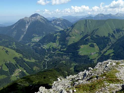
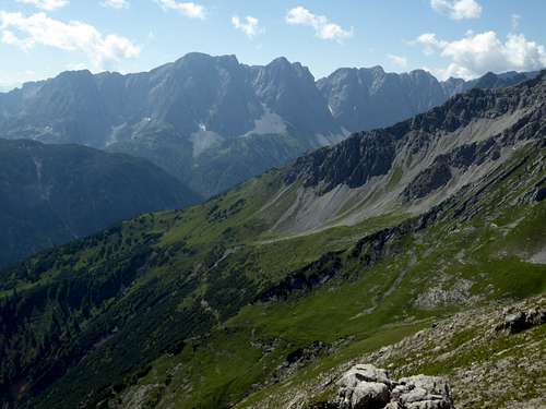
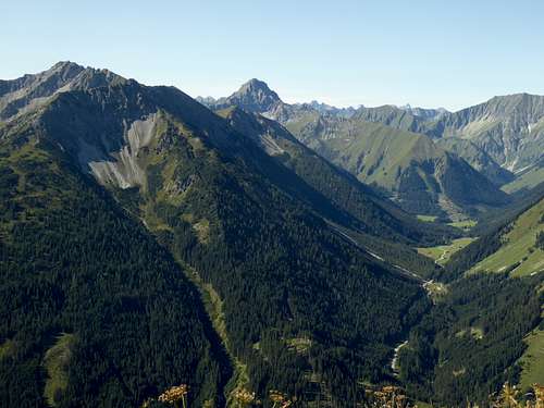
The Rudiger subgroup of eastern Lechtaler Alpen is a south – north running ridge, linked to the east-west orientated huge Heiterwand ridge to the south and dropping down Rotlech valley over about 1000 meters at its northern end. The northernmost summit of this small subgroup is called Schlierewand.
Bordered by Rotlech valley and Kelmen – Namlos valley to the east, north and west, Schlierewand is the neighbouring summit of Sandegg, the next summit of Rudiger subgroup to the south.
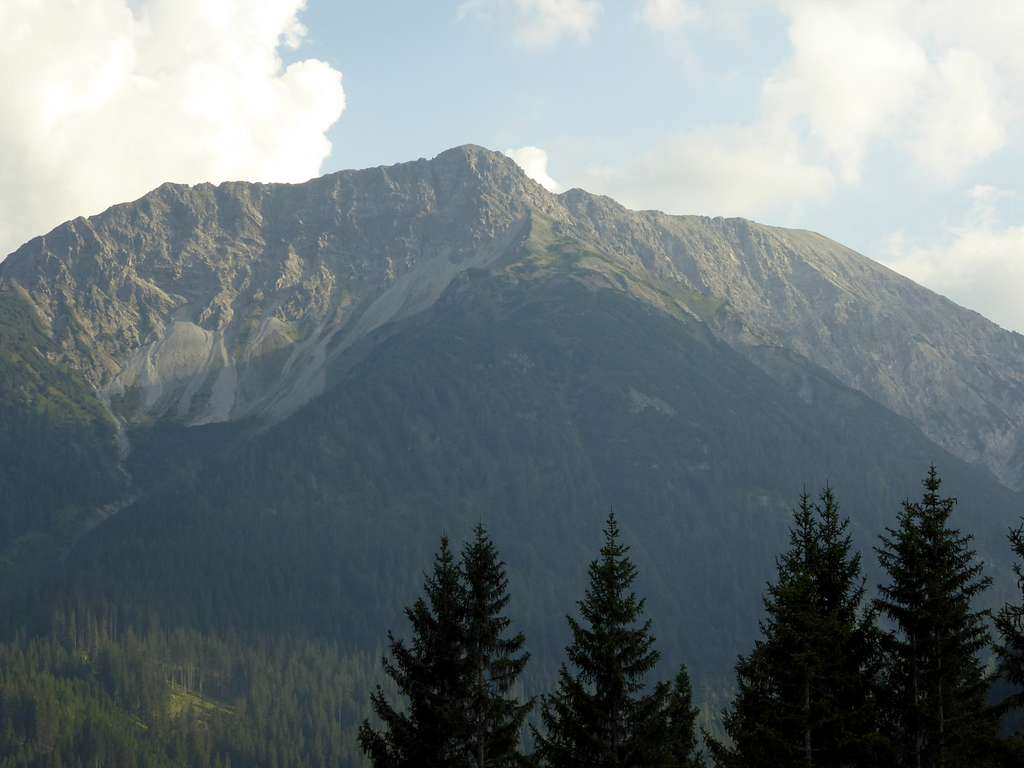
Schlierewand, as the whole Rudiger subgroup, is not a wellknown summit. Chances of being rather alone are not bad. It is an easy hiking summit during summer and autumn and a not very frequented ski tour in winter.
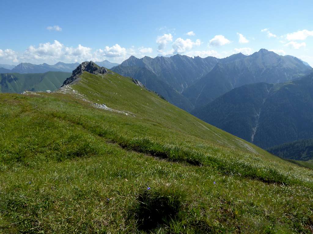
From trailhead at Kelmen you can do a great traverse of Schlierewand, Sandegg, Seelakopf, Engelspitzen and Schlierekopf and/or Kalter Stein. As Seelakopf traverse is in parts off trail scramble with some grade I moves, this traverse is not for beginners. If you like a quiet day in great surrounding, Schlierewand and the Rudiger subgroup is a great outing.
Getting There
Best trailheads for Schlierewand are:
Kelmen or
the parking area near Rotlech bridge of the road number L27 between Berwang and Namlos.
By car:
From Reutte or Arlberg direction
- use road number 198 to Stanzach. Turn on the “Berwang-Namloser Landesstraße”, number L 27, (signs for Namlos, Berwang)
- alternatively use road number 179 from Reutte to Bichlbach and turn on the L 27 road.
From Innsbruck
- go on highway A 12 to the exit “Telfs”, proceed on road number 189 to Nassereith and on road number 179 to Fernpass, Lermoos and Bichlbach. Follow the signs to Berwang and Namlos on road number L 27.
From Munich
- take highway A95 to its end and proceed on road number B2 and B23 / 187 to Lermoos. Turn on road number 179 to Bichlbach and go on road number L 27.
Pass through Berwang and Rinnen, take the right hand road at a road junction after Rinnen, descend into Rotlech valley and pass the river on the roads bridge.
Two switchbacks after the bridge there is a huge hikers parking area alongside the road; this is a good trailhead for Schlierewand forth and back.
Alternatively proceed on the road to Namlospass col, about 1 km before the village of Kelmen. There is a small parking area about 500 m after the col on the right or left side of the road. This is the trailhead for Kelmer Kar cirque and Sandegg, Schlierewand, Seelakopf, Engelspitzen, Schlierekopf and Kalter Stein.
Public transportation:
Nearby railroad station is: Bichlbach
Bus number 151 goes to Rinnen. There is no public transportation to Kelmen as far as I know.
Routes Overview
Trailhead Rotlech bridge:
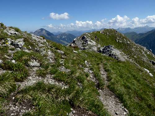
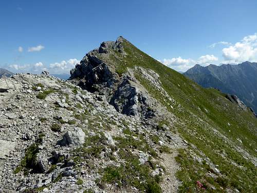
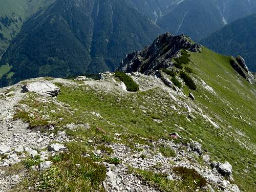
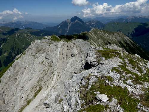
Follow the forest road into Rotlech valley in southeastern direction. Take the first trail to the right zigzagging up to Schlierewand, using the northeast ridge of the mountain. You easily can proceed to Sandegg on the southwestbound ridge.
Kelmer Kar cirque route: Trailhead Kelmen.
Ascend the meadow to the south of the trailhead on a car track and a trail to the bridge over Kelmen creek. Ascend the valley up to Kelmer Kar cirque and the forest service hut. There is a trail junction. Take the left hand trail which leads up to Sandegg. Follow the ridge northeastbound to Schlierewand.
Ski route:
Trailhead Rotlech bridge. Follow the forest road into Rotlech valley. After crossing Knodenbach creek ascent the slopes and woods in southwest direction into the northeast cirque of Schlierewand. Leave the cirque to the left and ascent the north ridge to the summit. Not very frequented ski tour for the advanced.
Red Tape & Accommodation
No red tape as far as I know
You find accommodation at:
There are no mountain huts around.
Gear & Mountain Condition
Schlierewand can be summited nearly the whole year.
It is an easy hiking summit in late spring, summer and autumn and requires normal hiking gear.
In winter it is a moderate ski tour and needs full ski tour and avalanche gear.
See the Tirol avalanche bulletin here.
Weather condition:
Map
Alpenvereinskarte, scale 1 : 25000
number 3 / 4, Lechtaler Alpen, Heiterwand und Muttekopfgebiet
with trails and ski routes, UTM grid
edition 2020


