-
 2245 Hits
-
 76.66% Score
-
 7 Votes
|
|
Mountain/Rock |
|---|---|
|
|
47.75105°N / 12.40557°E |
|
|
Hiking |
|
|
Spring, Summer, Fall, Winter |
|
|
5207 ft / 1587 m |
|
|
Overview
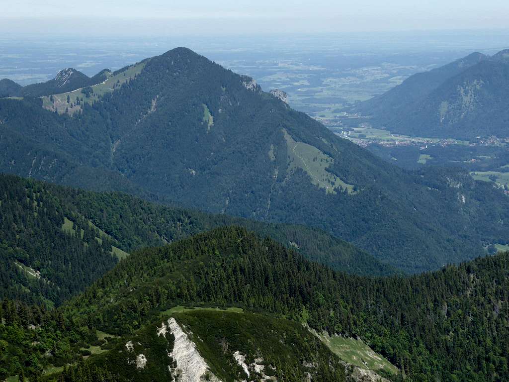
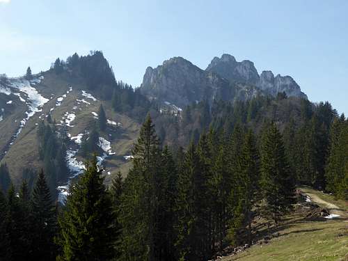
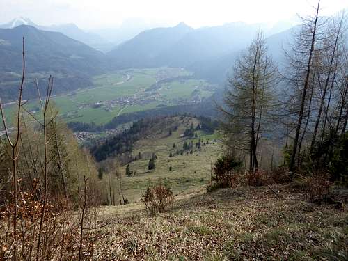
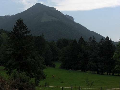
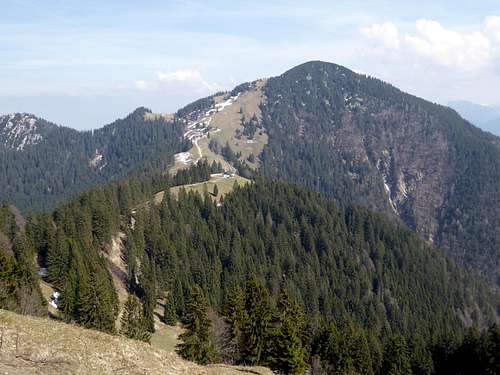
Chiemgauer Hochplatte is one of the first row mountains of Chiemgauer Alpen above the southern Bavarian plain and rises east of the rocky Kampenwand. To the east, Hochplatte drops down to Tiroler Ache valley with the village of Marquartstein. To the south this mountain is bordered by Schleching valley.
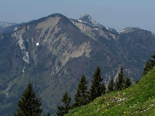
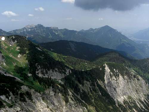
A broad saddle separates pyramidal shaped Hochplatte from the chaotic rock ridge of Kampenwand and its eastern secondary summits thus making a very different couple of mountains.
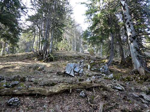
Whereas the rock summit of Kampenwand is an astonishingly good lookout the summit of Chiemgauer Hochplatte is heavily overgrown by dwarf pines. They reduce the views significantly.
Due to the dwarf pines Chiemgauer Hochplatte is not a ski tour mountain – one of the few examples within Chiemgauer Alpen. Offering easy hikes from late spring to late autumn and even winter – depending on the amount of snow – Chiemgauer Hochplatte is a frequented mountain albeit not as much as on Kampenwand.
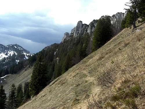
I like most the traverse Kampenwand – Chiemgauer Hochplatte in springtime, using the southern trailhead. Usually the south slopes are free of snow in April. The snow still lingering on the north and east slopes prevent many people doing this traverse. Thus you can savour two well known peaks of Chiemgauer Alpen with very few people and the traverse – on itself a nice outing in a spectacular landscape – is more interesting and demanding.
Getting There
Main trailheads are:
- Rottau for the north ascent
- Marquartstein for the east route
- Schleching / Mühlau for the south routes
- Kampenwand summit for the traverse route
| 
|
You reach the valley trailheads by car
- from Munich and Salzburg by using highway number A 8 to the exit Bernau, then on road number B 305 direction Grassau.
- for trailhead Rottau turn right on Adersbergstraße at the entrance of the village
- for trailhead Marquartstein proceed on road number 305 to Grassau. At Grassau follow the signs to Marquartstein on Pettendorfer Straße and again on road number B 305. At Marquartstein follow the signs to “Hochplattenbahn”, a cablecar at the west end of the village. Park your car there.
- for Schleching / Mühlau trailhead follow B 305 passing through Marquartstein. At the road junction south of the village go right onto road B 307, direction Schleching. Arriving at Mühlau turn right on Kampenwandstraße and on Dalsenstraße. Proceed to the hiker parking area.
The nearest railway station is Bernau am Chiemsee.
RVO bus number 9505 and 9509 go to Rottau, Marquartstein and Schleching/Mühlau.
Routes Overview
South route from Mühlau
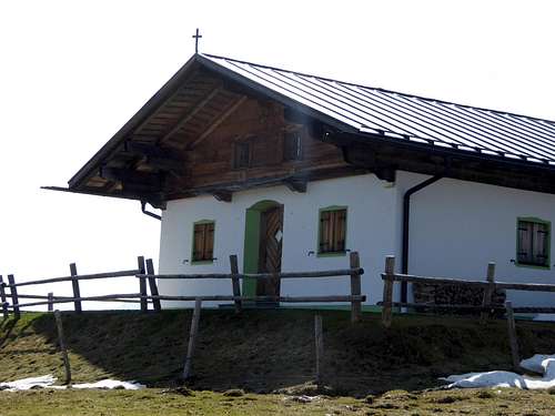
Follow trail number 62 to Oberauerbrunstalm and up the southwest ridge of Hochplatte. At a trail junction go straight on and follow the south ridge trail up to the summit.
Alternatively follow trail number 62 at the trail junction to the left; turn right on a forest road after passing by a mountain guard hut and follow the road up to the north ridge of Hochplatte. Use the marked north ridge trail up to the summit.
Both alternatives form a nice loop route.
North route
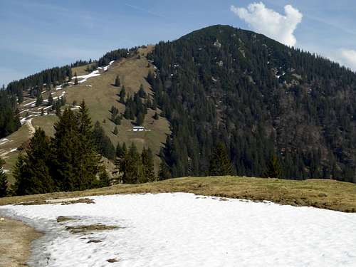
From the parking area follow the forest roads, route number 45 and 46 to Vordere Rottauer Alm and on route 46 to Hintere Rottauer Alm. Take the left hand trail up to Piesenhauser Hochalm. Follow the forest road number 66 and 204 to the north ridge of Hochplatte and take the right hand summit trail to the summit.
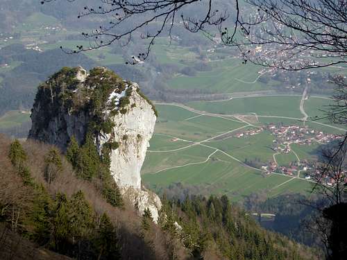
| 
|
East route
There are several unnumbered trails starting near the cable car valley station of Marquartstein, using the north or southeast slopes of the east ridge of Hochplatte. They all end at Plattenalm. Take the forest road up to the north ridge of Hochplatte and the summit trail.
Traverse route from Kampenwand
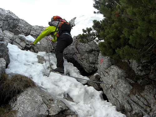
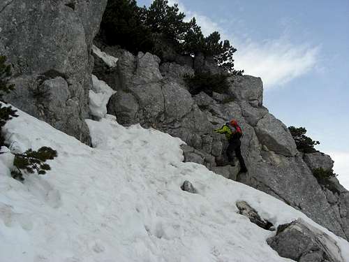
Starting near the summit cross a marked and partly secured route drops down the east face of Kampenwand. Nice but short rock climb, secured with steel cables and some iron pegs.
| 
|
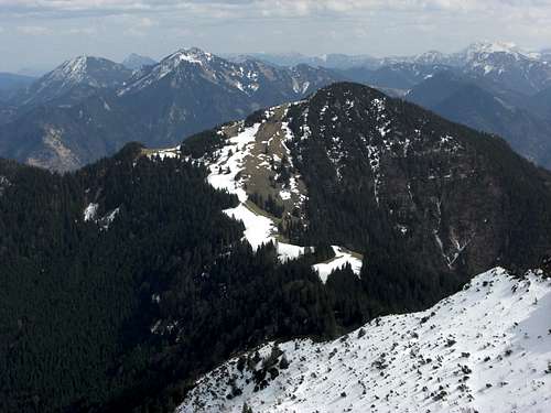
After a steep descent through dwarf pine thickets you reach a notch and the trail junction with the Steinlingalm – Sonnenalm connecting trail. Follow the trail number 66, traversing the south side of Hochalpenkopf, a secondary summit of the Kampenwand ridge. East of Hochalpenkopf the trail descends to Naderbauerkaseralm and Piesenhauser Hochalm on the broad col between Kampenwand and Chiemgauer Hochplatte. Take the forest road until you reach the north ridge of Hochplatte. Turn right on the summit trail u the north ridge to the summit.
| 
|
Red Tape
Red Tape
There is a winter protection zone at the uppermost north and east ridge; snow shoe hikers should not trespass this area in winter and early spring.
Accommodation
All types of accommodation can be found at
Gear & Mountain Condition
Chiemgauer Hochplatte is a hiking summit.
Hikes can be done from spring to late autumn / early winter, depending on the amount of snow.
You need normal hiking gear for spring, summer and autumn, hiking poles and gaiters in winter or early spring can be useful. The trails are all maintained and marked.
Snow shoe hiking is possible for winter and early spring times.
Check the Bavarian avalange bulletin for your snow outings.
/* */ Das Wetter in Marquartstein
Maps
Alpenvereinskarte, Bayerische Alpen, number BY 17, Chiemgauer Alpen West; with trails and ski routes, UMT-grid, scale 1 : 25.000, edition 2009
This is the best map available even if the austrian part is only an enlargement of the austrian maps, scale 1 : 50.000. The map is part of the “Alpenvereinskarten digital” edition.
Topographische Karten von Bayern, number UKL 50-54, Chiemsee, Chiemgauer Alpen, trails and MTB routes, UTM grid, scale 1 : 50.000, edition 2016
More maps are available at Kompass Verlag or Freytag & Berndt Verlag


