-
 1448 Hits
-
 76.66% Score
-
 7 Votes
|
|
Mountain/Rock |
|---|---|
|
|
Hiking, Skiing |
|
|
Spring, Summer, Fall, Winter |
|
|
5833 ft / 1778 m |
|
|
Overview
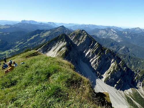
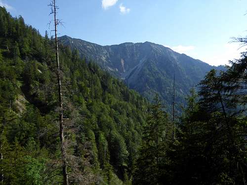
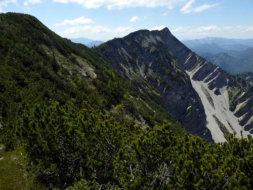
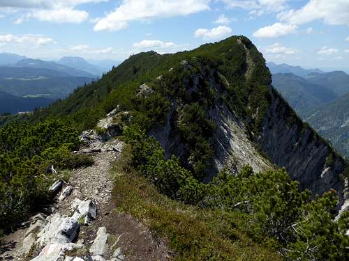
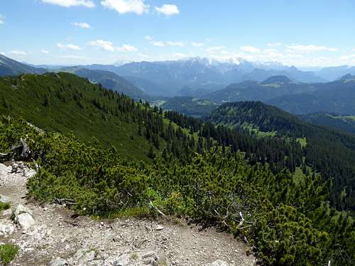
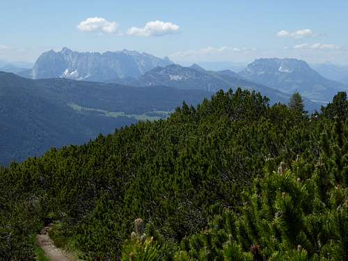
Deep within Chiemgau Alps and part of the subgroup of Southern Chiemgau mountains, Dürrnbachhorn, a long west – east running ridge with several subsummits, shows two very different faces.
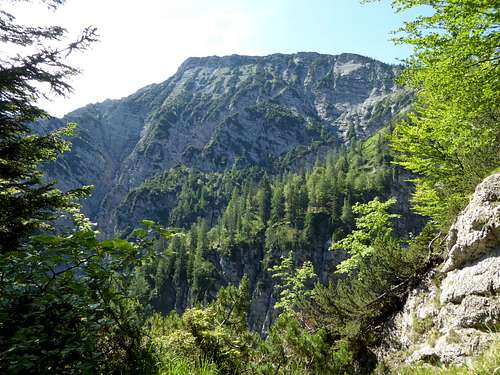
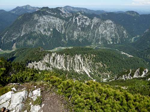
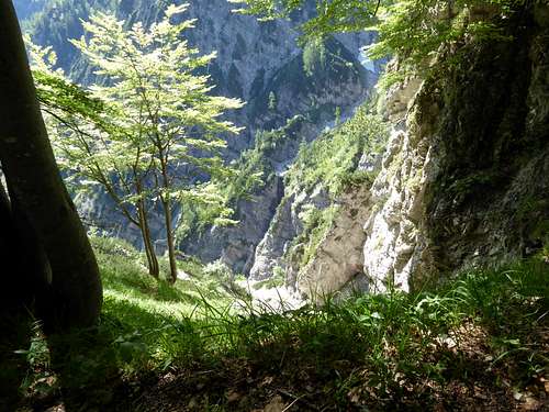
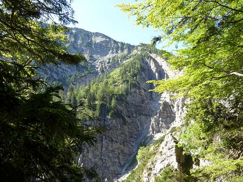
The north side is steep, with frail and rugged rock faces, deep cut in valleys and canyons and – as the denomination says: dry creek horn – nearly without water.
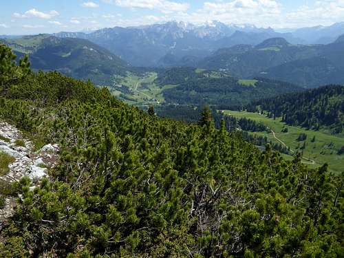
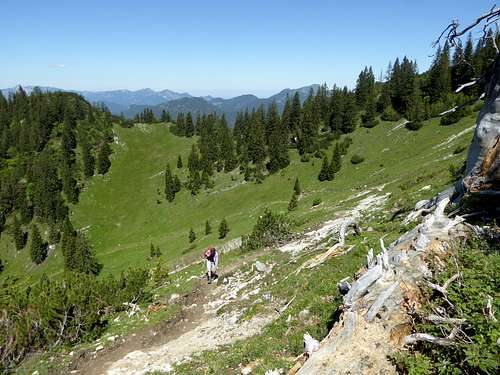
The south side however is a gentle meadow and dwarf pine slope, bathing in the warm sun and – as the denomination says: dry creek horn – nearly without water.
Be warned and bring enough water when you hike on Dürrnbachhorn!
Dürrnbachhorn is located south of Seetraun valley with some mountain lakes, north of famous Winklmoosalm and of Austrian Heutal, west of the highest Chiemgau peaks Sonntagshorn and Reifelberge and east of some hills east of Reit im Winkl. It is a small world in itself and has, as mentioned above, many secondary summits: Hausgrabenkopf, Wildalphorn, Kreuzschneid, Fahsteigenschneid and Hochbrunstkopf. Hausgraben and Langer Sand to the north are the most important valleys running down from the summit ridge.
Another aspect of these two faces is important, too: the north side features two ascent possibilities, which can be combined to a long and interesting traverse. These two routes are narrow, steep, unmarked and you will be very lonely. You will have a great landscape, wild views into the valleys and canyons of the north faces and you have the opportunity to traverse several subsummits of Dürrnbachhorn. Peak baggers will love this traverse!
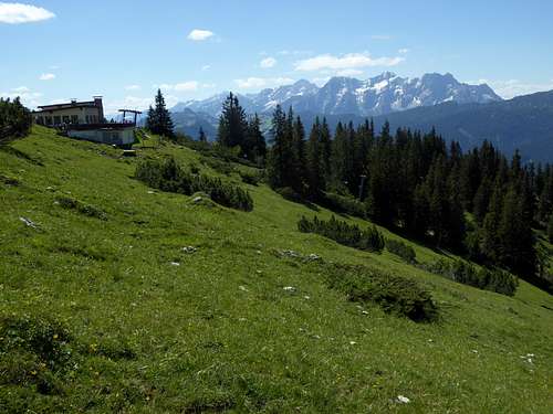
The south side likewise has two ascent routes, which can be combined to a less long and substantial traverse as you pass by a mountain inn hosting the very best “Kaiserschmarrn” (a cut-up thick pancake with raisins) of the whole Alps (as people say, I did not try it). The cherry on the top is a historic chairlift ending some 200 meters below the highest point of Dürrnbachhorn.
Between the mountain station of this chairlift, the summit zone and the descent to the above mentioned mountain inn you will meet hundreds of “hikers” on sunny days.
My advice is: do the north side traverse, endure the masses for about one hour of walk and enjoy the wild and lonely northern ascent and descent.
Getting There
The northern trailheads are the two parking areas at Lödensee, east and west of Langer Sand.
The southern trailheads are at Winklmoosalm and at Gföll / Heutal valley.
By car:
From Munich on highway A8 to exit Bernau am Chiemsee. Follow road number B305 to Grassau, Marquartstein, Reit im Winkl and to the Lödensee trailheads.
For Winklmooralm leave road number B305 at Seegatterl and follow the road to the parking area of Winklmoosalm.
From Salzburg likewise on highway A 8 to exit Traunstein/Siegsdorf. Follow first road B 306 and then to the right on road ST2098 to Ruhpolding. Go to road number B 305 and follow this road to the northern trailheads. For Winklmoosalm go on to Seegatterl and turn left on the road to Winklmoosalm.
From Inntal and Kufstein direction exit the Inntal highway at Kufstein Nord and follow road number 175 and then 172 to Kössen and Reit im Winkl. From there follow road number B 305 to the northern trailheads and alternatively to Winklmoosalm via Seegatterl.
The Heutal trailhead can be reached using the road number B 21 (Germany) or 178 (Austria) between Bad Reichenhall and Lofer. At the village of Unken turn on Heutal Landesstraße and follow it to its end at Heutal parking area.
Public transportation:
The nearest northern railroad station is Ruhpolding. Bus number 9506 goes from the railway station to the trailhead at Langer Sand / Lödensee or to Seegatterl. From there use the Winklmoos cableway to reach the Winklmoos trailhead.
For Heutal trailhead I have no information about public transportation facilities.
Routes Overview
Routes to Dürrnbachhorn and its secondary summits:
Northern routes:
Trailhead Lödensee, west of Langer Sand:
Take forest road to the east and south to its end, follow the narrow trail up Hausgraben creek into woods and to a ridge. Take the left hand trail at a trail junction, following the ridge. At the height of Hausgrabenkopf take again the left hand trail (to the right you easily can summit Hausgrabenkopf, 20 minutes to and back) and gain steep and sometimes with bushwacking the east meadows of Dürrnbachhorn. Traverse to the chairlift mountain station and follow the marked trail to the summit ridge with its many small summit bumps.
Trailhead Lödensee, east of Langer sand:
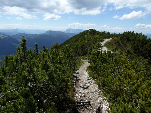
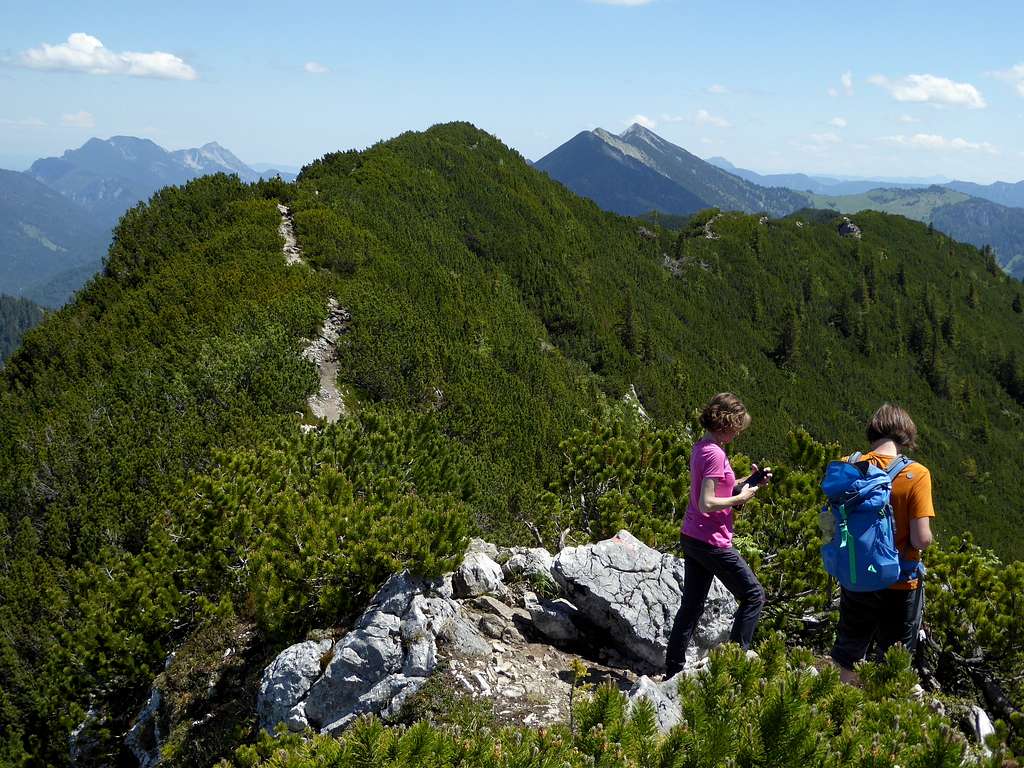
Follow Langer sand east rim on a narrow path until you reach a better trail coming from left. Follow this trail in many zigzags up to the col between Richtstrichkopf to the north and Hochbrunstkopf to the south. Turn south and climb Hochbrunstkopf. Descend shortly into a col and follow steep and slippery rocks, secured with several ropes up to Fahsteigenschneid (crux of the route, UIAA grade II, often wet and slippery rocks). Follow the ridge to Kreuzschneid and to the main ridge of Dürrnbachhorn. The trail continues through dwarf pine thickets to Wildalphorn and to the trail junction with the south route. Follow the marked trail to the summit.
Both routes can be combined to a long traverse.
Southern routes:
Trailhead Winklmoosalm:
Follow the forest road to Dürrnbachalm and the marked trail to the mountain station of the chairlift (alternatively go up with the chairlift). Follow the marked trail to the summit.
Trailhead Heutal / Gföll:
Follow the forest road to Wildalm and the marked trail to Gimplingsattel. The trail reaches the main ridge west of Wildalphorn (junction with the north route via Wildalphorn) and follows the main ridge to the culmination point of Dürrnbachhorn.
Between Winklmoosal, Gimplingsattel and Wildalm are several marked trails and forest roads which allow southern loop routes and a traverse of the main ridge from the southern trailheads, too.
Ski Routes:
Two easy ski routes go to Dürrnbachhorn, one from Winklmoosalm, the other from Heutal / Gföll, Wildmoos ski area. Both routes touch ski runs.
Red Tape & Accommodation
Red Tape:
The German part of Dürrnbachhorn lies within the nature protection area “Östliche Chiemgauer Alpen”. There are no entrance fees or special restrictions. Please respect the following common rules:

Accommodation:
Mountain huts (only drinks and food)
Gear & Mountain condition
Dürrnbachhorn is mainly a hiking summit, requiring normal hiking gear and good boots.
The northern ascents are steep and long outings on narrow and unmarked trails. The northern part of Fahsteigenschneid is a steep rock ascent / descent, which is secured with ropes. Nevertheless you should have some experience with rocks and exposed terrain there. The rock is often wet and slippery. Without ropes: UIAA grade II !
The two easy ski routes from Winklmoosalm or from Heutal are ski tours for beginners. Nevertheless you need full ski tour gear and avalanche gear. As the summit area of Dürrnbachhorn is a dwarf pine thicket those ski routes need lots of snow to be fun.
Check the Tirol avalanche bulletin here.
Weather condition Dürrnbachhorn summit:
Map
Alpenvereinskarte Bayerische Alpen, scale 1 : 25000
number BY18, Chiemgauer Alpen Mitte, Hochgern, Hochfelln
with trails, ski and snow shoe routes
UTM grid, edition 2017


