-
 1034 Hits
-
 75.81% Score
-
 6 Votes
|
|
Mountain/Rock |
|---|---|
|
|
Hiking |
|
|
Summer, Fall |
|
|
4633 ft / 1412 m |
|
|
Overview
Hausgrabenkopf is one of the many secondary summits of Dürrnbachhorn within the southern part of Chiemgau Alps. Dürrnbachhorn and its two north ridges embrace the Langer Sand valley and canyon system north of the main ridge. Hausgrabenkopf sits on the western north ridge of Dürrnbachhorn.
There are several “Hausgraben” valleys culminating at Hausgrabenkopf summit: Langer Hausgraben to the east, Rohrechhausgraben to the west and Hausgraben to the north.
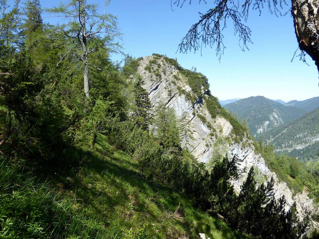
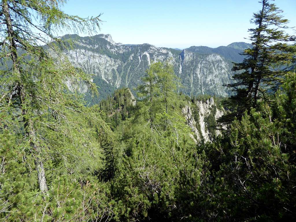
Hausgrabenkopf can be summited within 10 minutes from the northwest ascent route to Dürrnbachhorn. It is a nice rocky outcrop of the ridge, bears a summit cross and offers good views into Chiemgau Alps and down to the many lakes north of Dürrnbachhorn.

Getting There
Trailhead is Lödensee parking area west of Langer Sand valley.
Please see the Dürrnbachhorn main page for further information.
Route
Dürrnbachhorn and its secondary summits, routes overview
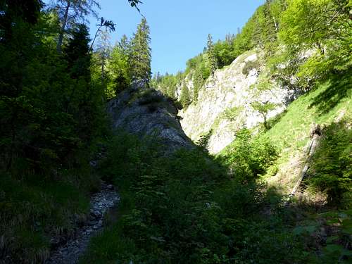
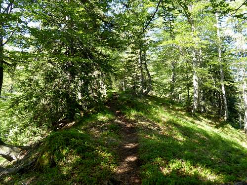
Follow the east and then southbound forest road along Langer Sand valley. At the roads end follow the steep trail up Hausgraben and onto the western north ridge of Dürrnbachhorn. Go left at a first trail junction and follow the ridge until a second trail junction. Go right there and climb shortly up to the summit.
Back the same route or follow the north ridge trail up to Dürrnbachhorn.
Red Tape & Accommodation
See the Dürrnbachhorn main page for area restrictions and for accommodation.
Gear & Mountain Condition
Hausgrabenkopf is a hiking summit throughout late spring, summer and autumn. It is a moderate difficult hike on steep, mainly unmarked and narrow hunter trails.
You need normal hiking gear for that mountain.

Weather condition:
Map
Alpenvereinskarte Bayerische Alpen, scale 1 : 25000
number BY18, Chiemgauer Alpen Mitte, Hochgern, Hochfelln
with trails, ski and snow shoe routes and UTM grid
edition 2017


