-
 1117 Hits
-
 76.66% Score
-
 7 Votes
|
|
Mountain/Rock |
|---|---|
|
|
Hiking, Skiing |
|
|
Spring, Summer, Fall, Winter |
|
|
4967 ft / 1514 m |
|
|
Overview
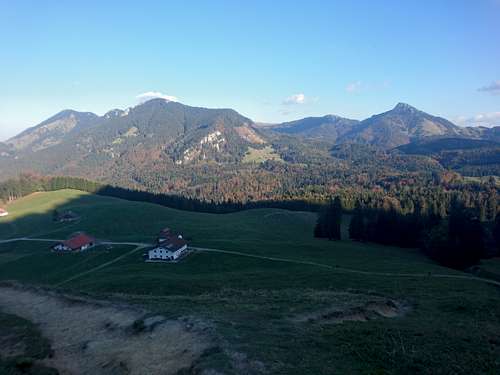
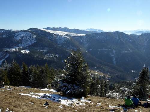
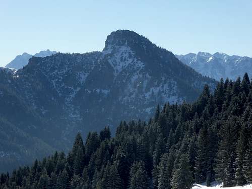
The U – shaped Hochries subrange of Chiemgau Alps with Trockenbach valley in the center opens to the southwest, to Inntal valley and to Austria. The northwestern rim of this U however lies completely in Germany; due to old cattle grazing rights the border makes some strange moves here.
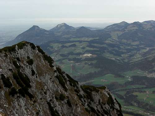
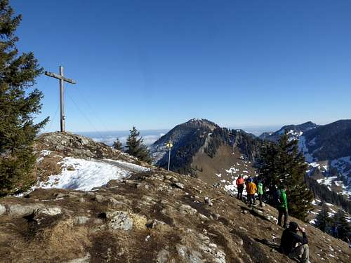
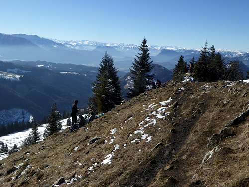
The southwestern end of the rim is built by the summit of Feichteck, a not very high summit with astonishing good views, due to its unhampered position above Inntal valley.
Feichteck is part of the alpine playground of the town of Rosenheim and its surroundings. It is a year round summit and easily accessible from the northern trailheads south of Samerberg / Grainbach.
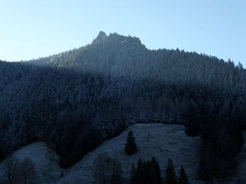
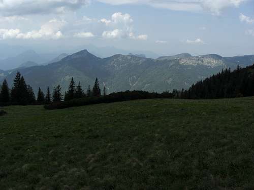
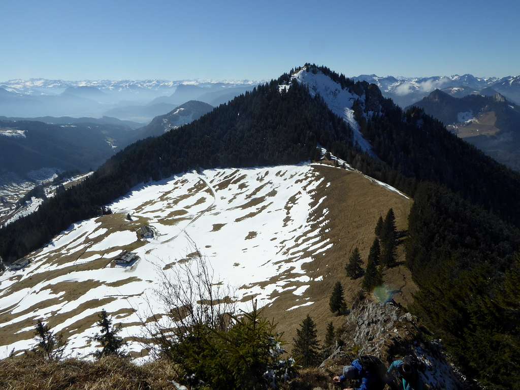
To the northeast there is the neighbour summit Karkopf, part of the traverse from Feichteck to Hochries. To the southwest the southwest ridge of Feichteck drops down to a col which separates the Feichteck – Hochries area from the Kranzhorn area, a summit standing directly above Inntal valley like a sentinel at the entrance to the Austrian part of this huge alpine valley.
Getting There
There are several trailheads for Feichteck in the Samerberg area north of the mountain.
Yor reach Samerberg by car
Via highway number A 8, Munich – Salzburg, using exit “Achenmühle”
Follow road number RO5 to the village of Achenmühle. Turn right there on road in the direction to Samerberg until you reach the village of Grainbach.
- First trailhead / parking area is the Hochries cablecar valley station.
- Second trailhead is at the hiker parking area “Spatenau” south of Grainbach (parking fee)
- Third trailhead is the hiker parking area “Bruchfeld / Gammern” (parking fee), further on the road
Coming from Innsbruck / Kufstein area use highway A 92 to the exit “Brannenburg”.
Turn on road number St2359 to the village of Nußdorf, turn left there, staying on St2359. Take the right hand road at the next road junction in direction of Samerberg. Stay on this road until you reach Grainbach. Choose your trailhead as described above.
Public transportation
Nearby railroad station is Rosenheim.
Bus number 9493 goes from Rosenheim to Grainbach. Start there from the valley station of Hochries cable car.
Routes Overview
Main routes to Feichteck are:
Spatenau - Feichteck direct route
Hiker parking area "Spatenau" - trail 216d to Doaglalm - forest road to Pölcher Scharte col - trail 221 / 34 to the summit, ascending the northeast ridge
Bruchfeld / Gammern south route
Hiker parking area "Bruchfeld / Gammern" - forest road to Wagneralm
alternatively trail number 33 via southwest ridge to Feichteck or forest road to Wirtsalm and trail 33, 34 to Feichteckalm and Feichteck
This is the ski route, too
Traverse route
The trail 221 traverses Feichteck and Karkopf to Hochries
There are many other routes, shortcuts, combinations and loops possible. Please consult the maps to find them out.
Red Tape & Accommodation
Red Tape
There are some local restrictions in this area.
Wildlife Protection area on the north slope of Feichteck with entrance restriction between 15. october through 15 may of every year. This area however lies outside and routes and trails.
Winter Protection area on the southeast slopes of Feichteck between Feichteckalm and Pölcheralm. Marked trails and the ski route lies outside this area.
Pleas respect these protected areas and do not enter them during the indicated times.
Accommodation
Mountain huts
Alfred-Drexel-Haus (only food and drinks)
Gear & Mountain Condition
Feichteck is a year round summit.
In spring, summer, autumn and even winter it is an easy hiking summit which requires only good hiking gear.
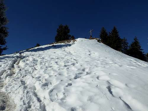
With more snow Feichteck is a good snow shoe summit.
The ski route is one for beginners. Avalanche gear should be with you. The Bavarian avalanche bulletin can be checked here.
Valley weather, Samerberg
Mountain weather, Hochries
Webcams
Maps
Alpenvereinskarte Bayerische Alpen
scale 1 : 25.000
Number BY17, Chiemgauer Alpen West, Hochries, Geigelstein
With trails and ski routes, edition 2020
More maps with scale 1 : 50000 can be purchased from Freytag & Bernd, Kompass or from Bavarian Topografic Services


